Boney Falls Basin
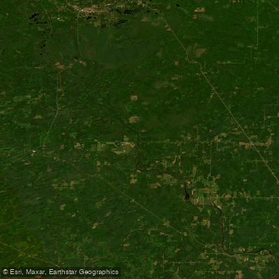
Boney Falls Basin
- Boat Ramps
- 6
- Access Points
- 7
- Campsites
- 1
Boney Falls Basin is a popular paddling destination on the Escanaba River in Michigan's Upper Peninsula. The basin is formed by the Boney Falls Dam and serves as a take-out point for a 10-mile Class I-II whitewater stretch from Highway Camp Ground. For a longer trip, paddlers can continue downstream from Boney Falls Dam to CR420, covering 17 miles of Class II(III) whitewater.
Spring offers the best water levels for paddling, with high flows providing more challenging rapids. By June, water levels can drop significantly, sometimes barely covering rocks in the river. Paddlers should check water flow data before their trip, as levels below 1000 cubic feet per second can make navigation difficult.
Wildlife viewing opportunities abound along the river. Bald eagles nest near the Boney Falls Dam, with three pairs often seen fishing the waters. Paddlers may also spot whitetail deer, black bear, and various bird species. The area is known for excellent trout fishing.
Boney Falls Basin Campground provides amenities for paddlers, including restrooms, water hookups, and opportunities for fishing and swimming. The campground's proximity to the river makes it a convenient base for paddling trips.
The surrounding landscape features scenic beauty typical of Michigan's Upper Peninsula. Summer temperatures average in the 70s during the day, dropping to the 50s at night. September tends to be the wettest month, while February is the driest.
When planning a trip, paddlers should be aware that the Escanaba River's rapids are generally less demanding than those found in other states. However, as with all whitewater paddling, checking current conditions and using appropriate safety gear is essential.
Water access, boat ramps & amenities
Learn how to get on Boney Falls Basin. Uncover great paddling access points, boat ramps, and all the facilities you need for an unforgettable day on the water. Some locations shown may border or include private property. Always check property boundaries and applicable regulations before visiting. PaddleWays's Public & Private Land layer can help you plan your access with confidence.
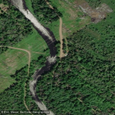
Paddle smarter with real-time insights
Whether you're en route and conditions shift or you're looking for the best spot based on current flows, we enable you to make informed decisions on the fly.








Find Places to Paddle

Over 400,000 Places to Paddle
Every user gets free access to launch points, boat ramps, and public property parcels.


Water and weather conditions (10 day forecast)
See the best times to paddle Boney Falls Basin and check the forecast before you go.
No forecast data available.
Paddling near Boney Falls Basin

Lake Superior

Lake Michigan
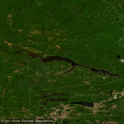
Dead River Storage Basin
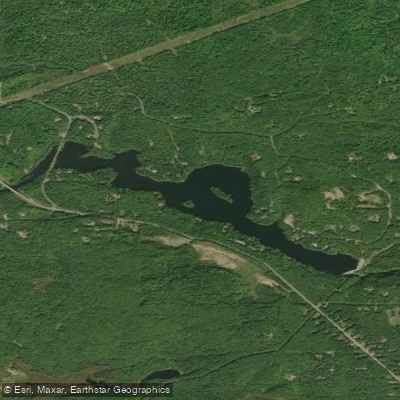
McClure Storage Basin
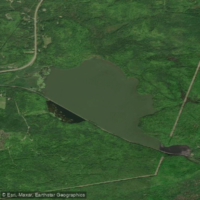
Goose Lake
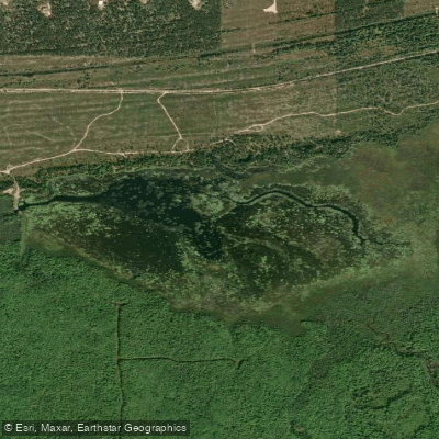
Lake LeVasseur
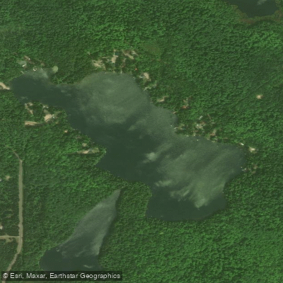
Sporley Lake
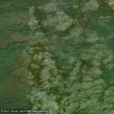
James D Jeske Flooding
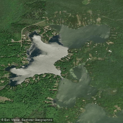
Shag Lake
Explore Michigan waters
Top paddling waters
Popular Cities
Loading popular cities...
Explore near Boney Falls Basin
Access points
Nearby waters
More in Michigan

Smarter Paddling Starts in the App.
Paddleways gives you everything you need to plan smarter, paddle better, and own every trip from first launch to takeout.