McClure Storage Basin
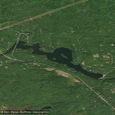
McClure Storage Basin
- Boat Ramps
- 2
- Access Points
- 2
- Campsites
- 1
McClure Storage Basin is an impoundment on Michigan's Dead River, characterized by dramatic landscape features including tall hills and sharp rock outcroppings that create a rugged shoreline uncommon in the Midwest. The basin serves as the middle impoundment in a series of reservoirs along the Dead River.
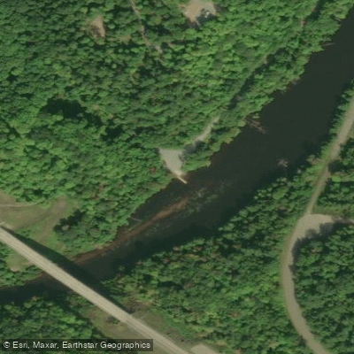
Access is available via a public boating access site off McClure Storage Basin Road, which can be reached by taking County Road 502 from US-41 (2.5 miles west of Marquette) to County Road 510, then turning right on Neejee Road. Note that the boating access site will be closed June 1-10, 2024 for culvert installation and improvements to the road and parking area.
The basin features clear, slightly acidic to neutral pH waters (6.3 to 7.7) with a characteristic tea-colored stain from organic materials. Water quality generally meets Michigan state standards, though the basin is not used as a drinking water source. The area supports various game fish species and serves as part of a larger watershed system that eventually flows to Lake Superior.
Important Safety Considerations: - McClure Dam is located at the downstream end of the basin and is secured by chain link fencing - The dam creates a waterfall and dangerous rapids immediately downstream - Multiple housing areas are located along the north shore accessed by side roads off Neejee Road
The surrounding landscape consists primarily of second-growth northern hardwoods, mixed swamp conifers, and pine forests, providing habitat for various wildlife species. The basin's location near Marquette makes it accessible for day trips, though paddlers should be mindful of the dam and maintain a safe distance from it.
Water access, boat ramps & amenities
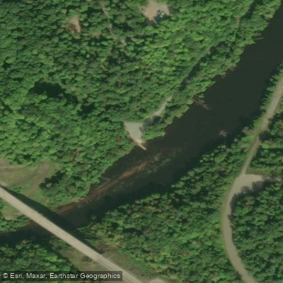
Learn how to get on McClure Storage Basin. Uncover great paddling access points, boat ramps, and all the facilities you need for an unforgettable day on the water. Some locations shown may border or include private property. Always check property boundaries and applicable regulations before visiting. PaddleWays's Public & Private Land layer can help you plan your access with confidence.
Paddle smarter with real-time insights
Whether you're en route and conditions shift or you're looking for the best spot based on current flows, we enable you to make informed decisions on the fly.








Find Places to Paddle

Over 400,000 Places to Paddle
Every user gets free access to launch points, boat ramps, and public property parcels.


Water and weather conditions (10 day forecast)
See the best times to paddle McClure Storage Basin and check the forecast before you go.
No forecast data available.
Paddling near McClure Storage Basin

Lake Superior

Lake Michigan
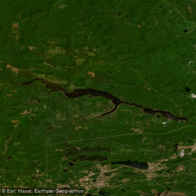
Dead River Storage Basin
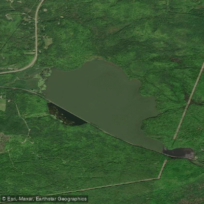
Goose Lake
Boney Falls Basin
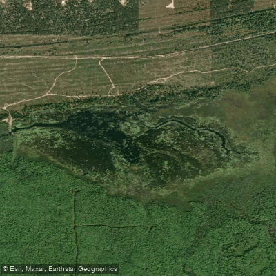
Lake LeVasseur
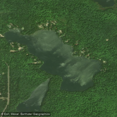
Sporley Lake
James D Jeske Flooding
Shag Lake
Explore Michigan waters
Top paddling waters
Popular Cities
Loading popular cities...
Explore near McClure Storage Basin
Access points
Nearby waters
More in Michigan

Smarter Paddling Starts in the App.
Paddleways gives you everything you need to plan smarter, paddle better, and own every trip from first launch to takeout.