Lake LeVasseur
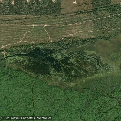
Lake LeVasseur
- Boat Ramps
- 2
- Access Points
- 2
- Campsites
- 0
Lake LeVasseur, located in Chocolay Township near Marquette, is a managed marsh complex created in 1953 with the construction of a dam on LeVasseur Creek. The lake functions as a unique marshland habitat that serves as critical nesting and stopover grounds for waterfowl, including mallards, wood ducks, blue-winged teal, ring-necked ducks, and Canada geese.
The lake's water levels are actively managed by the Michigan Department of Natural Resources Wildlife Division, with periodic drawdowns to simulate natural wetland conditions. These fluctuations contribute to the regeneration and diversity of wetland plant communities and aquatic insects. The shallow water and soft bottom characteristics make it particularly suitable for wildlife observation while paddling.
A notable feature is the cooperative effort between the Keweenaw Bay Indian Community and the DNR to cultivate wild rice in the lake, adding both cultural significance and ecological value to the waterway. Paddlers can observe osprey nests in trees surrounding the lake.
The lake is accessible for kayaking and is considered suitable for leisure paddling, though visitors should be aware that it is primarily managed as a wildlife area. Its location approximately 10 miles southeast of Marquette makes it readily accessible for day trips.
Before planning a paddle on Lake LeVasseur, check with the DNR regarding water levels, as they conduct periodic drawdowns that may affect paddling conditions. A typical drawdown cycle maintains lower water levels through summer months, with refilling occurring in August and September.
Water access, boat ramps & amenities
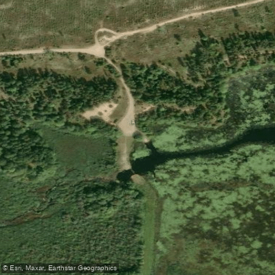
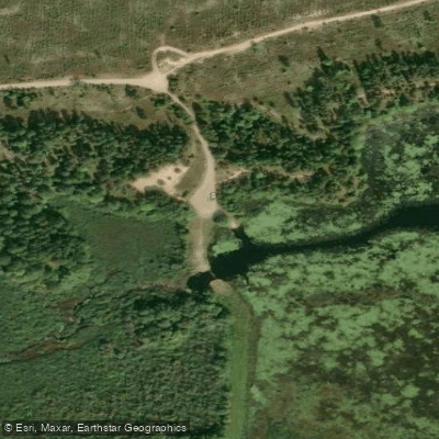
Learn how to get on Lake LeVasseur. Uncover great paddling access points, boat ramps, and all the facilities you need for an unforgettable day on the water. Some locations shown may border or include private property. Always check property boundaries and applicable regulations before visiting. PaddleWays's Public & Private Land layer can help you plan your access with confidence.
Paddle smarter with real-time insights
Whether you're en route and conditions shift or you're looking for the best spot based on current flows, we enable you to make informed decisions on the fly.








Find Places to Paddle

Over 400,000 Places to Paddle
Every user gets free access to launch points, boat ramps, and public property parcels.


Water and weather conditions (10 day forecast)
See the best times to paddle Lake LeVasseur and check the forecast before you go.
No forecast data available.
Paddling near Lake LeVasseur

Lake Superior

Lake Michigan
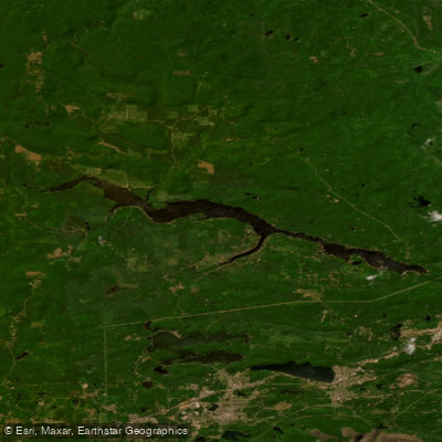
Dead River Storage Basin
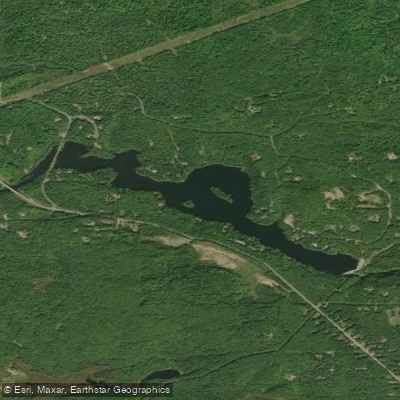
McClure Storage Basin
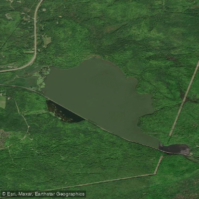
Goose Lake
Boney Falls Basin
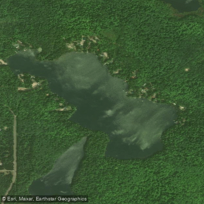
Sporley Lake
James D Jeske Flooding
Shag Lake
Explore Michigan waters
Top paddling waters
Popular Cities
Loading popular cities...
Explore near Lake LeVasseur
Access points
Nearby waters
More in Michigan

Smarter Paddling Starts in the App.
Paddleways gives you everything you need to plan smarter, paddle better, and own every trip from first launch to takeout.