Sporley Lake
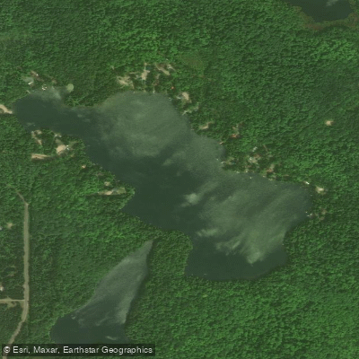
Sporley Lake
- Boat Ramps
- 2
- Access Points
- 2
- Campsites
- 1
Sporley Lake is a 77-acre pothole lake in Marquette County, Michigan, featuring relatively steep contours and a maximum depth of 42 feet. Located east of the former K.I. Sawyer airbase, the lake has remained largely undeveloped with a shoreline similar to what existed 100 years ago.
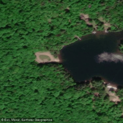
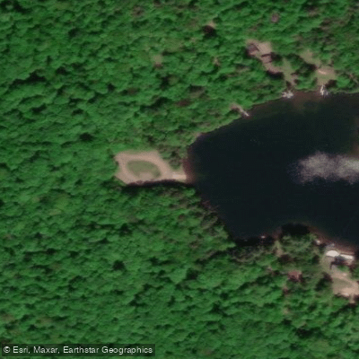
The public access site consists of an unimproved gravel shoreline with a courtesy pier and parking for approximately 5 vehicles with trailers. A outhouse is available at the access point. The lake's water clarity is notable, with secchi disk readings of 22 feet recorded.
A large shoal along the north shoreline, 10-15 feet deep, creates a littoral zone comprising about 25% of the total surface area. The lake develops a thermocline around 22 feet in summer months. Water quality testing has shown relatively low alkalinity (8 mg/l), indicating soft water conditions.
Recent paddler reports note that the lake can experience boat and jet ski traffic that creates wakes, particularly in deeper areas. The shallower ends of the lake offer calmer conditions and good fishing opportunities. The lake's water can display brilliant turquoise and bluish-green colors similar to Torch Lake and Glen Lake.
The watershed is very small, consisting mainly of direct runoff from adjacent uplands and likely some underwater springs. The surrounding landscape features gently rolling hills of coarse glacial remains with sandy and gravelly substrate. Dense mixed forest dominated by maple, with birch, pine, and spruce creates the backdrop.
The lake has experienced periodic water level fluctuations, with local concerns about the impact of nearby well withdrawals on lake levels. A small, intermittent outlet flows northwest into Big Trout Lake.
Water access, boat ramps & amenities
Learn how to get on Sporley Lake. Uncover great paddling access points, boat ramps, and all the facilities you need for an unforgettable day on the water. Some locations shown may border or include private property. Always check property boundaries and applicable regulations before visiting. PaddleWays's Public & Private Land layer can help you plan your access with confidence.
Paddle smarter with real-time insights
Whether you're en route and conditions shift or you're looking for the best spot based on current flows, we enable you to make informed decisions on the fly.








Find Places to Paddle

Over 400,000 Places to Paddle
Every user gets free access to launch points, boat ramps, and public property parcels.


Water and weather conditions (10 day forecast)
See the best times to paddle Sporley Lake and check the forecast before you go.
No forecast data available.
Paddling near Sporley Lake

Lake Superior

Lake Michigan
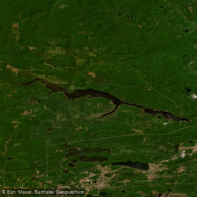
Dead River Storage Basin
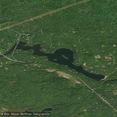
McClure Storage Basin
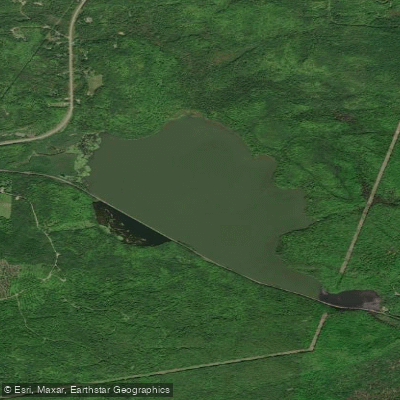
Goose Lake
Boney Falls Basin
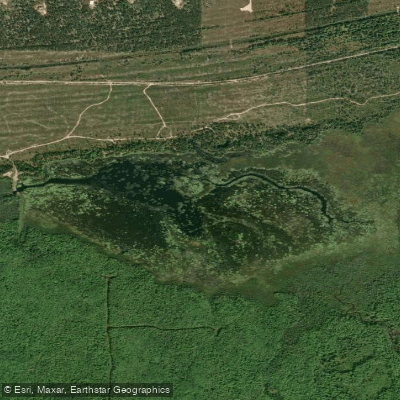
Lake LeVasseur
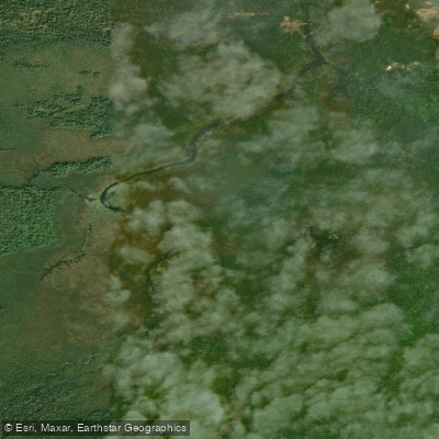
James D Jeske Flooding
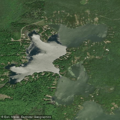
Shag Lake
Explore Michigan waters
Top paddling waters
Popular Cities
Loading popular cities...
Explore near Sporley Lake
Access points
Nearby waters
More in Michigan

Smarter Paddling Starts in the App.
Paddleways gives you everything you need to plan smarter, paddle better, and own every trip from first launch to takeout.