Shag Lake
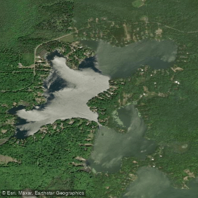
Shag Lake
- Boat Ramps
- 2
- Access Points
- 2
- Campsites
- 4
Shag Lake, located in Marquette County, Michigan, consists of two connected bodies of water - Big Shag Lake (194 acres) and Little Shag Lake (103 acres). The lake features a public boat launch on Big Shag Lake, which was renovated in 2015 with a new concrete ramp. Access is via Knudsen Road off Marquette County Road 557.
Watercraft regulations are specifically defined for both sections of the lake. On Big Shag Lake, high-speed boating and water skiing are prohibited between 6:30 PM and 10:00 AM. Additionally, a designated portion of Big Shag Lake requires slow-no wake speed at all times - this area lies between the northwest corner of government lot 4 and a line 500 feet south, running from the eastern to western shore. Similar speed and skiing restrictions apply to Little Shag Lake during evening and early morning hours.
The lake supports a diverse fish population including walleye, bluegill, bass, and northern pike, indicating a healthy aquatic ecosystem. The surrounding area is accessible year-round, though ice conditions affect winter access. The lake is situated in a rural setting near the communities of Gwinn and K.I. Sawyer.
A Recreation Passport is required for vehicle access to the boat launch. Paddlers should be aware of motorized boat traffic during permitted high-speed hours (10:00 AM to 6:30 PM) and plan accordingly. The designated slow-no wake zone provides a more protected area for paddling when motorized traffic is present. The lake's moderate size makes it suitable for day trips, with opportunities to explore both Big and Little Shag Lakes in a single outing.
Water access, boat ramps & amenities
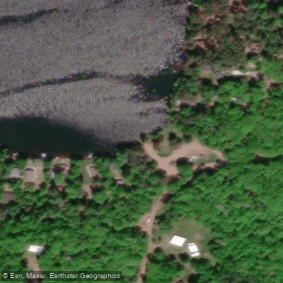
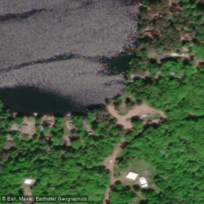
Learn how to get on Shag Lake. Uncover great paddling access points, boat ramps, and all the facilities you need for an unforgettable day on the water. Some locations shown may border or include private property. Always check property boundaries and applicable regulations before visiting. PaddleWays's Public & Private Land layer can help you plan your access with confidence.
Paddle smarter with real-time insights
Whether you're en route and conditions shift or you're looking for the best spot based on current flows, we enable you to make informed decisions on the fly.








Find Places to Paddle

Over 400,000 Places to Paddle
Every user gets free access to launch points, boat ramps, and public property parcels.


Water and weather conditions (10 day forecast)
See the best times to paddle Shag Lake and check the forecast before you go.
No forecast data available.
Paddling near Shag Lake

Lake Superior

Lake Michigan
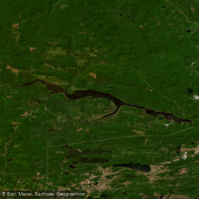
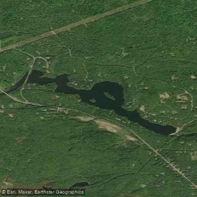
Dead River Storage Basin
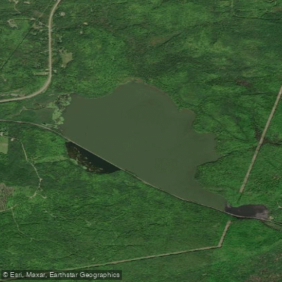
McClure Storage Basin
Goose Lake
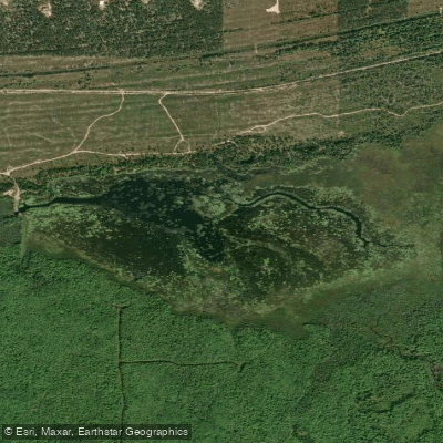
Boney Falls Basin
Lake LeVasseur
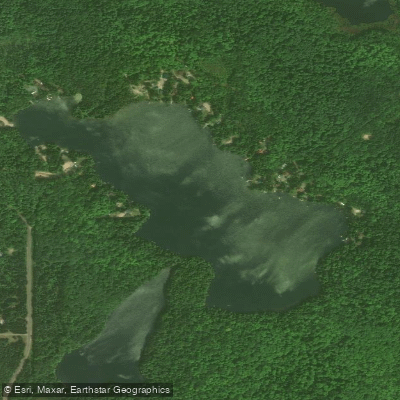
Sporley Lake
James D Jeske Flooding
Explore Michigan waters
Top paddling waters
Popular Cities
Loading popular cities...
Explore near Shag Lake
Access points
Nearby waters
More in Michigan

Smarter Paddling Starts in the App.
Paddleways gives you everything you need to plan smarter, paddle better, and own every trip from first launch to takeout.