James D Jeske Flooding
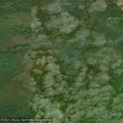
James D Jeske Flooding
- Boat Ramps
- 2
- Access Points
- 2
- Campsites
- 0
James D. Jeske Flooding, located in Marquette County, Michigan, provides public boat access through a concrete boat ramp with no dock near Sand River Road. The site serves as both a fishing destination and hunting location, particularly for waterfowl.
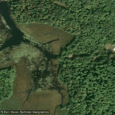
The site has a basic parking area that can accommodate five vehicles with trailers near the launch ramp. For those seeking primitive paddling experiences, the flooding connects to LeVasseur Creek. Both shoreline and on-water fishing opportunities are available.
From an accessibility standpoint, while the concrete launch ramp and hard surface parking area could be considered ADA-accessible across the grass parking area, other facilities and amenities are limited. The North Country Trail can be accessed both east and west from the parking area, providing opportunities to combine paddling with hiking.
Notably, since this is a flooding area rather than a natural lake, water levels can fluctuate significantly. In 2012 and 2018, the lake was drawn down for habitat management purposes.
Access: The site can be reached via Sand River Road, approximately 11 miles from the US-41/M-28 intersection. A two-track dirt road leads .3 miles from Sand River Road to the launch area.
Available Facilities: - Concrete boat launch ramp (no dock) - Parking for 5 vehicles with trailers - North Country Trail access
The flooding area sits just south of the mouth of the Sand River and Lake Superior, encompassing more than 700 acres of land. The surrounding area features typical Upper Peninsula natural habitat that supports both waterfowl and fish populations.
Water access, boat ramps & amenities
Learn how to get on James D Jeske Flooding. Uncover great paddling access points, boat ramps, and all the facilities you need for an unforgettable day on the water. Some locations shown may border or include private property. Always check property boundaries and applicable regulations before visiting. PaddleWays's Public & Private Land layer can help you plan your access with confidence.
Paddle smarter with real-time insights
Whether you're en route and conditions shift or you're looking for the best spot based on current flows, we enable you to make informed decisions on the fly.








Find Places to Paddle

Over 400,000 Places to Paddle
Every user gets free access to launch points, boat ramps, and public property parcels.


Water and weather conditions (10 day forecast)
See the best times to paddle James D Jeske Flooding and check the forecast before you go.
No forecast data available.
Paddling near James D Jeske Flooding

Lake Superior

Lake Michigan
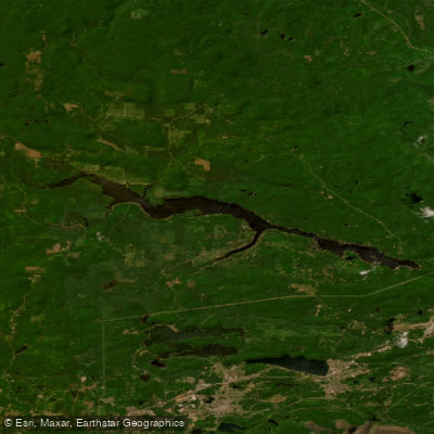
Dead River Storage Basin
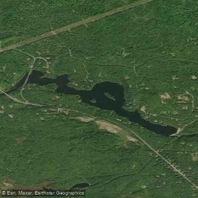
McClure Storage Basin
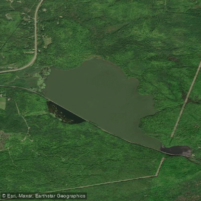
Goose Lake
Boney Falls Basin
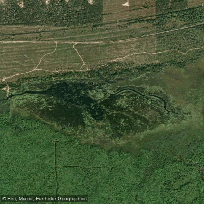
Lake LeVasseur
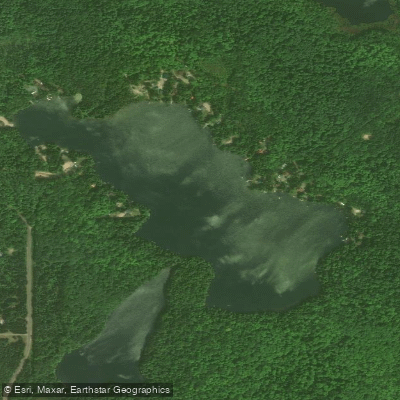
Sporley Lake
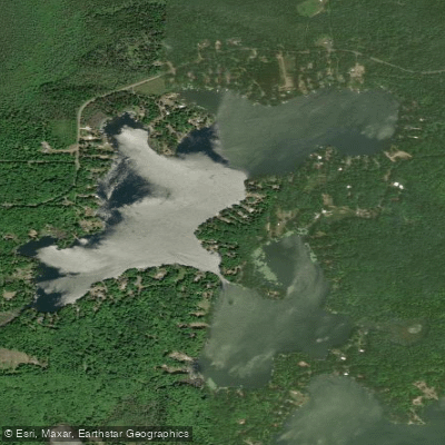
Shag Lake
Explore Michigan waters
Top paddling waters
Popular Cities
Loading popular cities...
Explore near James D Jeske Flooding
Access points
Nearby waters
More in Michigan

Smarter Paddling Starts in the App.
Paddleways gives you everything you need to plan smarter, paddle better, and own every trip from first launch to takeout.