Fourmile Lake
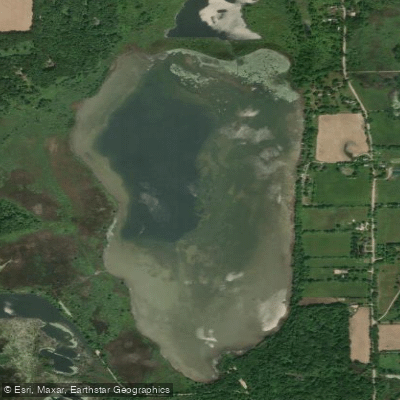
Fourmile Lake
- Boat Ramps
- 2
- Access Points
- 2
- Campsites
- 4
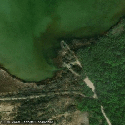
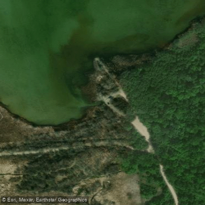
Fourmile Lake is a 256-acre waterbody located in the Chelsea State Game Area of Michigan, approximately one mile north and two miles east of Chelsea. The lake features a small gravel boat launch on its south end, suitable for small watercraft and paddlers. The lake is characterized by shallow water, with over 75% of its surface area less than 5 feet deep and a maximum depth of 18 feet.
The shoreline is largely undeveloped, with only about 10 seasonal and year-round homes on the east side. The remainder of the shoreline is low and marshy, surrounded by state land. Recent reports indicate launching conditions have become increasingly challenging, with the lake becoming shallower even after heavy rains. The launch area is best suited for kayaks and small utility boats.
Abundant aquatic vegetation includes coontail and broad-leaf pond weed as the dominant species, with Eurasian milfoil, bulrush, and pond lily also present. Cattails are prominent along the southern and western shores. This vegetation, combined with the shallow depth, can affect paddling conditions throughout the lake.
The lake has historical significance as a former marl mining site, with several "marl pits" located just south and west of the main lake. A cement plant once operated on the south end. These adjacent ponds cover approximately 60 acres and are accessible by trails.
Wildlife observers may spot waterfowl, particularly in fall when hunting blinds dot the shoreline. The lake experiences seasonal water level fluctuations, managed by a water control structure that maintains a legal lake level of 887.0 feet above sea level.
The lake's gradually sloping bottom and extensive shallow areas make it particularly susceptible to wind effects, an important consideration for paddlers planning trips.
Water access, boat ramps & amenities
Learn how to get on Fourmile Lake. Uncover great paddling access points, boat ramps, and all the facilities you need for an unforgettable day on the water. Some locations shown may border or include private property. Always check property boundaries and applicable regulations before visiting. PaddleWays's Public & Private Land layer can help you plan your access with confidence.
Paddle smarter with real-time insights
Whether you're en route and conditions shift or you're looking for the best spot based on current flows, we enable you to make informed decisions on the fly.








Find Places to Paddle

Over 400,000 Places to Paddle
Every user gets free access to launch points, boat ramps, and public property parcels.


Water and weather conditions (10 day forecast)
See the best times to paddle Fourmile Lake and check the forecast before you go.
No forecast data available.
Paddling near Fourmile Lake
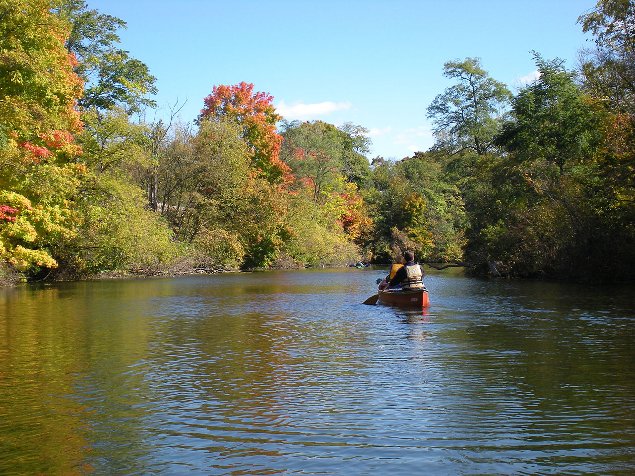
Huron River

Lake Erie
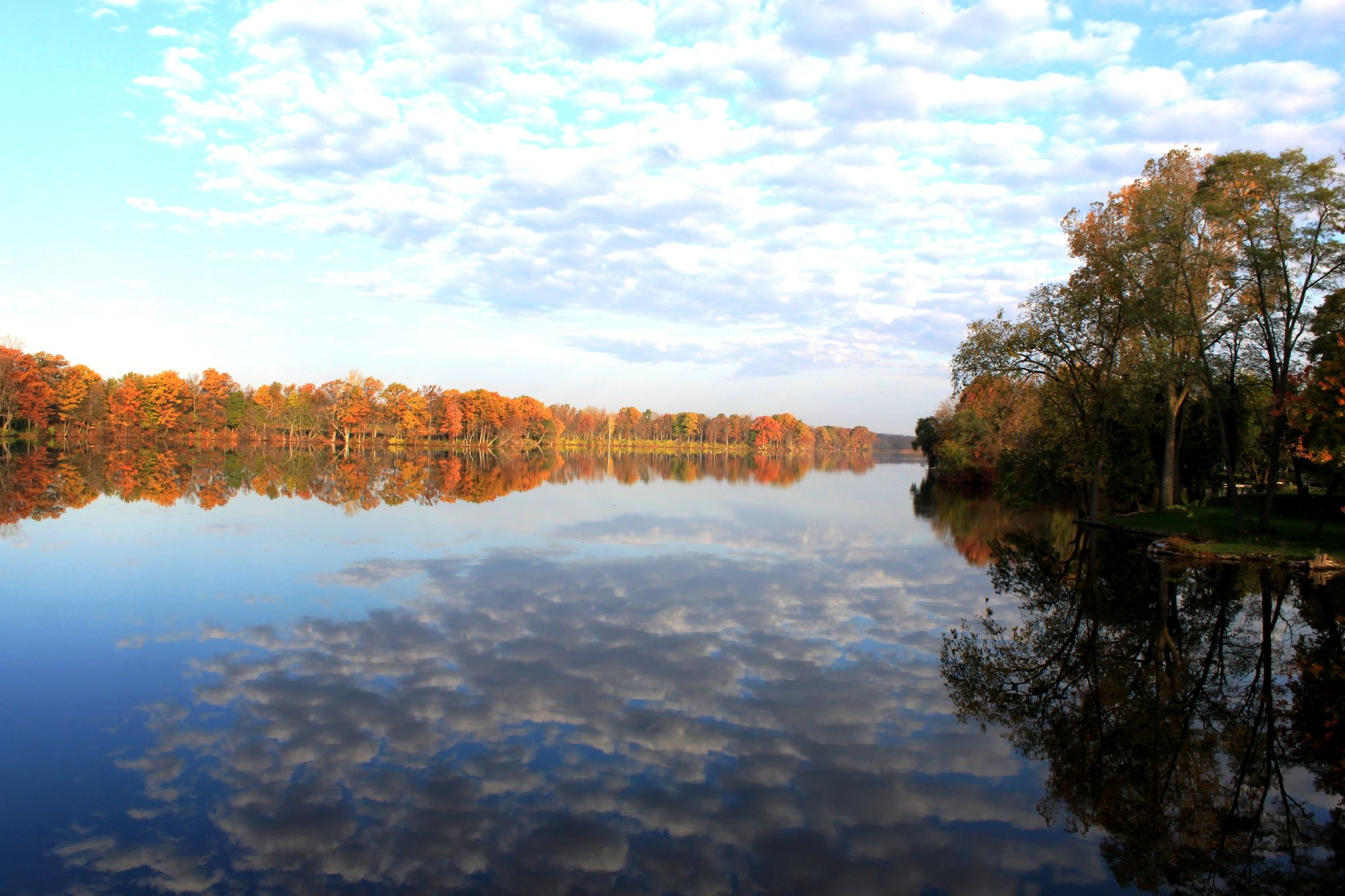
River Raisin
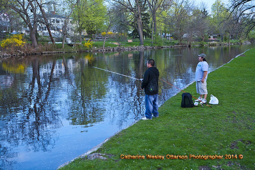
Grand River
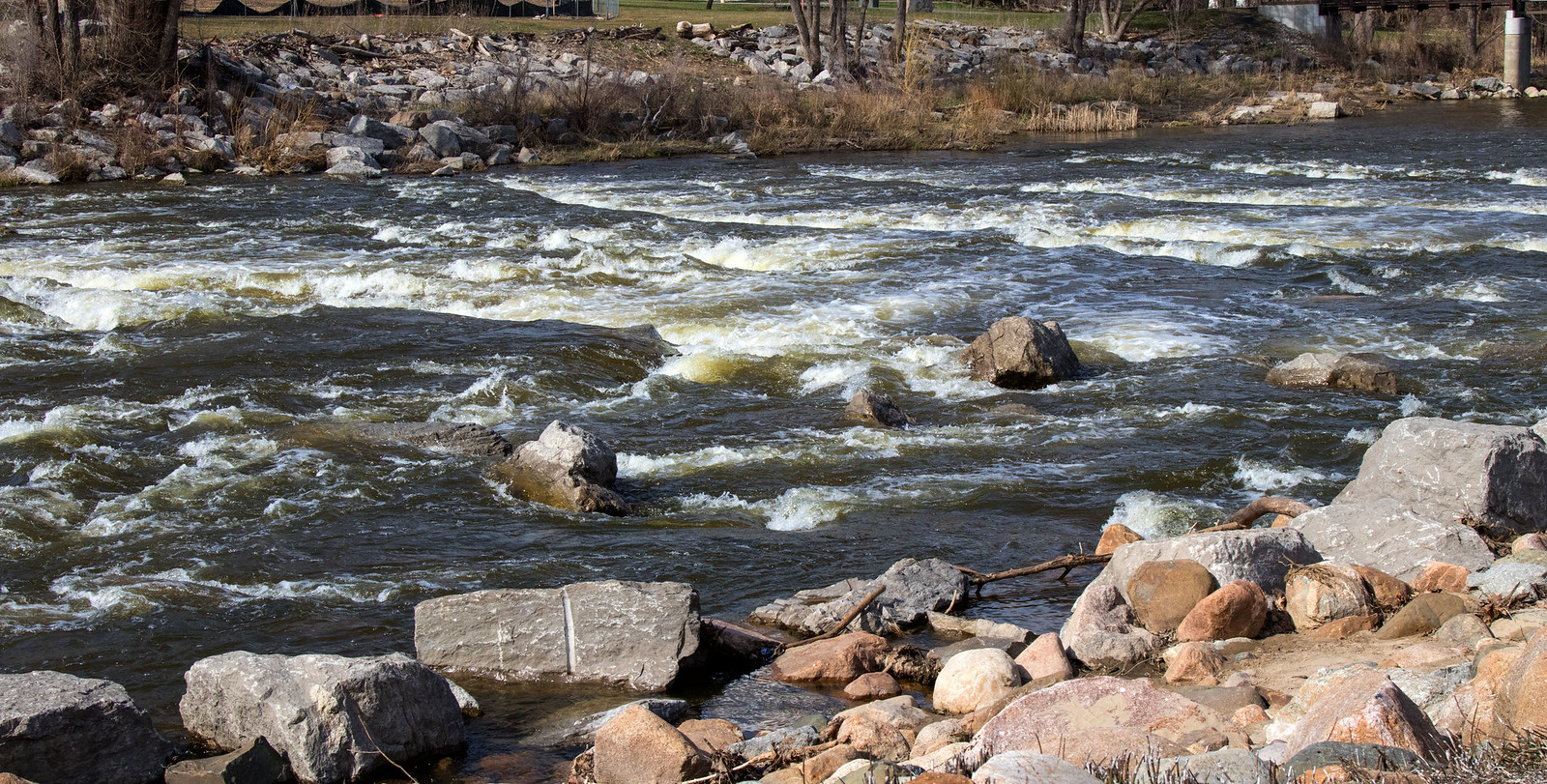
Shiawassee River
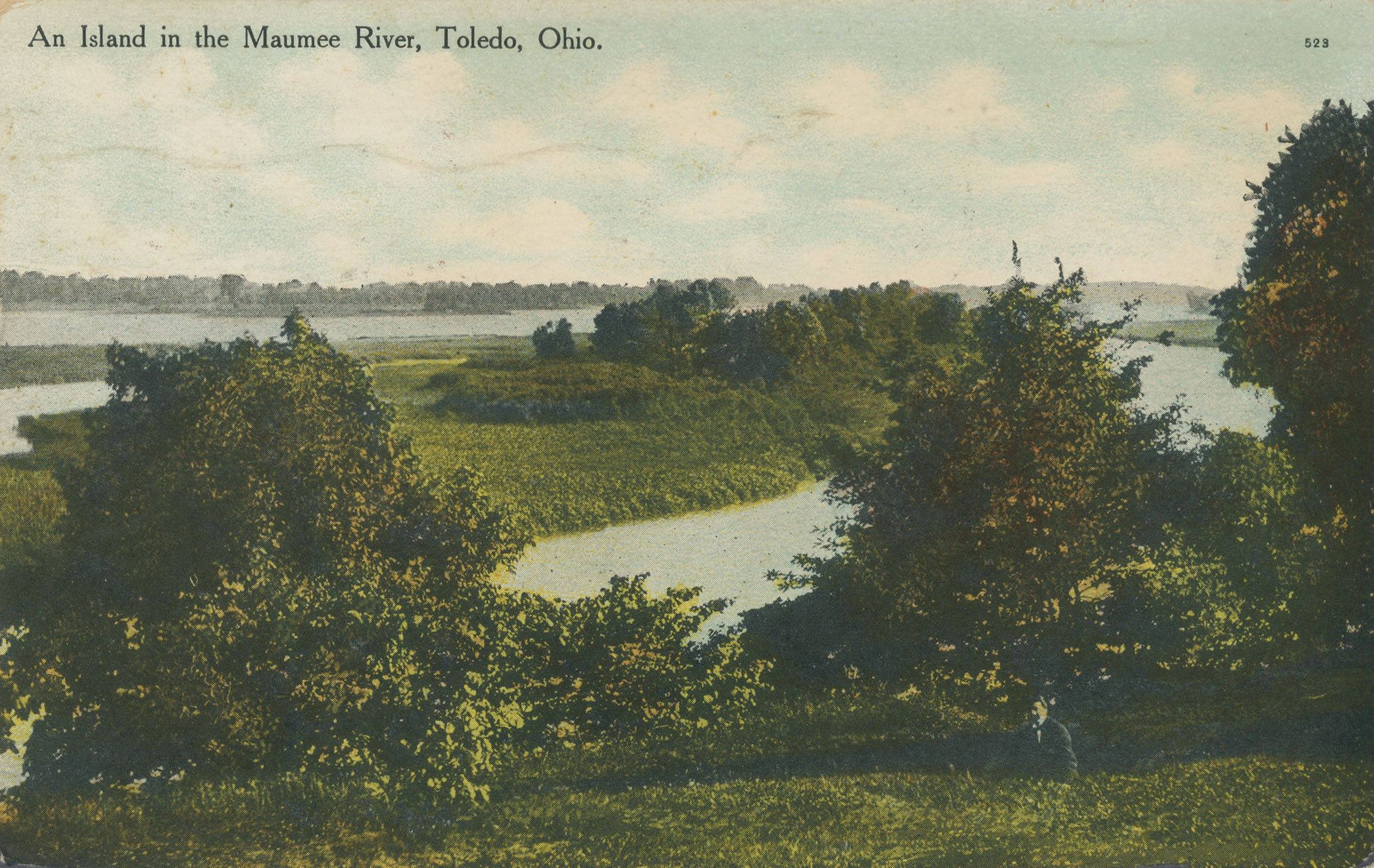
Maumee River
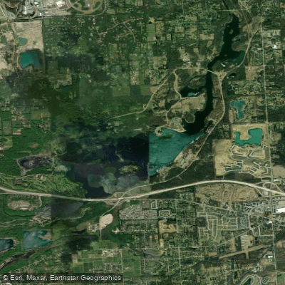
Kent Lake
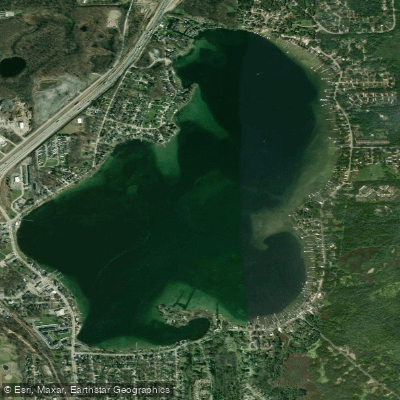
Whitmore Lake
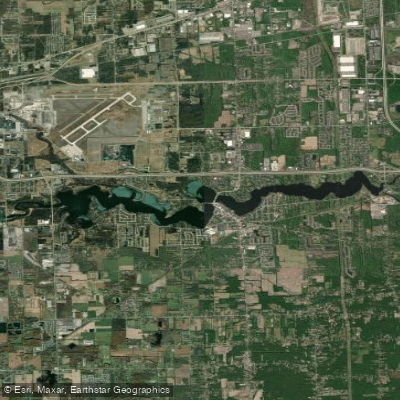
Belleville Lake
Explore Michigan waters
Top paddling waters
Popular Cities
Loading popular cities...
Explore near Fourmile Lake
Access points
Nearby waters
More in Michigan

Smarter Paddling Starts in the App.
Paddleways gives you everything you need to plan smarter, paddle better, and own every trip from first launch to takeout.