Whitmore Lake
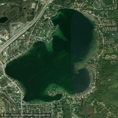
Whitmore Lake
- Boat Ramps
- 2
- Access Points
- 3
- Campsites
- 3
Whitmore Lake is a 667-acre all-sports lake straddling the border between Livingston County (Green Oak Township) and Washtenaw County (Northfield Township) in southeastern Michigan. Located approximately 10-12 miles from both Brighton and Ann Arbor, this popular paddling destination offers clear blue water with a maximum depth just under 70 feet.
The lake features public access via a DNR boat launch on North Shore Road in Green Oak Township, managed under the Island Lake Recreation Area. A Michigan Recreation Passport is required for use of the parking area and launch facility. The launch provides convenient access for kayakers and canoeists, though the lake can get busy during summer months with motorized watercraft including water-skiers, wakeboarders, and pontoon boats.
Paddlers will find Whitmore Lake connects to the broader Huron River Chain of Lakes system via the Huron River, which flows through the area. This connection allows for extended paddling trips linking multiple water bodies, from Strawberry Lake through the chain. The lake's relatively modest size makes it manageable for a few hours of exploration, with shoreline development interspersed with natural areas that provide habitat for great blue herons, otters, and osprey.
The water is generally clear with some weed growth in shallower areas, particularly along the edges. Fishing is popular here, with anglers targeting bluegill, sunfish, largemouth and smallmouth bass, perch, crappie, and northern pike. Note that PFAS advisories are in effect for the Huron River system, including this lake—"Do Not Eat Fish" and "Avoid Foam" guidance should be followed.
The lake's vibe is family-friendly and recreational, with a small downtown area along the southwest shore offering convenience stores, restaurants, and services. Early morning or late afternoon paddles provide the calmest conditions and best opportunities for wildlife viewing, while midday summer hours bring increased boat traffic and wave action from larger craft.
Water access, boat ramps & amenities
Learn how to get on Whitmore Lake. Uncover great paddling access points, boat ramps, and all the facilities you need for an unforgettable day on the water. Some locations shown may border or include private property. Always check property boundaries and applicable regulations before visiting. PaddleWays's Public & Private Land layer can help you plan your access with confidence.
Paddle smarter with real-time insights
Whether you're en route and conditions shift or you're looking for the best spot based on current flows, we enable you to make informed decisions on the fly.








Find Places to Paddle

Over 400,000 Places to Paddle
Every user gets free access to launch points, boat ramps, and public property parcels.


Water and weather conditions (10 day forecast)
See the best times to paddle Whitmore Lake and check the forecast before you go.
No forecast data available.
Paddling near Whitmore Lake
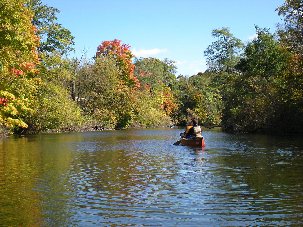
Huron River

Lake Erie
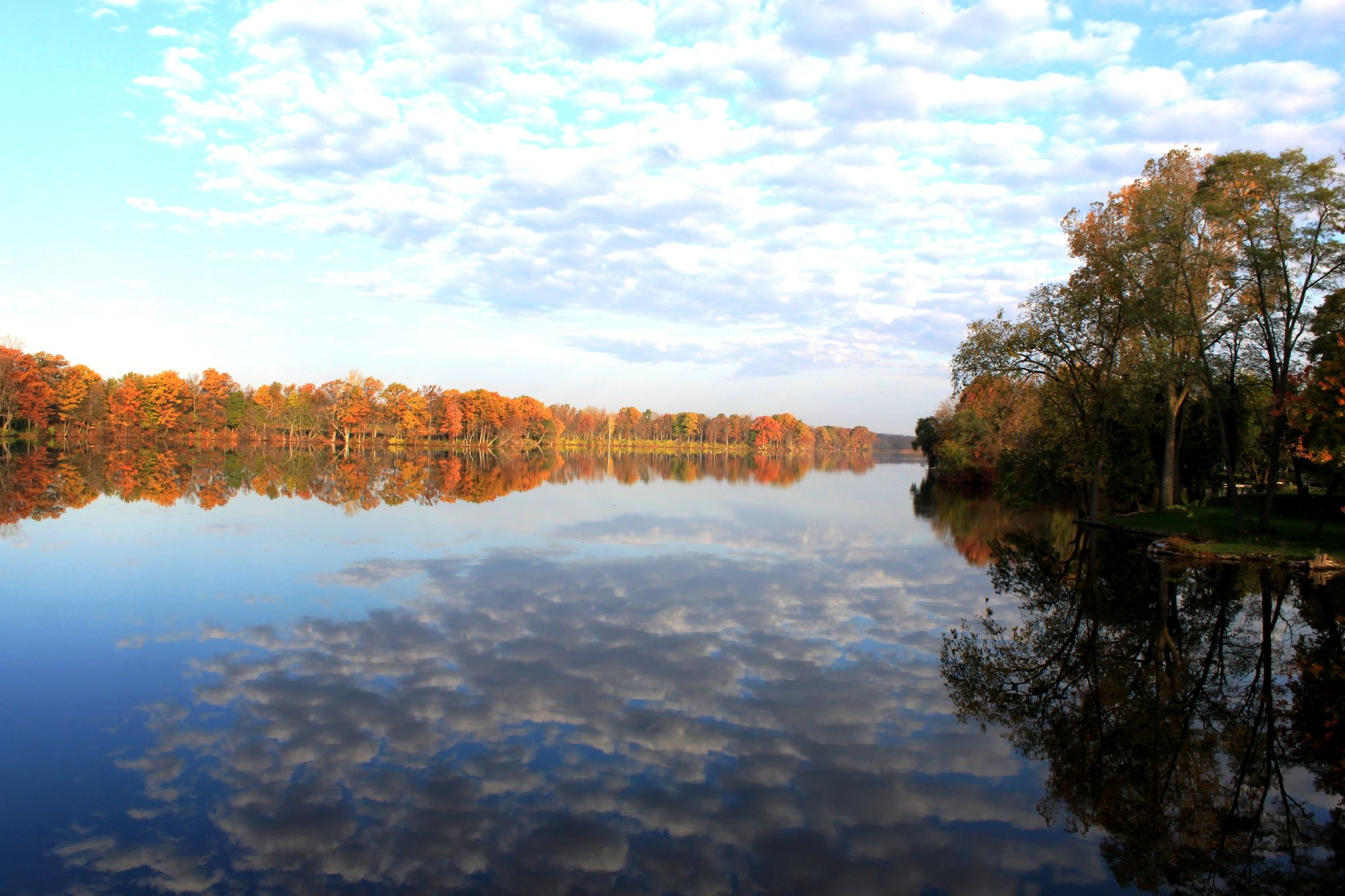
River Raisin
Grand River
Shiawassee River
Maumee River
Kent Lake
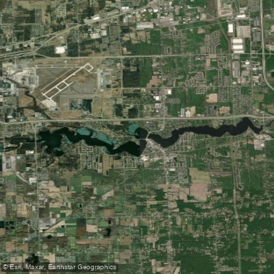
Belleville Lake
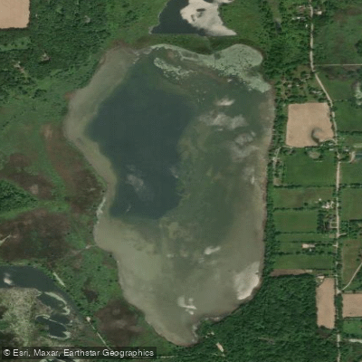
Fourmile Lake
Explore Michigan waters
Top paddling waters
Popular Cities
Loading popular cities...
Explore near Whitmore Lake
Access points
Nearby waters
More in Michigan

Smarter Paddling Starts in the App.
Paddleways gives you everything you need to plan smarter, paddle better, and own every trip from first launch to takeout.