Curated by PaddleWays
RouteClass I–III
- Distance
- 26.6 mi
- Paddle time
- 8 hrs
- Best for
- Intermediate paddlers, experienced paddlers
- Put-in → take-out
- Ewen Boat Ramp → Victoria Dam Access
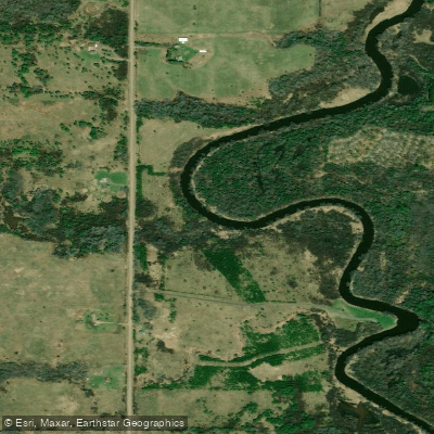
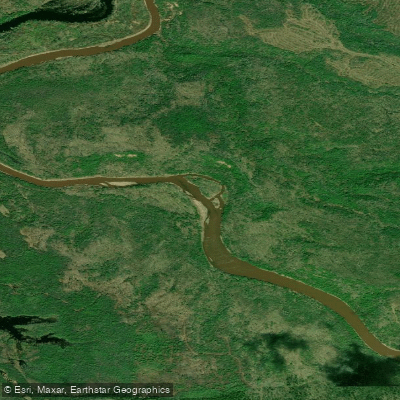
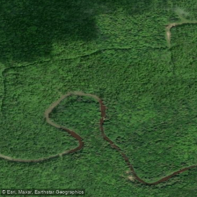
The South Branch Ontonagon River originates in the Ottawa National Forest of Michigan's Upper Peninsula, flowing northward to join the main stem of the Ontonagon River before emptying into Lake Superior. This 42-mile long waterway forms a critical part of the Ontonagon River system, which also includes the West, Middle, and East Branches.
Paddlers will find a range of experiences on the South Branch, from placid stretches to challenging whitewater. The upper reaches offer mostly Class I-II rapids suitable for intermediate paddlers, while the lower sections feature more intense Class III rapids that demand advanced skills. A highlight is the challenging mile-long stretch below Victoria Dam, where paddlers navigate a series of rapids through a steep-sided river valley.
The river's flow is heavily influenced by seasonal patterns and dam releases. Spring snowmelt typically provides the highest and most reliable water levels, though summer thunderstorms can cause rapid fluctuations. Paddlers should check flow rates and dam release schedules before embarking, especially for the sections below Victoria Dam.
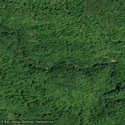
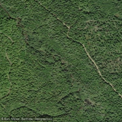
The South Branch corridor supports a rich ecosystem, with old-growth hemlock and pine forests lining its banks. Wildlife sightings may include black bears, white-tailed deer, river otters, and bald eagles. The river is also renowned for its trout fishing, with some segments designated as Blue Ribbon Trout Streams.
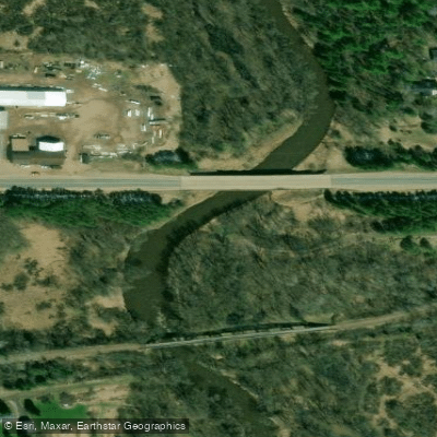
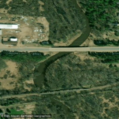
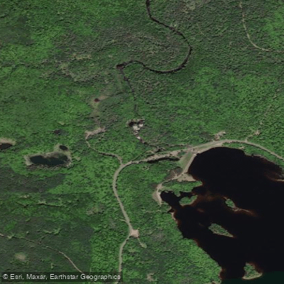
Key landmarks include the historic Victoria Dam, built in 1931, and the picturesque Agate Falls. The river passes through remote, largely undeveloped terrain, offering paddlers a wilderness experience. Access points are limited, with put-ins available near Ewen and takeouts near Victoria Dam and Rockland.
The South Branch holds cultural significance for the Ojibwe people and played a role in the region's copper mining history. The famous Ontonagon Boulder, a massive piece of native copper now housed in the Smithsonian, was discovered near the river's confluence with the West Branch.
Safety considerations include cold water temperatures year-round and the potential for strainers in wooded sections. Paddlers should be prepared for remote conditions with limited cell service. Some sections require portaging around dams or dangerous rapids.
For those seeking a multi-day adventure, a 20-mile trip from Ewen to Victoria Dam offers a full day of paddling through the heart of the Ottawa National Forest, with primitive camping available along the shore. This Wild and Scenic River segment showcases the South Branch's natural beauty and provides a quintessential Upper Peninsula paddling experience.
Curated routes
Hand-picked by the PaddleWays team, with put-ins, take-outs, paddle times and the hazards along the way.
RouteClass I–III
Hazards
No hazards are marked on South Branch Ontonagon River yet. That is not the same as none being there: if you find one, report it for the next paddler.
From the community
Nobody has shared a trip on South Branch Ontonagon River yet. Paddle it, then tell the next paddler how it went.
See exactly where the public can get on and off the river. Launch points and boat ramps are paired with PaddleWays' public land data so you know where you can legally land.
Public shoreline
74%of the river's shoreline is public
Flows, weather and a route-by-route verdict, so you know which stretch of the South Branch Ontonagon River is worth paddling today.
No forecast data available.
Live flows, marked hazards and fresh trip reports from paddlers who were just on the water, all in one place.





Every user gets free access to launch points, boat ramps, and public property parcels.
Loading popular cities...
PaddleWays gives you everything you need to plan smarter, paddle better, and own every trip from first launch to takeout.