Crane Lake
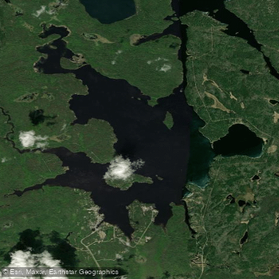
Crane Lake
- Boat Ramps
- 3
- Access Points
- 3
- Campsites
- 11
Crane Lake is a 2,920-acre lake located in St. Louis County, Minnesota, 28 miles northeast of Orr. The lake serves as a popular entry point for both Voyageurs National Park and the Boundary Waters Canoe Area, making it a significant gateway for paddlers exploring northern Minnesota's wilderness waterways.
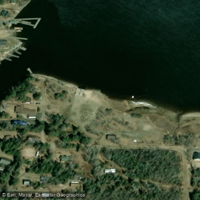
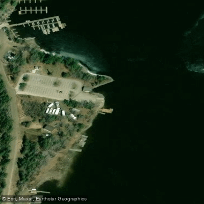
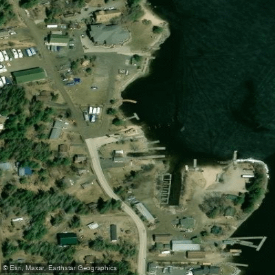
The lake features two concrete boat access points on the south side: a state-owned public access and a county-owned access at the Voyageurs National Park Ranger Station on the west shore. With a maximum depth of 80 feet, average water clarity of 8.5 feet, and 34.04 miles of shoreline, Crane Lake offers substantial paddling opportunities across varied terrain.
Crane Lake is part of the Namakan Reservoir system, which includes Sand Point, Namakan, Kabetogama, and Little Vermilion lakes. Water flows into the lake from the Vermilion River at the south end and exits through King Williams Narrows at the north, continuing into Sand Point Lake and eventually the broader Voyageurs waterway system.
The lake's character reflects its wilderness setting, with granite cliffs, evergreen-lined shores, and numerous islands creating a diverse paddling environment. As part of Voyageurs National Park's water system, motorized boats are permitted, though paddlers can find quieter experiences by exploring the lake's numerous bays and inlets.
The area supports diverse wildlife including bald eagles, loons, moose, black bears, and wolves. Multiple fish species inhabit the waters, including walleye, northern pike, smallmouth bass, and sauger, making the lake popular with anglers as well as paddlers.
The community of Crane Lake, Minnesota, is located on the southwest end of the lake, providing access to local services and amenities. The lake's position within the broader Voyageurs ecosystem offers paddlers opportunities for extended trips into the park's interior or connections to the Boundary Waters system for more adventurous expeditions.
Water access, boat ramps & amenities
Learn how to get on Crane Lake. Uncover great paddling access points, boat ramps, and all the facilities you need for an unforgettable day on the water. Some locations shown may border or include private property. Always check property boundaries and applicable regulations before visiting. PaddleWays's Public & Private Land layer can help you plan your access with confidence.
Paddle smarter with real-time insights
Whether you're en route and conditions shift or you're looking for the best spot based on current flows, we enable you to make informed decisions on the fly.








Find Places to Paddle

Over 400,000 Places to Paddle
Every user gets free access to launch points, boat ramps, and public property parcels.


Water and weather conditions (10 day forecast)
See the best times to paddle Crane Lake and check the forecast before you go.
CRANE LAKE AT CRANE LAKE, MN
Paddling near Crane Lake
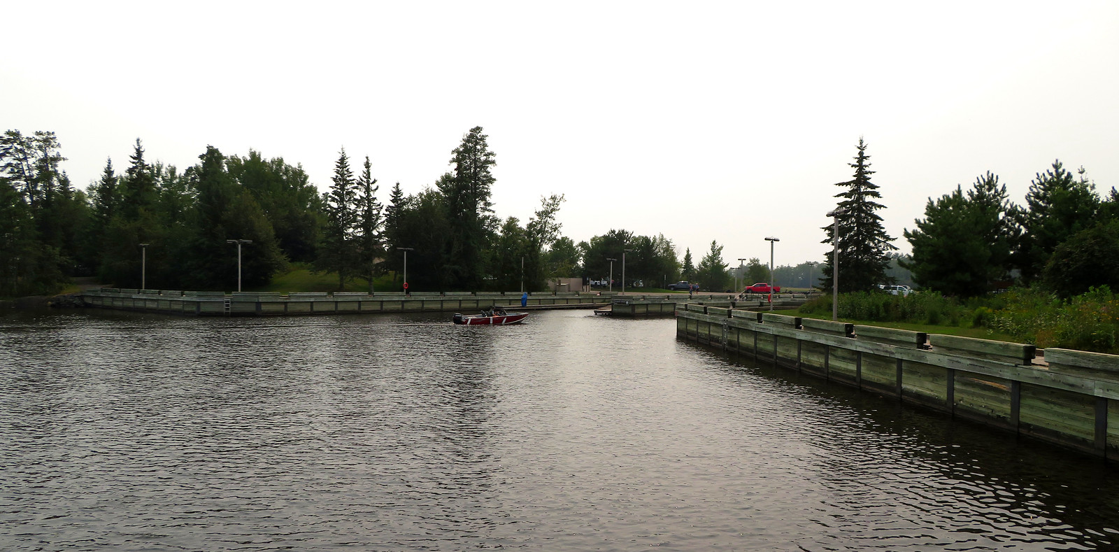
Rainy Lake
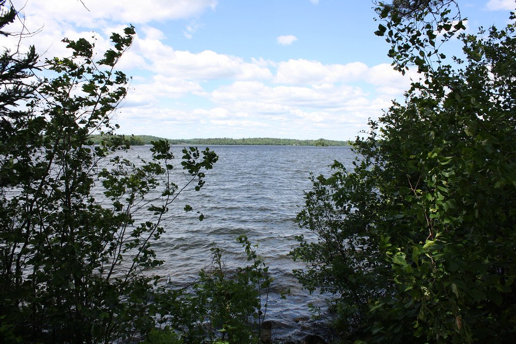
Vermilion Lake
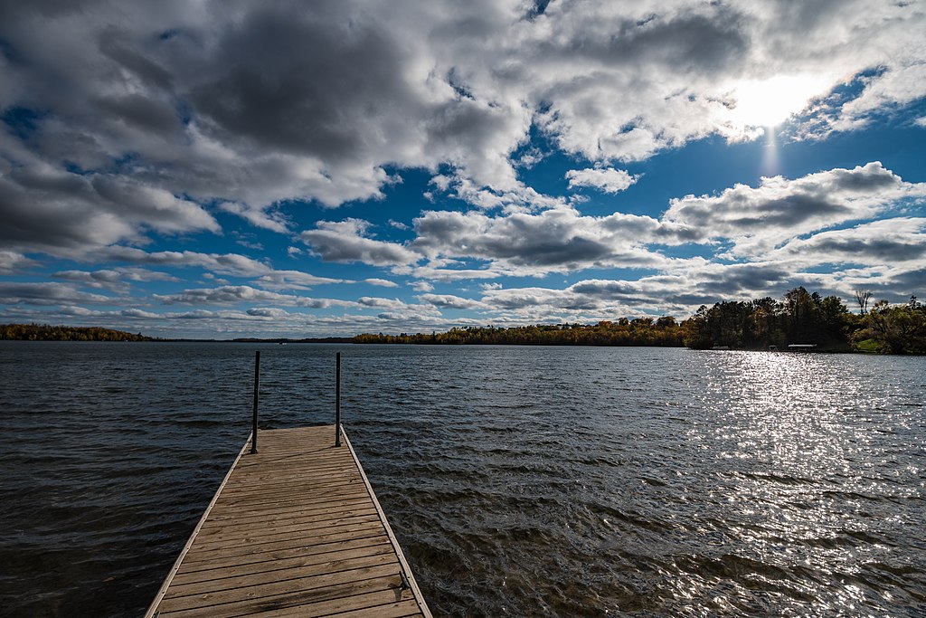
Trout Lake
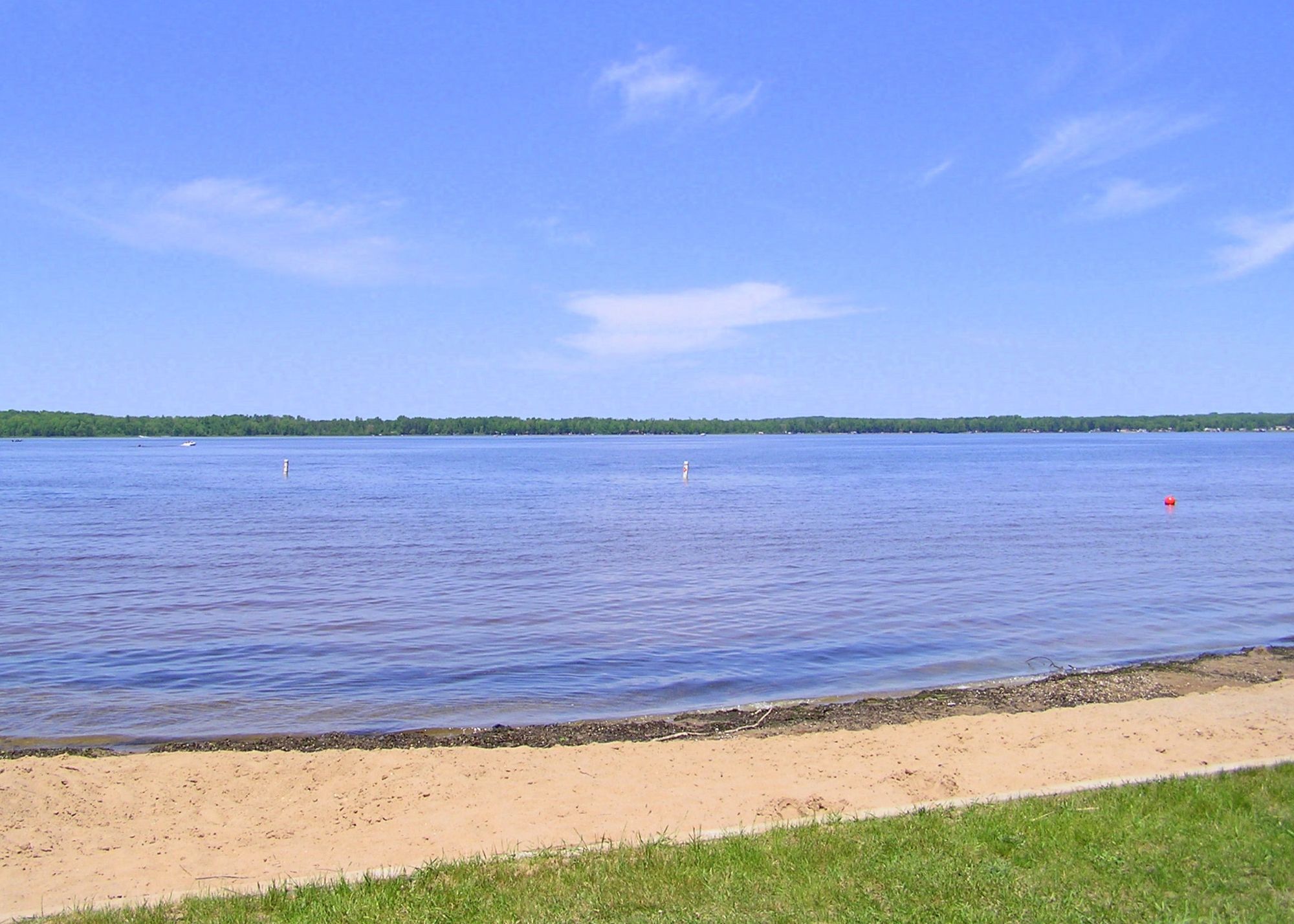
Loon Lake
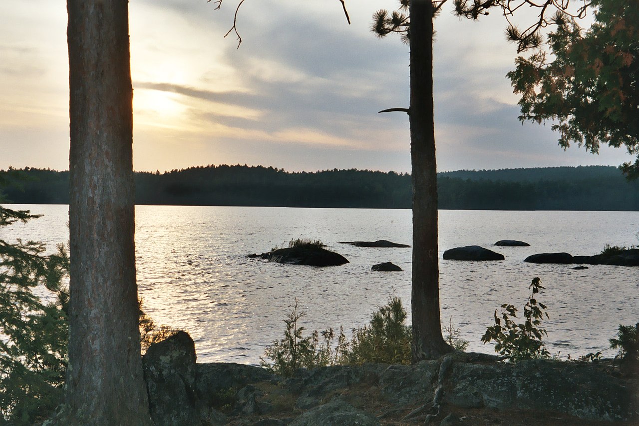
Burntside Lake
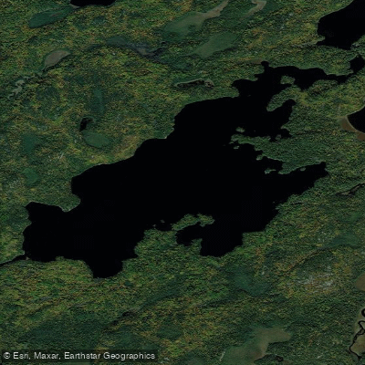
Lake Agnes
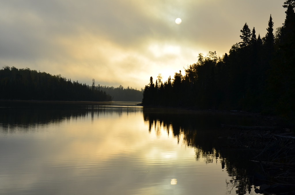
Birch Lake
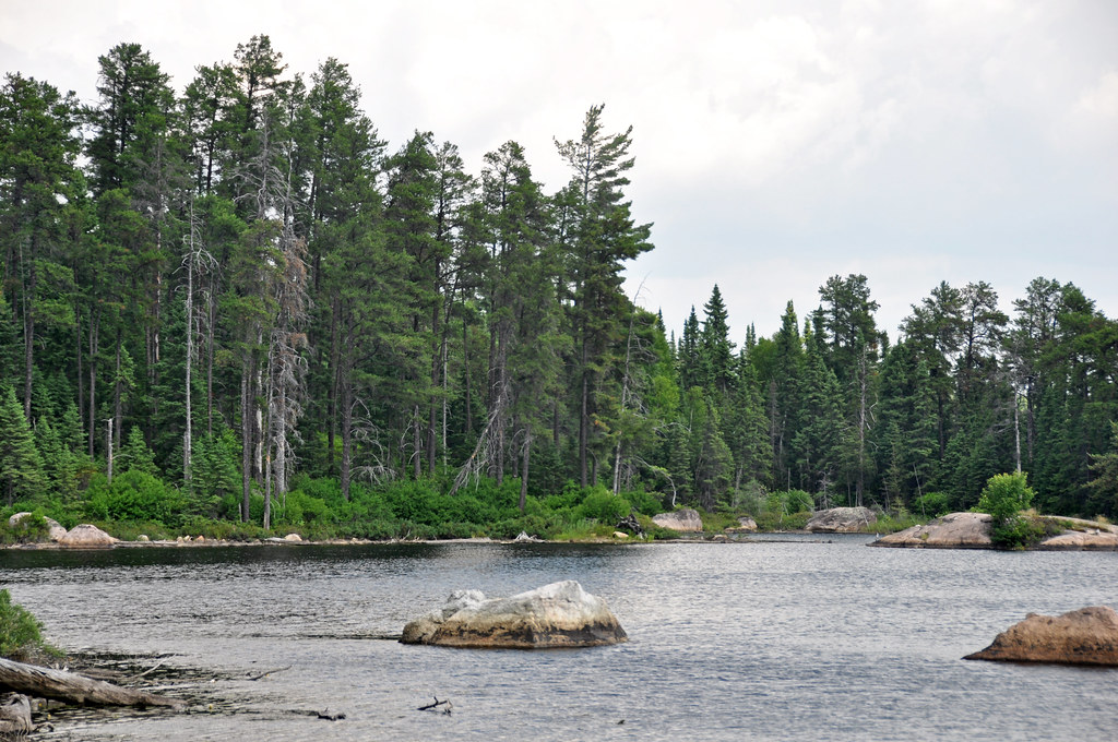
Crab Lake
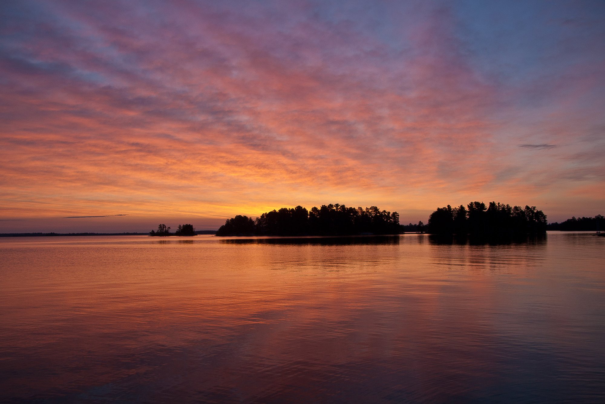
Rainy Lake
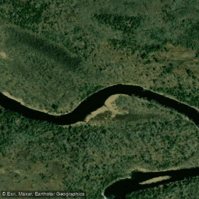
Vermilion River
Explore Minnesota waters
Top paddling waters
Popular Cities
Loading popular cities...
Explore near Crane Lake
Access points
Nearby waters
More in Minnesota

Smarter Paddling Starts in the App.
Paddleways gives you everything you need to plan smarter, paddle better, and own every trip from first launch to takeout.