Curated by PaddleWays
RouteClass II
- Distance
- 6.5 mi
- Paddle time
- ~2 hrs
- Put-in → take-out
- Twnp25 Access → County Road 3 Access
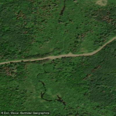
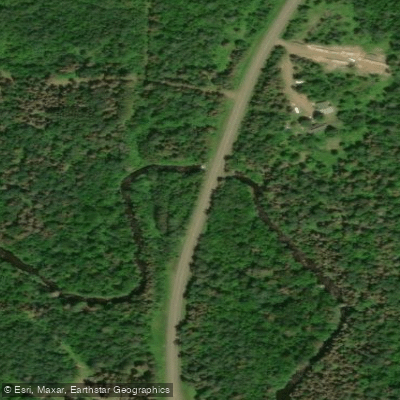
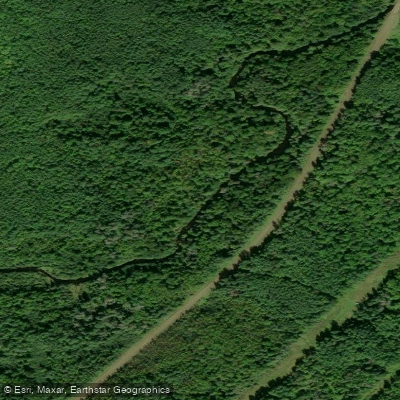
The Gooseberry River is a scenic waterway located on Minnesota's North Shore of Lake Superior. Originating in the forested highlands northwest of Two Harbors, the river flows approximately 23 miles southeast before dramatically cascading into Lake Superior at Gooseberry Falls State Park. Known for its series of spectacular waterfalls near its mouth, the Gooseberry offers paddlers an exciting mix of whitewater and flatwater sections.
The most popular paddling run is the 6-mile stretch from County Road 3 to Gooseberry Falls State Park, featuring Class II-III rapids suitable for intermediate whitewater kayakers and rafters. Upstream, a 5.9-mile section from Township 25 to County Road 3 provides additional paddling opportunities through scenic terrain with steep bluffs. The river's difficulty ranges from flatwater to Class III rapids, with some Class IV drops possible during high water. Paddlers should have solid whitewater skills and be comfortable with swift water rescue techniques.
Spring runoff typically provides the best water levels for whitewater enthusiasts, while summer offers more moderate flows suitable for a wider range of skill levels.
The Gooseberry's watershed supports a diverse ecosystem of boreal and northern hardwood forests. Wildlife such as moose, black bears, and timber wolves inhabit the surrounding area. The river itself is home to brook trout and other cold-water species.
Gooseberry Falls State Park, at the river's terminus, is the crown jewel of the Gooseberry River. Here, visitors can witness the river's spectacular series of waterfalls, including the 30-foot Upper Falls, 10-foot Middle Falls, and 60-foot Lower Falls. The park offers excellent hiking trails, scenic overlooks, and interpretive programs highlighting the area's natural and cultural history.
Primary access points include put-ins near County Road 3 and take-outs at Gooseberry Falls State Park. The nearby town of Two Harbors serves as a convenient base for paddlers, offering amenities and outfitters.
Historically, the river and surrounding area were important to the Ojibwe people. Later, it played a role in the region's logging industry. Today, the Gooseberry River is a cherished recreational resource, attracting paddlers, hikers, and nature enthusiasts from across the Midwest.
Paddlers should be aware of rapidly changing water levels, especially after heavy rains. Cold water temperatures necessitate proper gear, including wetsuits or drysuits in most seasons. All visitors should respect park regulations and practice Leave No Trace principles to help preserve this beautiful North Shore gem.
Curated routes
Hand-picked by the PaddleWays team, with put-ins, take-outs, paddle times and the hazards along the way.
RouteClass II
RouteClass II–III
Hazards
No paddler has reported a hazard here yet, so these are the dams, falls and big rapids on our map. Hazards change with flows and storms, so check them before you launch.
From the community
Nobody has shared a trip on Gooseberry River yet. Paddle it, then tell the next paddler how it went.
See exactly where the public can get on and off the river. Launch points and boat ramps are paired with PaddleWays' public land data so you know where you can legally land.
Public shoreline
17%of the river's shoreline is public
Most of the riverbank is private. Launch, land and camp only at public access points.
Flows, weather and a route-by-route verdict, so you know which stretch of the Gooseberry River is worth paddling today.
No forecast data available.
Live flows, marked hazards and fresh trip reports from paddlers who were just on the water, all in one place.





Every user gets free access to launch points, boat ramps, and public property parcels.
Loading popular cities...
PaddleWays gives you everything you need to plan smarter, paddle better, and own every trip from first launch to takeout.