Indianhead Flowage
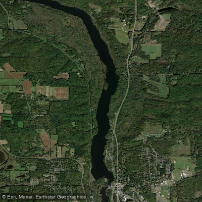
Indianhead Flowage
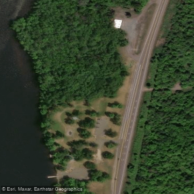
- Boat Ramps
- 2
- Access Points
- 3
- Campsites
- 7
The Indianhead Flowage is a 413-acre impoundment on the St. Croix River located in Polk County, Wisconsin. This lake-like section stretches for approximately 10 miles between Nevers Dam Landing and Highway 8, created by the hydroelectric dam at St. Croix Falls. The flowage reaches a maximum depth of 57 feet, with an average depth of 11 feet.
Due to its depth and lack of current, the flowage is commonly used by houseboats, fishing boats, and pontoons. The bottom composition consists of 40% sand, 30% muck, 20% gravel, and 10% rock. There is one public boat launch providing access to the water.
Paddlers should be aware of two aquatic invasive species present in the flowage: Eurasian Water-Milfoil and Yellow Iris. The wider, deeper nature of this section makes it distinctly different from the more riverine portions of the St. Croix River both upstream and downstream. Above the flowage, paddlers encounter riffles and sandbars, while below the dam requires a 1.3-mile portage through Taylors Falls to continue downstream.
The flowage is part of the St. Croix National Scenic Riverway, established in 1968 to preserve the river's natural character. Park rangers are available at the St. Croix River Visitor Center (at river mile S53.8) to provide trip planning information.
Fish species present include panfish, largemouth bass, smallmouth bass, northern pike, and walleye. The nearest communities are Taylors Falls, Minnesota, and St. Croix Falls, Wisconsin. Four state parks are located in the vicinity: Interstate State Park (both Wisconsin and Minnesota sides), Wild River State Park, and William O'Brien State Park.
For paddlers planning extended trips, it's important to note that camping regulations change at Highway 8, with permits required for camping south of this point. The flowage section itself serves as a transition zone between the more wild upper river and the developed lower river sections.
Water access, boat ramps & amenities
Learn how to get on Indianhead Flowage. Uncover great paddling access points, boat ramps, and all the facilities you need for an unforgettable day on the water. Some locations shown may border or include private property. Always check property boundaries and applicable regulations before visiting. PaddleWays's Public & Private Land layer can help you plan your access with confidence.
Paddle smarter with real-time insights
Whether you're en route and conditions shift or you're looking for the best spot based on current flows, we enable you to make informed decisions on the fly.








Find Places to Paddle

Over 400,000 Places to Paddle
Every user gets free access to launch points, boat ramps, and public property parcels.


Water and weather conditions (10 day forecast)
See the best times to paddle Indianhead Flowage and check the forecast before you go.
No forecast data available.
Paddling near Indianhead Flowage

Mississippi River
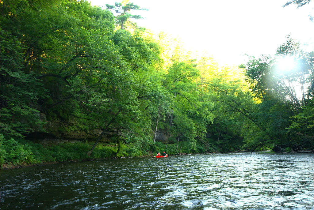
Apple River
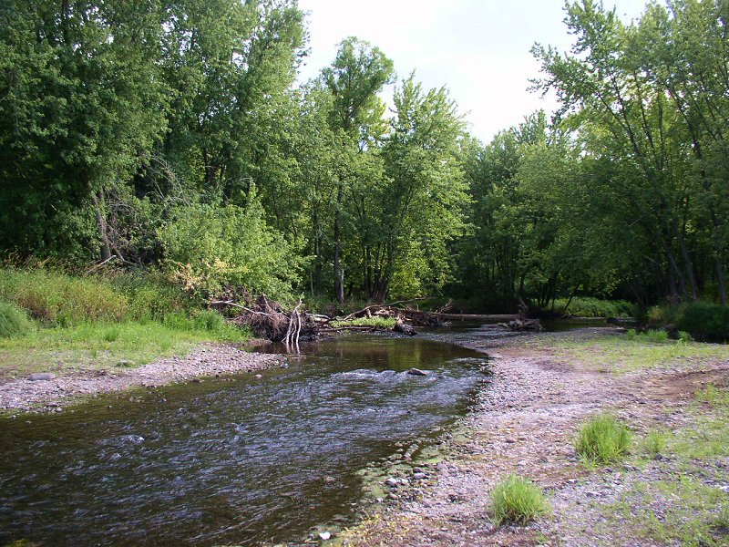
Sunrise River

Willow River
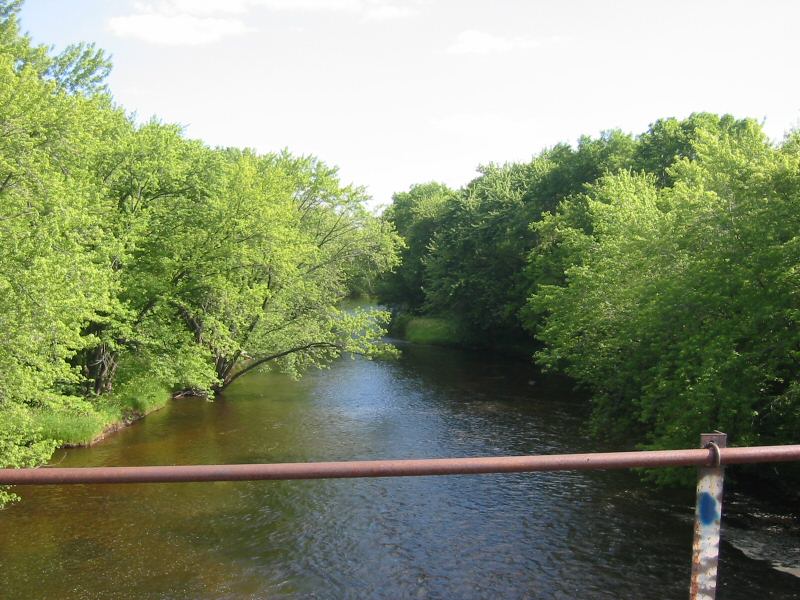
Rum River
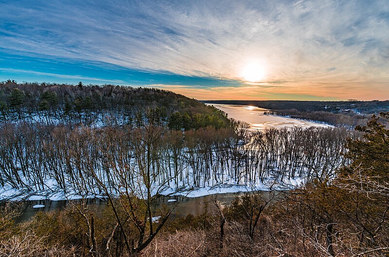
Kinnickinnic River
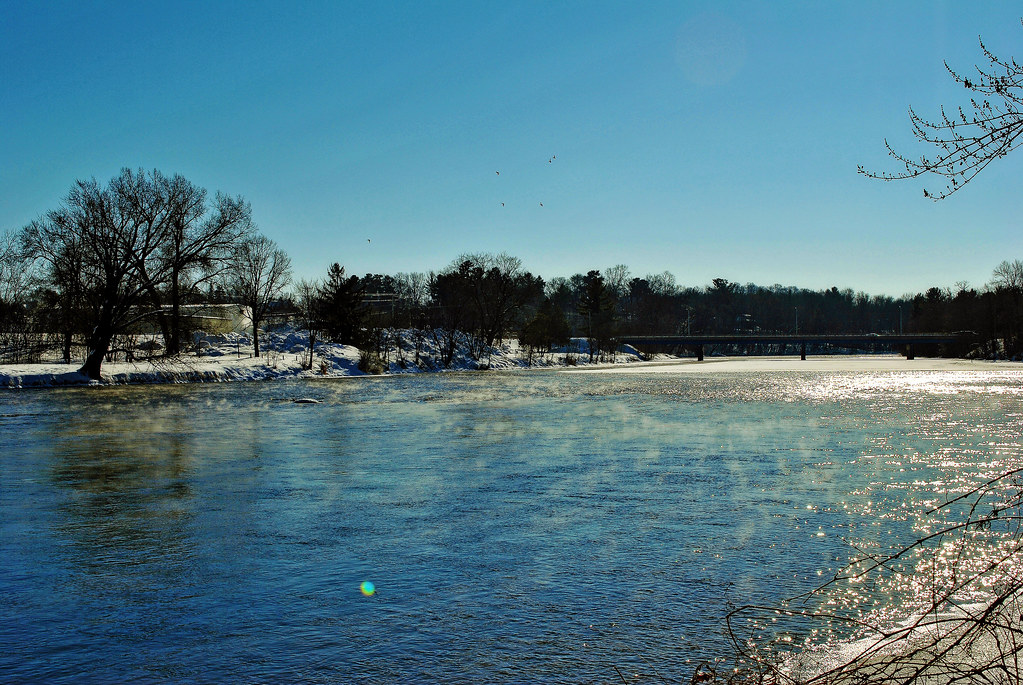
Red Cedar River
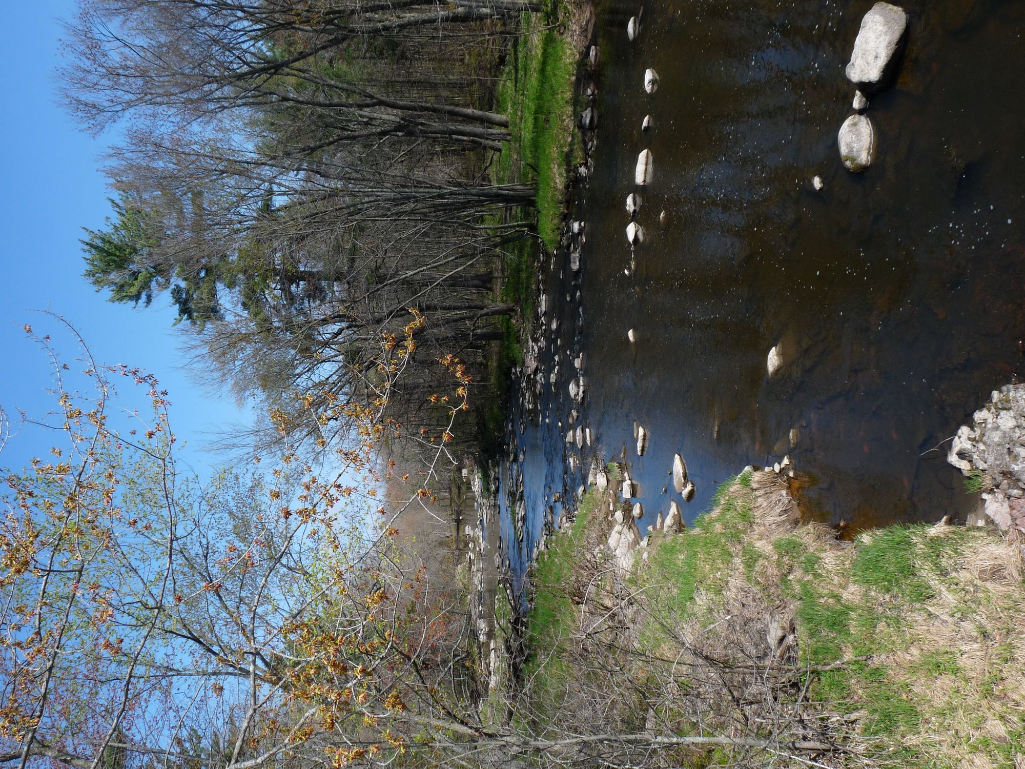
Yellow River
Vermillion River
Beaver Dam Lake
Explore Minnesota waters
Top paddling waters
Popular Cities
Loading popular cities...
Explore near Indianhead Flowage
Access points
- St. Croix River Boat Ramp
- Saint Croix River Boat Ramp
- Lions Park Access
- St Croix River Bridge
- Lawrence Creek Bridge
- Interstate Park Campground
- Interstate State Park Wi - North Campground
- Interstate Park Campground
- Interstate State Park Campground
- Interstate State Park - South Campground
- Interstate Park Campground
- Clover Bee Vegetable Farm Campground
Nearby waters
More in Minnesota

Smarter Paddling Starts in the App.
Paddleways gives you everything you need to plan smarter, paddle better, and own every trip from first launch to takeout.