Kettle River
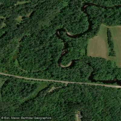
Kettle River
- Boat Ramps
- 5
- Access Points
- 8
- Campsites
- 15
The Kettle River originates in Carlton County near the town of Kettle River, flowing southward through pine-forested terrain and wetlands before entering Pine County. The river travels approximately 58 miles through these two counties before joining the St. Croix River in St. Croix State Park. Named "Akiko zibi" by the Ojibwe for the water-worn kettle-shaped rocks near its mouth, the river drops an average of 6.1 feet per mile, creating numerous rapids and riffles that define its character.
The most dramatic section lies within Banning State Park near Sandstone, where the river has carved a spectacular gorge through sandstone bedrock. Hell's Gate Rapids, the centerpiece of this stretch, features Class II-IV whitewater depending on water levels, with dangerous undercut walls and ledges that demand expert skills. This 0.6-mile section from Big Spring Falls through the Sandstone Rapids Area is recommended only for highly experienced paddlers who have scouted thoroughly; a 0.7-mile portage trail on river right provides the safer alternative.
Above Banning State Park, the river offers more accessible paddling. The segment from Long Lake Road to Highway 23 (11.2 miles) presents Class I-II rapids interspersed with calm pools, suitable for intermediate paddlers. The river winds through dense forests of black spruce, fir, birch, aspen, and scattered pine, with rocky cliffs occasionally rising above the water. From Highway 23 to Banning State Park Landing (1.6 miles), the river remains relatively calm before entering the challenging gorge section.
Below Banning State Park, the Kettle transitions to gentler character. The segment from Old Wagon Road Landing to Highway 48 (8.9 miles) features occasional Class I-II rapids, while the stretch to the St. Croix confluence includes several more Class I-II sections, particularly near the Kettle River Overlook.
Spring runoff from April through June provides the highest water levels, though the river responds dramatically to rainfall throughout the paddling season. Summer flows typically drop, making some rapids more technical and requiring rock-dodging skills. The USGS gauge at Sandstone provides critical flow information—readings below "Medium" often result in scraping and difficult passage.
Access points include Long Lake Road, Highway 23, Pine Avenue Landing in Sandstone, Highway 48, Maple Island Road Access, and Kettle River Overlook, with the nearest towns being Kettle River, Rutledge, Sandstone, and Willow River. Robinson Park in Sandstone offers camping and historical interpretation of the area's quarrying heritage.
The river supports brook trout, smallmouth bass, walleye, and northern pike. Wildlife sightings include white-tailed deer, black bear, bald eagles, and great blue herons along the forested corridors.
Designated as a Minnesota State Water Trail and Wild and Scenic River, the Kettle requires careful attention to flow conditions and rapid ratings. The combination of remote sections, cold water temperatures, and significant whitewater demands proper equipment, skills, and judgment.
Water access, boat ramps & amenities
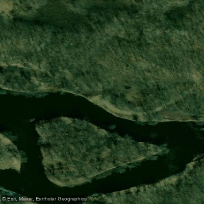
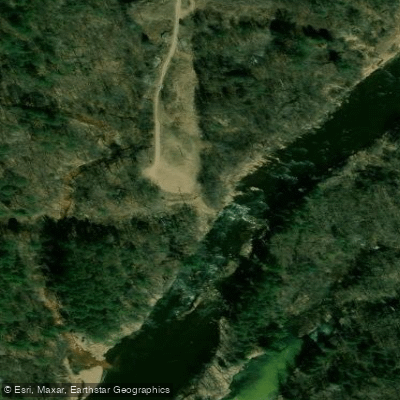
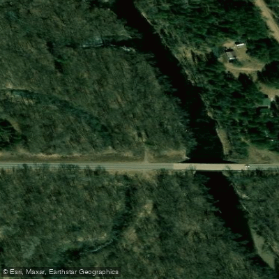
Learn how to get on Kettle River. Uncover great paddling access points, boat ramps, and all the facilities you need for an unforgettable day on the water. Some locations shown may border or include private property. Always check property boundaries and applicable regulations before visiting. PaddleWays's Public & Private Land layer can help you plan your access with confidence.
Paddle smarter with real-time insights
Whether you're en route and conditions shift or you're looking for the best spot based on current flows, we enable you to make informed decisions on the fly.








Find Places to Paddle

Over 400,000 Places to Paddle
Every user gets free access to launch points, boat ramps, and public property parcels.


Water and weather conditions (10 day forecast)
See the best times to paddle Kettle River and check the forecast before you go.
KETTLE RIVER BELOW SANDSTONE, MN
Paddling near Kettle River
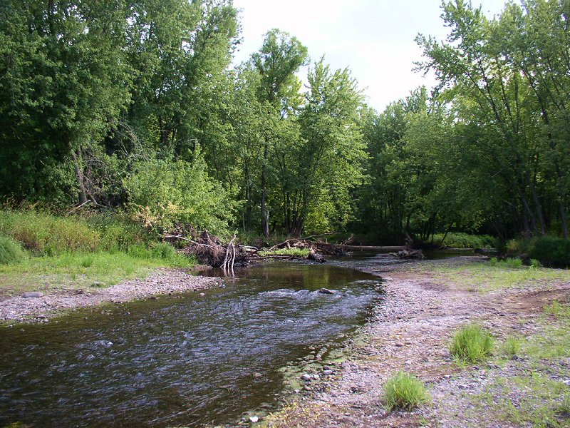
Sunrise River
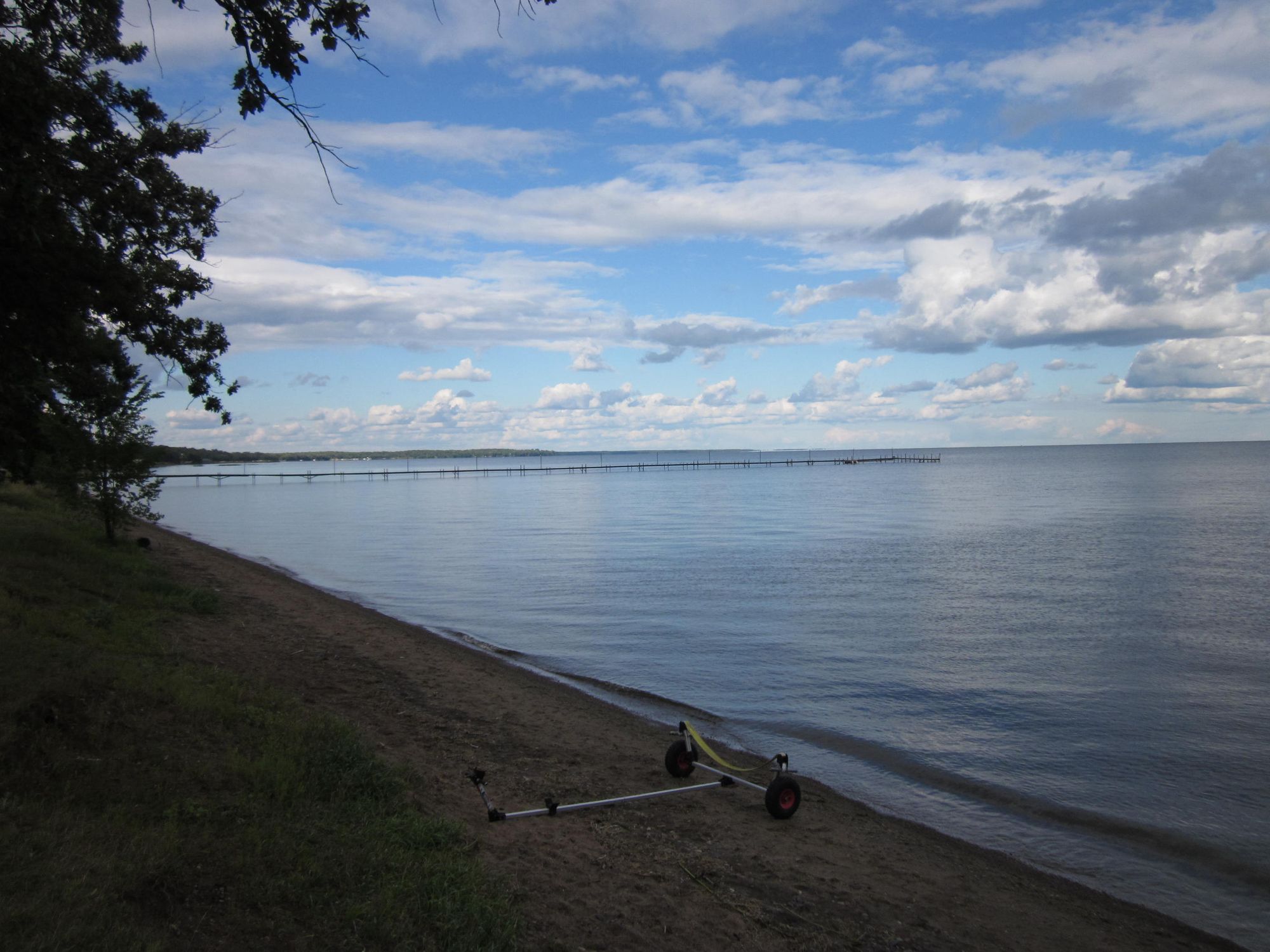
Mille Lacs Lake
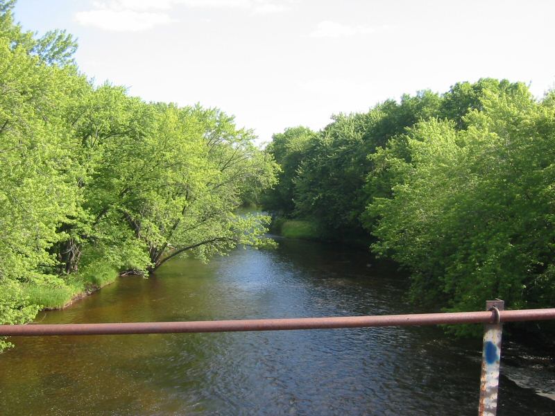
Rum River
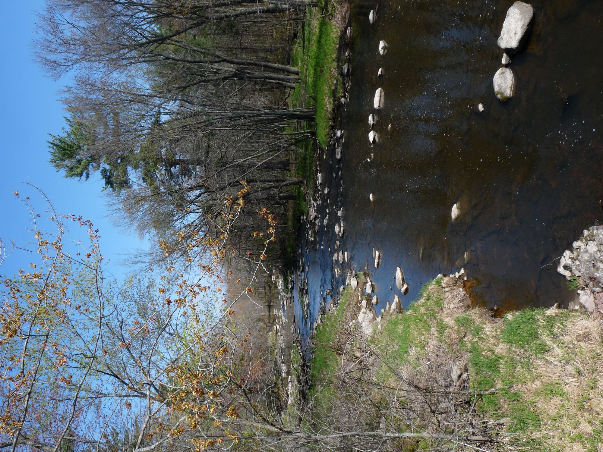
Yellow River
Namekagon River
Apple River
Red Cedar River

Willow River
Beaver Dam Lake
Saint Croix River
Explore Minnesota waters
Top paddling waters
Popular Cities
Loading popular cities...
Explore near Kettle River
Access points
- Kettle River, #5 Public Water Access Site
- Kettle River, #1 Public Water Access Site
- Kettle River, #7 Public Water Access Site
- Kettle River, Sandstone Public Water Access Site
- Kettle River, #2 Public Water Access Site
- Kettle River, #6 Public Water Access Site
- Kettle River, #4 Public Water Access Site
- Musclewood Lake Public Water Access Site
- Kettle River Bridge
- Kettle River Bridge
- Kettle River; St Bridge
- Jud Ditch # 2 Bridge
- All 81 spots
Nearby waters
More in Minnesota

Smarter Paddling Starts in the App.
Paddleways gives you everything you need to plan smarter, paddle better, and own every trip from first launch to takeout.