Lower Lake
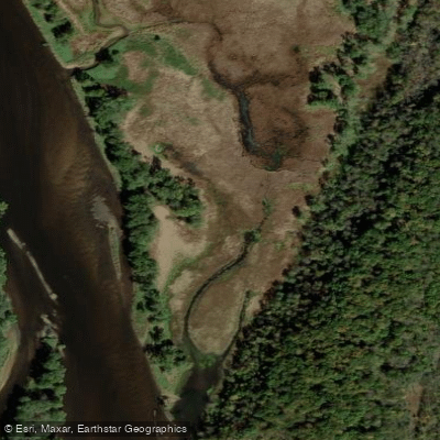
Lower Lake
- Boat Ramps
- 0
- Access Points
- 0
- Campsites
- 6
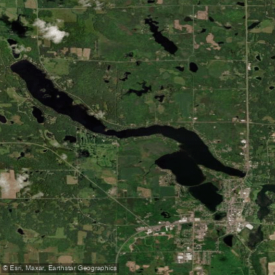
Lower Lake is a 25-acre seepage lake located in Polk County, Wisconsin, approximately 4 miles from Lake O' the Dalles. As a seepage lake with no inlet or outlet, it relies primarily on precipitation, runoff, and groundwater from the immediate drainage area for its water supply. This landlocked characteristic means water levels may fluctuate seasonally based on groundwater levels and rainfall patterns.
The lake's relatively small size makes it well-suited for quiet paddling experiences, particularly for canoes and kayaks. The seepage lake nature typically results in calmer, more protected waters compared to larger drainage lakes, though paddlers should be aware that no defined public boat launching facility is listed for this waterbody. Access may be limited to roadside entry or through private property with permission.
Lower Lake supports a modest fishery including panfish, making it a destination for anglers who may share the water with paddlers. The presence of panfish suggests adequate aquatic vegetation and structure, which can add visual interest for those exploring by paddle craft. The lake's small acreage means paddlers can thoroughly explore the shoreline in a single outing while enjoying the intimate scale of the waterbody.
The surrounding Polk County landscape features a mix of agricultural lands and natural areas characteristic of northwestern Wisconsin. Paddlers may encounter typical regional wildlife including waterfowl, herons, turtles, and various songbirds along the wooded shoreline areas. The seepage lake environment often supports unique wetland vegetation and provides habitat for amphibians.
Given the lack of motorized boat access information and the lake's modest size, Lower Lake likely offers a peaceful paddling experience away from heavy watercraft traffic. However, prospective visitors should verify current access options and respect private property boundaries when planning a visit to this small Polk County lake.
Water access, boat ramps & amenities
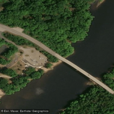
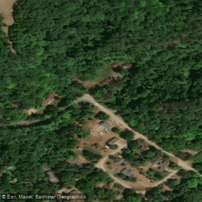
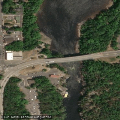
Learn how to get on Lower Lake. Uncover great paddling access points, boat ramps, and all the facilities you need for an unforgettable day on the water. Some locations shown may border or include private property. Always check property boundaries and applicable regulations before visiting. PaddleWays's Public & Private Land layer can help you plan your access with confidence.
Paddle smarter with real-time insights
Whether you're en route and conditions shift or you're looking for the best spot based on current flows, we enable you to make informed decisions on the fly.








Find Places to Paddle

Over 400,000 Places to Paddle
Every user gets free access to launch points, boat ramps, and public property parcels.


Water and weather conditions (10 day forecast)
See the best times to paddle Lower Lake and check the forecast before you go.
No forecast data available.
Paddling near Lower Lake

Mississippi River
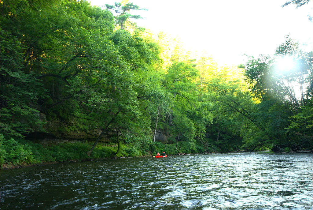
Apple River
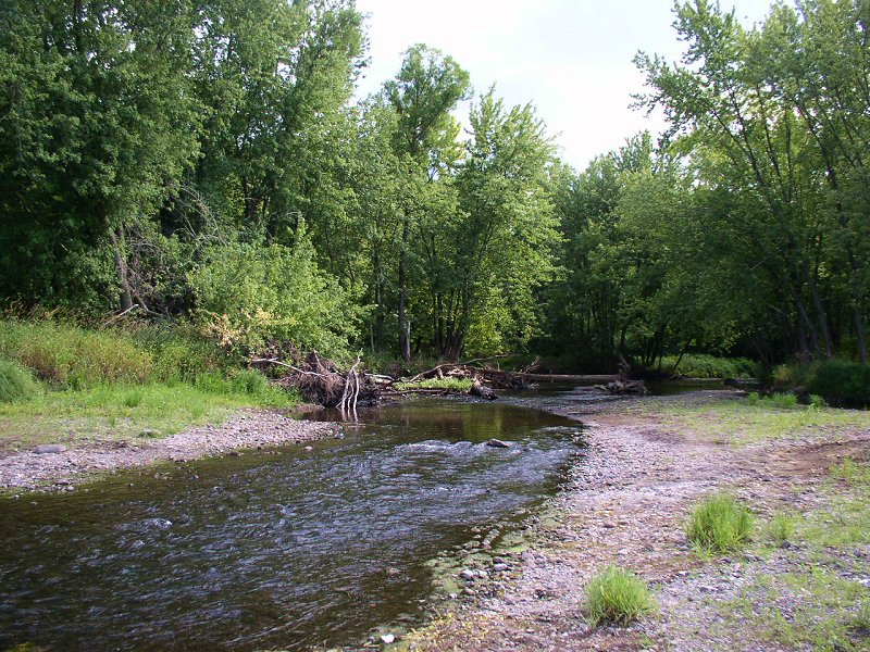
Sunrise River

Willow River
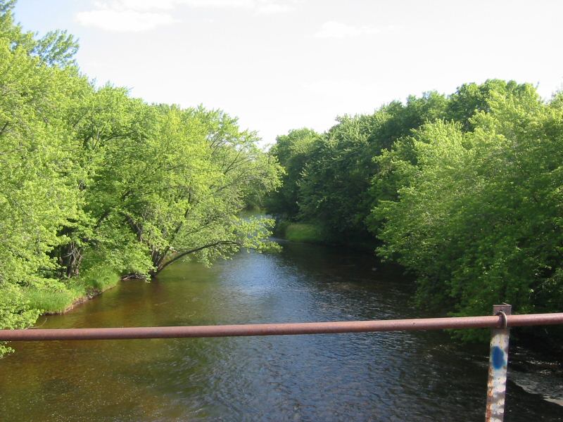
Rum River
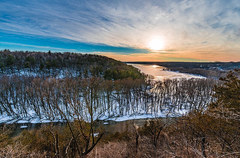
Kinnickinnic River
Red Cedar River
Yellow River
Vermillion River
Beaver Dam Lake
Explore Wisconsin waters
Top paddling waters
Popular Cities
Loading popular cities...
Explore near Lower Lake
Access points
Nearby waters
More in Wisconsin

Smarter Paddling Starts in the App.
Paddleways gives you everything you need to plan smarter, paddle better, and own every trip from first launch to takeout.