Curated by PaddleWays
RouteClass II–III
- Distance
- 7 mi
- Paddle time
- ~2 hrs
- Put-in → take-out
- Manitou River Access → Highway 61 Falls Access
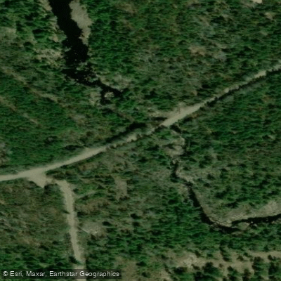
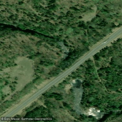
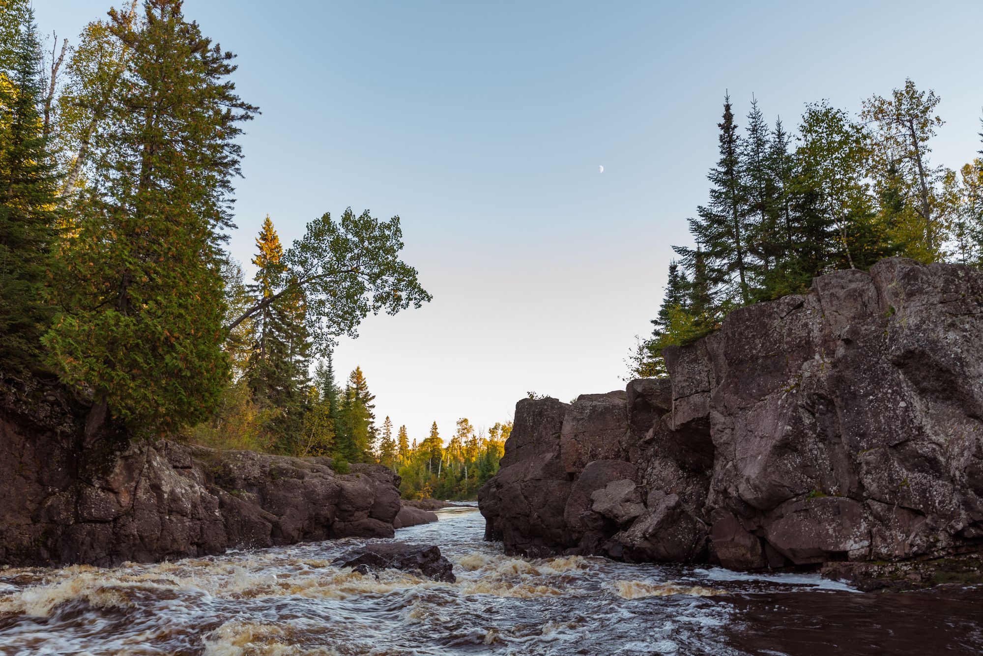
Waterfalls and cascades near Highway 61
The Manitou River is a rugged and scenic waterway located in northeastern Minnesota, flowing approximately 25 miles from its headwaters near Benson Lake in George H. Crosby Manitou State Park northeastward to Lake Superior. The river carves through the rocky terrain of the North Shore, creating a series of cascades and waterfalls as it descends over 800 feet in elevation.
Paddling opportunities on the Manitou River range from calm flatwater sections to challenging whitewater runs. The upper reaches offer a wilderness paddling experience through George H. Crosby Manitou State Park, with limited access and potential for off-trail navigation. The most popular whitewater section runs 5.5 miles from County Road 5 to the falls above Highway 61, featuring Class III-IV rapids that require advanced paddling skills and proper equipment.
Water levels are typically best for paddling in spring during snowmelt and after heavy rains. Summer often brings lower water levels, making some sections too shallow for enjoyable paddling. Autumn can provide a second window of opportunity with increased rainfall and cooler temperatures.
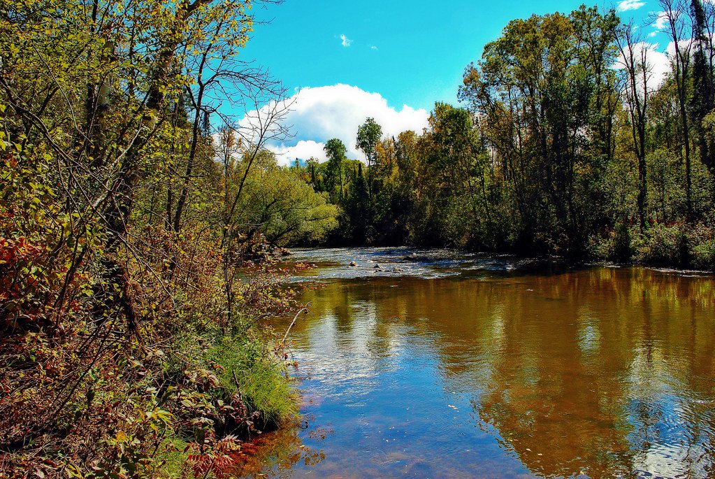
The river corridor supports a diverse ecosystem of boreal and northern hardwood forests. Wildlife sightings may include black bears, moose, white-tailed deer, and a variety of bird species. Brook trout and rainbow trout inhabit the river, attracting anglers to its clear, cold waters.
Key landmarks include the multi-tiered Manitou Cascades within the state park and two scenic waterfalls just downstream of Highway 61 near Lake Superior. The Superior Hiking Trail crosses the river, offering hikers dramatic views of the gorge and falls.
Primary access points are located at County Road 5, County Road 7, and near Highway 61. The nearest towns are Finland and Silver Bay, providing services for paddlers and hikers exploring the area.
The Manitou River holds cultural significance for the Ojibwe people, who have inhabited the region for centuries. The name Manitou refers to a spiritual and fundamental life force in Algonquian groups' spiritual beliefs.
Safety considerations are paramount when paddling the Manitou River. The remote setting, cold water, and challenging rapids demand proper preparation, equipment, and skills. Paddlers should be aware of current conditions and potential hazards before embarking on any trip.
While multi-day paddling trips are not common due to the river's short length, the surrounding area offers excellent opportunities for combined paddling and backpacking adventures, utilizing the backcountry campsites within George H. Crosby Manitou State Park and along the Superior Hiking Trail.
Curated routes
Hand-picked by the PaddleWays team, with put-ins, take-outs, paddle times and the hazards along the way.
RouteClass II–III
RouteClass II–IV
Hazards
No hazards are marked on Manitou River yet. That is not the same as none being there: if you find one, report it for the next paddler.
From the community
Nobody has shared a trip on Manitou River yet. Paddle it, then tell the next paddler how it went.
See exactly where the public can get on and off the river. Launch points and boat ramps are paired with PaddleWays' public land data so you know where you can legally land.
Public shoreline
72%of the river's shoreline is public
Flows, weather and a route-by-route verdict, so you know which stretch of the Manitou River is worth paddling today.
No forecast data available.
Live flows, marked hazards and fresh trip reports from paddlers who were just on the water, all in one place.





Every user gets free access to launch points, boat ramps, and public property parcels.
Loading popular cities...
PaddleWays gives you everything you need to plan smarter, paddle better, and own every trip from first launch to takeout.