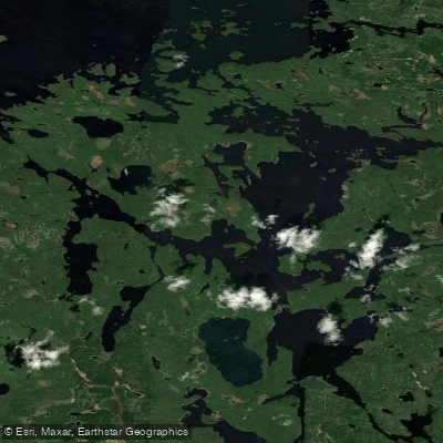
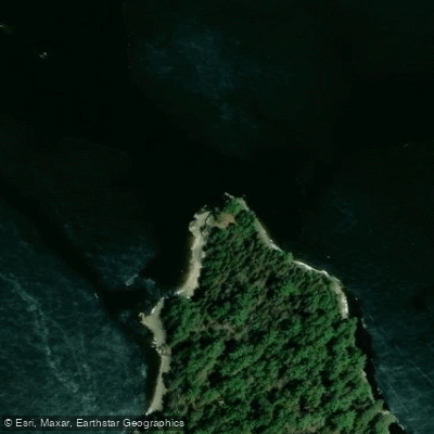
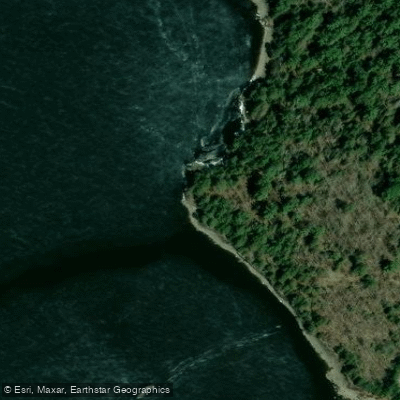
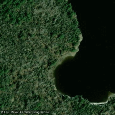
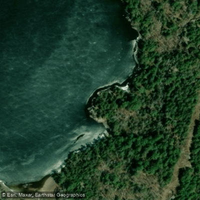
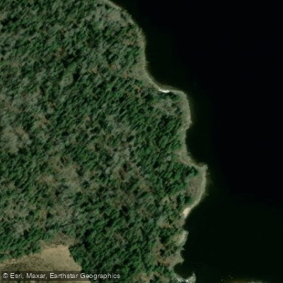
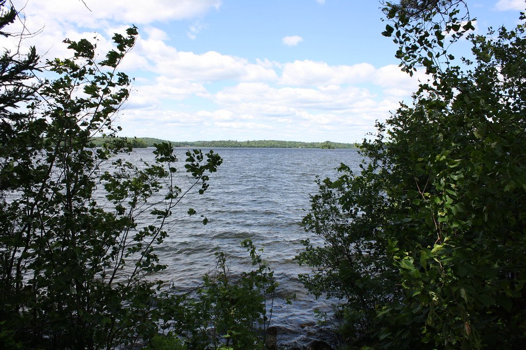
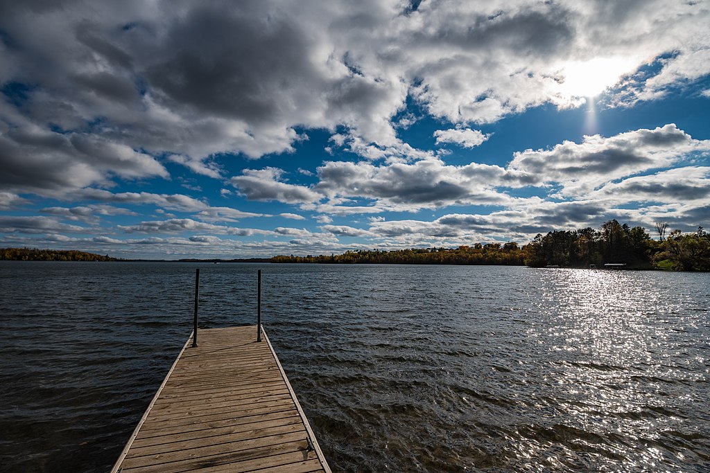
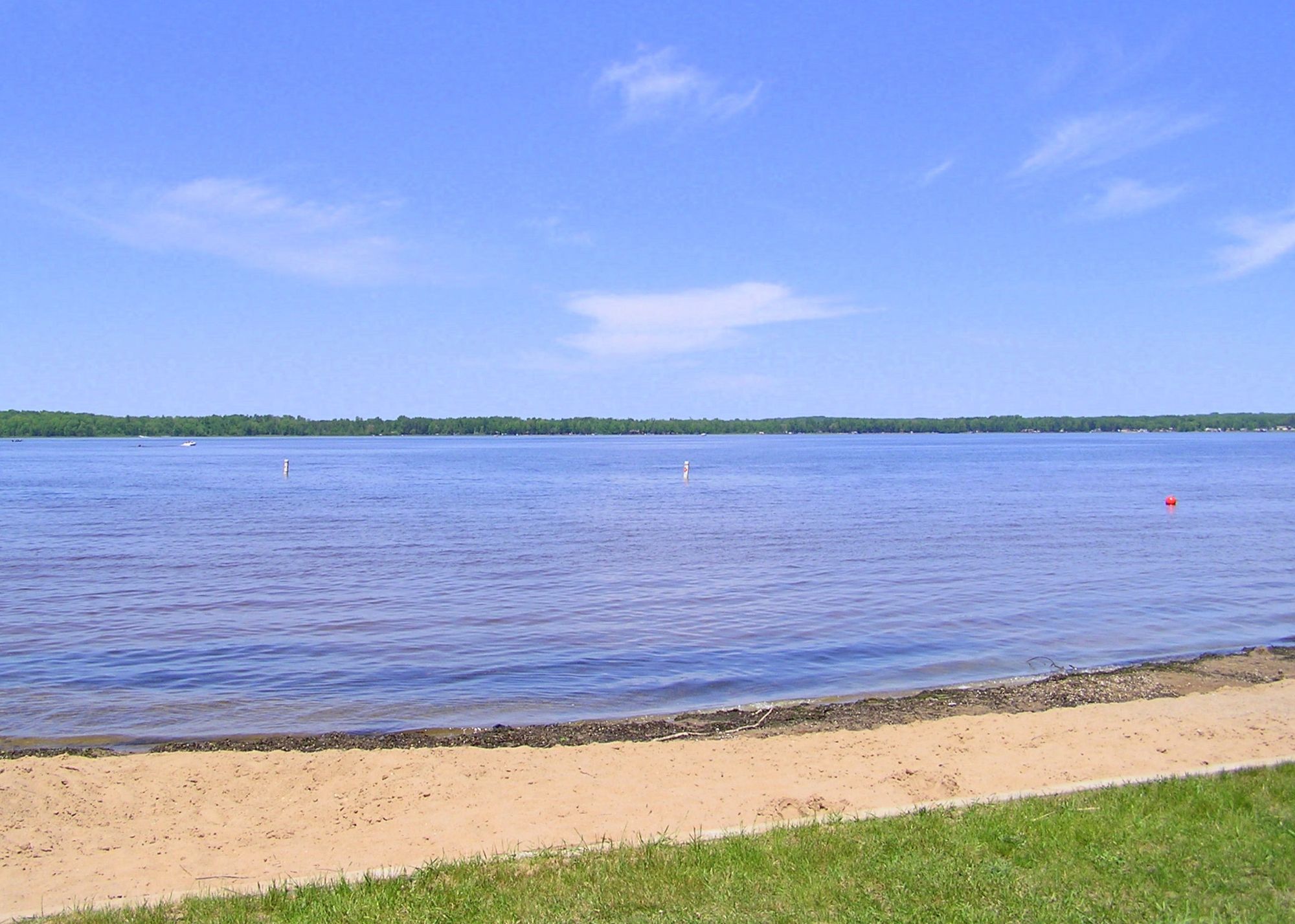
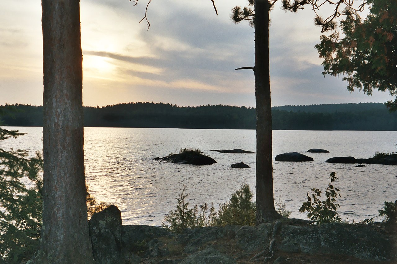
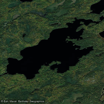
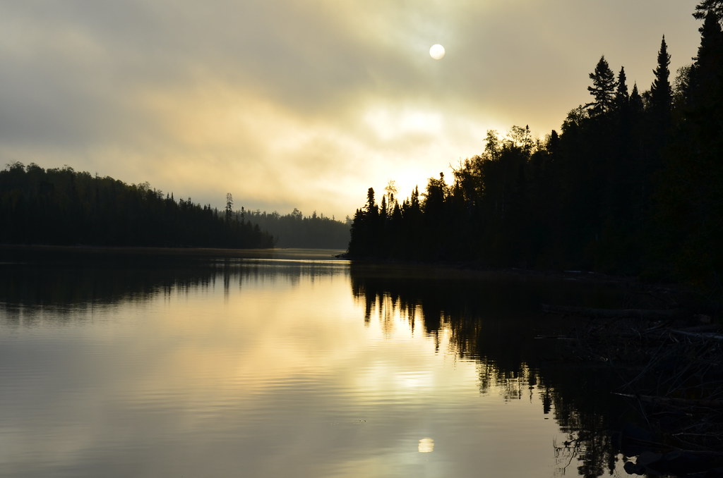
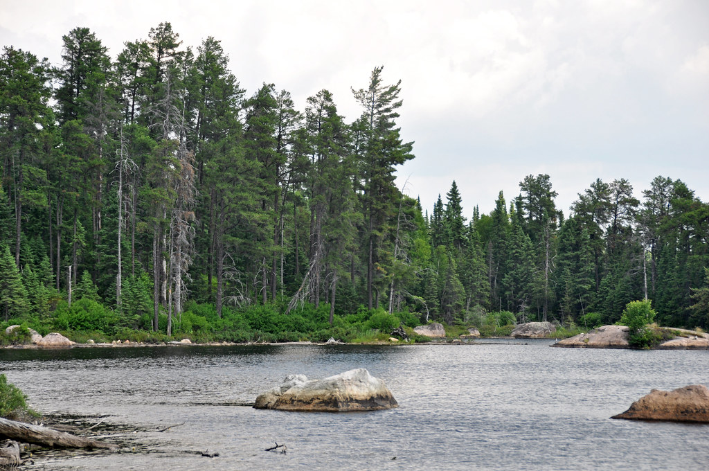
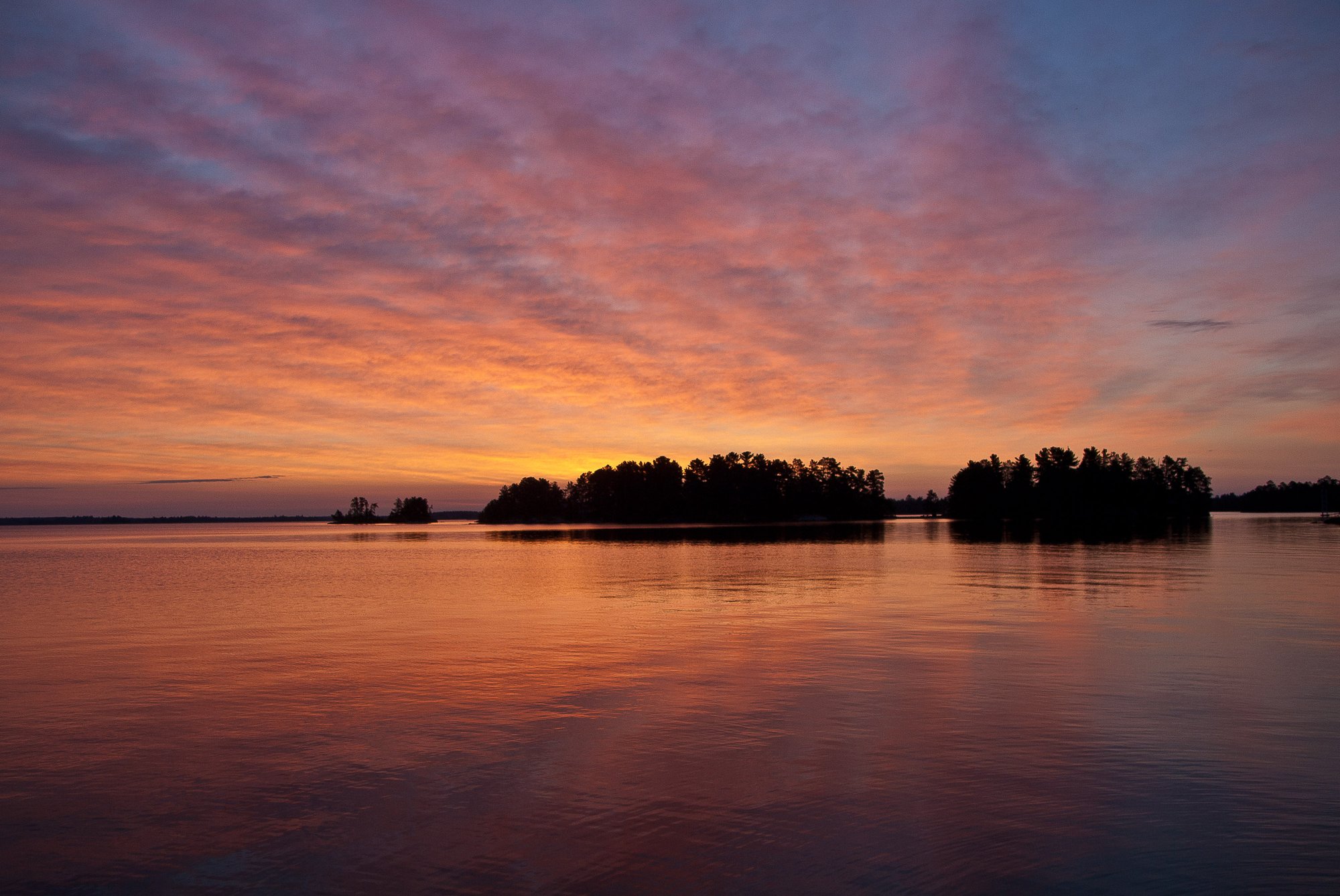
Sand Point Lake is a large, scenic lake located in Voyageurs National Park in northern Minnesota. With a surface area of 8,526 acres (4,848 acres in Minnesota) and a maximum depth of 184 feet, it offers ample space for paddling adventures. The lake features 92 miles of shoreline dotted with 115 islands, providing numerous areas to explore.
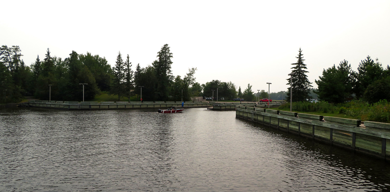
Access to Sand Point Lake is primarily through the gateway community of Crane Lake, approximately 5 miles to the south. The lake is part of the Namakan Reservoir system and connects to other major park lakes including Namakan and Crane. Water-based campsites are available, requiring advance reservations through Recreation.gov.
Paddlers will find soft waters with sparse aquatic vegetation, except in shallow bays. The lake bottom is characterized by boulder, ledge rock, rubble, sand, and muck. Water clarity is good, with a mean summer transparency of 7.2 feet. The lake typically stratifies from late May to late October.
Wildlife viewing opportunities abound, with chances to spot bald eagles, moose, and black bears. The lake supports a variety of fish species, including walleye, northern pike, and yellow perch, making it popular for fishing.
Paddlers should be prepared for potential high winds and waves on this large lake. Weather can change suddenly, so having backup plans and allowing extra time is essential. The lake is subject to border water regulations between the U.S. and Canada, as the international border runs through it.
Facilities for paddlers include 40 water-access campsites on Sand Point Lake, equipped with tent pads, picnic tables, bear-proof food lockers, and fire rings. Many sites also have docks for easy landing. The Kettle Falls area, accessible by water, offers a historic hotel for those seeking more comfortable accommodations within the park.