Biloxi River

Biloxi River
- Boat Ramps
- 1
- Access Points
- 1
- Campsites
- 0
The Biloxi River is a coastal waterway system located in southern Mississippi, flowing generally southward into the Back Bay of Biloxi and ultimately the Mississippi Sound. While relatively short at approximately 30 miles in length, the Biloxi River and its associated bayous, marshes, and bays form an extensive and ecologically rich estuarine environment. The river originates in rural Harrison County, Mississippi and meanders southeast, joined by tributaries like the Tchoutacabouffa River and Bernard Bayou before widening into the Back Bay of Biloxi. This expansive bay stretches nearly 10 miles east-west before opening into the large Big Lake area and then tapering into Bernard Bayou.
Paddling opportunities abound throughout this diverse waterway system. The Back Bay of Biloxi offers an excellent flatwater paddling experience suitable for beginners and experienced paddlers alike. The 10-mile stretch provides protected waterways, more open bay areas, and chances to explore coastal islands and marshes. Paddlers can enjoy scenic views of the Biloxi skyline and abundant wildlife. For those seeking a taste of open water, the Deer Island Loop provides a popular 4-mile circuit just off the Biloxi coast. This route offers great exposure to paddling in the Mississippi Sound and Biloxi Bay, with a quick 10-minute paddle from Biloxi Beach to reach the island.
Inland, the Biloxi River Marshes Coastal Preserve encompasses 4,020 acres of pristine coastal wetlands. This area is ideal for multi-day explorations, allowing paddlers to immerse themselves in diverse ecosystems including marshlands, river channels, and coastal forests. Wildlife viewing opportunities are plentiful.
The region experiences a subtropical climate, with hot summers and mild winters. Spring and fall offer ideal paddling conditions with moderate temperatures and lower humidity. Paddlers should be aware of potential tropical storm activity from June through November.
Key access points include launches in Biloxi, Gulfport, and Ocean Springs. The Davis Bayou area in the Gulf Islands National Seashore provides an excellent starting point for exploring the eastern portions of the system.
Historically, the Biloxi River and Back Bay have played a crucial role in the region's development, supporting Native American communities, early European settlements, and the modern seafood industry. Today, the area balances urban development with efforts to preserve its rich coastal ecosystems.
Paddlers should be mindful of boat traffic, especially on weekends, and stay informed about weather conditions. Multi-day trips are possible by combining various sections and utilizing primitive camping opportunities on Deer Island and within the coastal preserves.
Water access, boat ramps & amenities
Learn how to get on Biloxi River. Uncover great paddling access points, boat ramps, and all the facilities you need for an unforgettable day on the water. Some locations shown may border or include private property. Always check property boundaries and applicable regulations before visiting. PaddleWays's Public & Private Land layer can help you plan your access with confidence.
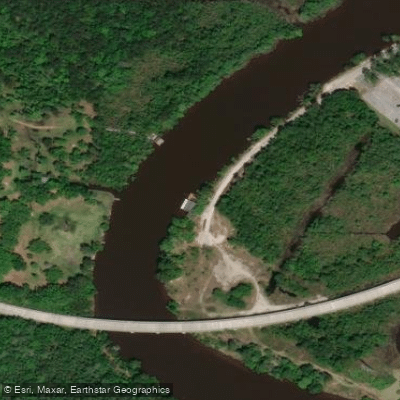
Paddle smarter with real-time insights
Whether you're en route and conditions shift or you're looking for the best spot based on current flows, we enable you to make informed decisions on the fly.








Find Places to Paddle

Over 400,000 Places to Paddle
Every user gets free access to launch points, boat ramps, and public property parcels.


Water and weather conditions (10 day forecast)
See the best times to paddle Biloxi River and check the forecast before you go.
BILOXI RIVER AT WORTHAM, MS
All Flow Stations
Paddling near Biloxi River

Pascagoula River

Pearl River
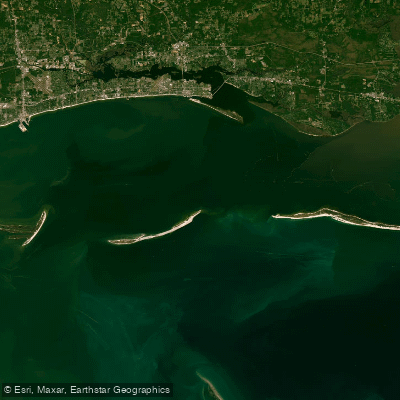
Mississippi Sound
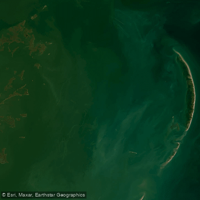
Chandeleur Sound
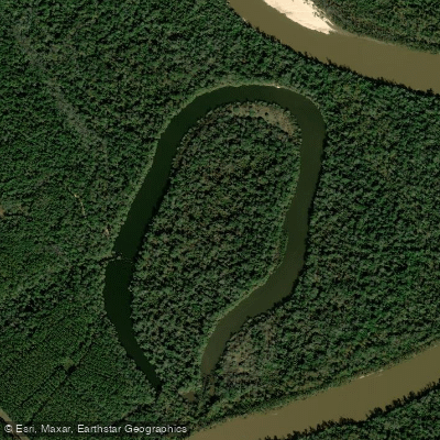
McCrea Dead River
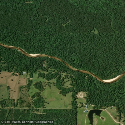
Red Creek
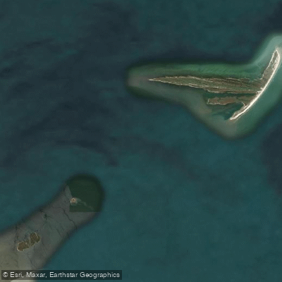
Cat Island Channel
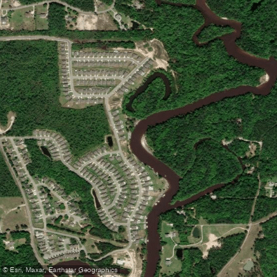
Tchoutacabouffa River
Explore Mississippi waters
Top paddling waters
Popular Cities
Loading popular cities...
Explore near Biloxi River
Access points
Nearby waters
More in Mississippi

Smarter Paddling Starts in the App.
Paddleways gives you everything you need to plan smarter, paddle better, and own every trip from first launch to takeout.