McCrea Dead River
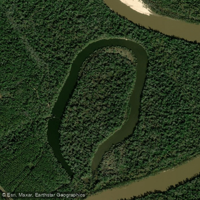
McCrea Dead River
- Boat Ramps
- 1
- Access Points
- 1
- Campsites
- 10
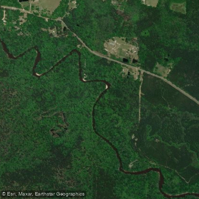
McCrea Dead River is a former river channel (oxbow) of the Pascagoula River in Mississippi. This waterbody offers paddlers a unique glimpse into how rivers change course over time. Access is available via Mixon Lake Road off Highway 57. During high water events, the oxbow may reconnect with the main river channel, providing additional paddling opportunities.
The area is part of the Pascagoula River Wildlife Management Area (WMA), which requires visitors to purchase and carry a WMA User Permit and complete a daily use permit card before entering. These permit cards are available at permit stations located at major WMA entrances.
The surrounding habitat supports diverse wildlife including wading birds, alligators, and various waterfowl. The waterway is flanked by bottomland hardwoods and cypress-tupelo swamps, creating an environment rich in wildlife viewing opportunities. The broader WMA encompasses 37,000 acres where paddlers might encounter river otters, beaver, deer, and even black bear.
The Dead River system is best suited for experienced and intermediate paddlers due to the region's strong currents and the distance between access points. The main Pascagoula River Blueway in this area spans approximately 22 miles and typically takes about 8 hours to paddle, though specific times for the Dead River section are not provided.
For paddlers interested in photography, the oxbow lake environment offers excellent opportunities to capture images of wildlife and natural scenery. The area is particularly notable in spring and fall when migratory birds pass through, and during winter and early spring when waterfowl populations peak.
Water access, boat ramps & amenities
Learn how to get on McCrea Dead River. Uncover great paddling access points, boat ramps, and all the facilities you need for an unforgettable day on the water. Some locations shown may border or include private property. Always check property boundaries and applicable regulations before visiting. PaddleWays's Public & Private Land layer can help you plan your access with confidence.
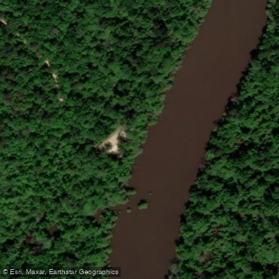
Paddle smarter with real-time insights
Whether you're en route and conditions shift or you're looking for the best spot based on current flows, we enable you to make informed decisions on the fly.








Find Places to Paddle

Over 400,000 Places to Paddle
Every user gets free access to launch points, boat ramps, and public property parcels.


Water and weather conditions (10 day forecast)
See the best times to paddle McCrea Dead River and check the forecast before you go.
No forecast data available.
Paddling near McCrea Dead River

Pascagoula River

Pearl River
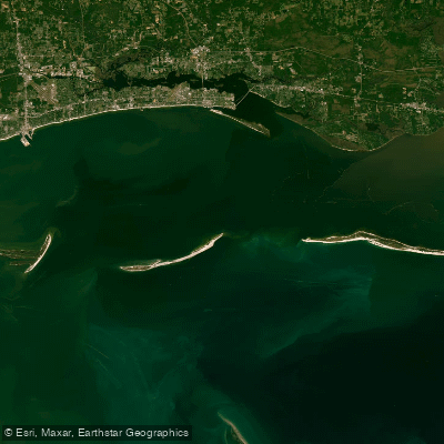
Mississippi Sound

Biloxi River
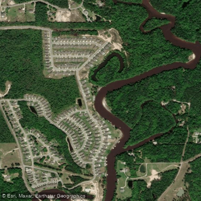
Tchoutacabouffa River
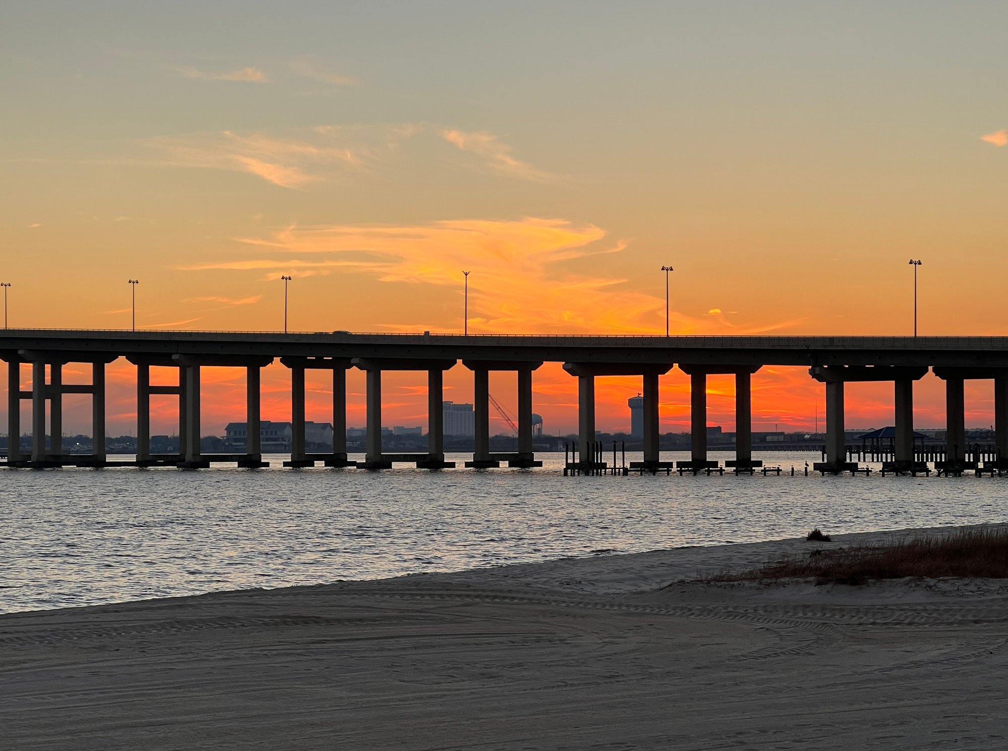
Biloxi Bay
Tuxachanie Creek
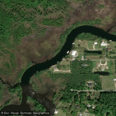
Old Fort Bayou
Chandeleur Sound
Black Creek
Explore Mississippi waters
Top paddling waters
Popular Cities
Loading popular cities...
Explore near McCrea Dead River
Access points
- Mccrae Dead River Pas. Wildlife Management Area Boat Ramp
- Slough Bridge
- Black Creek Bridge
- Big Creek Bridge
- Pascagoula River Bridge
- Reedy Creek Bridge
- Flurry Mill Pond Branch Bridge
- Big Creek Bridge
- Pascagoula Wildlife Management Area Campground
- Pascagoula Wildlife Management Area Campground
- Pascagoula Wildlife Management Area Campground
- Pascagoula Wildlife Management Area Campground
- All 18 spots
Nearby waters
More in Mississippi

Smarter Paddling Starts in the App.
Paddleways gives you everything you need to plan smarter, paddle better, and own every trip from first launch to takeout.