Loakfoma Lake
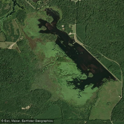
Loakfoma Lake
- Boat Ramps
- 1
- Access Points
- 1
- Campsites
- 0
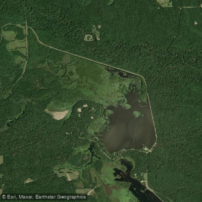
Loakfoma Lake is a 600-acre body of water located within the Sam D. Hamilton Noxubee National Wildlife Refuge in Mississippi. The lake, along with nearby Bluff Lake, provides excellent opportunities for quiet paddling while observing wildlife and natural scenery.
The refuge encompasses 48,000 acres of bottomland and upland forest, creating a rich habitat for diverse wildlife. Paddlers frequently encounter wood storks and bald eagles, while the surrounding forest supports populations of quail, deer, and turkey. The protected setting makes this an ideal destination for wildlife photography and bird watching from the water.
The lake's relatively modest size makes it well-suited for day trips, with approximately 4.1 miles of paddling opportunities. The protected waters within the wildlife refuge offer a peaceful paddling experience away from heavy boat traffic. Both Loakfoma and the adjacent Bluff Lakes are particularly well-suited for quietly exploring the shoreline and observing the native wildlife in their natural habitat.
Loakfoma Lake is situated in Noxubee County and is managed as part of the national wildlife refuge system. Originally established in 1940 for migratory bird conservation, the refuge and its waters continue to serve as an important habitat for various waterfowl species. The National Audubon Society has designated the refuge as an Important Bird Area of global importance in Mississippi.
The lake is part of a larger wetland system that includes two major lakes (Loakfoma at 400-600 acres and Bluff Lake at 800-1,200 acres), green-tree reservoirs, and various smaller impoundments. This interconnected aquatic environment provides essential habitat for the American alligator and numerous bird species.
Water access, boat ramps & amenities
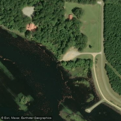
Learn how to get on Loakfoma Lake. Uncover great paddling access points, boat ramps, and all the facilities you need for an unforgettable day on the water. Some locations shown may border or include private property. Always check property boundaries and applicable regulations before visiting. PaddleWays's Public & Private Land layer can help you plan your access with confidence.
Paddle smarter with real-time insights
Whether you're en route and conditions shift or you're looking for the best spot based on current flows, we enable you to make informed decisions on the fly.








Find Places to Paddle

Over 400,000 Places to Paddle
Every user gets free access to launch points, boat ramps, and public property parcels.


Water and weather conditions (10 day forecast)
See the best times to paddle Loakfoma Lake and check the forecast before you go.
No forecast data available.
Paddling near Loakfoma Lake
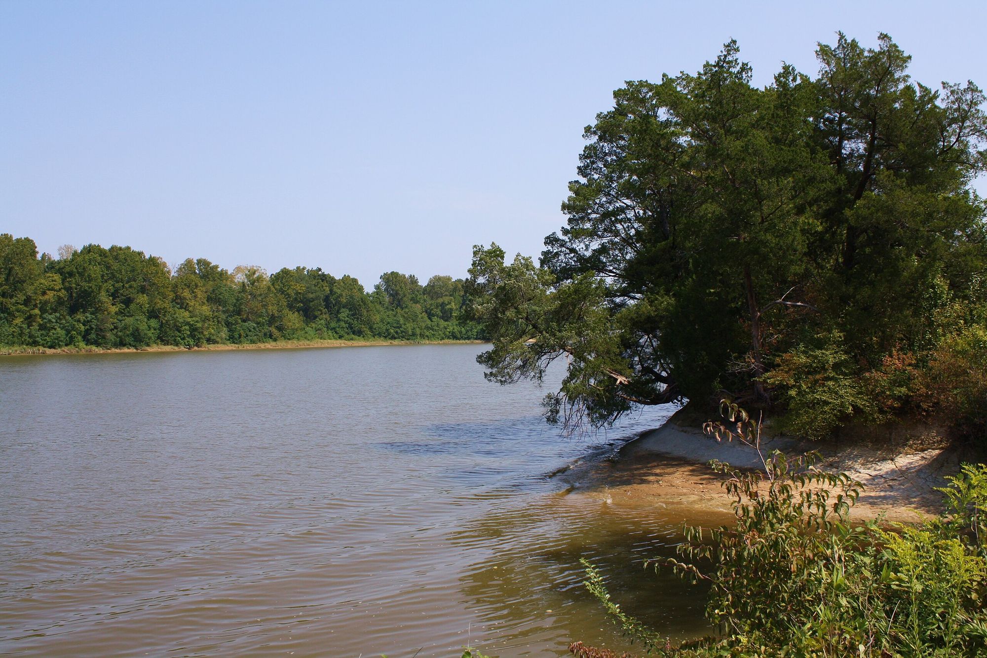
Tombigbee River
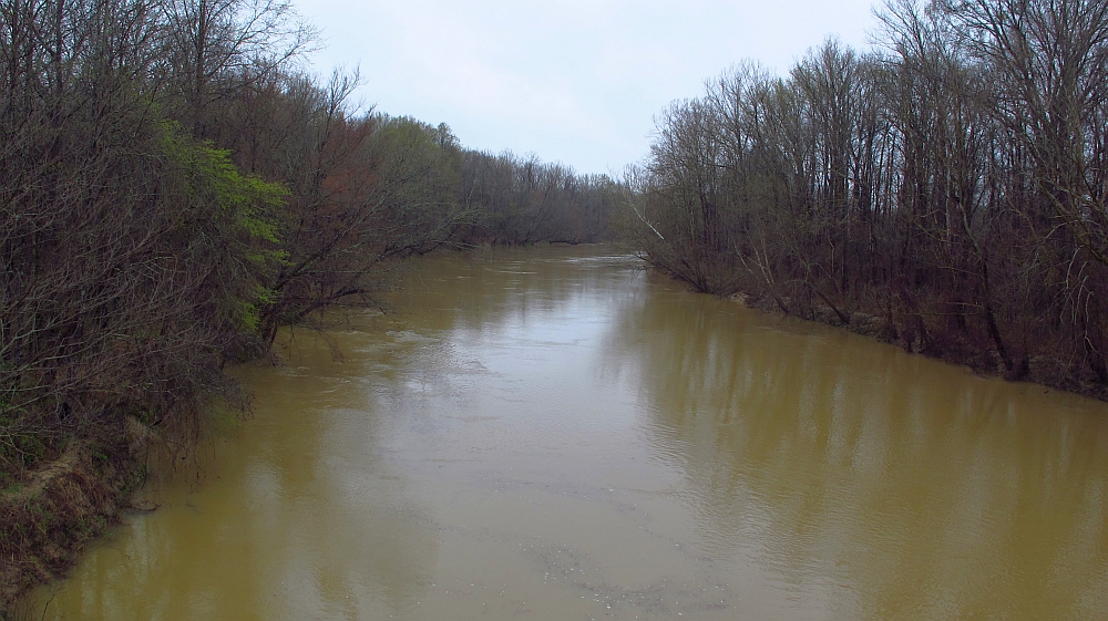
Yalobusha River

Pearl River
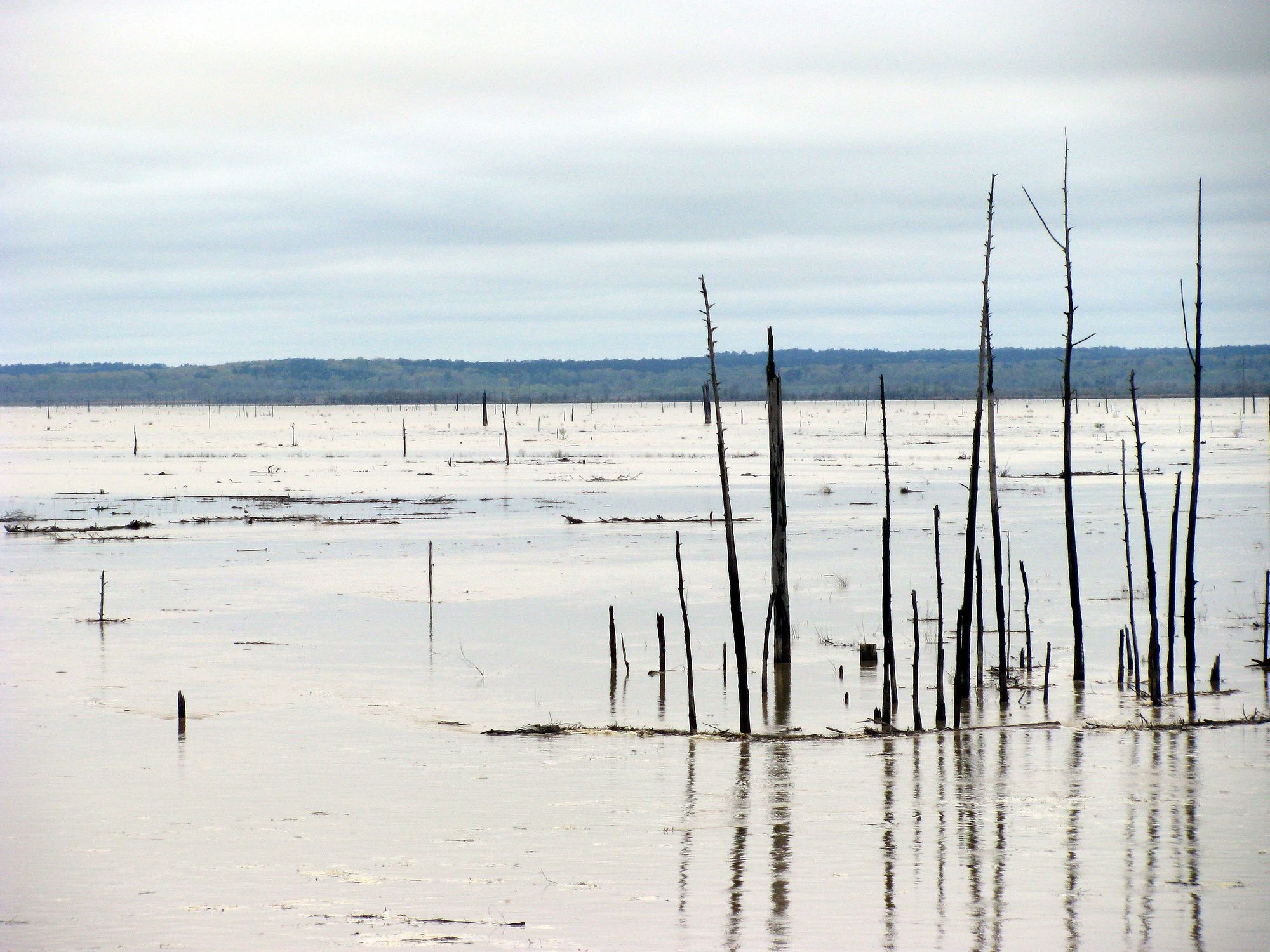
Grenada Lake
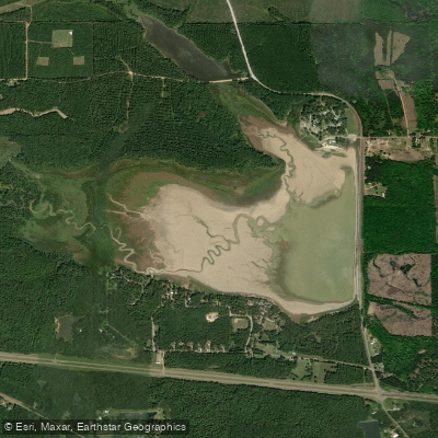
Oktibbeha County Lake
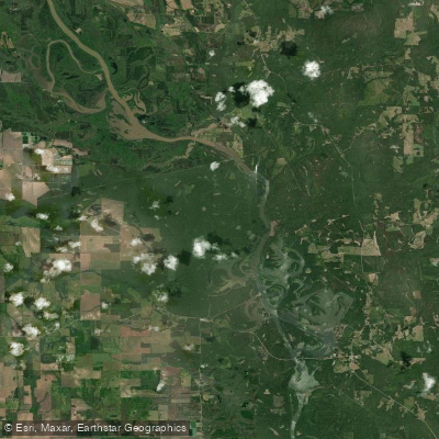
Aliceville Lake
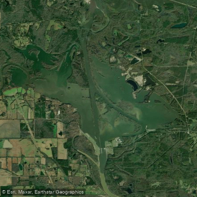
Columbus Lake
Bluff Lake
Big Black River
Explore Mississippi waters
Top paddling waters
Popular Cities
Loading popular cities...
Explore near Loakfoma Lake
Access points
Nearby waters
More in Mississippi

Smarter Paddling Starts in the App.
Paddleways gives you everything you need to plan smarter, paddle better, and own every trip from first launch to takeout.