D C Rogers Lake
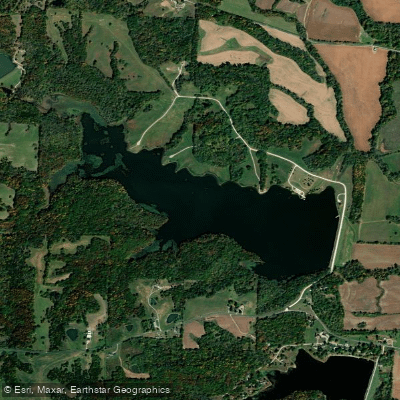
D C Rogers Lake
- Boat Ramps
- 2
- Access Points
- 3
- Campsites
- 0
D C Rogers Lake serves as a water supply reservoir for the City of Fayette, Missouri, with a surface area of 185 acres and maximum depth of 27 feet. The lake permits non-motorized boats and motorized vessels under 9.9 horsepower, though personal watercraft are prohibited. No fees are required for boat use.
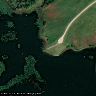
Access is available via County Road 205 in Fayette. A handicapped-accessible ramp extends parallel to the dam, though as of 2022 the cement at the end of the ramp had separated and split, making it partially unusable. A parking area is located near this ramp.
The Missouri Department of Conservation occasionally offers introductory kayaking programs on the lake, providing equipment and instruction for newcomers to the sport. These events indicate the lake is suitable for beginner paddlers.
Important regulations include: - Park hours: 6:00 AM to 10:30 PM Sunday-Thursday, 6:00 AM to midnight Friday-Saturday - No swimming or wading - No glass containers allowed - Fishing access is restricted to the dam area during waterfowl season - Group activities require prior approval and a $25 fee
The lake supports populations of bass and channel catfish. During waterfowl season, duck hunting is permitted from designated blind locations, which paddlers should be aware of when planning trips during this period.
This is primarily a water supply lake, and all recreational activities are secondary to this purpose. Any restrictions related to protecting water quality may be implemented as needed. Users should check posted notices at the lake for current restrictions or regulations.
The surrounding park area includes picnic areas and tables. Primitive camping ($20/night) and RV camping ($30/night) are available in designated areas with permits obtained from the Police Department.
Water access, boat ramps & amenities
Learn how to get on D C Rogers Lake. Uncover great paddling access points, boat ramps, and all the facilities you need for an unforgettable day on the water. Some locations shown may border or include private property. Always check property boundaries and applicable regulations before visiting. PaddleWays's Public & Private Land layer can help you plan your access with confidence.
Paddle smarter with real-time insights
Whether you're en route and conditions shift or you're looking for the best spot based on current flows, we enable you to make informed decisions on the fly.








Find Places to Paddle

Over 400,000 Places to Paddle
Every user gets free access to launch points, boat ramps, and public property parcels.


Water and weather conditions (10 day forecast)
See the best times to paddle D C Rogers Lake and check the forecast before you go.
No forecast data available.
Paddling near D C Rogers Lake

Missouri River
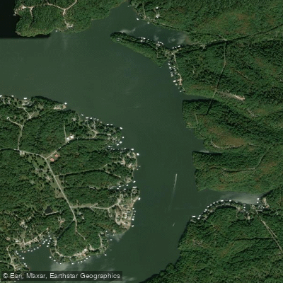
Osage River
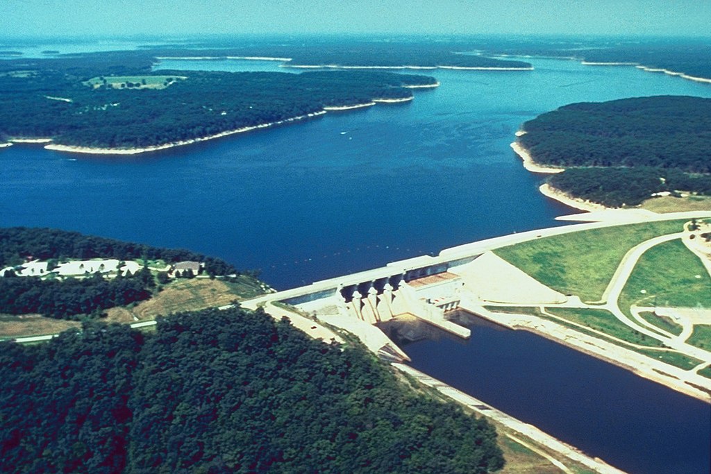
Mark Twain Lake
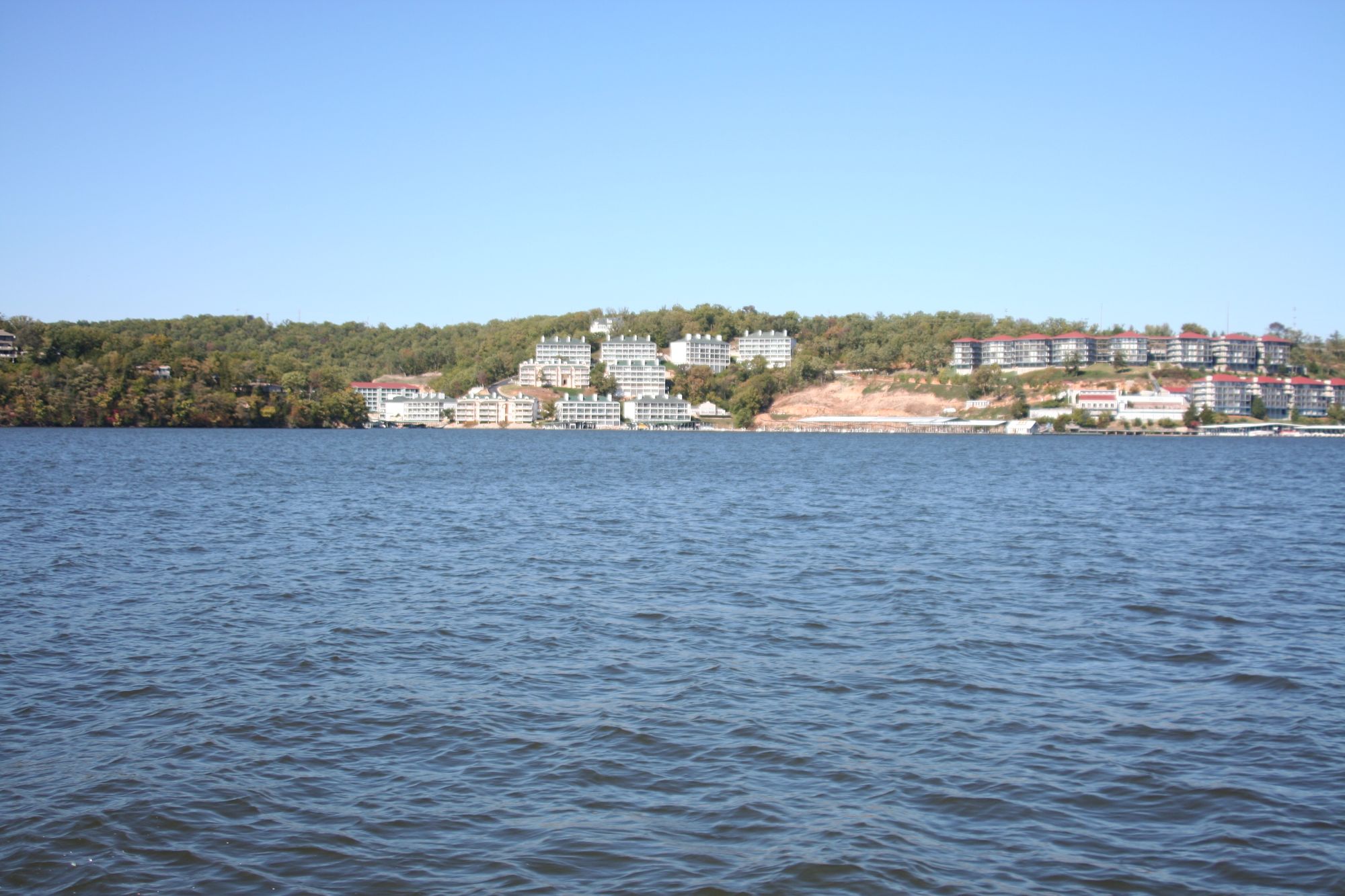
Lake of the Ozarks
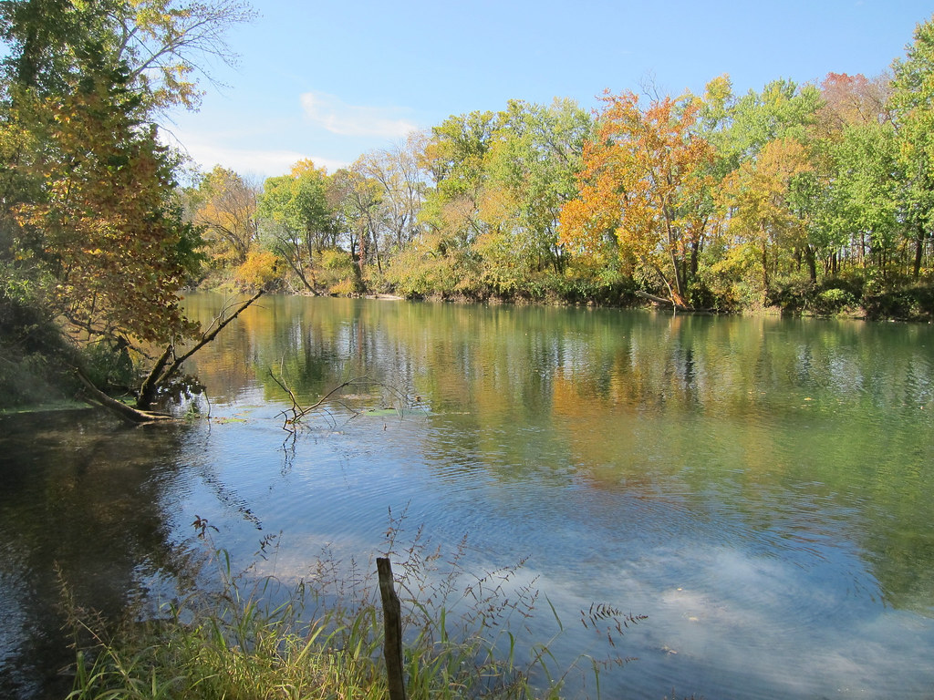
Gasconade River

Little Dixie Lake
Perche Creek
Lamine River
Moniteau Creek
Explore Missouri waters
Top paddling waters
Popular Cities
Loading popular cities...
Explore near D C Rogers Lake
Access points
Nearby waters
More in Missouri

Smarter Paddling Starts in the App.
Paddleways gives you everything you need to plan smarter, paddle better, and own every trip from first launch to takeout.