Little Dixie Lake

Little Dixie Lake
- Boat Ramps
- 1
- Access Points
- 4
- Campsites
- 0
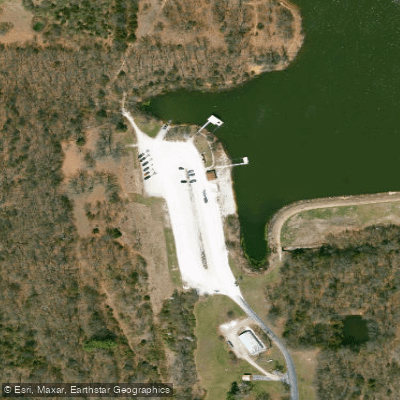
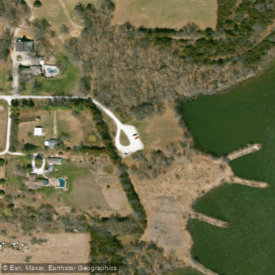
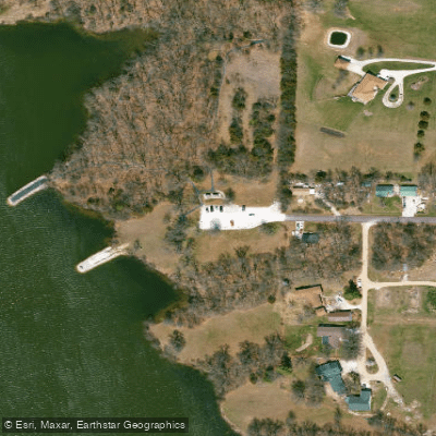
Little Dixie Lake is a 205-acre impoundment created in 1957 by damming Owl Creek, located near Millersburg, Missouri. The lake features a boat ramp and boat dock, providing straightforward access for paddlers. Multiple access points exist along the lake, including two easily accessible points on either side of the upper lake that are suitable for launching canoes and small watercraft.
Boats, including canoes, kayaks, and paddleboards, are permitted on the lake, though houseboats, airboats, and personal watercraft are prohibited. All watercraft must comply with state registration and safety equipment requirements. Boats cannot be left unattended overnight.
The lake is surrounded by more than 700 acres of public conservation land, featuring a mix of oak-hickory forests and restored prairie areas. Nine fishing jetties and a fishing dock provide convenient landmarks for navigation. The lake's shoreline includes standing timber in the upper end, offering interesting features to explore.
Facilities include a picnic area, pavilion, and parking areas. The lake's setting provides opportunities for wildlife observation, with various fish species and waterfowl present throughout the year.
Little Dixie was Missouri's first community lake and continues to serve as an important research site, with multiple experimental ponds located below the dam. The area received its name from early settlers from Kentucky, Tennessee, and North Carolina who brought strong cultural ties to the South.
For paddlers interested in fishing, the lake supports a diverse fish population, including paddlefish, lake sturgeon, and various sunfish species. The combination of open water and forested shoreline creates varied paddling environments within a relatively compact area.
Water access, boat ramps & amenities
Learn how to get on Little Dixie Lake. Uncover great paddling access points, boat ramps, and all the facilities you need for an unforgettable day on the water. Some locations shown may border or include private property. Always check property boundaries and applicable regulations before visiting. PaddleWays's Public & Private Land layer can help you plan your access with confidence.
Paddle smarter with real-time insights
Whether you're en route and conditions shift or you're looking for the best spot based on current flows, we enable you to make informed decisions on the fly.








Find Places to Paddle

Over 400,000 Places to Paddle
Every user gets free access to launch points, boat ramps, and public property parcels.


Water and weather conditions (10 day forecast)
See the best times to paddle Little Dixie Lake and check the forecast before you go.
No forecast data available.
Paddling near Little Dixie Lake

Missouri River
Osage River
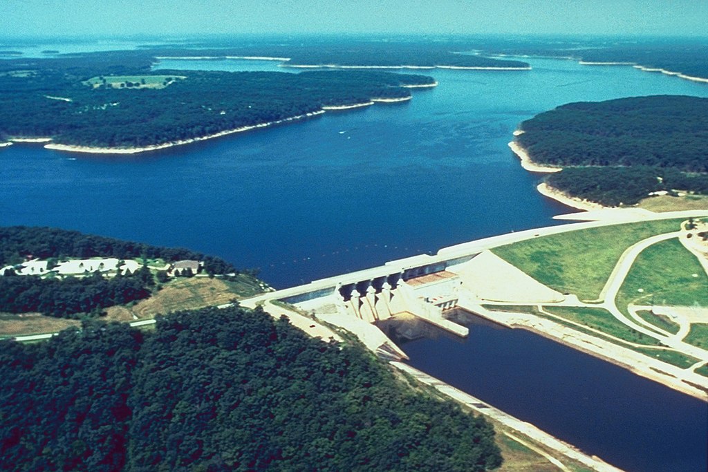
Mark Twain Lake
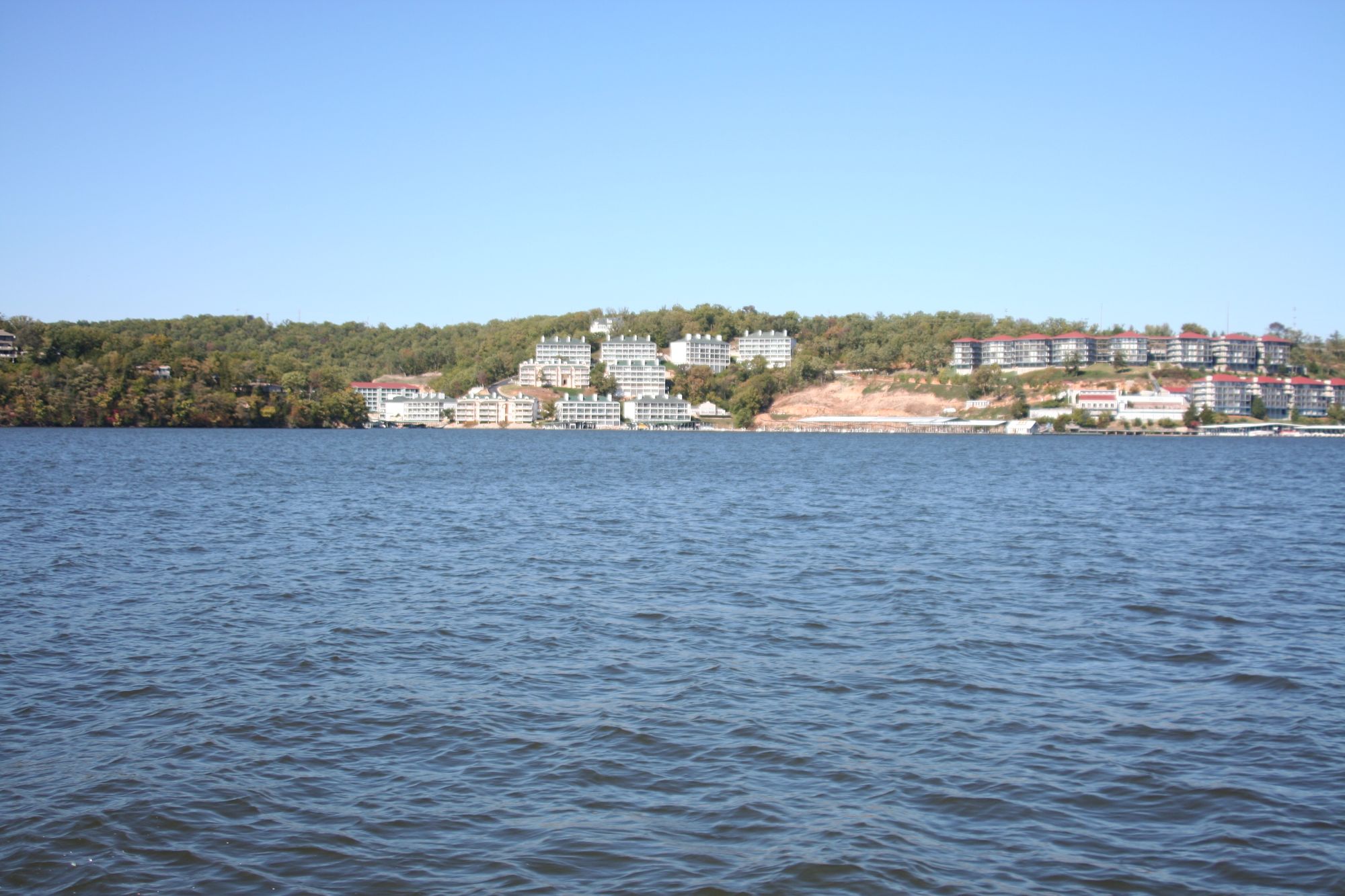
Lake of the Ozarks
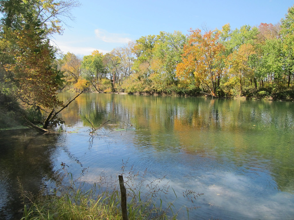
Gasconade River
Perche Creek
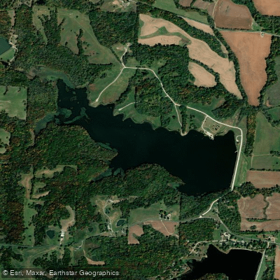
D C Rogers Lake
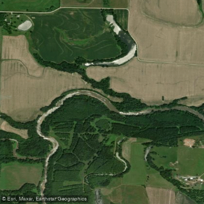
Lamine River
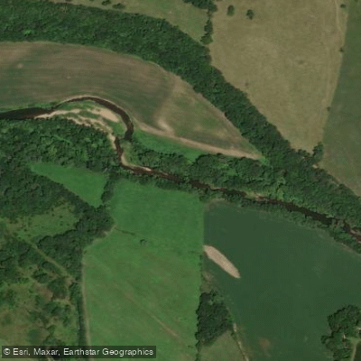
Moniteau Creek
Explore Missouri waters
Top paddling waters
Popular Cities
Loading popular cities...
Explore near Little Dixie Lake
Access points
- Little Dixie Lake Conservation Area Boat Ramp
- Little Dixie Lake Conservation Area Access
- Little Dixie Lake Conservation Area Access
- Little Dixie Lake Conservation Area Access
- Owl Cr Bridge
- Sally Br Bridge
- Cedar Cr Bridge
- Owl Cr Bridge
- Millers Cr Bridge
- Millers Cr Bridge
- Br Of Millers Cr Bridge
- Lit Cedar Cr Bridge
- All 19 spots
Nearby waters
More in Missouri

Smarter Paddling Starts in the App.
Paddleways gives you everything you need to plan smarter, paddle better, and own every trip from first launch to takeout.