Moniteau Creek
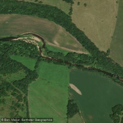
Moniteau Creek
- Boat Ramps
- 1
- Access Points
- 3
- Campsites
- 7
Moniteau Creek Paddling Guide: Cole County's Hidden Gem Flowing through the heart of central Missouri, Moniteau Creek offers paddlers a peaceful escape through diverse landscapes before joining the mighty Missouri River. This tributary winds its way through Cooper, Moniteau, and Cole counties, with some of the most rewarding paddling found in the Marion Bottoms Conservation Area section in Cole County.
River Character and Experience Moniteau Creek provides an intimate paddling experience quite different from Missouri's larger waterways. You'll find yourself meandering through a mix of agricultural bottomland, riparian forests dominated by cottonwood and willow, and expansive wetlands. The creek's gentle current makes it accessible to paddlers of all skill levels, though seasonal water levels can significantly impact your experience.
The most popular and well-developed section lies within the 2,997-acre Marion Bottoms Conservation Area, where the creek flows through restored wetlands and floodplain before reaching the Missouri River. Here, paddlers encounter a unique ecosystem where seasonal flooding creates diverse habitat supporting waterfowl, shorebirds, and an impressive variety of fish species including flathead catfish, channel catfish, and even the occasional grass carp.
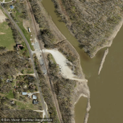
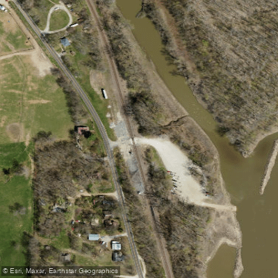
Access and Navigation The primary access point is located at Marion Bottoms Conservation Area, reached by taking Highway 179 north from Marion for 3.5 miles, then turning east on Moniteau Creek Road to the boat launch. This conservation area offers the most developed paddling opportunities, with a designated boat access point that serves as both put-in and take-out for loop trips exploring the wetlands and backwater areas.
The area's unique geography, surrounded by the Missouri River on three sides, creates interesting paddling opportunities. You can explore the restored chutes where the Missouri River has been allowed to reconnect with parts of the floodplain, providing additional spawning areas for fish and creating dynamic paddling conditions that change with river levels.
Seasonal Considerations Spring and early summer typically provide the best paddling conditions, when snowmelt and spring rains maintain adequate water levels. During these periods, you'll witness the area at its most vibrant, with migrating waterfowl utilizing the extensive wetlands and wildflowers blooming along the banks.
Fall offers excellent paddling as well, particularly for those interested in wildlife observation. The conservation area becomes a staging ground for migrating birds, and the changing foliage of the bottomland hardwoods creates stunning scenery. Winter paddling is possible but requires careful attention to weather conditions and ice formation.
Natural Features and Wildlife The creek's journey through Marion Bottoms showcases Missouri's floodplain ecosystem at its finest. You'll paddle through areas where management has emphasized restoration of natural hydrology, creating seasonal wetlands that benefit not just waterfowl but also furbearers, reptiles, and amphibians. The blue holes scattered throughout the area provide deeper water refugia for fish and interesting exploration opportunities for paddlers.
As you paddle, watch for the area's diverse bird life. The conservation area serves as important habitat for both resident and migratory species, and the mix of open water, emergent vegetation, and flooded timber creates ideal conditions for wildlife observation. Great blue herons, various duck species, and even bald eagles frequent the area.
Hazards and Considerations While Moniteau Creek is generally forgiving, several factors require attention. Water levels can fluctuate dramatically based on Missouri River conditions and local precipitation. During high water periods, current can increase significantly, and navigation through the wetland areas becomes more challenging.
The conservation area's remote location means cell phone coverage can be spotty, so inform someone of your paddling plans. The single access road means there's currently only one way in and out of the area, which is important for trip planning.
Seasonal hunting occurs in the conservation area, so check with the Missouri Department of Conservation for current regulations and seasons. During waterfowl season, early morning paddling may encounter hunters, though the area is large enough to accommodate multiple users.
What Makes Moniteau Creek Special Moniteau Creek represents successful conservation and restoration efforts in action. The area was purchased following the devastating 1993 floods, transforming former agricultural land back into functional floodplain habitat. Paddlers today benefit from this foresight, experiencing a waterway that showcases what Missouri's river bottoms looked like historically.
The creek's name derives from the Native American term "Manitou," reflecting the spiritual significance these waters held for indigenous peoples. That sense of connection to the natural world remains strong today as you paddle through landscapes where the boundary between water and land shifts with the seasons.
For those seeking a paddling experience that combines accessible recreation with meaningful conservation education, Moniteau Creek in Cole County delivers. Whether you're exploring the quiet backwaters of Marion Bottoms or venturing toward the confluence with the Missouri River, you'll discover why this modest creek has earned its place among Missouri's paddling destinations worth protecting and exploring.
Water access, boat ramps & amenities
Learn how to get on Moniteau Creek. Uncover great paddling access points, boat ramps, and all the facilities you need for an unforgettable day on the water. Some locations shown may border or include private property. Always check property boundaries and applicable regulations before visiting. PaddleWays's Public & Private Land layer can help you plan your access with confidence.
Paddle smarter with real-time insights
Whether you're en route and conditions shift or you're looking for the best spot based on current flows, we enable you to make informed decisions on the fly.








Find Places to Paddle

Over 400,000 Places to Paddle
Every user gets free access to launch points, boat ramps, and public property parcels.


Water and weather conditions (10 day forecast)
See the best times to paddle Moniteau Creek and check the forecast before you go.
No forecast data available.
Paddling near Moniteau Creek

Missouri River
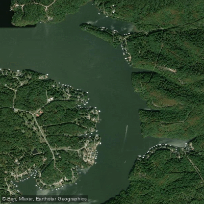
Osage River
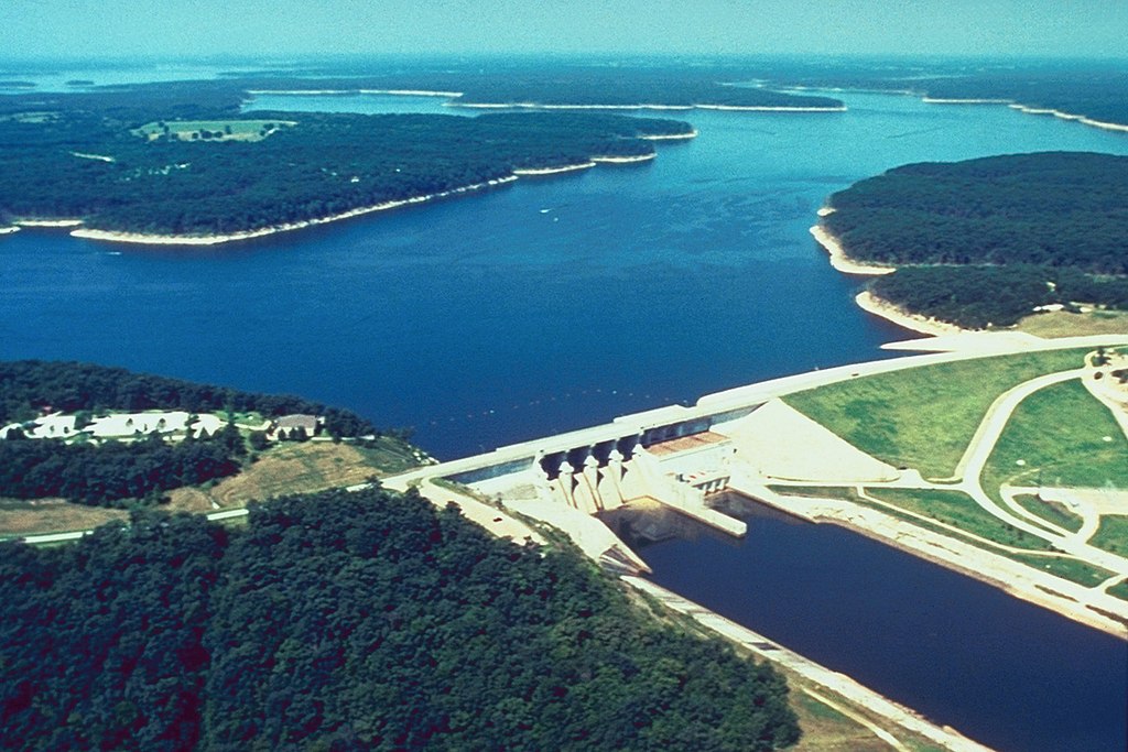
Mark Twain Lake
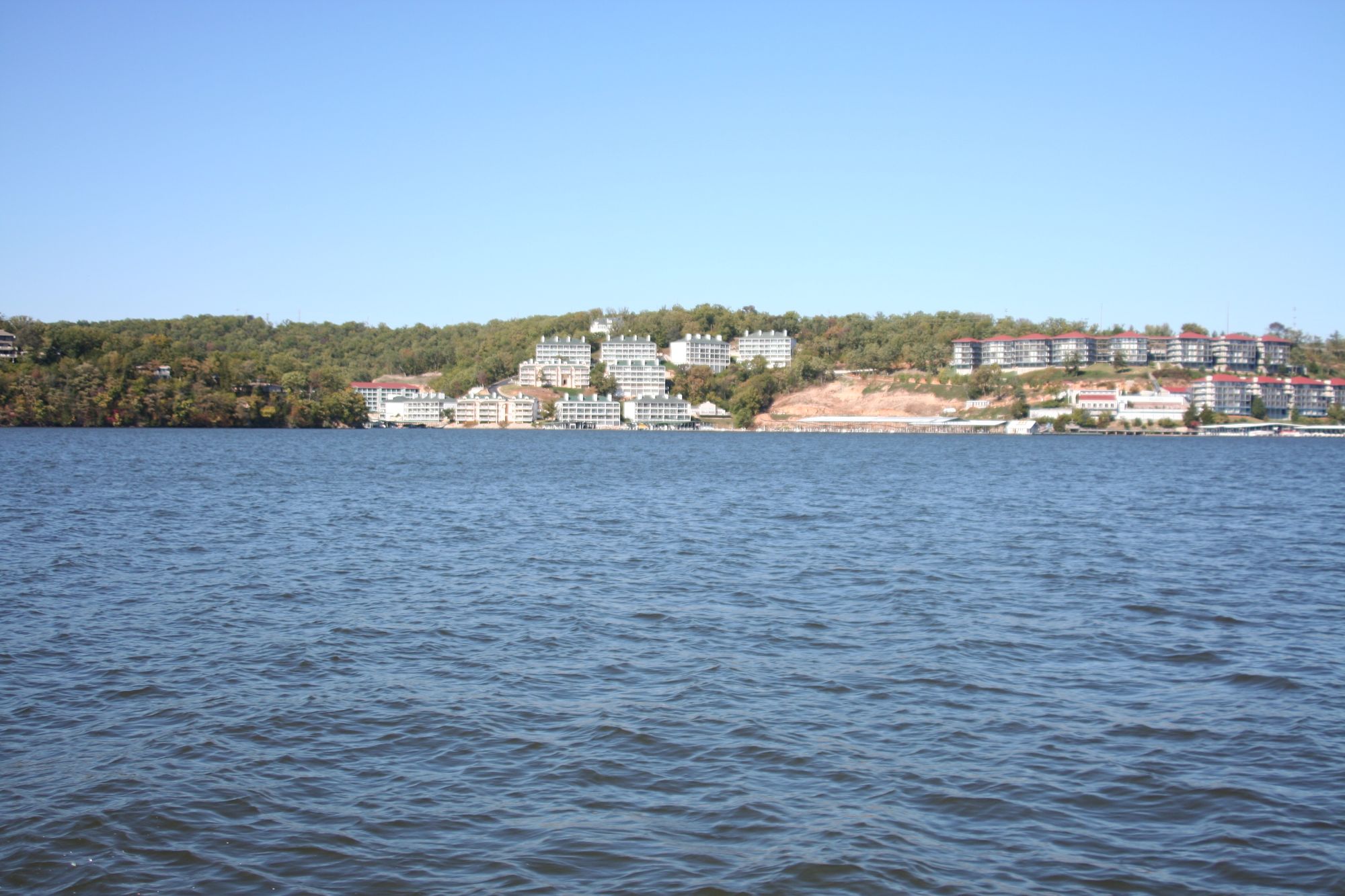
Lake of the Ozarks
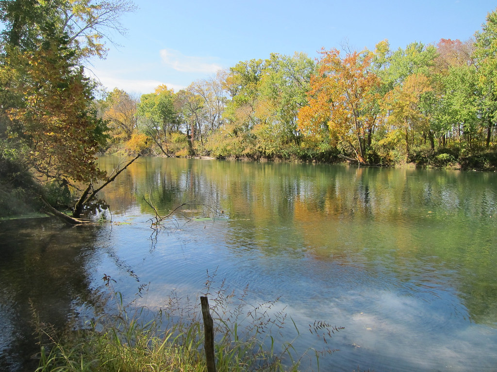
Gasconade River

Little Dixie Lake
Perche Creek
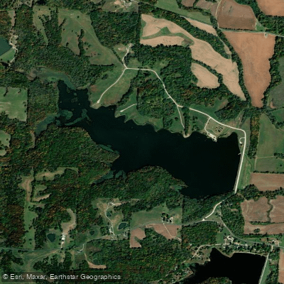
D C Rogers Lake
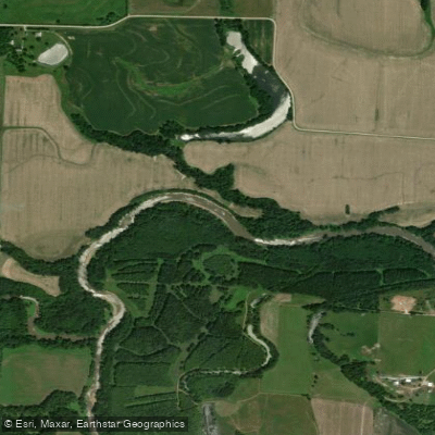
Lamine River
Explore Missouri waters
Top paddling waters
Popular Cities
Loading popular cities...
Explore near Moniteau Creek
Access points
Nearby waters
More in Missouri

Smarter Paddling Starts in the App.
Paddleways gives you everything you need to plan smarter, paddle better, and own every trip from first launch to takeout.