North Moreau Creek
North Moreau Creek
- Boat Ramps
- 0
- Access Points
- 0
- Campsites
- 3
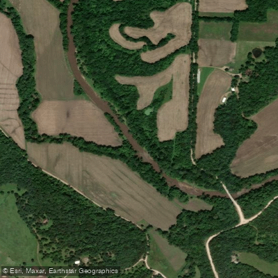
North Moreau Creek flows through central Missouri as a significant tributary within the Moreau River watershed, eventually joining with South Moreau Creek to form the main stem of the Moreau River before emptying into the Missouri River just south of Jefferson City. The creek drains portions of Cole County and surrounding areas, carving through terrain that represents a transition zone between the Ozark Plateau's northwestern reaches and the broader Missouri River valley.
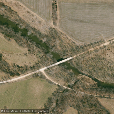
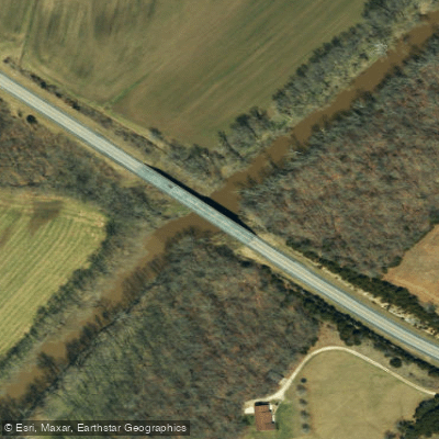
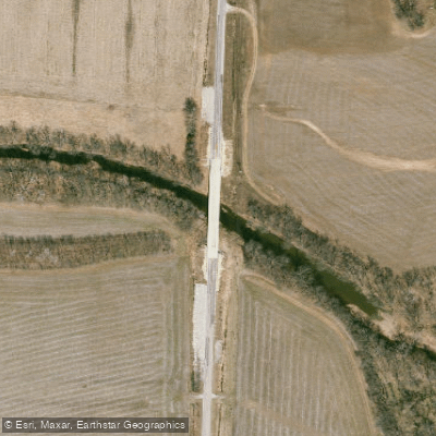
The primary paddling corridor extends from Rockhouse Bridge to Stringtown Bridge Access, offering floaters a genuine Missouri stream experience. Rockhouse Bridge, located 5.5 miles south of McGirk off Highway K, serves as the uppermost put-in point for recreational paddling. The route downstream leads to Stringtown Bridge Access, positioned 5 miles west of Jefferson City on Highway C, then 1 mile west on Hemstreet Road. This section presents Class I-II water, making it accessible to intermediate paddlers while still providing enough challenge to maintain interest through riffles and moving water.
Water levels dictate the quality of the paddling experience on North Moreau Creek. Springtime offers the best floating conditions when snowmelt and seasonal rains maintain adequate depth. As the season progresses into summer and fall, water levels typically drop, requiring paddlers to anticipate portages over shallow riffles. This seasonal variability is characteristic of Missouri's smaller watersheds and demands flexible trip planning.
The creek supports a diverse fishery that reflects its position within the Moreau River system. Anglers target largemouth bass, smallmouth bass, spotted bass, channel catfish, flathead catfish, bluegill, longear sunfish, and crappie. The aquatic community represents a blending of Ozark-Missouri and Prairie-Lower Missouri faunal types, with 71 fish species documented in the basin since 1940. This biological diversity indicates relatively healthy stream conditions despite some documented water quality concerns in portions of the watershed.
Access points remain limited but functional. Beyond the primary paddling access at Rockhouse Bridge and Stringtown Bridge, the creek's relatively undeveloped corridor means paddlers should plan carefully and be prepared for self-sufficiency. The proximity to Jefferson City and Columbia makes North Moreau Creek a convenient option for central Missouri paddlers seeking a day trip on a smaller stream system.
Portions of North Moreau Creek appear on EPA's 303(d) impaired waters list, reflecting water quality challenges common to agricultural watersheds. Paddlers should be aware of these conditions and follow posted advisories. All fishing is regulated under statewide Missouri fishing regulations, and the creek is officially designated for boating and canoeing uses by state authorities.
Water access, boat ramps & amenities
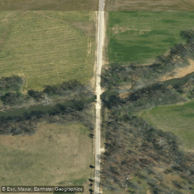
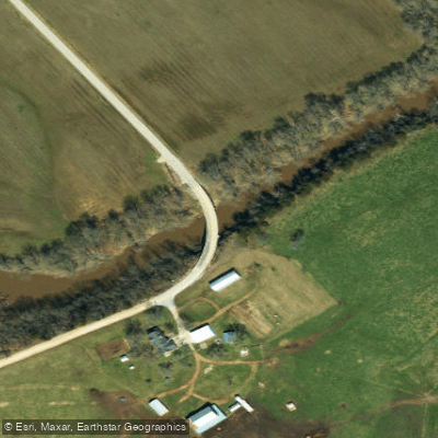
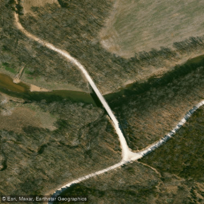
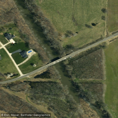
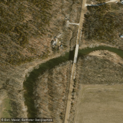
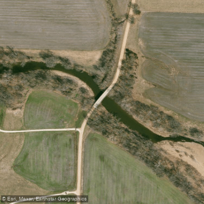
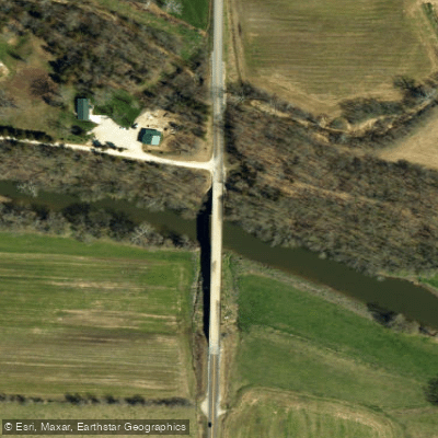
Learn how to get on North Moreau Creek. Uncover great paddling access points, boat ramps, and all the facilities you need for an unforgettable day on the water. Some locations shown may border or include private property. Always check property boundaries and applicable regulations before visiting. PaddleWays's Public & Private Land layer can help you plan your access with confidence.
Paddle smarter with real-time insights
Whether you're en route and conditions shift or you're looking for the best spot based on current flows, we enable you to make informed decisions on the fly.








Find Places to Paddle

Over 400,000 Places to Paddle
Every user gets free access to launch points, boat ramps, and public property parcels.


Water and weather conditions (10 day forecast)
See the best times to paddle North Moreau Creek and check the forecast before you go.
No forecast data available.
Paddling near North Moreau Creek

Missouri River
Osage River
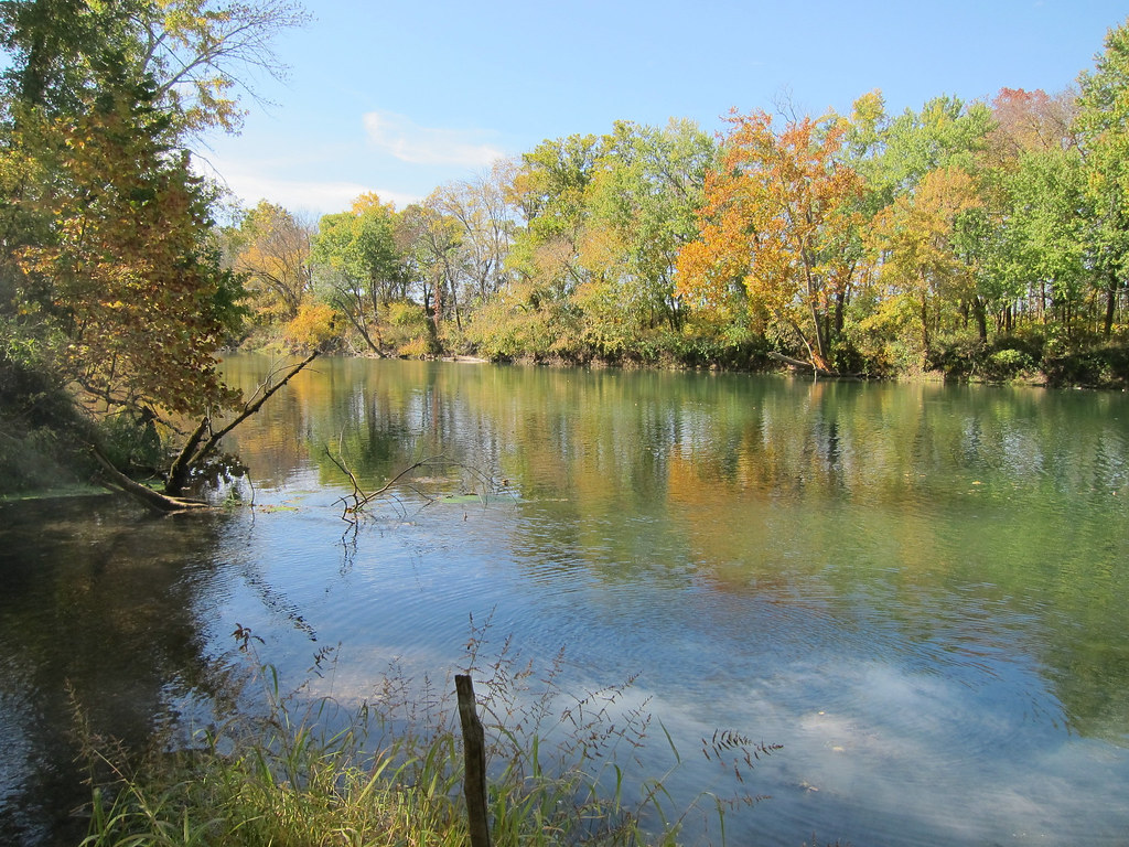
Gasconade River
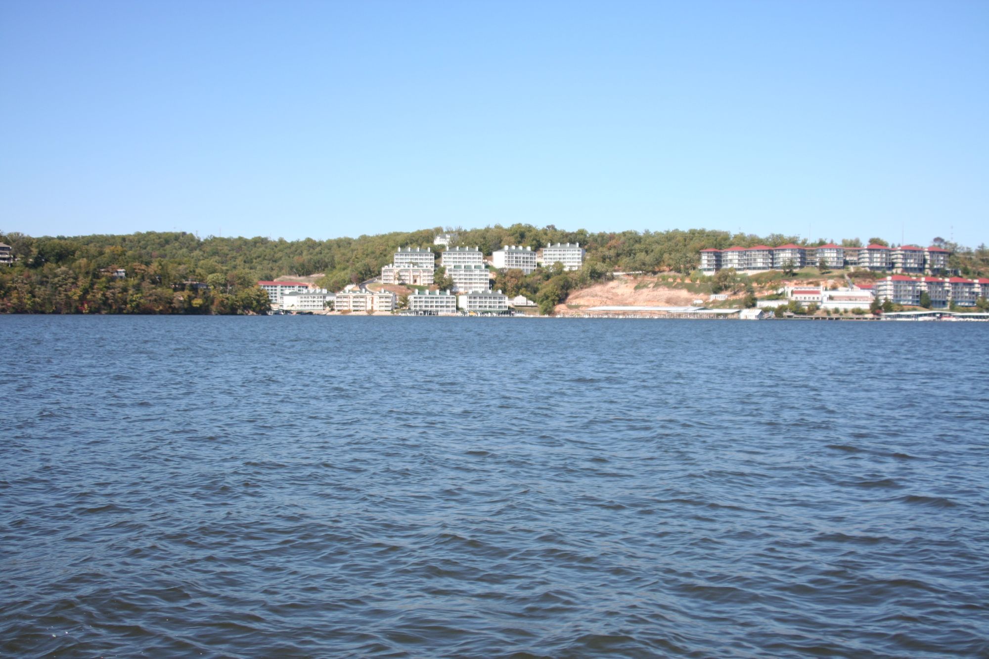
Lake of the Ozarks
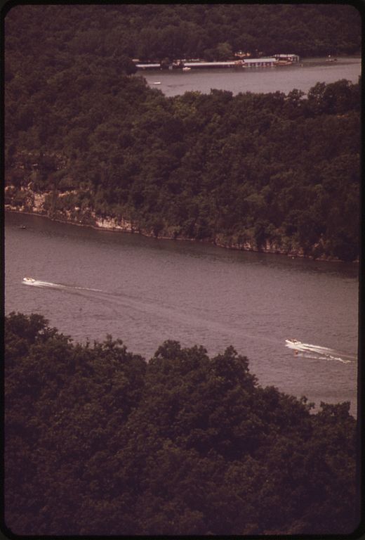
Niangua River
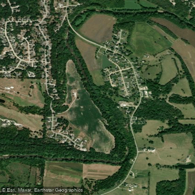
Moreau River
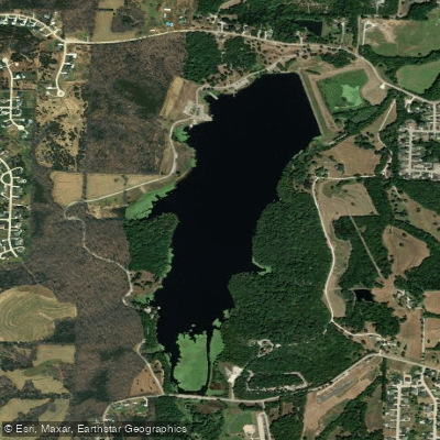
Binder Lake

Little Dixie Lake
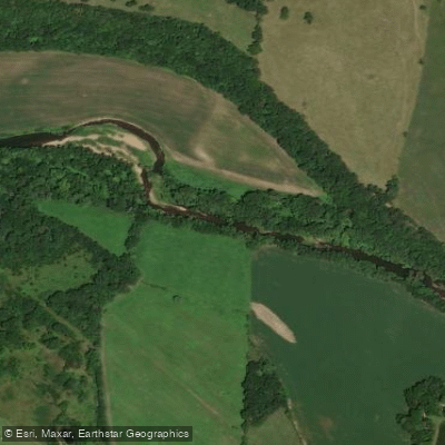
Moniteau Creek
Explore Missouri waters
Top paddling waters
Popular Cities
Loading popular cities...
Explore near North Moreau Creek
Access points
Nearby waters
More in Missouri

Smarter Paddling Starts in the App.
Paddleways gives you everything you need to plan smarter, paddle better, and own every trip from first launch to takeout.