Curated by PaddleWays
RouteClass II
- Distance
- 3.3 mi
- Paddle time
- ~1 hr
- Best for
- Beginners, intermediate paddlers
- Put-in → take-out
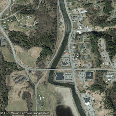
- Route 5 Bridge Access → Arnold Falls Hydro Dam Access
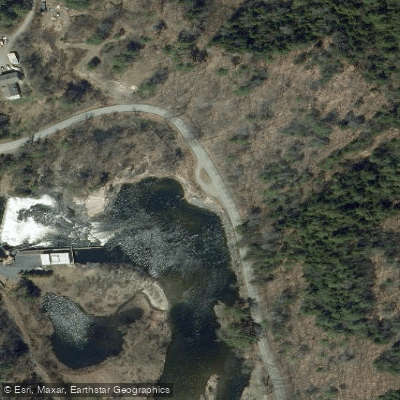
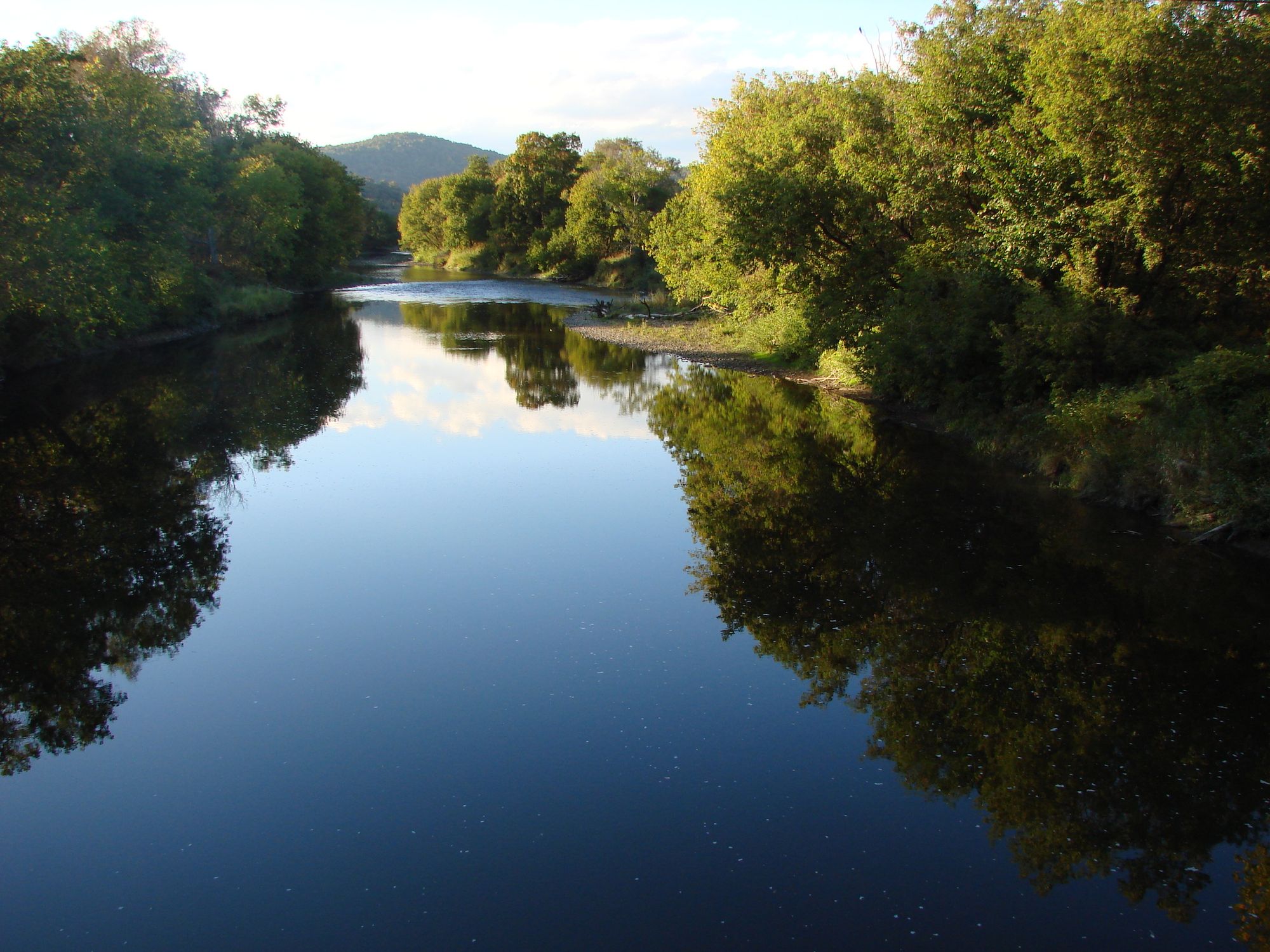
Arnold Falls Hydro Dam at the end
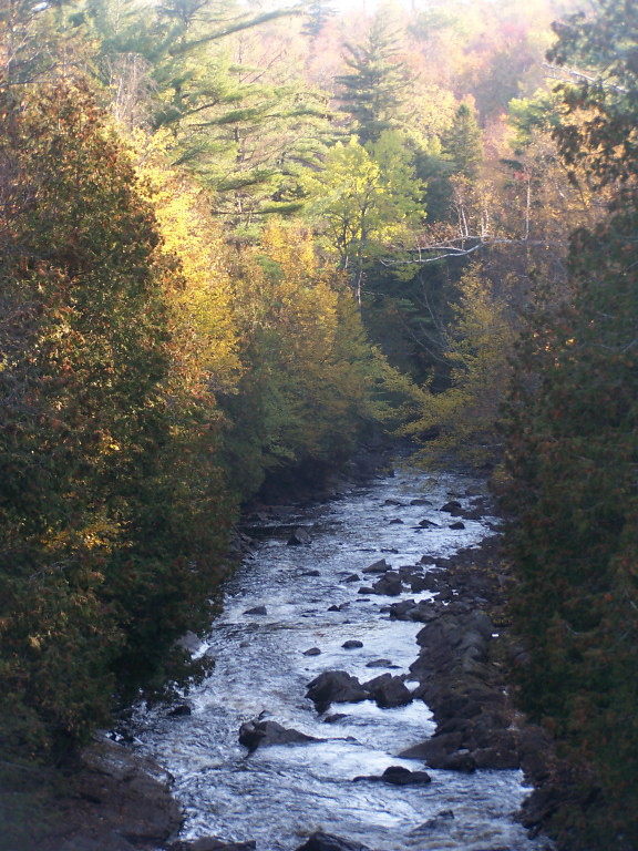
The Passumpsic River is a scenic 22.7-mile long tributary of the Connecticut River, flowing through Vermont's picturesque Northeast Kingdom. Originating in Essex County, the river flows generally south through Caledonia County before joining the Connecticut River in Barnet. Major tributaries include the East Branch, West Branch, and Moose River.
The Passumpsic offers diverse paddling opportunities for a range of skill levels. The upper reaches feature more challenging whitewater sections, while the lower river provides gentler flows suitable for novice paddlers. Popular runs include the East Branch from East Burke to the confluence, and the main stem from St. Johnsbury to Barnet. Overall difficulty ranges from flatwater to Class II-III rapids, with some dam portages required.
Spring snowmelt typically provides the best water levels for paddling, usually from April through early June. Summer and fall can offer pleasant conditions for flatwater sections, though water levels may be lower. The river valley showcases Vermont's natural beauty, with opportunities to spot wildlife like bald eagles, otters, and brook trout.
Key landmarks include the historic mill town of St. Johnsbury, scenic gorges, and a series of hydroelectric dams that punctuate the river's course. The impressive Passumpsic Valley esker, one of the longest in New England, extends along much of the river corridor.
Primary access points are found in East Burke, Lyndonville, St. Johnsbury, Passumpsic, and Barnet. The Passumpsic River Paddlers' Trail offers designated put-ins, take-outs, and primitive campsites for multi-day trips.
The river played a significant role in the region's industrial development, powering mills and factories in the 19th century. Today, it's valued for recreation, wildlife habitat, and as a cultural touchstone for Northeast Kingdom communities.
Paddlers should be aware of multiple dams requiring portages, and should check current water levels before trips. Cold water conditions in spring necessitate proper gear and preparation. Recent dam removals have improved river connectivity and habitat for native fish species. For those seeking a longer adventure, the Passumpsic can be combined with sections of the Connecticut River for multi-day journeys through Vermont's scenic river valleys.
Curated routes
Hand-picked by the PaddleWays team, with put-ins, take-outs, paddle times and the hazards along the way.
RouteClass II
RouteClass II–III
Hazards
No paddler has reported a hazard here yet, so these are the dams, falls and big rapids on our map. Hazards change with flows and storms, so check them before you launch.
From the community
Nobody has shared a trip on Passumpsic River yet. Paddle it, then tell the next paddler how it went.
See exactly where the public can get on and off the river. Launch points and boat ramps are paired with PaddleWays' public land data so you know where you can legally land.
Public shoreline
0%of the river's shoreline is public
Most of the riverbank is private. Launch, land and camp only at public access points.
Flows, weather and a route-by-route verdict, so you know which stretch of the Passumpsic River is worth paddling today.
Live flows, marked hazards and fresh trip reports from paddlers who were just on the water, all in one place.





Every user gets free access to launch points, boat ramps, and public property parcels.


Loading popular cities...
PaddleWays gives you everything you need to plan smarter, paddle better, and own every trip from first launch to takeout.