Curated by PaddleWays
RouteFlatwater
- Distance
- 1 mi
- Paddle time
- ~0.5 hrs
- Put-in & take-out
- Pawtuckaway State Park Boat Ramp
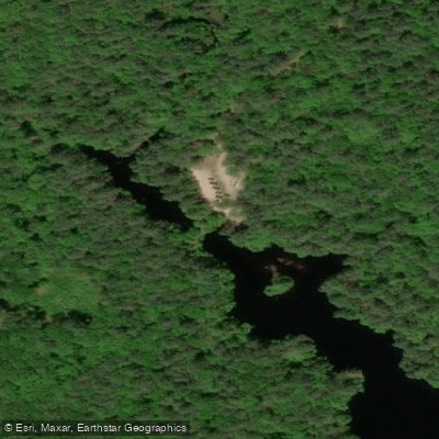
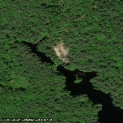
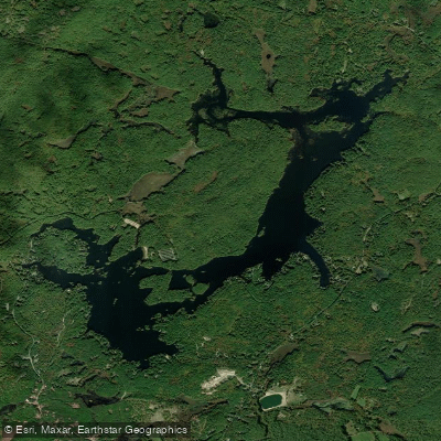
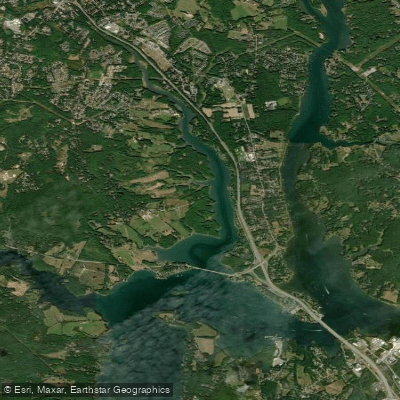
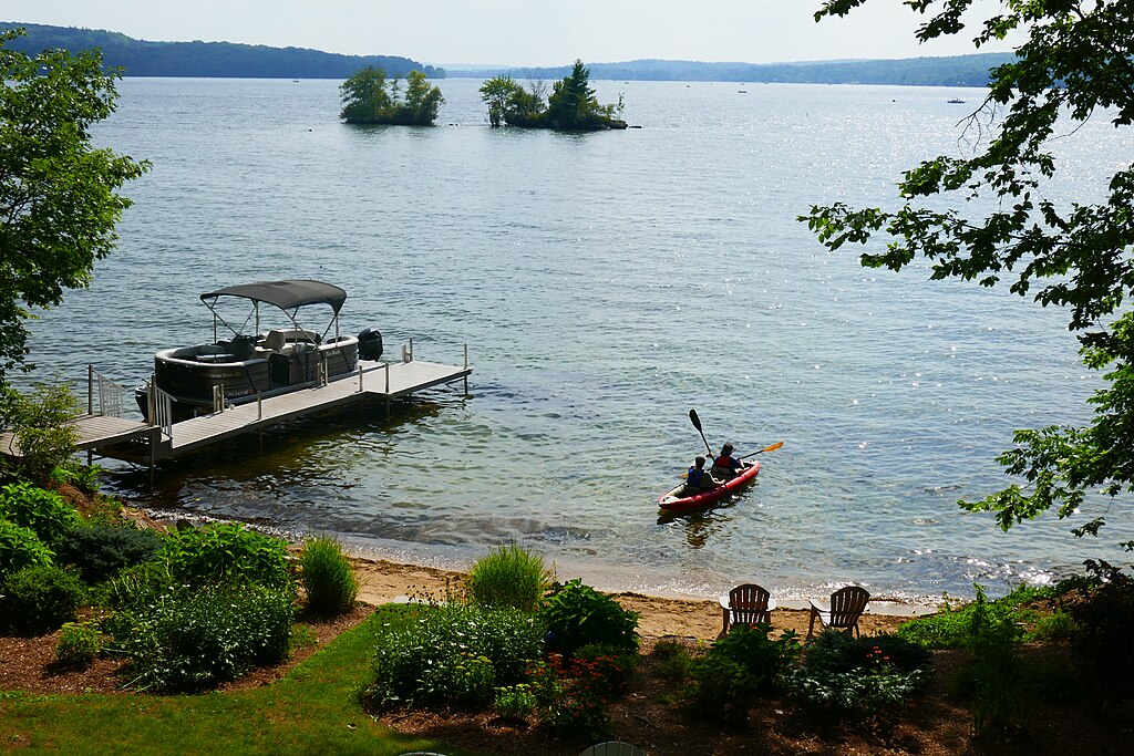
Pawtuckaway Lake in Nottingham, New Hampshire offers diverse paddling experiences across its 784 acres. The lake features a less developed northern end with Fundy Cove, providing quieter paddling opportunities, while the southern end is more developed with Pawtuckaway State Park.
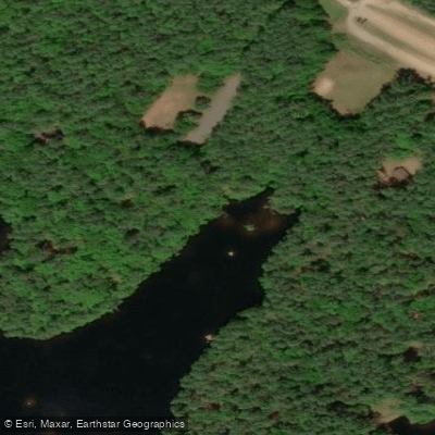
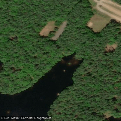
Access points include the Fundy Cove Boat Launch on the northern end and launches within Pawtuckaway State Park on the southern end. The Fundy Cove launch has a circular driveway, parking lot, and a lake host to inspect watercraft for invasive species. There is no fee to park or launch at Fundy Cove.
Paddlers should be aware of several hazards. Rocks at and just below the waterline pose risks, particularly in shallower areas. Motor boat traffic can be heavy on summer weekends and holidays. The lake is not recommended for paddling on windy days due to its size.
The lake has designated "No Wake" zones, including the entire Fundy area, both North and South Channels, and all coves, where boats must not exceed 6 mph. This regulation helps protect the lake's ecology and ensures safer conditions for paddlers.
A popular paddling route from Fundy Cove to the main beach area at Pawtuckaway State Park is approximately 3 miles (4.8 km) one-way. This route passes Log Cabin Island and offers views of the less developed shoreline.
Wildlife viewing opportunities include various turtle species, birds, and occasionally larger animals like moose or deer. The lake is known for its glacial erratic boulders, both visible and submerged, which add to its unique character.
Facilities for paddlers include an outhouse at the Fundy Cove launch and additional restrooms and changing facilities at the main beach in Pawtuckaway State Park. Boat rentals, including kayaks, are available within the state park.
For the best paddling experience, visit outside of holiday weekends. Late afternoons typically have less boat traffic. Fall offers quieter conditions and scenic foliage views. The lake's water is clean, with fairly shallow areas near the shore.
Curated routes
Hand-picked by the PaddleWays team, with put-ins, take-outs, paddle times and the hazards along the way.
RouteFlatwater
Hazards
No paddler has reported a hazard here yet, so these are the dams, falls and big rapids on our map. Hazards change with flows and storms, so check them before you launch.
From the community
Real trips from PaddleWays paddlers: which route they ran, how the water was, and what to watch for.
Loading trip reports
Matt C.
Matt C.
Matt C.
Matt C.
See exactly where the public can get on and off the water. Launch points and boat ramps are paired with PaddleWays' public land data so you know where you can legally land.
Public shoreline
0%of the lake's shoreline is public
Most of the shoreline is private. Launch, land and camp only at public access points.
Weather, wind and a verdict for each route, so you know if Pawtuckaway Pond is worth paddling today.
No forecast data available.
Live flows, marked hazards and fresh trip reports from paddlers who were just on the water, all in one place.





Every user gets free access to launch points, boat ramps, and public property parcels.

Loading popular cities...
PaddleWays gives you everything you need to plan smarter, paddle better, and own every trip from first launch to takeout.