Piscataqua River
- Saltwater
- Tidal river
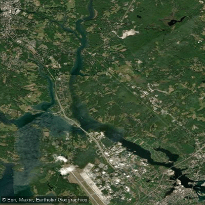
Piscataqua River
- Saltwater
- Tidal river
- Sq. miles
- 3.9
- Boat Ramps
- 5
- Access Points
- 0
- Campsites
- 2
The Piscataqua River is a major tidal river forming the border between New Hampshire and Maine at the coast. It is characterized by very strong currents, particularly in constricted areas like under the Little Bay Bridge in Dover and near the Portsmouth Harbor Lighthouse, where the incoming tide can create a current strong enough to hold a kayak at a standstill. These powerful currents, combined with significant boat traffic in the main channel around Portsmouth Harbor, make much of the river suitable only for experienced paddlers. For novices, calmer conditions can be found in protected back channels and coves, such as the area behind Pierce Island or Pepperell Cove. The river's conditions are heavily influenced by wind opposing the tidal current, which can build up substantial chop, especially in exposed areas. Planning a paddle here requires careful attention to tide charts and wind forecasts. Several public launch sites provide access. These include a boat ramp in Kittery, Maine, across from the Navy Yard, which is noted for having a milder current in its back channel. Other access points are at Odiorne State Park in New Hampshire, Hilton Park, and Pierce Island. A key safety consideration is to launch on the same side of a bridge as your intended paddling area, as paddling against the current under bridges like the Little Bay Bridge is not feasible. The river offers views of historical sites like the Portsmouth Naval Shipyard, lighthouses, and Fort Foster. Paddlers may also encounter working harbor traffic in Portsmouth. The recommended season for paddling is summer, from June through August.
Water access, boat ramps & amenities
Learn how to get on Piscataqua River. Uncover great paddling access points, boat ramps, and all the facilities you need for an unforgettable day on the water. Some locations shown may border or include private property. Always check property boundaries and applicable regulations before visiting. PaddleWays's Public & Private Land layer can help you plan your access with confidence.

Paddle smarter with real-time insights
Whether you're en route and conditions shift or you're looking for the best spot based on current flows, we enable you to make informed decisions on the fly.








Find Places to Paddle

Over 400,000 Places to Paddle
Every user gets free access to launch points, boat ramps, and public property parcels.


Tides, wind & water conditions (10 day forecast)
On open water, wind and tide matter as much as the weather. See the best times to paddle Piscataqua River and check the marine forecast before you launch.
Loading tide predictions…
Paddling near Piscataqua River
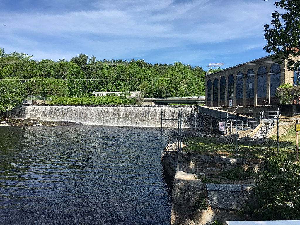
Salmon Falls River
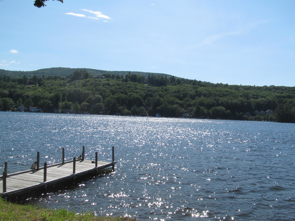
Lake Winnipesaukee
Lamprey River

Merrimack River
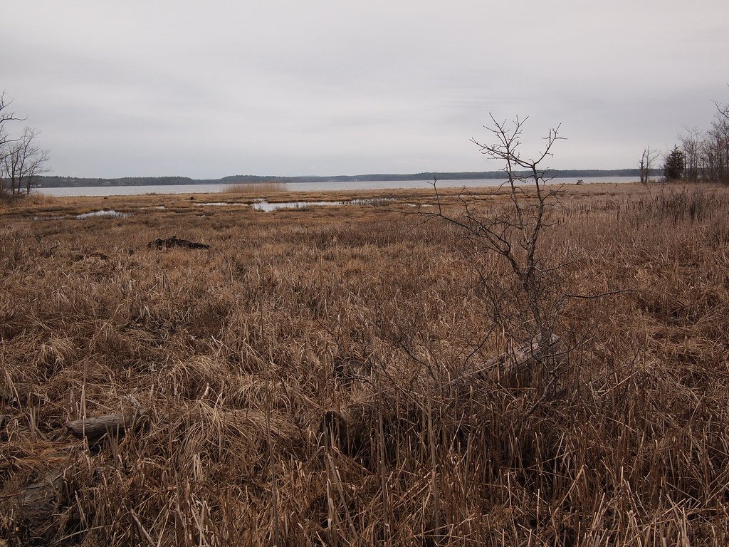
Great Bay
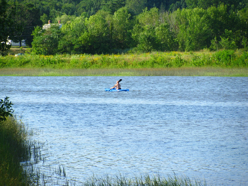
Squamscott River
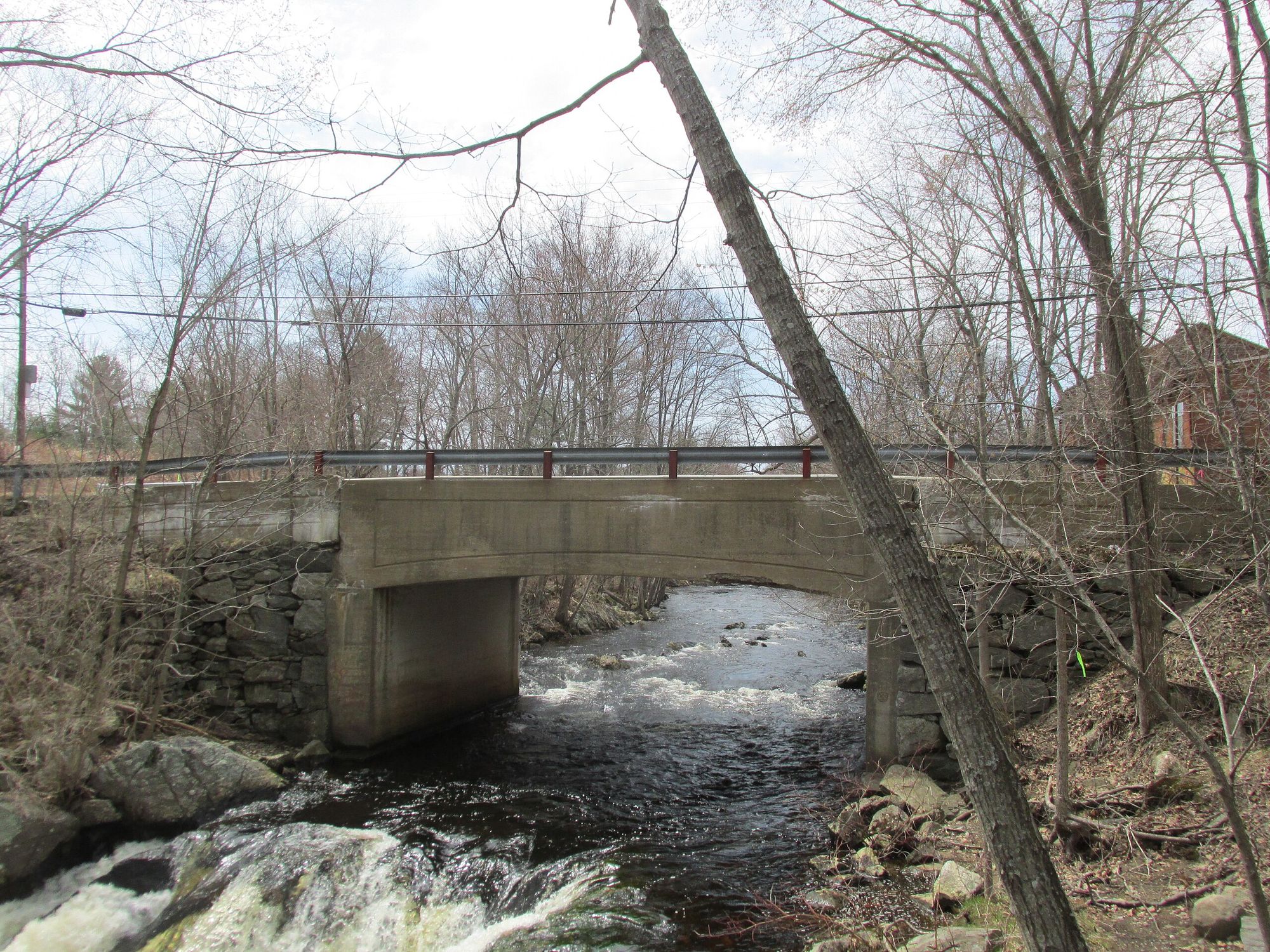
Exeter River
Bellamy River
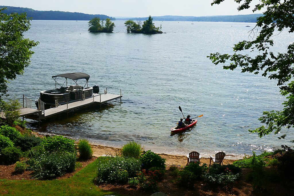
Lake Winnisquam
Explore New Hampshire waters
Top paddling waters
Popular Cities
Loading popular cities...
Explore near Piscataqua River
Access points
- Patterson Lane Boat Ramp
- Hilton Park Boat Ramp
- William A. Bray Memorial Park Boat Ramp
- Eliot Boat Basin Boat Ramp
- Pleasant Street Public Boat Ramp
- Salmon Falls River Bridge
- Salmon Falls River Bridge
- Piscataqua River Rr Bridge
- Piscataqua River Rte 103 Bridge
- Sturgeon Creek Bridge
- Cocheco River Bridge
- Piscataqua River Nh Road Bridge
- All 48 spots
Nearby waters
More in New Hampshire

Smarter Paddling Starts in the App.
Paddleways gives you everything you need to plan smarter, paddle better, and own every trip from first launch to takeout.