Curated by PaddleWays
RouteFlatwater
- Distance
- 1.1 mi
- Paddle time
- ~0.5 hrs
- Put-in & take-out
- Willand Pond Recreation Area Boat Ramp
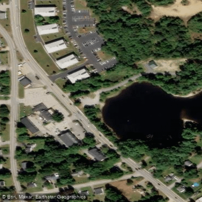
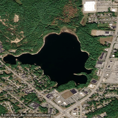
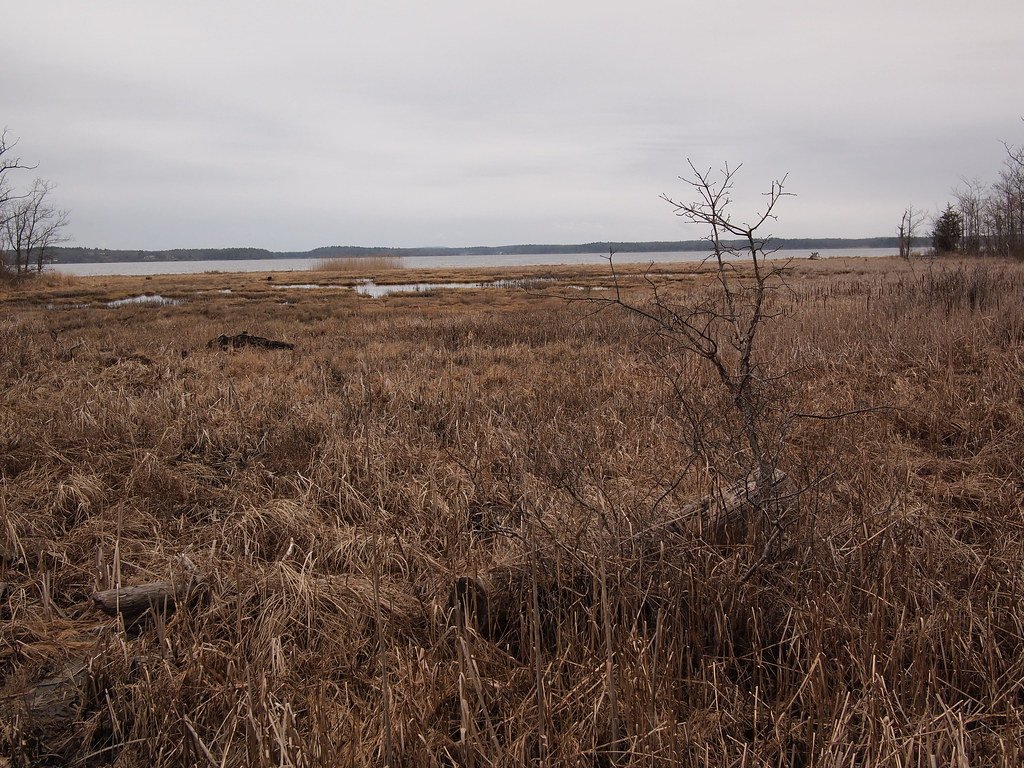
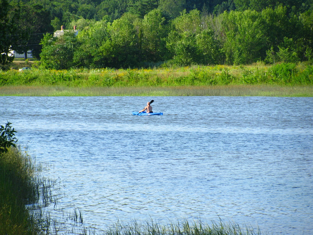
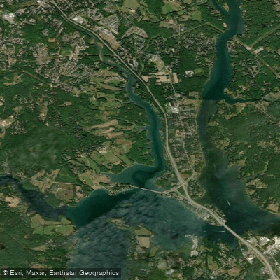
Willand Pond is a 66-acre water body straddling Dover and Somersworth, offering a peaceful paddling experience in an urban setting. The pond features an excellent cartop boat access ramp located off Route 108 across from Strafford Farms Restaurant in Dover, with free parking available.
Motor boats with internal combustion engines are strictly prohibited, with fines up to $1,000 for violations. This restriction creates ideal conditions for calm-water paddling, particularly suitable for families and those practicing kayaking skills. The pond's modest size makes it better suited for relaxed exploration than lengthy excursions.
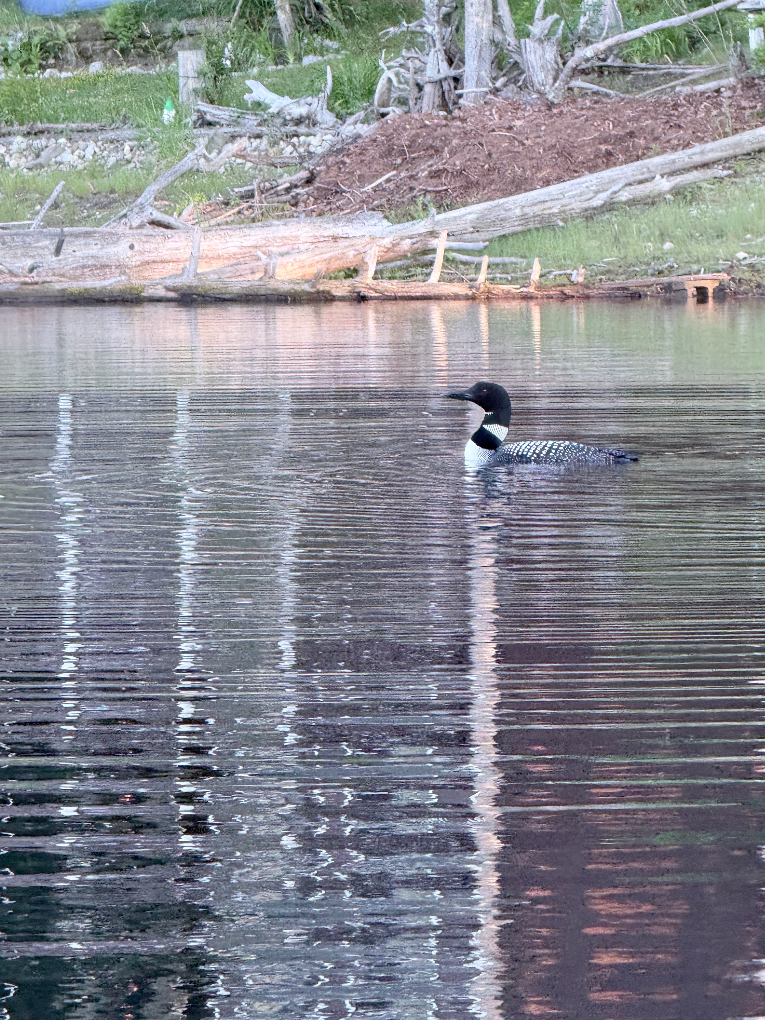
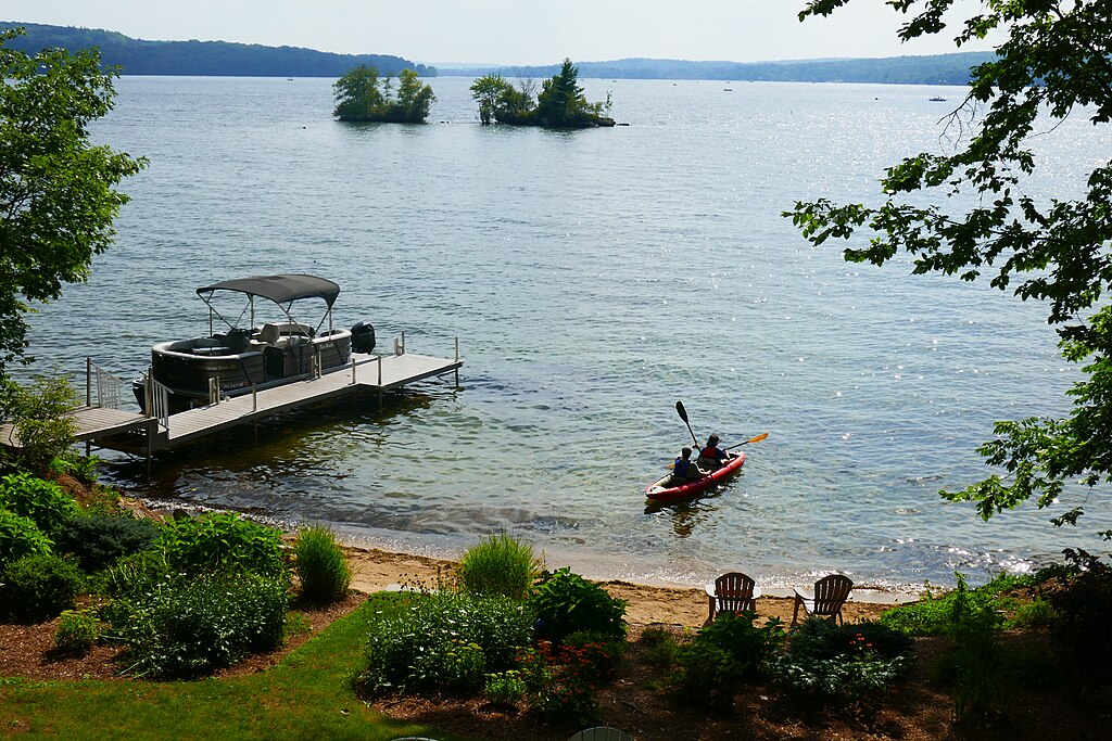
The shoreline is predominantly wooded, creating a natural buffer from the surrounding commercial development. Wildlife viewing opportunities include bald eagles, herons, geese, ducks, turtles, and frogs. The New Hampshire Fish and Game Department maintains the pond and stocks it with rainbow trout, adding to its recreational value.
Facilities include a boat launch, wheelchair-accessible areas, and several wooden platforms along the shoreline with benches for resting. A mile-long trail partially circles the pond, though it does not complete a full loop. The pond is open from 7am to 9:30pm during the main season (April 1 to September 30).
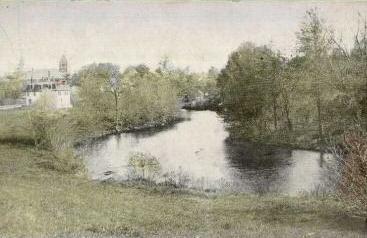
Historically, Willand Pond was known as Humphrey's Pond in the 18th century and later became a popular recreation area called Central Park (also known as Burgett Park) during the trolley car era, complete with dance halls, a casino, and boating facilities. Today, it serves as a quiet natural refuge between two busy highways.
The EPA conducts regular water quality monitoring at the pond. Some areas, particularly near the peninsula on the Somersworth side, have occasional issues with litter.
Curated routes
Hand-picked by the PaddleWays team, with put-ins, take-outs, paddle times and the hazards along the way.
RouteFlatwater
Hazards
No hazards are marked on Willand Pond yet. That is not the same as none being there: if you find one, report it for the next paddler.
From the community
Real trips from PaddleWays paddlers: which route they ran, how the water was, and what to watch for.
Loading trip reports

Kera I.
See exactly where the public can get on and off the water. Launch points and boat ramps are paired with PaddleWays' public land data so you know where you can legally land.
Public shoreline
0%of the lake's shoreline is public
Most of the shoreline is private. Launch, land and camp only at public access points.
Weather, wind and a verdict for each route, so you know if Willand Pond is worth paddling today.
No forecast data available.
Live flows, marked hazards and fresh trip reports from paddlers who were just on the water, all in one place.





Every user gets free access to launch points, boat ramps, and public property parcels.

Loading popular cities...
PaddleWays gives you everything you need to plan smarter, paddle better, and own every trip from first launch to takeout.