Boyd Millpond
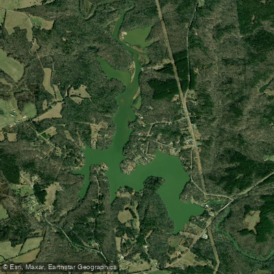
Boyd Millpond
- Boat Ramps
- 1
- Access Points
- 1
- Campsites
- 0
Boyd Millpond is a 185-acre lake on the Reedy River, located 5 miles east of Ware Shoals, South Carolina. The primary access point is Karl H. Dixon Memorial Park, which features a concrete boat ramp, restroom facilities, playground, walking trails (0.4 miles), and a large paved parking area with handicap-accessible spots. The park is open from 7 AM to 9 PM in summer and 7 AM to 7 PM in winter.
The lake experience is characterized by flat water paddling with no rapids. Motorized boats are permitted but restricted to speeds under 15 MPH, and pontoons and jet skis are prohibited. The upper end of the lake is notably shallow, and paddlers should exercise caution due to river debris that can accumulate.
Wildlife viewing opportunities include various waterfowl species, blue herons, and ospreys. The majority of the shoreline remains undeveloped, though there has been recent construction of some large homes along portions of the lake.
A dam forms the lake's southern boundary, and there is no portage available around it. For paddlers traveling downstream on the Reedy River, Boyd Millpond represents the last accessible section before Lake Greenwood. The lake is part of the larger Reedy River system, which has seen significant water quality improvements over the past several decades.
For those interested in longer trips, paddlers can put in at Charlie Lollis Memorial Park upstream and take out at Karl H. Dixon Memorial Park. This section offers a lake-like paddling experience as the Reedy River enters Boyd Millpond. The lake is particularly known for largemouth bass and catfish fishing opportunities, which may interest paddlers who also fish.
To access Karl H. Dixon Memorial Park from Highway 252, turn north onto Boyd's Mill Pond Road and drive 1.08 miles to find the park entrance on the left.
Water access, boat ramps & amenities
Learn how to get on Boyd Millpond. Uncover great paddling access points, boat ramps, and all the facilities you need for an unforgettable day on the water. Some locations shown may border or include private property. Always check property boundaries and applicable regulations before visiting. PaddleWays's Public & Private Land layer can help you plan your access with confidence.
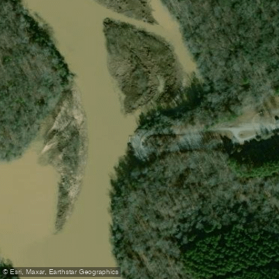
Paddle smarter with real-time insights
Whether you're en route and conditions shift or you're looking for the best spot based on current flows, we enable you to make informed decisions on the fly.








Find Places to Paddle

Over 400,000 Places to Paddle
Every user gets free access to launch points, boat ramps, and public property parcels.


Water and weather conditions (10 day forecast)
See the best times to paddle Boyd Millpond and check the forecast before you go.
No forecast data available.
Paddling near Boyd Millpond

Saluda River

Savannah River

French Broad River

Broad River
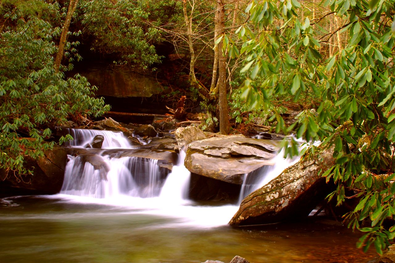
Davidson River
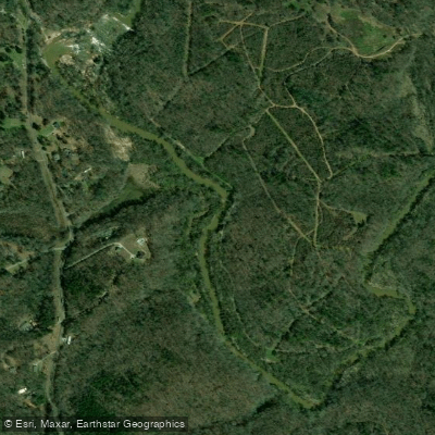
Reedy River
Enoree River
Lake Greenwood
Lake Cunningham
Saluda Lake
Explore South Carolina waters
Top paddling waters
Popular Cities
Loading popular cities...
Explore near Boyd Millpond

Smarter Paddling Starts in the App.
Paddleways gives you everything you need to plan smarter, paddle better, and own every trip from first launch to takeout.