Cedar Creek
Cedar Creek
- Boat Ramps
- 2
- Access Points
- 2
- Campsites
- 5
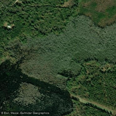
Cedar Creek flows through the heart of Congaree National Park in Richland County, South Carolina, serving as the only Outstanding National Resource Water in the state. This blackwater stream originates near the confluence of Cedar Creek and Myers Creek at Bannister Bridge off Old Bluff Road, then winds approximately 15-17 miles southeast through pristine bottomland hardwood forest before joining the Congaree River via Mazyck's Cut.
The creek's character transforms dramatically along its course. Beginning narrow and swift at Bannister Bridge, Cedar Creek gradually widens as it meanders through cypress-tupelo swamps and past towering loblolly pines exceeding 160 feet. The waterway passes through both second-growth and old-growth forest sections, with the Beidler Tract boundary marking a transition to some of the most significant old-growth bottomland hardwood forest remaining in the United States.
Paddlers can access Cedar Creek at two primary locations: Bannister Bridge (Mile 0, GPS N 33.8405 W 80.8600) and South Cedar Creek Landing (Mile 6, GPS N 33.8186 W 80.7861) off South Cedar Creek Road near Gadsden. The upper section from Bannister Bridge to South Cedar Creek Landing offers a 6.2-mile journey requiring 4-6 hours depending on water levels and obstacles. This section presents intermediate challenges due to fallen trees requiring portage, particularly when water levels drop below 4 feet on the Cedar Creek gage. From South Cedar Creek Landing, paddlers can explore upstream or downstream as out-and-back trips, or continue the full 20-mile journey to Bates Bridge Landing on Highway 601—a strenuous single-day paddle or ideal overnight expedition.
The middle section features Dawson's Lake, a popular fishing spot named for Col. Francis W. Dawson, and passes landmarks including Wise Lake, accessible from the Oakridge Trail. The lower reaches traverse entirely through old-growth forest, passing Elder Lake (named for conservationist James V. Elder) and historic sites including the former national champion sweetgum near Hurricane Gut.
Optimal paddling occurs when water levels exceed 4 feet on the Cedar Creek gage, typically during winter and spring months. Summer and fall bring lower water levels, increased obstacles, and significant mosquito populations requiring 100% DEET repellent. Brown watersnakes commonly bask on overhanging branches, while river otters, wood ducks, barred owls, and prothonotary warblers frequent the corridor. The creek supports diverse fish populations including pirate perch, redfin pickerel, and banded pygmy sunfish.
Backcountry camping permits are required for overnight trips and available free from the Harry Hampton Visitor Center. The park maintains trail markers approximately every quarter-mile, though high water can obscure channels and create navigation challenges. Paddlers should check current conditions at (803) 776-4396 before departure, as water levels can fluctuate rapidly due to upstream conditions and local surface water withdrawals.
Water access, boat ramps & amenities
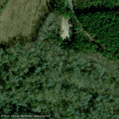
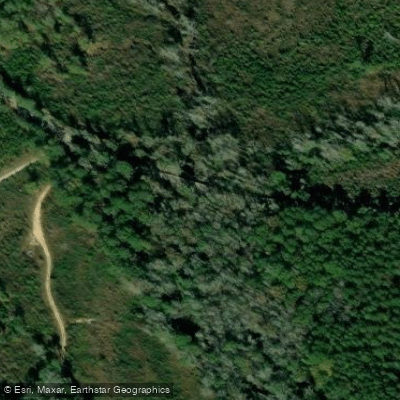
Learn how to get on Cedar Creek. Uncover great paddling access points, boat ramps, and all the facilities you need for an unforgettable day on the water. Some locations shown may border or include private property. Always check property boundaries and applicable regulations before visiting. PaddleWays's Public & Private Land layer can help you plan your access with confidence.
Paddle smarter with real-time insights
Whether you're en route and conditions shift or you're looking for the best spot based on current flows, we enable you to make informed decisions on the fly.








Find Places to Paddle

Over 400,000 Places to Paddle
Every user gets free access to launch points, boat ramps, and public property parcels.


Water and weather conditions (10 day forecast)
See the best times to paddle Cedar Creek and check the forecast before you go.
CEDAR CREEK AT CONGAREE NP NEAR GADSDEN, SC
Paddling near Cedar Creek
Lake Marion
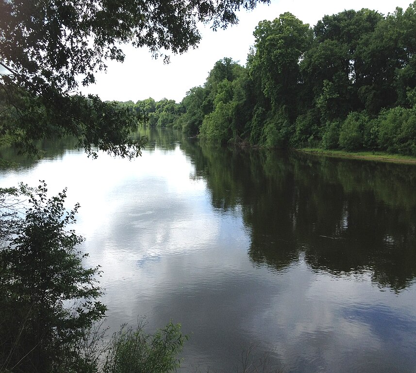
Wateree River

Broad River

Saluda River
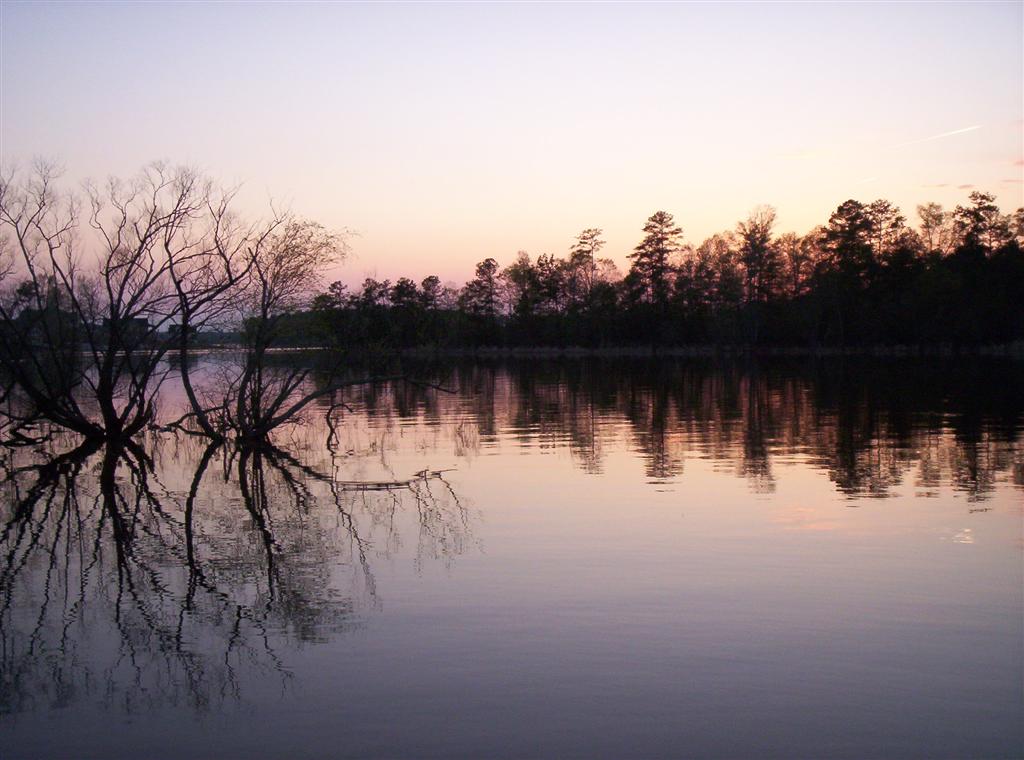
Lake Murray
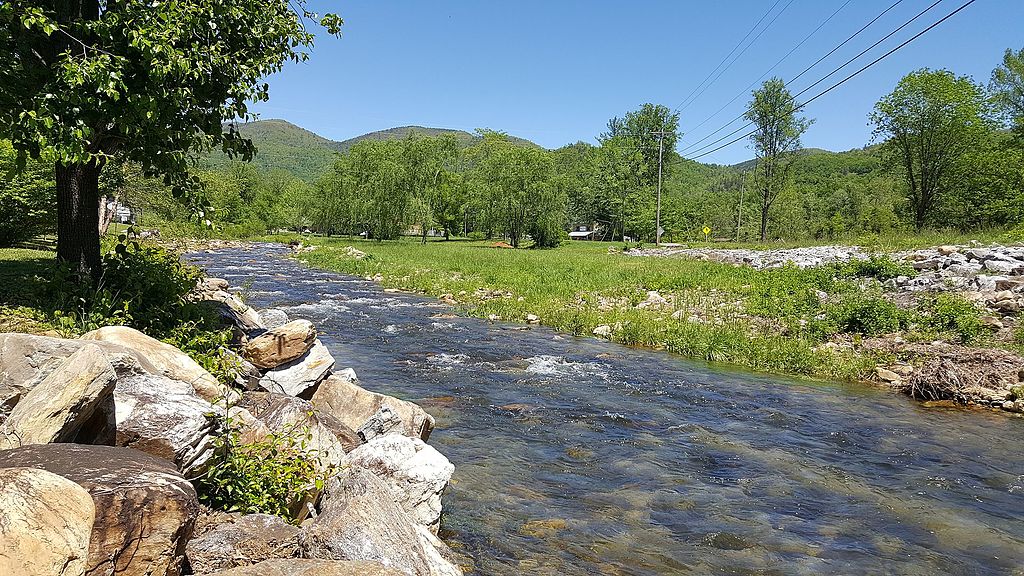
Catawba River
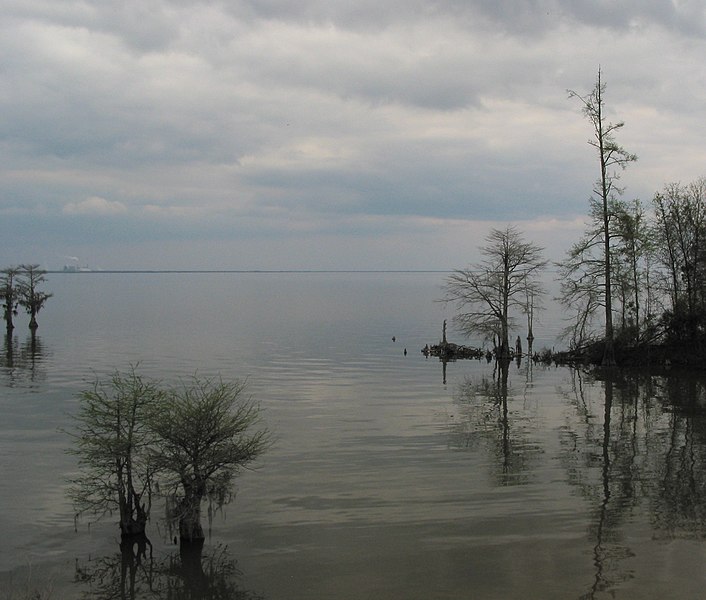
Lake Moultrie
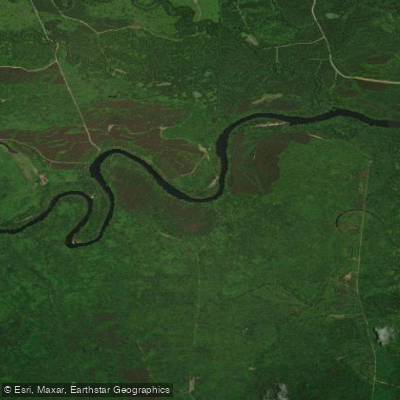
Santee River
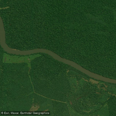
Congaree River
Explore South Carolina waters
Top paddling waters
Popular Cities
Loading popular cities...
Explore near Cedar Creek
Access points
Nearby waters
More in South Carolina

Smarter Paddling Starts in the App.
Paddleways gives you everything you need to plan smarter, paddle better, and own every trip from first launch to takeout.