Lynches River
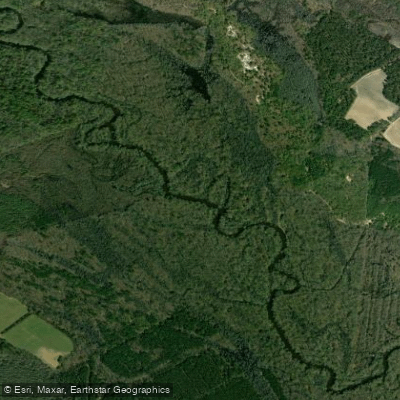
Lynches River
- Boat Ramps
- 12
- Access Points
- 13
- Campsites
- 0
The Lynches River is a scenic waterway that originates near Waxhaw, North Carolina at about 700 feet elevation, flowing southeast into South Carolina where it joins the Great Pee Dee River near Johnsonville. Stretching approximately 140 miles in total length, the Lynches River drains a watershed of over 1,000 square miles in the Pee Dee region of South Carolina. A 111-mile section from US Highway 15 in Lee County to its confluence with the Great Pee Dee is designated as a State Scenic River, offering paddlers a journey through diverse lowland landscapes.
The river winds through the heart of the Pee Dee Country, providing excellent opportunities for canoeing, kayaking, fishing, and wildlife observation. Paddling difficulty ranges from flatwater to mild rapids, making it suitable for beginners to intermediate paddlers. The river is best paddled in spring and fall when water levels are optimal. Summer can bring low water conditions and winter may see higher, swifter flows.
Notable flora includes cypress, tupelo, and various hardwoods lining the banks. Wildlife such as river otters, turtles, and a variety of birds can be spotted along the route. The river ecosystem supports diverse aquatic life, making it popular among anglers.
Key access points include Lee State Park, Lynches River County Park, and various public landings distributed along the river. The 676-acre Lynches River County Park, located between Florence and Lake City, serves as a central hub for river activities with boat rentals and a handicap-accessible launch.
Historically, the river played a role in the American Revolution, with General Francis Marion using the swampy confluence area with the Great Pee Dee as a hideout. This historical significance is commemorated by the 66-mile Revolutionary Rivers National Water Trail designation.
Popular paddling sections include the 5-mile stretch from Lynches River County Park to Highway 52 Landing, ideal for beginners, and the 11-12 mile route from Highway 52 to Indigo Landing. For more adventurous paddlers, multi-day trips can cover longer stretches of the scenic river designation.
Safety considerations include occasional log jams and varying water levels. Paddlers should be aware of weather conditions and bring appropriate safety gear. Some sections may require portaging around obstacles, especially after storms.
The Lynches River offers a serene paddling experience through South Carolina's lowcountry, combining natural beauty, wildlife encounters, and historical intrigue in one of the state's most cherished waterways.
Water access, boat ramps & amenities
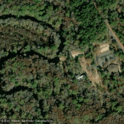
Learn how to get on Lynches River. Uncover great paddling access points, boat ramps, and all the facilities you need for an unforgettable day on the water. Some locations shown may border or include private property. Always check property boundaries and applicable regulations before visiting. PaddleWays's Public & Private Land layer can help you plan your access with confidence.
Paddle smarter with real-time insights
Whether you're en route and conditions shift or you're looking for the best spot based on current flows, we enable you to make informed decisions on the fly.








Find Places to Paddle

Over 400,000 Places to Paddle
Every user gets free access to launch points, boat ramps, and public property parcels.


Water and weather conditions (10 day forecast)
See the best times to paddle Lynches River and check the forecast before you go.
LYNCHES RIVER NEAR BISHOPVILLE, SC
All Flow Stations
Paddling near Lynches River
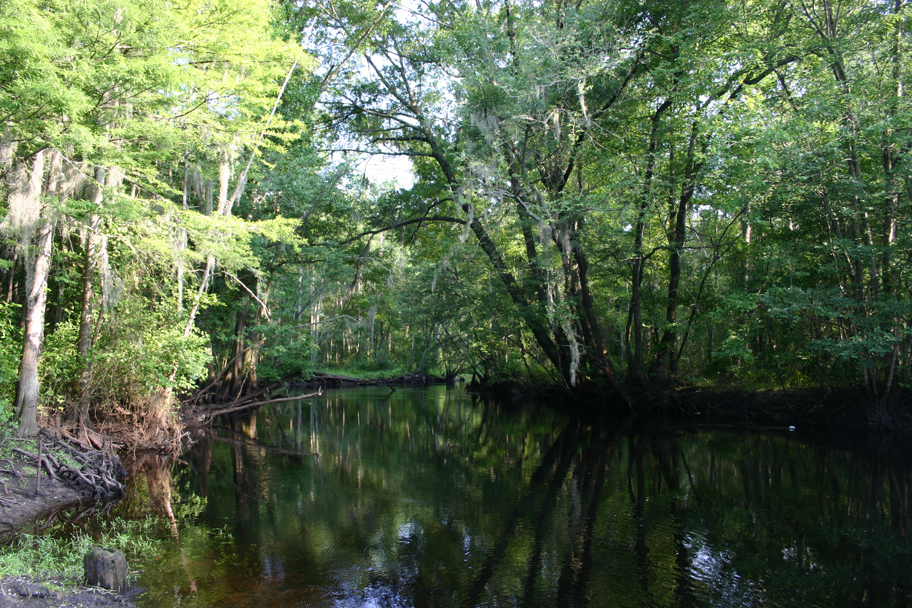
Little Pee Dee River
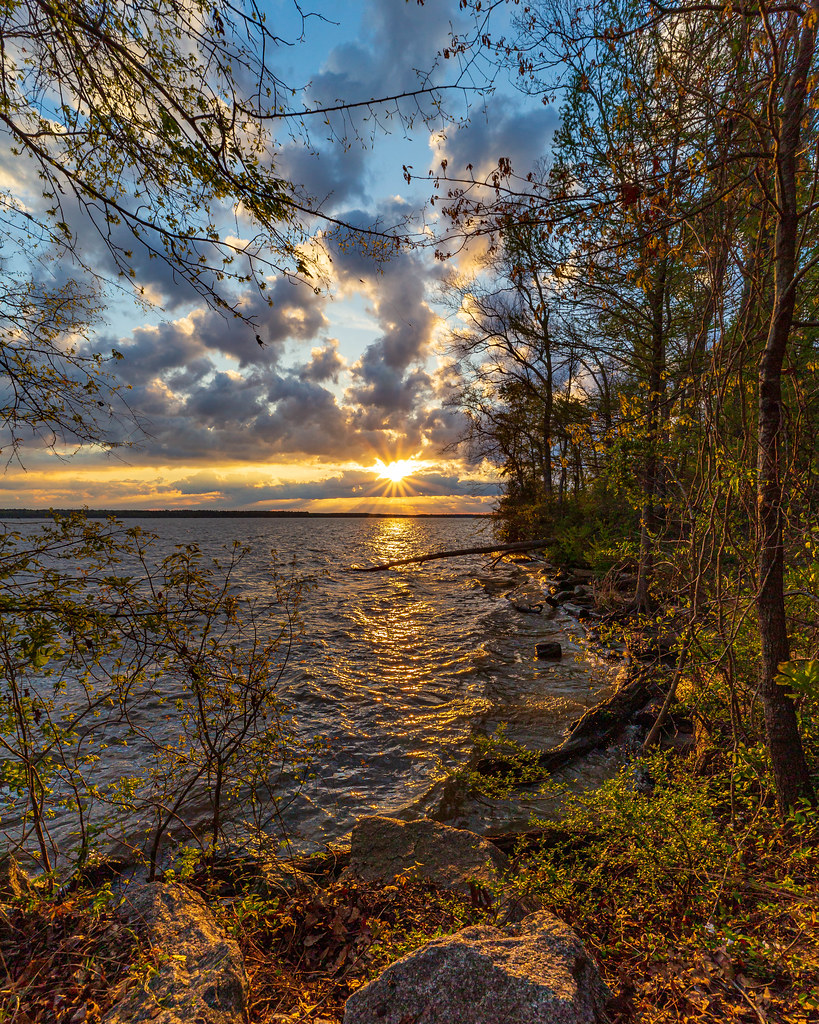
Lake Marion
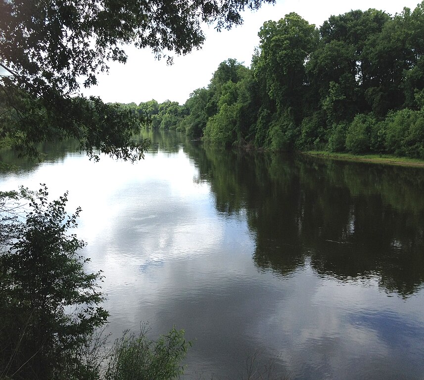
Wateree River
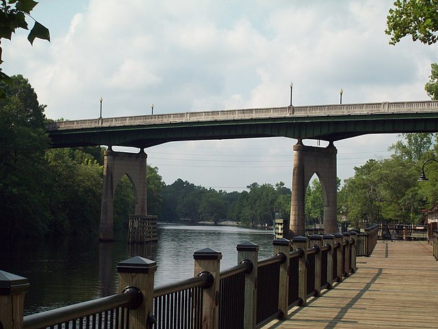
Waccamaw River
Great Pee Dee River
Lowthers Lake
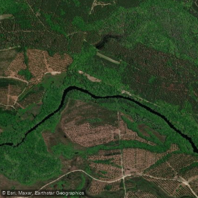
Black River
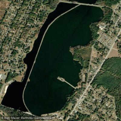
Lake Wallace
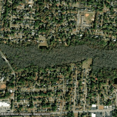
Jeffries Creek
Explore South Carolina waters
Top paddling waters
Popular Cities
Loading popular cities...
Explore near Lynches River
Access points
Nearby waters
More in South Carolina

Smarter Paddling Starts in the App.
Paddleways gives you everything you need to plan smarter, paddle better, and own every trip from first launch to takeout.