Salado Creek
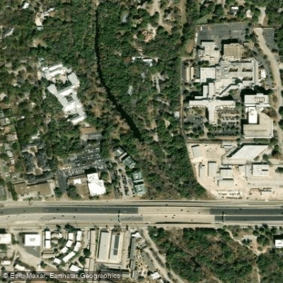
Salado Creek
- Boat Ramps
- 15
- Access Points
- 15
- Campsites
- 0
Salado Creek originates in the northern reaches of Bexar County near Camp Bullis, flowing approximately 38 serpentine miles southward through the eastern side of San Antonio before joining the San Antonio River just south of Loop 410. This tributary system drains a watershed of 219 square miles entirely within Bexar County, making it a significant hydrological feature of the region.
The creek's name, bestowed by Spanish military commander Domingo Ramón during an early 18th-century expedition, reflects its historical importance to the area's settlement. During the late 19th century, farmers reported Salado Creek as a reliable waterway abundant with fish and waterfowl, though subsequent droughts and Edwards Aquifer well-drilling caused periodic flow reductions. The 1912 drilling of the Farmer's Well provided supplemental flow for decades until its controversial plugging in 1991, which eliminated a critical baseflow source. Since 2001, recycled water discharge from San Antonio Water System facilities near Rittiman Road has restored reliable flow to portions of the creek.
The watershed encompasses primarily developed land (65.8%), with forest and shrubland covering an additional 17.7%. The creek flows through varied terrain including the Texas Northern Blackland Prairies, East Central Texas Plains, and Edwards Plateau ecoregions. Riparian vegetation includes bluestem, eastern gamagrass, oak, elm, mesquite, hackberry, eastern cottonwood, and pecan. Wildlife includes deer, songbirds, waterfowl, and various aquatic species.
Water quality monitoring conducted by Texas Stream Team volunteers since 1992 reveals ongoing challenges. The creek appears on EPA's list of impaired waterbodies for depressed dissolved oxygen and bacteria, with additional concerns about fish and macrobenthic communities. Several monitoring sites show average dissolved oxygen levels below the 5.0 mg/L standard, and discrete measurements occasionally exceed temperature and total dissolved solids thresholds.
Recreation opportunities have expanded significantly through flood control improvements and linear park development. The San Antonio River Authority has constructed multiple flood control dams in the watershed, several positioned to enhance Edwards Aquifer recharge. By 2015, over 18 miles of the Salado Creek Greenway trail system provided hiking and biking access, connecting numerous city parks including Comanche Park, McAllister Park, and areas near Loop 410. These trails link residential neighborhoods to natural areas while offering interpretation of the creek's ecological and historical significance.
Access points include multiple city parks along the greenway system, with South Side Lion's Park providing particularly popular access near the confluence with the San Antonio River. The watershed supports both recreational use and serves as an important ecological corridor through San Antonio's urban landscape.
Water access, boat ramps & amenities
Learn how to get on Salado Creek. Uncover great paddling access points, boat ramps, and all the facilities you need for an unforgettable day on the water. Some locations shown may border or include private property. Always check property boundaries and applicable regulations before visiting. PaddleWays's Public & Private Land layer can help you plan your access with confidence.
Paddle smarter with real-time insights
Whether you're en route and conditions shift or you're looking for the best spot based on current flows, we enable you to make informed decisions on the fly.








Find Places to Paddle

Over 400,000 Places to Paddle
Every user gets free access to launch points, boat ramps, and public property parcels.


Water and weather conditions (10 day forecast)
See the best times to paddle Salado Creek and check the forecast before you go.
Salado Ck at Blanco Rd, San Antonio, TX
All Flow Stations
Paddling near Salado Creek
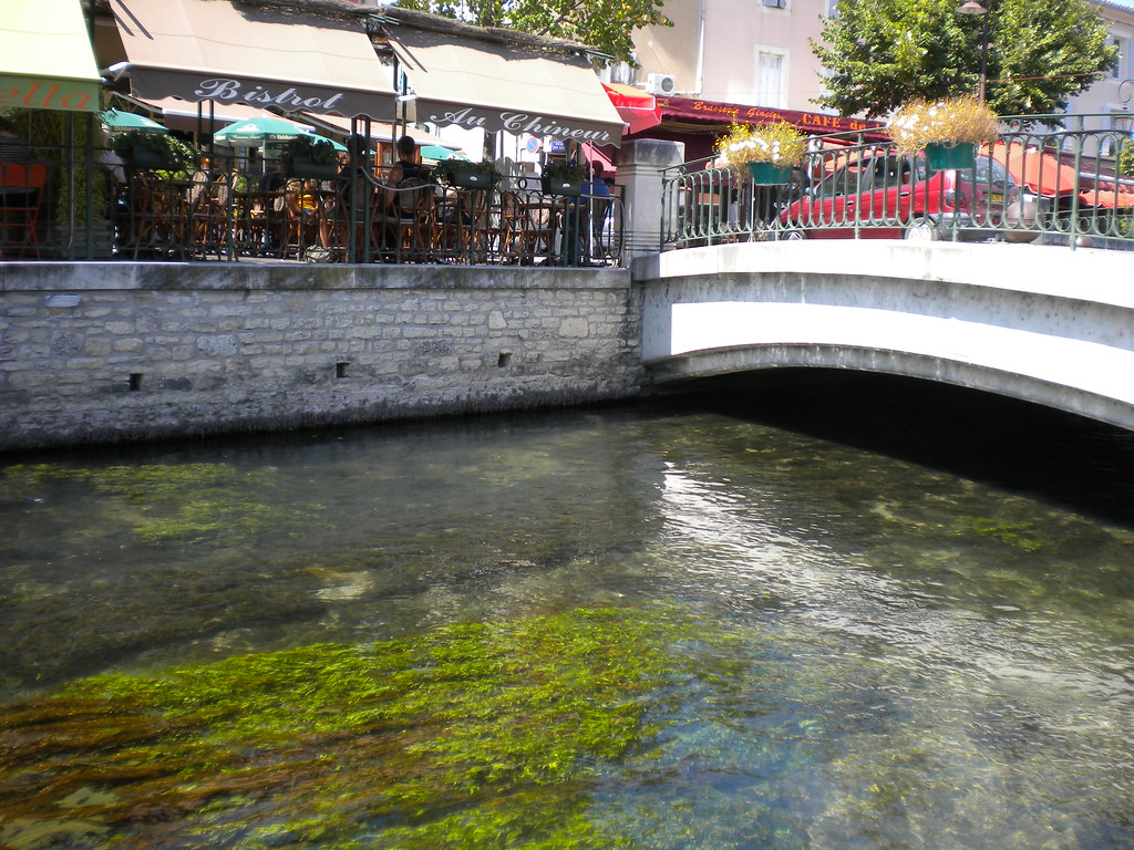
San Antonio River
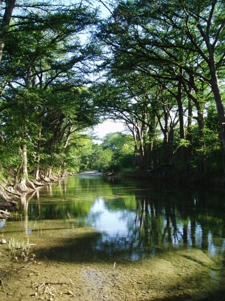
Medina River
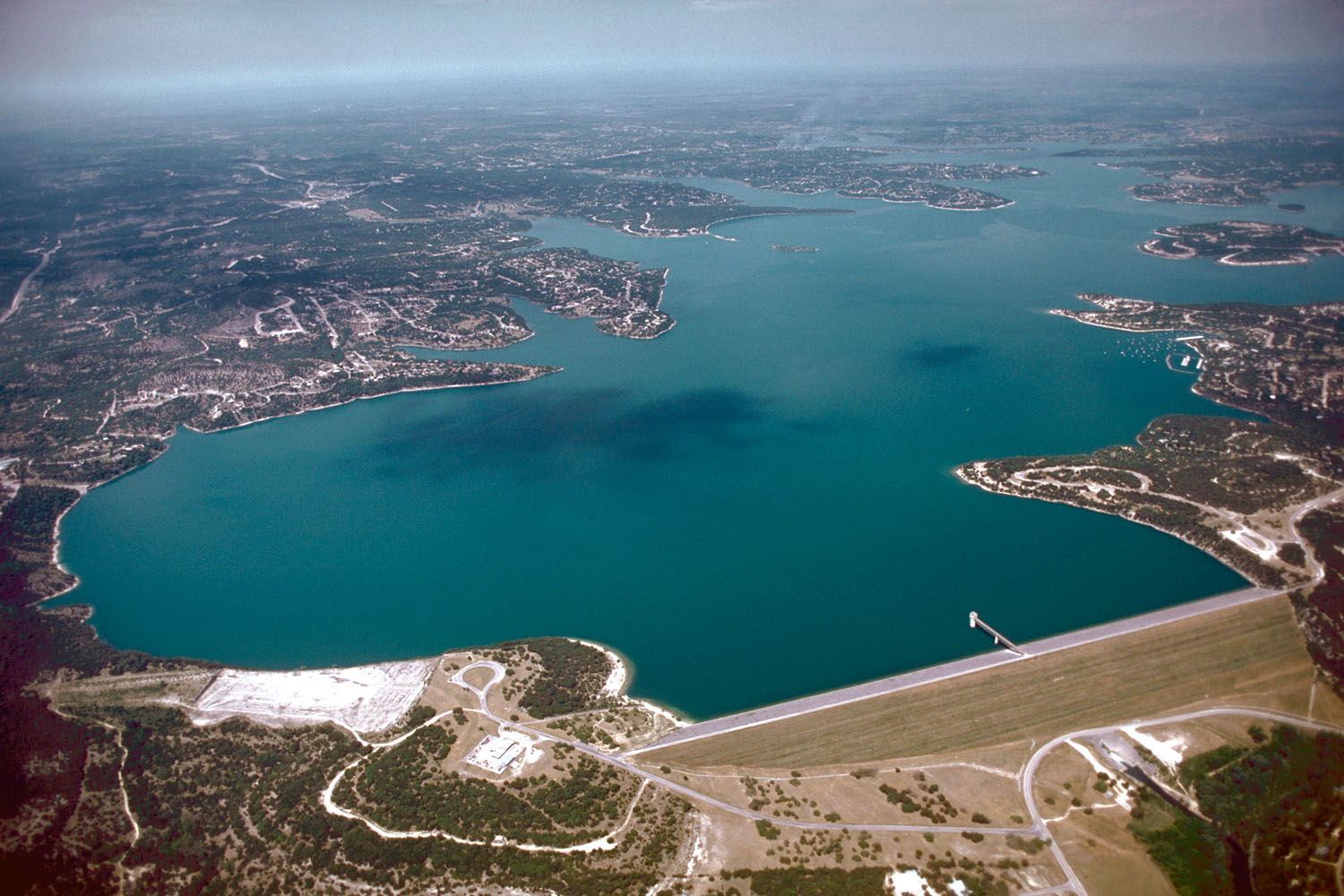
Canyon Lake
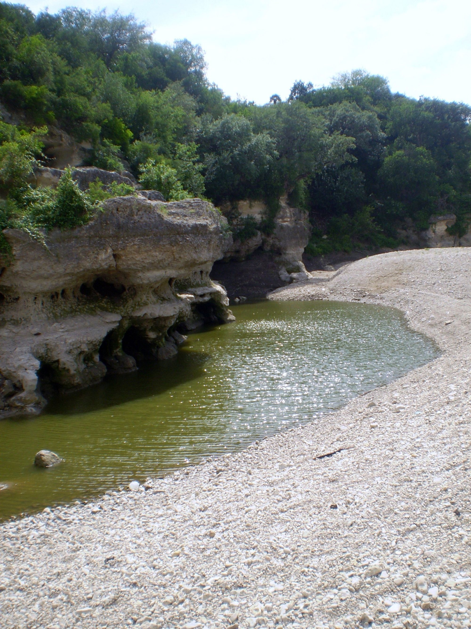
Cibolo Creek
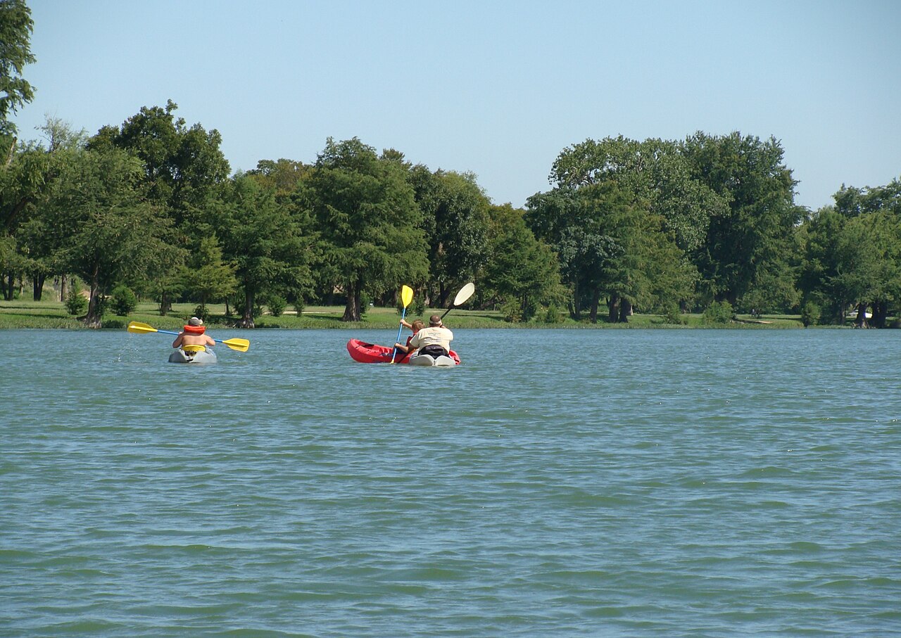
Guadalupe River
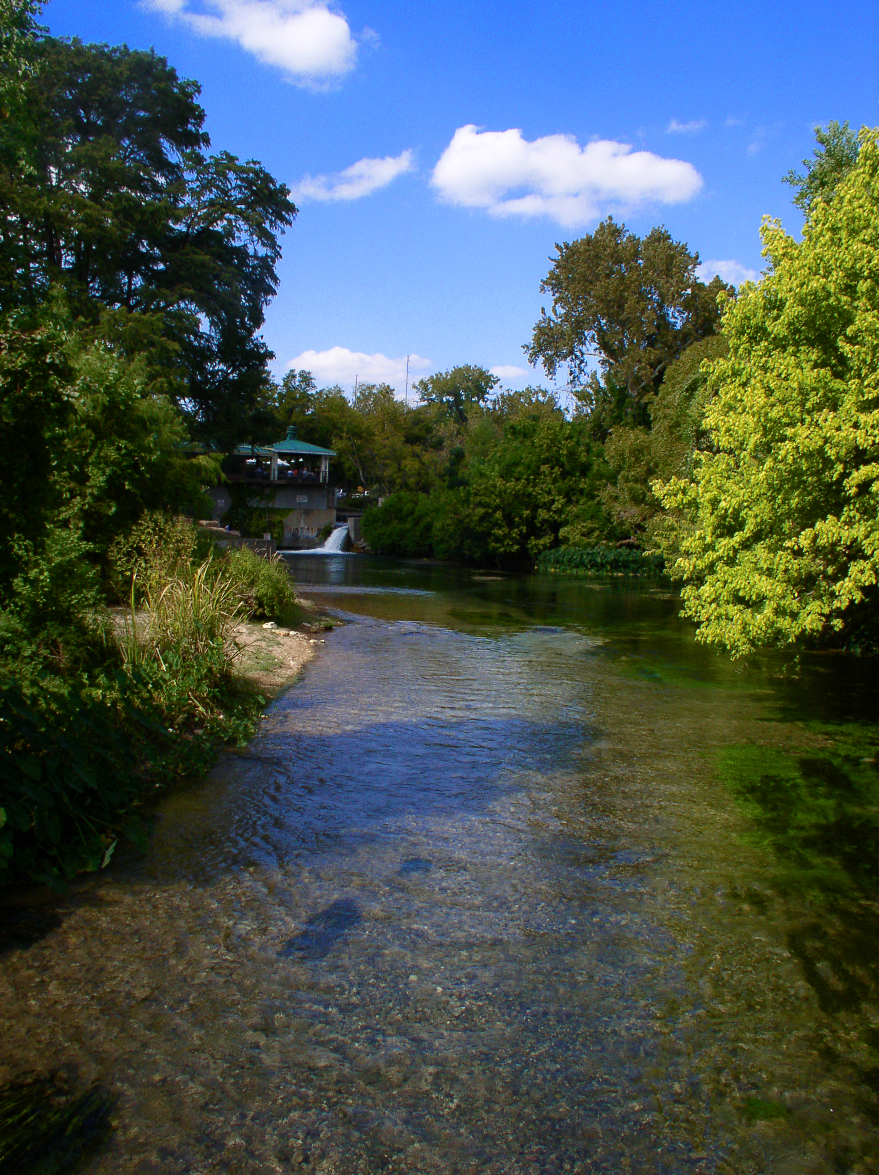
San Marcos River
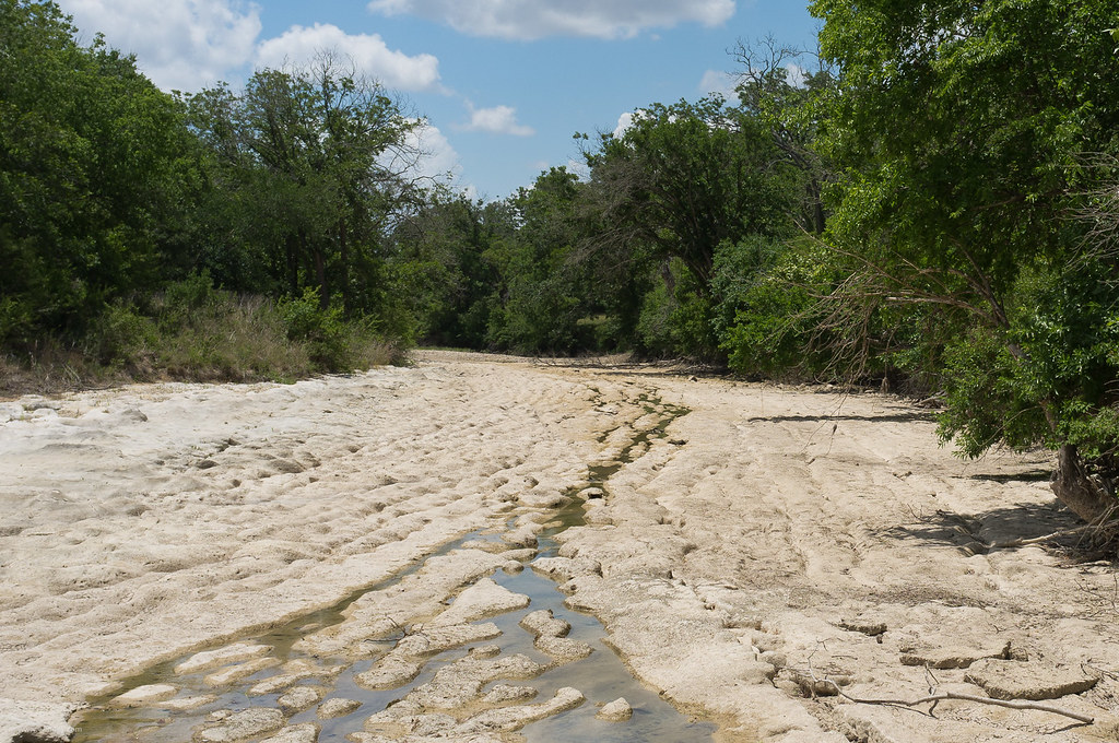
Blanco River
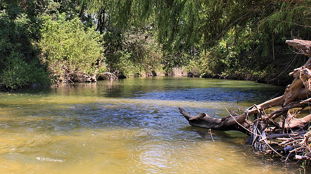
Onion Creek
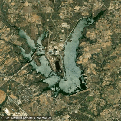
Calaveras Lake
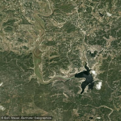
Medina Lake
Explore Texas waters
Top paddling waters
Popular Cities
Loading popular cities...
Explore near Salado Creek
Access points
Nearby waters
More in Texas

Smarter Paddling Starts in the App.
Paddleways gives you everything you need to plan smarter, paddle better, and own every trip from first launch to takeout.