Craig Creek
Craig Creek
- Boat Ramps
- 2
- Access Points
- 4
- Campsites
- 8
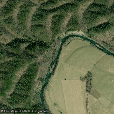
Craig Creek originates in the highlands of Craig County, Virginia, flowing approximately 60 miles through a pastoral valley before joining the James River near Eagle Rock in Botetourt County. This tributary meanders through lush vegetation and farmland, offering paddlers a shallow, gentle waterway characterized primarily by Class I-II rapids that make it accessible to beginners and families while still providing engaging water for experienced boaters. The creek's paddling season centers on spring and fall, or following significant rainfall events, as summer droughts can reduce water levels considerably. During optimal conditions, several float sections exist between New Castle in Craig County and the confluence with the James River. The most popular stretch runs from Old Route 311 bridge to New Castle, covering approximately 7 miles of Class I-II water. Downstream sections toward Eagle Rock provide additional mileage through increasingly remote terrain, with the Craig Creek to Horseshoe Bend segment on the James River showcasing impressive remnants of the historic James & Kanawha Canal system. Wilderness Adventure at Eagle Landing, an outfitter located along Craig Creek, provides equipment rentals, shuttle services, water level updates, and camping facilities for those exploring the waterway. The creek's gravel shoreline access points near Eagle Rock and New Castle serve as primary put-ins and take-outs, with the Eagle Rock access positioned where Craig Creek enters the James River.
The creek supports a healthy population of smallmouth bass, trout, bluegill, sunfish, and rock bass, making it popular among anglers. Stocked trout sections attract fly fishermen, particularly in spring. The surrounding Jefferson National Forest provides habitat for diverse wildlife, including great blue herons, green herons, wood ducks, belted kingfishers, and various dragonfly and damselfly species. Spring brings spectacular displays of Virginia bluebells along the creek banks, considered among the finest in the region.
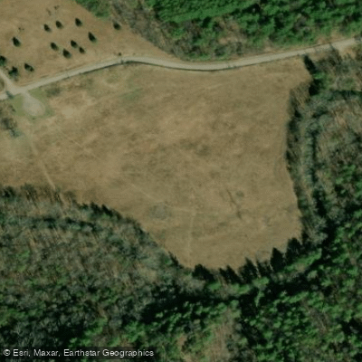
Craig Creek Recreation Area, managed by the U.S. Forest Service's Eastern Divide Ranger District, offers developed facilities including picnic areas, camping, hiking trails, and a kayak/canoe launch. The area's meadows and woodlands are specially managed for northern bobwhite habitat, providing excellent birdwatching opportunities alongside water-based recreation.
Paddlers should note that water levels fluctuate significantly, and the creek becomes quite shallow during late summer, potentially requiring occasional portaging. The clean, clear water reflects minimal development along much of the creek's length, preserving its natural character. All land along the creek banks is private property unless specifically designated otherwise, requiring paddlers to respect property boundaries and practice Leave No Trace principles.
Water access, boat ramps & amenities
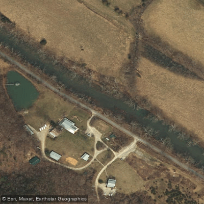
Learn how to get on Craig Creek. Uncover great paddling access points, boat ramps, and all the facilities you need for an unforgettable day on the water. Some locations shown may border or include private property. Always check property boundaries and applicable regulations before visiting. PaddleWays's Public & Private Land layer can help you plan your access with confidence.
Paddle smarter with real-time insights
Whether you're en route and conditions shift or you're looking for the best spot based on current flows, we enable you to make informed decisions on the fly.








Find Places to Paddle

Over 400,000 Places to Paddle
Every user gets free access to launch points, boat ramps, and public property parcels.


Water and weather conditions (10 day forecast)
See the best times to paddle Craig Creek and check the forecast before you go.
CRAIG CREEK AT PARR, VA
Paddling near Craig Creek
Smith Mountain Lake
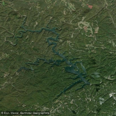
Philpott Lake

James River
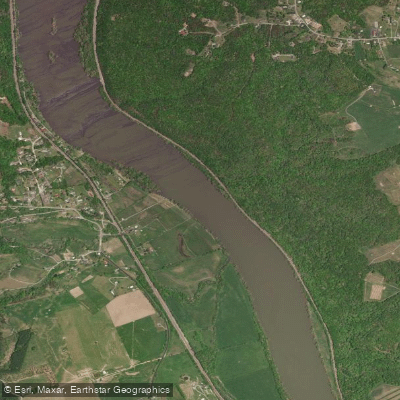
New River
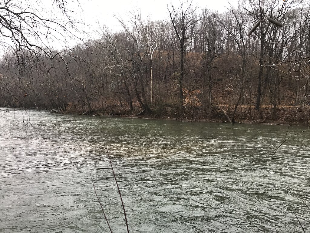
Smith River
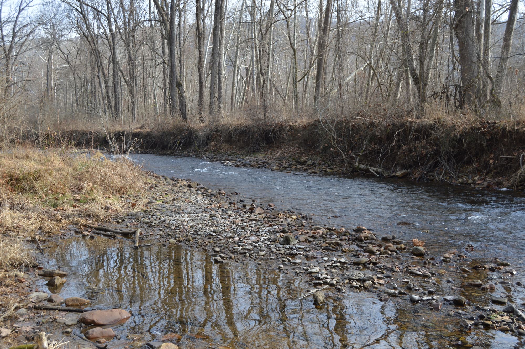
Jackson River
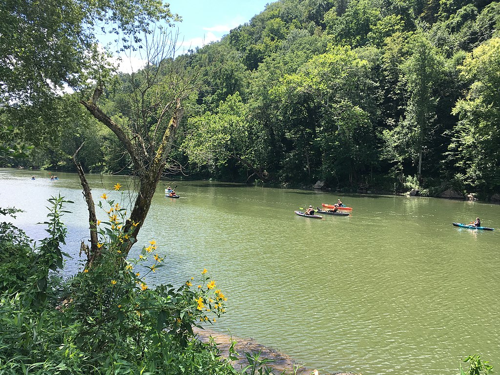
Greenbrier River
Roanoke River

Carvin Cove Reservoir
Explore Virginia waters
Top paddling waters
Popular Cities
Loading popular cities...
Explore near Craig Creek
Access points
- Craig Creek Boat Ramp
- Craig Creek Recreation Area Boat Ramp
- Route 611 Access
- Caldwell Fields Group Campground access
- Tuk-a-way Campground
- Craig Creek Campground
- Caldwell Fields Group Campground
- Fenwick Mines Campground
- Kelly Knob Campground
- The Pines Campground
- The Pines Campground
- Boley Field Group Campground
- All 14 spots
Nearby waters
More in Virginia

Smarter Paddling Starts in the App.
Paddleways gives you everything you need to plan smarter, paddle better, and own every trip from first launch to takeout.