Occoquan River
- Saltwater
- Tidal river
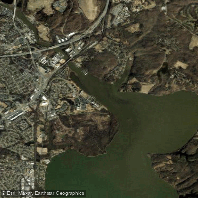
Occoquan River
- Saltwater
- Tidal river
- Sq. miles
- 1
- Boat Ramps
- 2
- Access Points
- 0
- Campsites
- 1
The Occoquan River is a tidal river in Virginia that flows into the Potomac River. For paddlers, its character is defined by a mix of quiet, natural stretches and areas with significant motorized boat traffic, especially on weekends and near marinas. The river is accessible from several public launch points. The primary and most accessible launch is the Town of Occoquan's free Kayak Launch Ramp, located beneath the Route 123 bridge at 111 Mill Street. This is a hand-carry ramp suitable for kayaks, canoes, and SUPs, is open from dawn to dusk, and is designed to be accessible for people with ambulatory disabilities. Free parking is available nearby, and a vertical storage rack allows for temporary gear storage while visiting the historic town. Another key access point is the boat launch at Occoquan Regional Park, which accommodates both carried craft and trailered motorized boats for a daily or annual fee. This makes it a busy hub for all types of watercraft. A put-in near the Prince William County Parkway bridge is unclear on its status on private property. A common take-out point is Lakeridge Marina. The river's flow is extremely slow, indicating a strong tidal influence typical of a coastal river. Paddlers should expect the water to become choppy in areas with high boat traffic, particularly near Fountainhead Regional Park and marinas, requiring awareness of wake from powerboats. The setting offers a generally quiet atmosphere with wildlife sightings including turtles, cranes, ospreys, blue herons, eagles, and kingfishers. The historic Town of Occoquan, with its boardwalk, pier, and footbridge, provides a cultural focal point and amenities. The river connects to the Potomac River, offering extended trip possibilities for experienced paddlers comfortable with larger, busier waters.
Water access, boat ramps & amenities
Learn how to get on Occoquan River. Uncover great paddling access points, boat ramps, and all the facilities you need for an unforgettable day on the water. Some locations shown may border or include private property. Always check property boundaries and applicable regulations before visiting. PaddleWays's Public & Private Land layer can help you plan your access with confidence.

Paddle smarter with real-time insights
Whether you're en route and conditions shift or you're looking for the best spot based on current flows, we enable you to make informed decisions on the fly.








Find Places to Paddle

Over 400,000 Places to Paddle
Every user gets free access to launch points, boat ramps, and public property parcels.


Tides, wind & water conditions (10 day forecast)
On open water, wind and tide matter as much as the weather. See the best times to paddle Occoquan River and check the marine forecast before you launch.
Loading tide predictions…
Paddling near Occoquan River

Potomac River
Triadelphia Reservoir

Georgetown Channel

Patuxent River
Piscataway Creek
Monocacy River
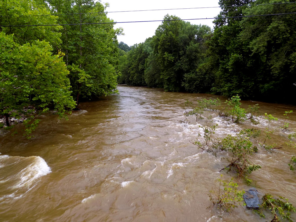
Patapsco River
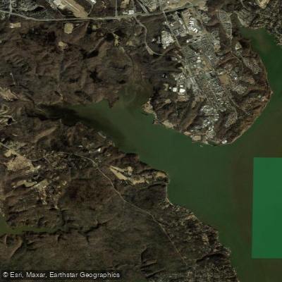
Gunston Cove

Rappahannock River
Explore Virginia waters
Top paddling waters
Popular Cities
Loading popular cities...
Explore near Occoquan River
Nearby waters
More in Virginia

Smarter Paddling Starts in the App.
Paddleways gives you everything you need to plan smarter, paddle better, and own every trip from first launch to takeout.