Roanoke River
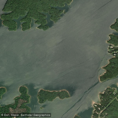
Roanoke River
- Boat Ramps
- 14
- Access Points
- 19
- Campsites
- 25
The Roanoke River is a waterway that flows through Virginia and North Carolina, offering paddlers a wide range of experiences from urban adventures to remote wilderness trips. The river begins in the Blue Ridge Mountains of Virginia and winds its way southeast for over 400 miles before emptying into the Albemarle Sound in North Carolina.
In Virginia, the Roanoke River Blueway provides 45 miles of paddling opportunities from East Montgomery County Park to Smith Mountain Lake. This section offers a unique blend of urban and rural paddling experiences, passing through the cities of Salem and Roanoke. The Blueway features mostly flatwater and Class I rapids, with some sections reaching Class II when water levels are high. This makes it suitable for paddlers of various skill levels, from beginners to intermediates.
As the river enters North Carolina, it transforms into a different beast. The Northampton County Section, also known as the Gaston to Weldon Section, offers a thrilling 5-mile stretch of Class II-III rapids. This section is popular among intermediate and advanced paddlers, culminating in an exciting Class II-III rapid near Weldon that serves as a playspot for skilled kayakers.
Further downstream, the Lower Roanoke River provides a more serene paddling experience. The section from Williamston to Plymouth is a popular multi-day trip, offering paddlers a chance to immerse themselves in the river's natural beauty. This flatwater to Class I section winds through hardwood forests and is home to diverse wildlife, including bald eagles, ospreys, and river otters.
The best time to paddle the Roanoke River varies depending on the section. In Virginia, spring and fall offer comfortable temperatures and typically good water levels. Summer can be enjoyable for flatwater sections but may require more portaging in rocky areas due to lower water levels. In North Carolina, late spring to early fall is generally ideal, though paddlers should be aware of potential flooding during hurricane season.
The Roanoke River is steeped in history, having been used for transportation and commerce since the 1700s. Today, it continues to play a vital role in the region's ecology and economy. The river supports a rich ecosystem, providing habitat for numerous fish species and serving as an important corridor for migratory birds.
Safety considerations on the Roanoke River include checking water levels before trips, especially for sections with rapids. Paddlers should be prepared for limited cell phone coverage in some remote areas, particularly in the lower reaches of North Carolina. It's also important to respect private property along the river and use designated access points.
For those seeking multi-day adventures, the Roanoke River Paddle Trail in North Carolina offers a unique experience. This trail stretches from Weldon to the Albemarle Sound, featuring camping platforms maintained by the Roanoke River Partners. These platforms provide a distinctive way to experience the river's wilderness while ensuring minimal impact on the environment.
Whether you're looking for a quick urban paddle, an adrenaline-pumping whitewater run, or a multi-day wilderness expedition, the Roanoke River offers something for every paddler. Its diverse character, rich history, and abundant natural beauty make it a true gem of the Southeast.
Water access, boat ramps & amenities
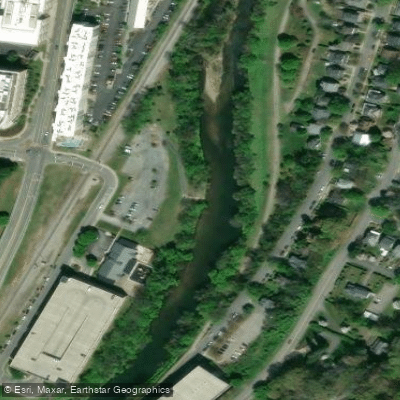
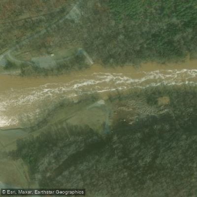
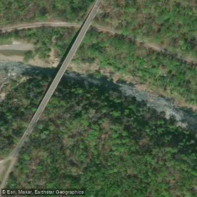
Learn how to get on Roanoke River. Uncover great paddling access points, boat ramps, and all the facilities you need for an unforgettable day on the water. Some locations shown may border or include private property. Always check property boundaries and applicable regulations before visiting. PaddleWays's Public & Private Land layer can help you plan your access with confidence.
Paddle smarter with real-time insights
Whether you're en route and conditions shift or you're looking for the best spot based on current flows, we enable you to make informed decisions on the fly.








Find Places to Paddle

Over 400,000 Places to Paddle
Every user gets free access to launch points, boat ramps, and public property parcels.


Water and weather conditions (10 day forecast)
See the best times to paddle Roanoke River and check the forecast before you go.
ROANOKE RIVER ALONG ROUTE 626 AT LAFAYETTE, VA
All Flow Stations
Paddling near Roanoke River

Neuse River
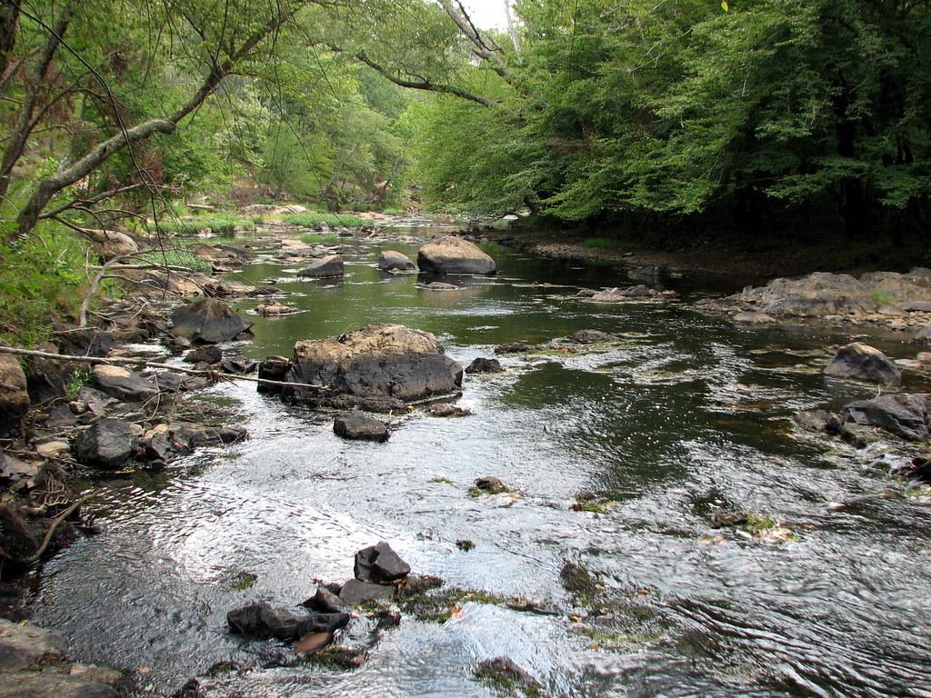
Eno River
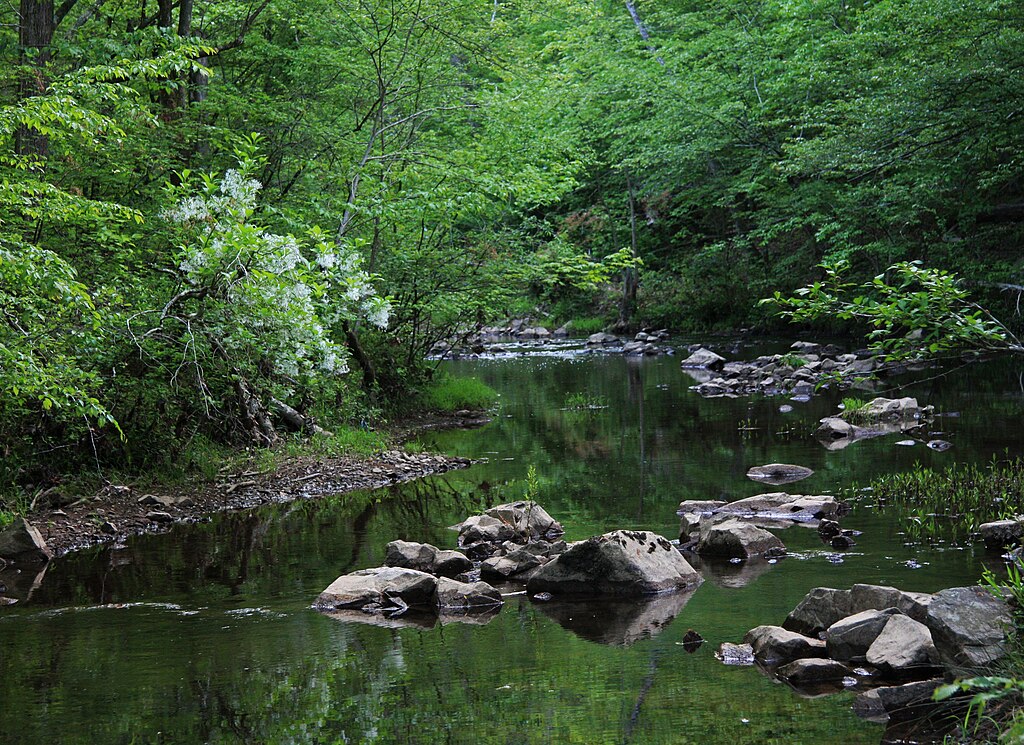
New Hope Creek
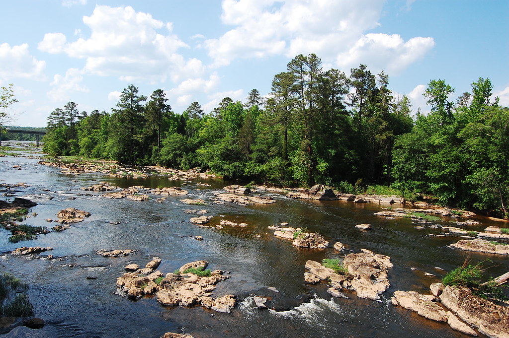
Haw River
Tar River
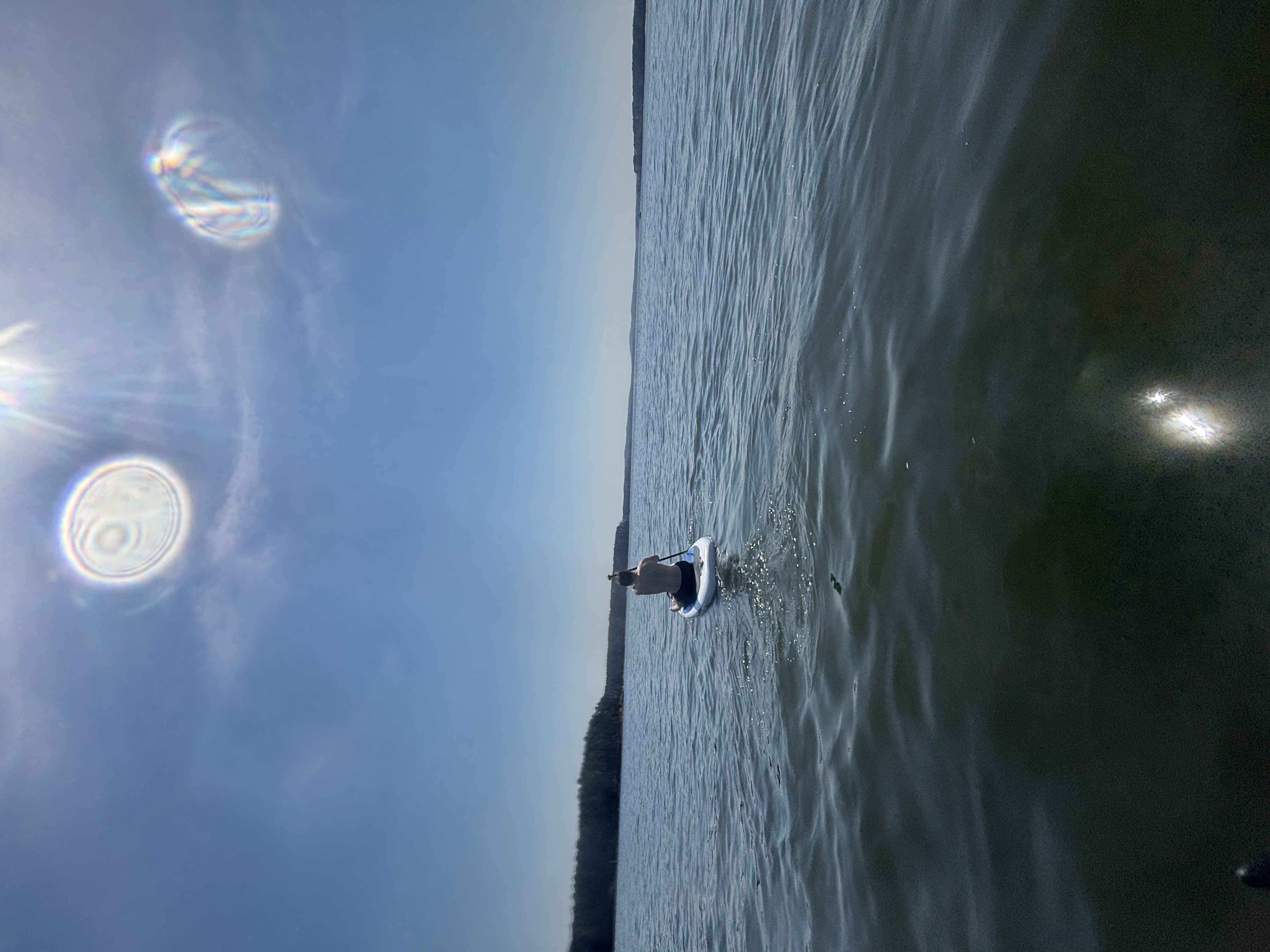
B Everett Jordan Lake
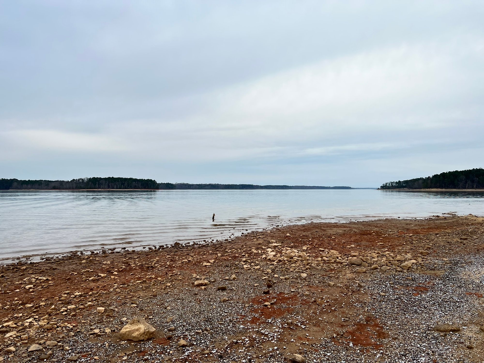
John H. Kerr Reservoir
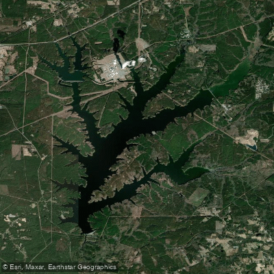
Shearon Harris Reservoir
Lake Gaston
Cape Fear River
Explore Virginia waters
Top paddling waters
Popular Cities
Loading popular cities...
Explore near Roanoke River
Access points
Nearby waters
More in Virginia

Smarter Paddling Starts in the App.
Paddleways gives you everything you need to plan smarter, paddle better, and own every trip from first launch to takeout.