Curated by PaddleWays
RouteFlatwater
- Distance
- 2.8 mi
- Paddle time
- ~1 hr
- Best for
- Beginners, families
- Put-in → take-out
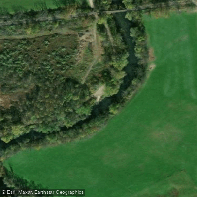
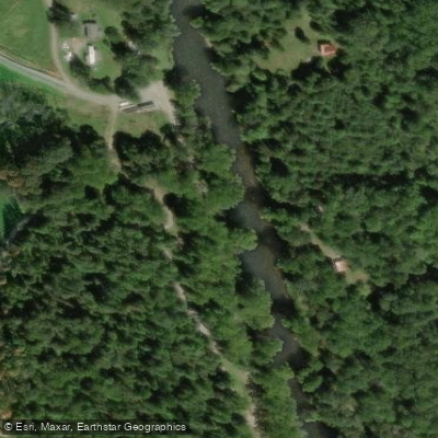
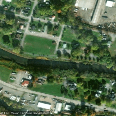
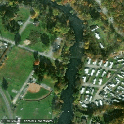
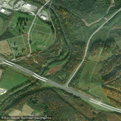
- North River Front Park Boat Ramp → Pringle Tree Park Boat Ramp
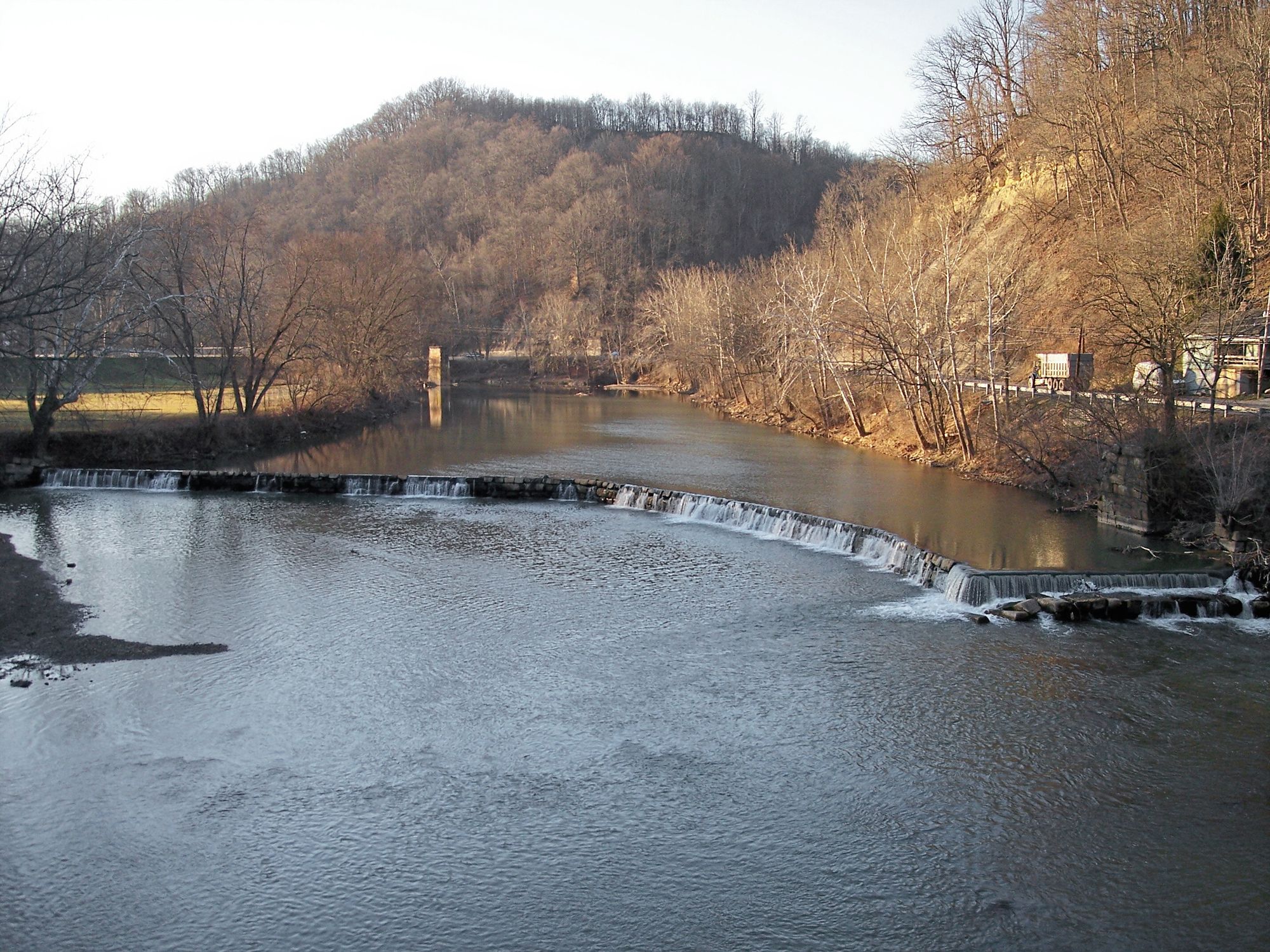
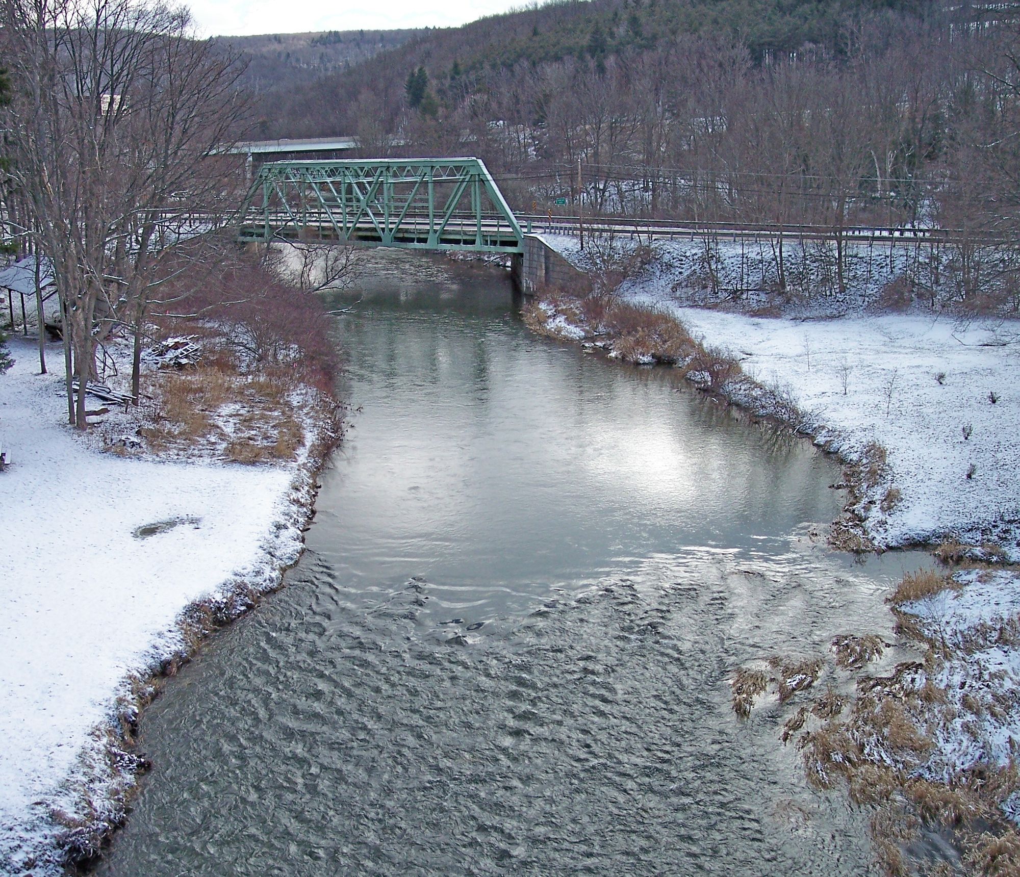
The Buckhannon River, located in north-central West Virginia, is a scenic waterway that offers a diverse range of paddling experiences for enthusiasts of all skill levels. Flowing through the heart of Upshur County, this river is a tributary of the Tygart Valley River and forms an integral part of the Monongahela River watershed.
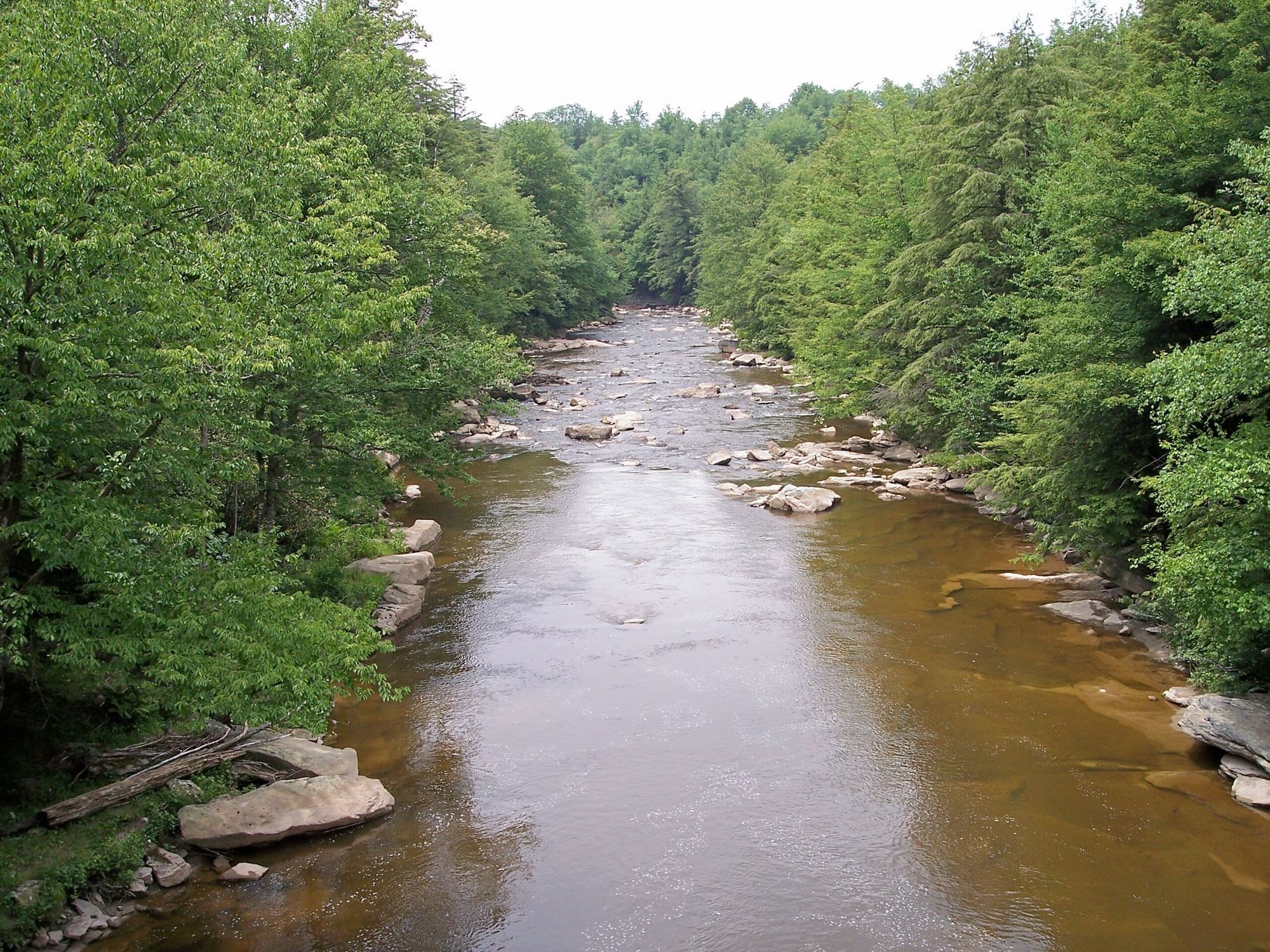
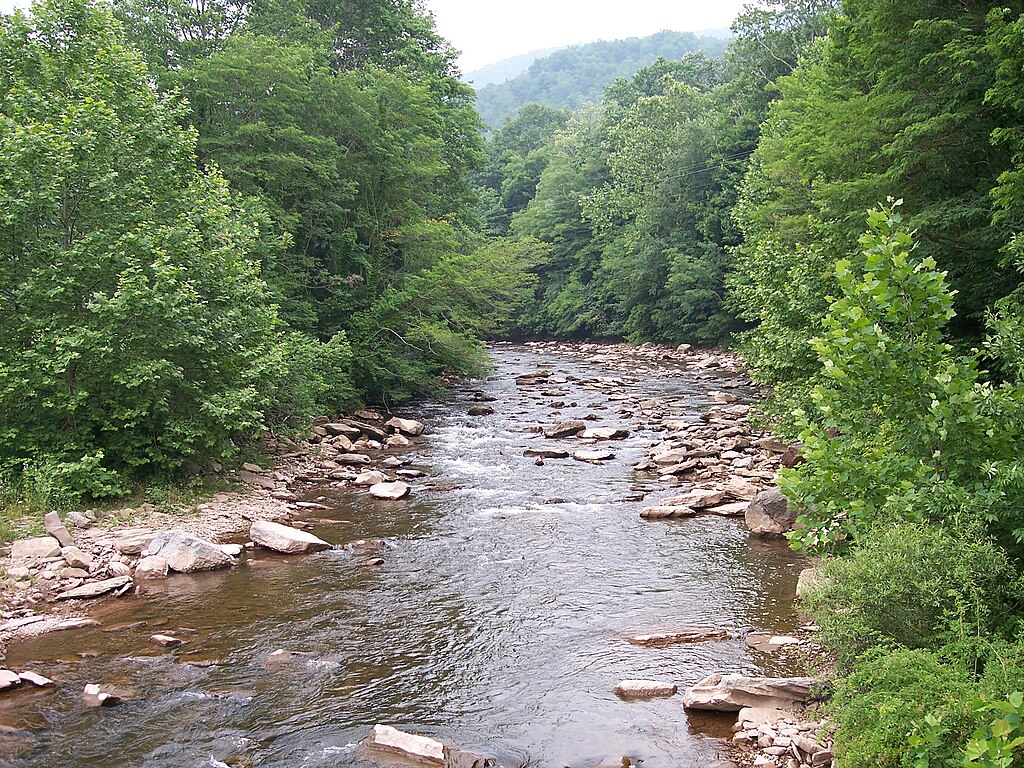
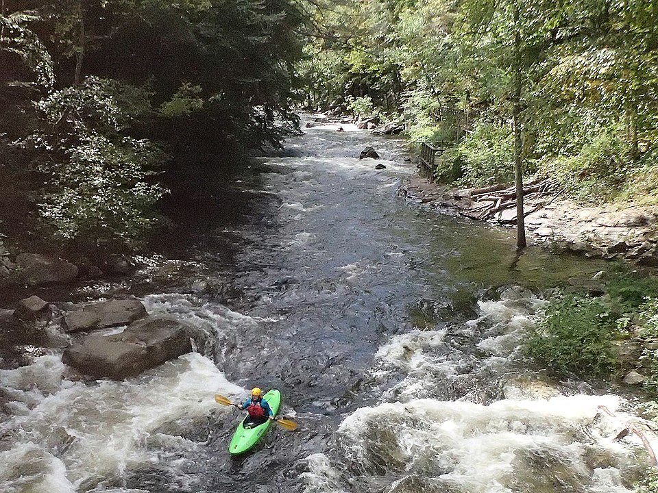
The river's character changes dramatically along its course, providing paddlers with options ranging from calm flatwater sections to challenging whitewater runs. The upper reaches, including the Left and Right Forks, offer Class II-III rapids suitable for intermediate paddlers. As the river progresses downstream, it presents more challenging sections, such as the Tenmile to Sago stretch, which features Class III-IV rapids that will test the skills of more experienced kayakers and rafters.
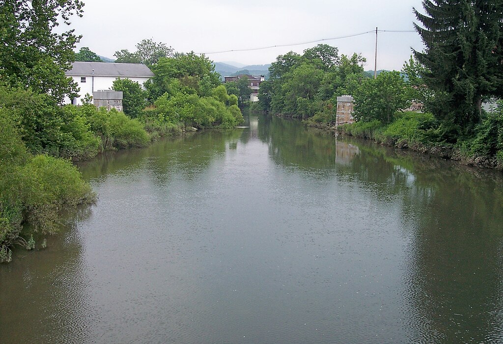
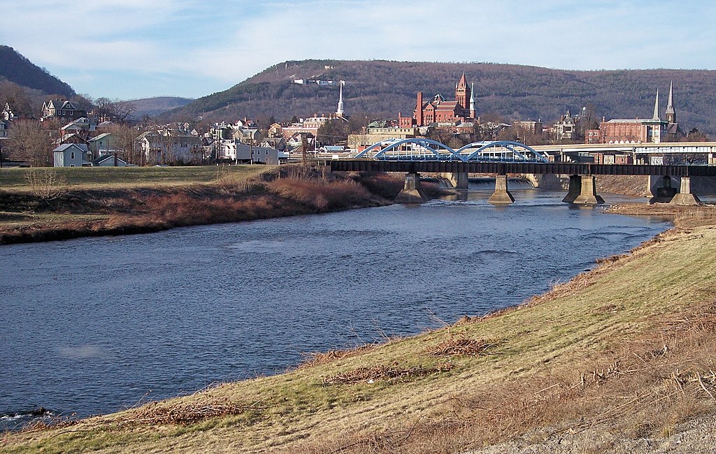
For those seeking a gentler experience, the lower sections of the Buckhannon River, particularly around the city of Buckhannon, offer peaceful flatwater paddling. Popular trips include the 2.8-mile stretch from North Buckhannon Riverfront Park to Pringle Tree Park, and the 4.5-mile journey from Hampton Bridge to Riverwalk Trail Park. These sections are ideal for families, beginners, and those looking for a relaxing day on the water.
The best time to paddle the Buckhannon River is typically in the spring and early summer when water levels are optimal. However, the river can be enjoyed throughout the warm months, with some sections remaining navigable even during drier periods. As with any river, it's crucial to check water levels before embarking on a trip, as they can significantly affect the difficulty and safety of the rapids.
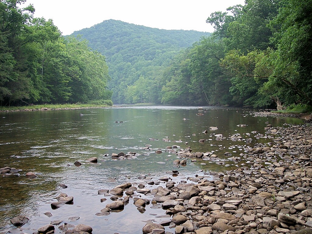
The river corridor is home to a rich variety of flora and fauna typical of the Appalachian region. Paddlers may spot white-tailed deer, wild turkeys, and various bird species along the forested banks. The surrounding landscape showcases the natural beauty of West Virginia, with a mix of hardwood forests and occasional glimpses of rural communities.
Several access points have been developed along the river, enhancing its popularity among paddlers. The Alexander boat ramp, installed in 2021, has become a particularly popular put-in spot for canoeists and kayakers. Other notable access points include Riverwalk Trail Park, North Buckhannon Riverfront Park, and Pringle Tree Park, each offering convenient facilities for river users.
The Buckhannon River holds historical significance for the region. The area around Buckhannon was one of the earliest settled in this part of West Virginia, with the river playing a crucial role in the area's development. Today, the river continues to be an important resource for the community, serving as a source of drinking water and a focal point for recreational activities.
Safety is paramount when paddling the Buckhannon River. While some sections are suitable for beginners, others require advanced whitewater skills. All paddlers should wear appropriate safety gear, including life jackets, and be aware of potential hazards such as strainers and changing water levels. It's also advisable to paddle with a group and inform someone of your trip plans.
For those looking for a multi-day adventure, the Buckhannon River can be combined with the Tygart Valley River as part of the Buckhannon & Tygart Valley River Water Trail. This 45-mile route offers a diverse paddling experience, showcasing the best of both rivers and passing through several charming West Virginia communities.
The Buckhannon River has become an increasingly popular destination for paddlers, contributing to the local economy as visitors come to enjoy its waters. Whether you're seeking thrilling rapids or a peaceful float through scenic countryside, the Buckhannon River offers a quintessential West Virginia paddling experience.
Curated routes
Hand-picked by the PaddleWays team, with put-ins, take-outs, paddle times and the hazards along the way.
RouteFlatwater
RouteFlatwater
RouteClass I–II
RouteClass I–III
RouteClass III–IV
RouteClass I–III
RouteClass III–IV
RouteFlatwater
Hazards
No hazards are marked on Buckhannon River yet. That is not the same as none being there: if you find one, report it for the next paddler.
From the community
Nobody has shared a trip on Buckhannon River yet. Paddle it, then tell the next paddler how it went.
See exactly where the public can get on and off the river. Launch points and boat ramps are paired with PaddleWays' public land data so you know where you can legally land.
Public shoreline
0%of the river's shoreline is public
Most of the riverbank is private. Launch, land and camp only at public access points.
Flows, weather and a route-by-route verdict, so you know which stretch of the Buckhannon River is worth paddling today.
All Flow Stations
Live flows, marked hazards and fresh trip reports from paddlers who were just on the water, all in one place.





Every user gets free access to launch points, boat ramps, and public property parcels.

Loading popular cities...
PaddleWays gives you everything you need to plan smarter, paddle better, and own every trip from first launch to takeout.