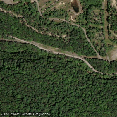
Curated by PaddleWays
RouteClass I–V
- Distance
- 17.6 mi
- Paddle time
- ~4.5 hrs
- Put-in → take-out
- Reedsville Access → Morgantown Riverfront Park Dock Access
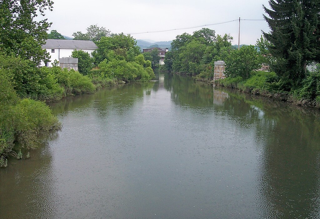
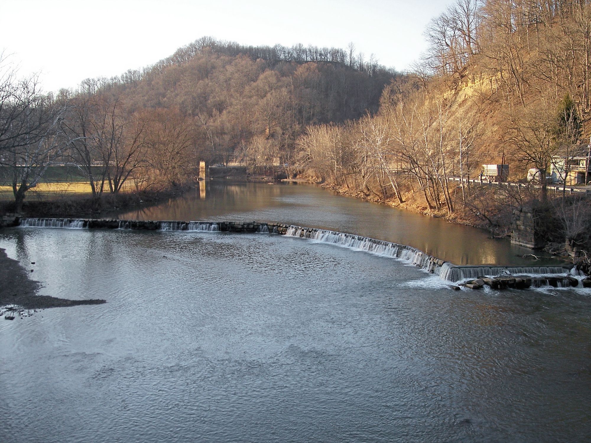
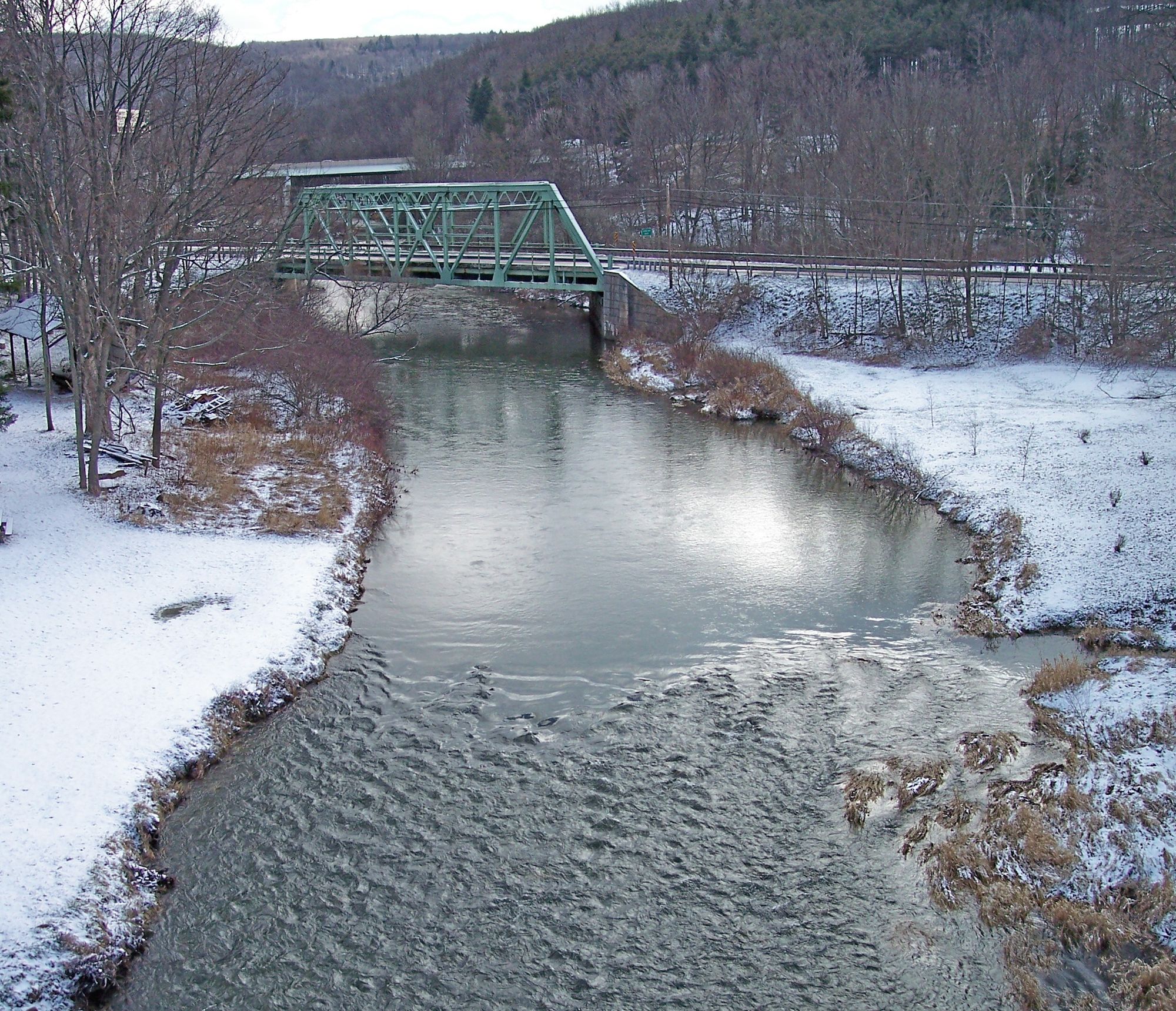
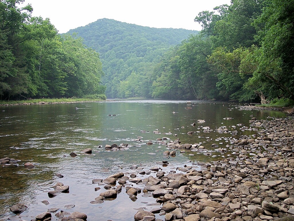
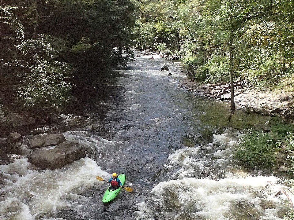
Deckers Creek is a scenic and challenging whitewater stream located in northern West Virginia. The creek originates in Preston County and flows northwest for approximately 24 miles before joining the Monongahela River in Morgantown. As it descends from the Allegheny Plateau, Deckers Creek drops sharply in elevation, creating numerous waterfalls, rock gardens, and cascades that make it a premier destination for whitewater paddling. The creek offers a diverse range of paddling opportunities, from beginner-friendly urban runs to expert-level Class V rapids.
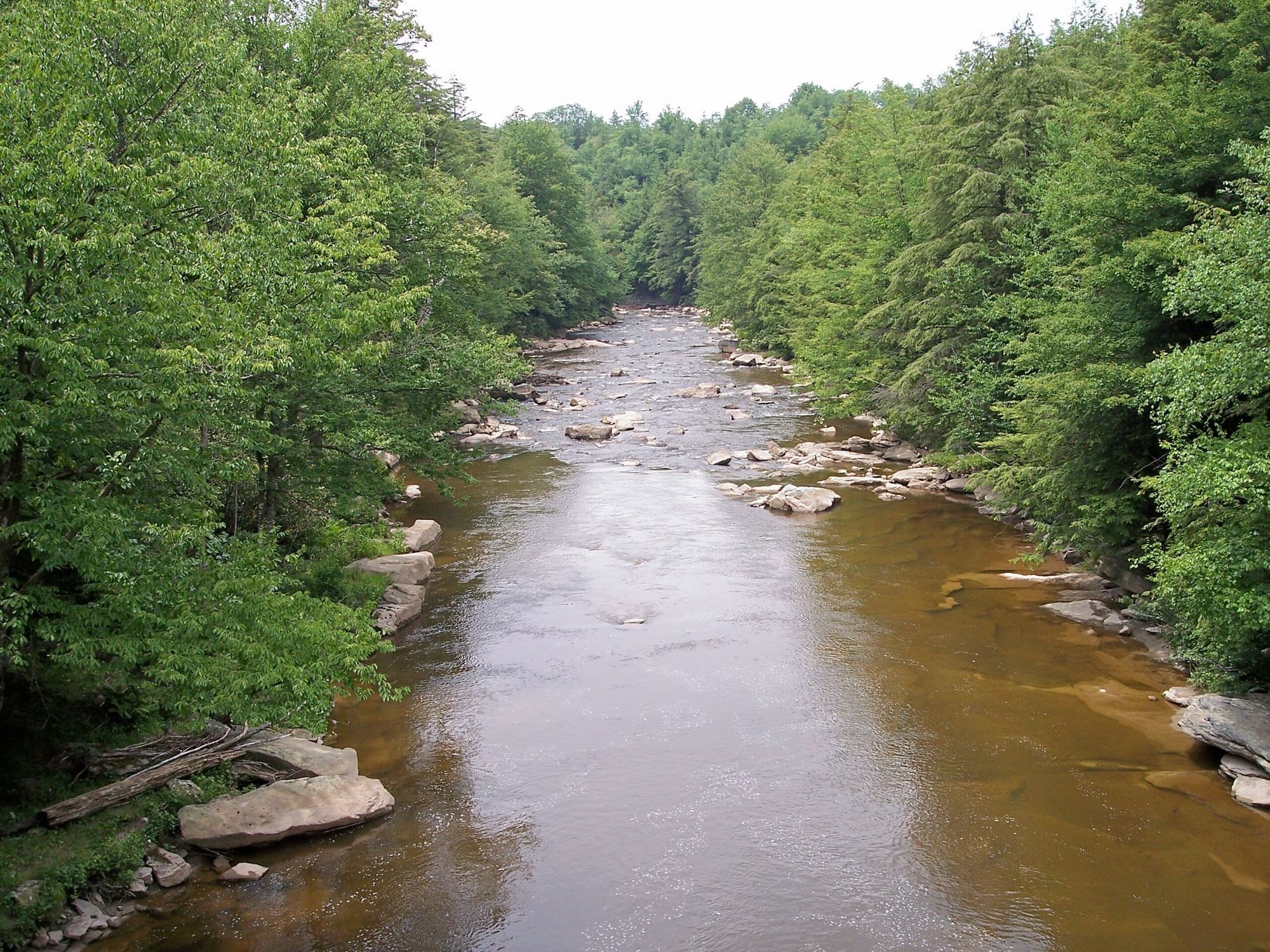
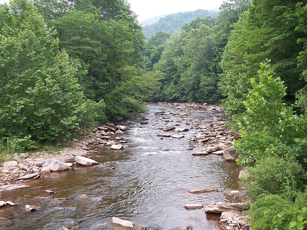
The most famous section is the Pioneer Rocks run in southeast Morgantown, a short but intense Class V stretch featuring technical rapids, powerful hydraulics, and dangerous sieves. Upstream, the Upper Cascades section from Masontown to the Preston County line provides 5.8 miles of challenging Class I-IV+(V+) whitewater through beautiful rhododendron thickets. For less experienced paddlers, the Urban Morgantown Run offers a fun Class I-II float through the heart of the city.
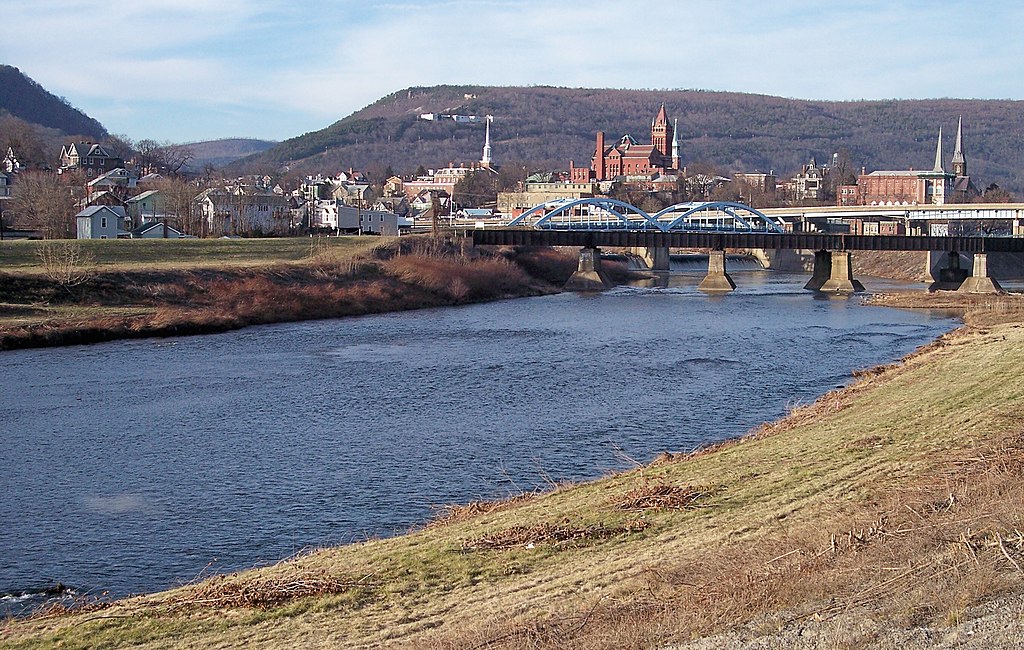
Deckers Creek is primarily a rain-fed stream, with optimal paddling conditions occurring after significant rainfall events, typically in spring and fall. The creek is known to flash quickly, requiring careful monitoring of water levels and weather forecasts. The surrounding watershed supports a diverse ecosystem, with hemlock and hardwood forests lining the banks. Key landmarks include the numerous waterfalls along the Upper Cascades, the Pioneer Rocks formation, and the confluence with the Monongahela River at Hazel Ruby McQuain Riverfront Park in Morgantown.
Primary access points are found along State Route 7, which parallels much of the creek's course. The Deckers Creek Rail-Trail also provides easy access for scouting and emergency egress. Historically, Deckers Creek played a role in the region's industrial development, powering mills and supporting coal mining operations. Today, it serves as an important recreational resource for the Morgantown area, with ongoing efforts to improve water quality and develop additional amenities like a proposed whitewater park.
Safety is paramount when paddling Deckers Creek, especially on the more challenging sections. The Pioneer Rocks run, in particular, is considered one of the most dangerous in West Virginia and should only be attempted by expert paddlers with proper equipment and local knowledge. All paddlers should be aware of potential hazards like undercut rocks, strainers, and fluctuating water levels.
For those seeking a multi-day adventure, the full 19-mile stretch from Reedsville to Morgantown can be paddled as a longer trip, combining various difficulty levels and showcasing the creek's diverse character from rural to urban settings.
Curated routes
Hand-picked by the PaddleWays team, with put-ins, take-outs, paddle times and the hazards along the way.
RouteClass I–V
Hazards
No paddler has reported a hazard here yet, so these are the dams, falls and big rapids on our map. Hazards change with flows and storms, so check them before you launch.
From the community
Nobody has shared a trip on Deckers Creek yet. Paddle it, then tell the next paddler how it went.
See exactly where the public can get on and off the river. Launch points and boat ramps are paired with PaddleWays' public land data so you know where you can legally land.
Public shoreline
5%of the river's shoreline is public
Most of the riverbank is private. Launch, land and camp only at public access points.
Flows, weather and a route-by-route verdict, so you know which stretch of the Deckers Creek is worth paddling today.
Live flows, marked hazards and fresh trip reports from paddlers who were just on the water, all in one place.





Every user gets free access to launch points, boat ramps, and public property parcels.

Loading popular cities...
PaddleWays gives you everything you need to plan smarter, paddle better, and own every trip from first launch to takeout.





