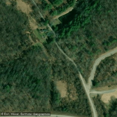
Curated by PaddleWays
Dog Run
- River
- 2 hazards marked
Dog Run
- River
- 2 hazards marked
- River length
- 1.9 mi
- Curated route
- 1
- Trip report
- 1
- Hazards marked
- 2
- Public shoreline
- 0%
Curated routes
Popular routes to paddle
Hand-picked by the PaddleWays team, with put-ins, take-outs, paddle times and the hazards along the way.
Hazards
Hazards on Dog Run
No paddler has reported a hazard here yet, so these are the dams, falls and big rapids on our map. Hazards change with flows and storms, so check them before you launch.
From the community
Dog Run trip reports
Real trips from PaddleWays paddlers: which route they ran, how the flows were, and what to watch for.
- Trip reports
- 1
- Most paddled route
- Dog Run
Loading trip reports
Keith G.
Upper Dog Run Lake 7/16/2026
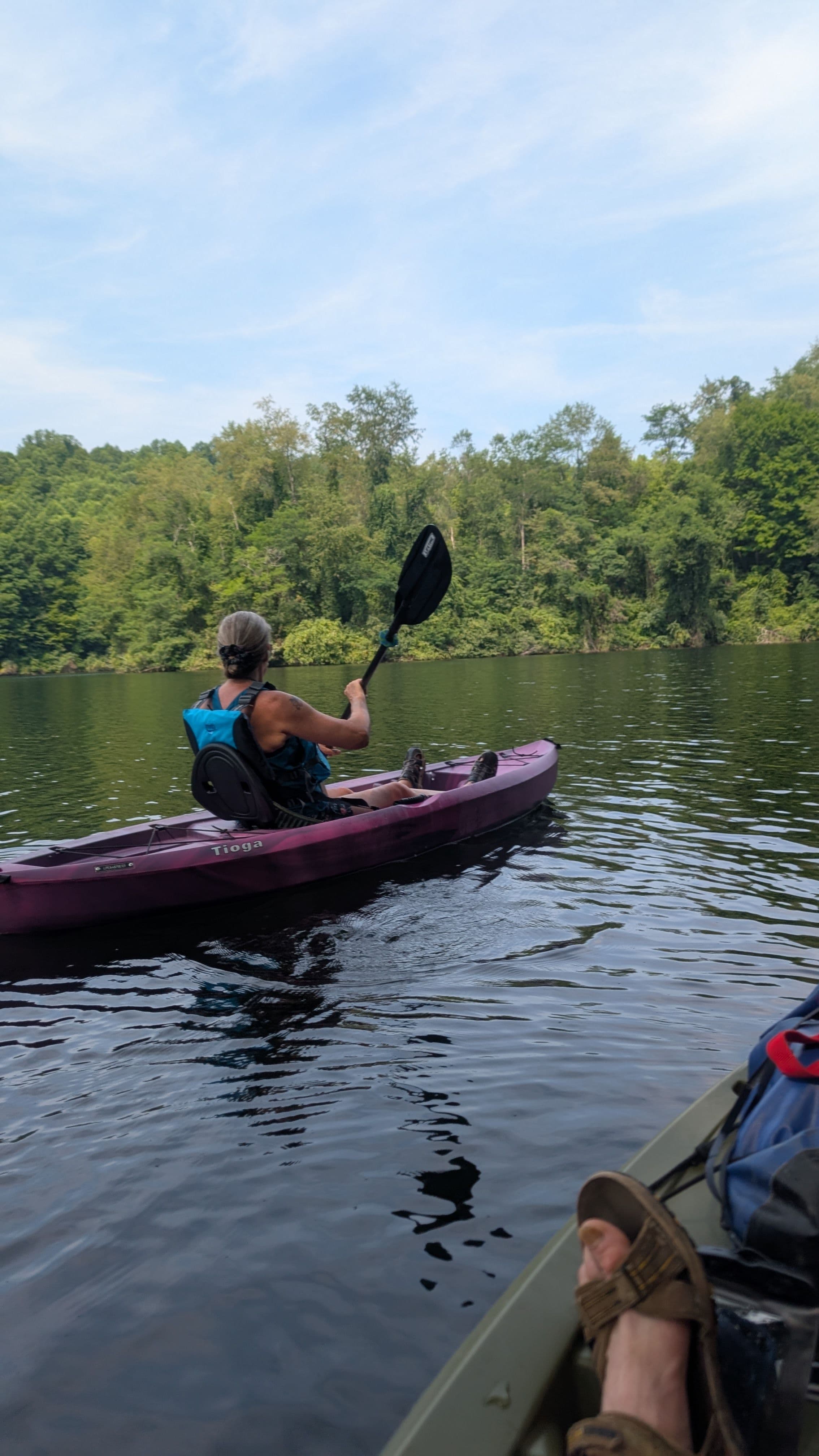
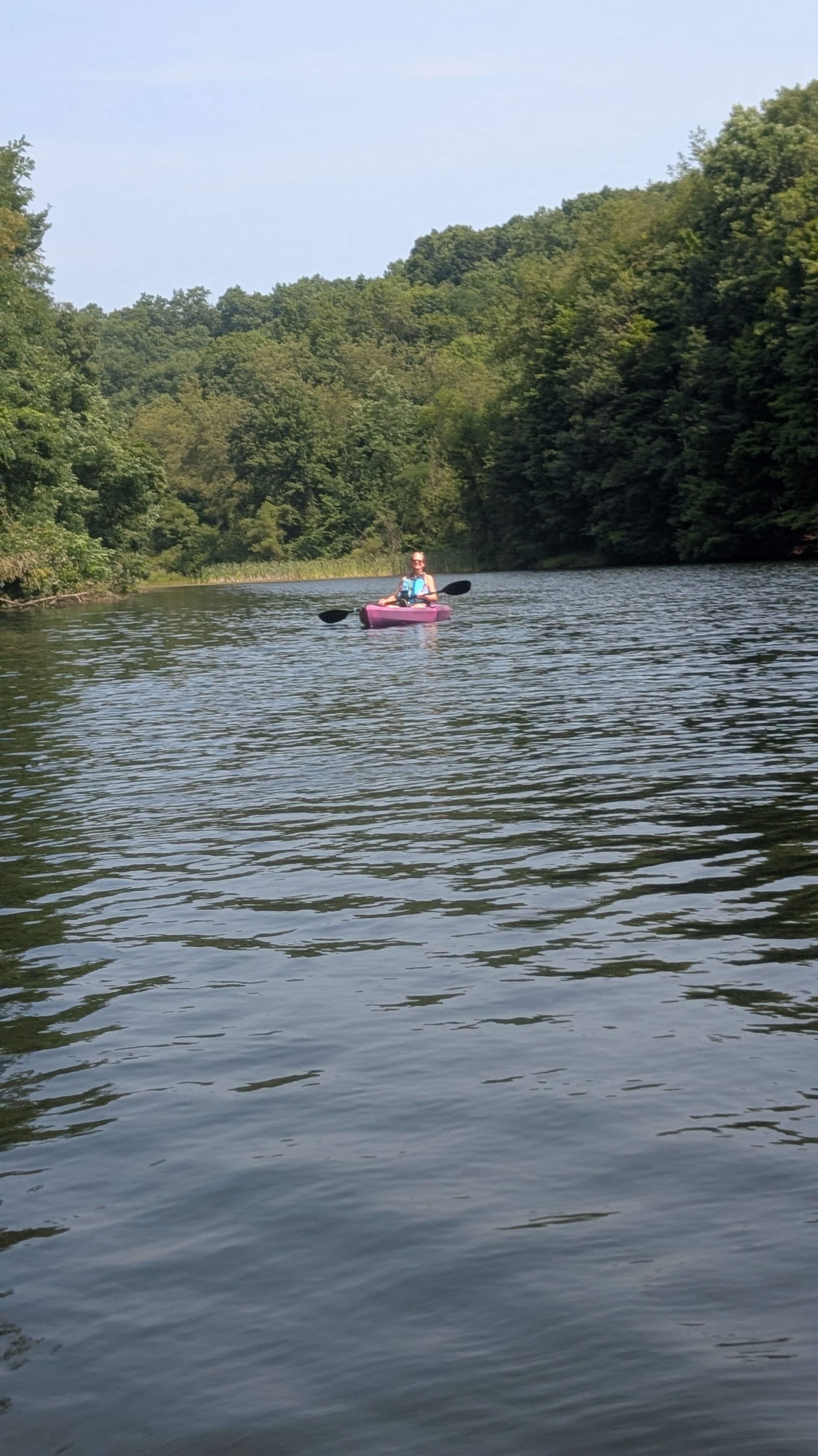
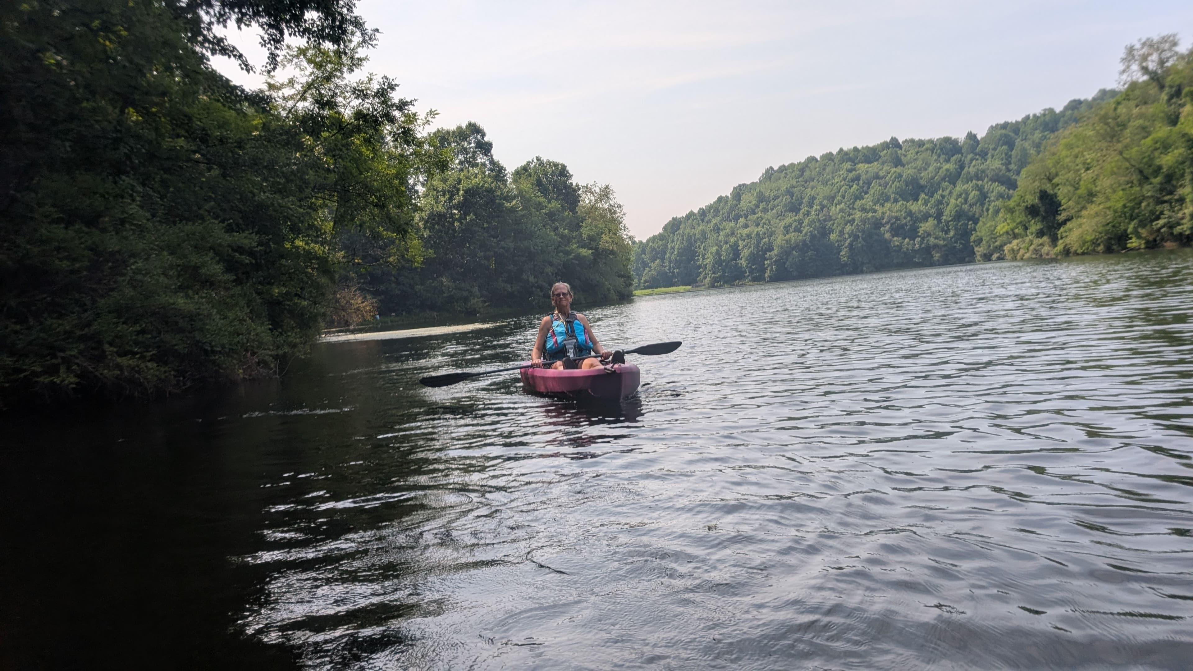
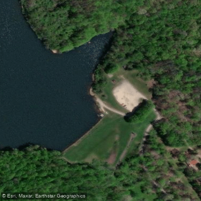
Water access & public shoreline
See exactly where the public can get on and off the river. Launch points and boat ramps are paired with PaddleWays' public land data so you know where you can legally land.
Public shoreline
0%of the river's shoreline is public
- Public
- 0%
- Private
- 100%
Most of the riverbank is private. Launch, land and camp only at public access points.
Flows & paddling conditions (10 day forecast)
Flows, weather and a route-by-route verdict, so you know which stretch of the Dog Run is worth paddling today.
No forecast data available.
Paddle smarter with real-time insights
Live flows, marked hazards and fresh trip reports from paddlers who were just on the water, all in one place.







Find Places to Paddle

Over 400,000 Places to Paddle
Every user gets free access to launch points, boat ramps, and public property parcels.



Paddling near Dog Run
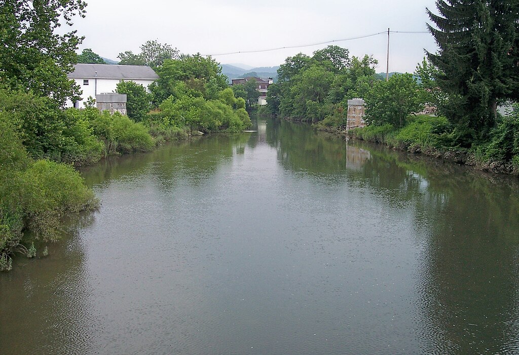
Tygart Valley River
West Virginia
38.2 miles away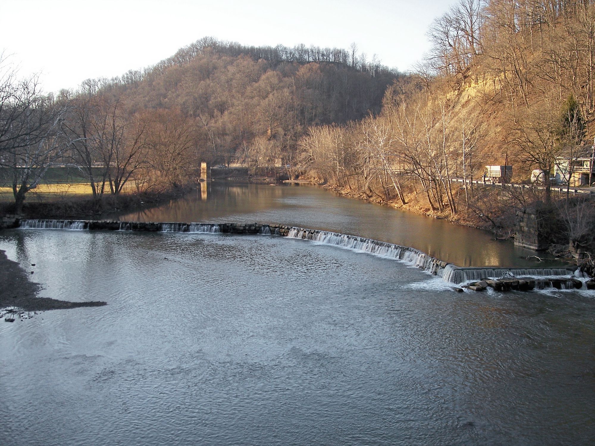
West Fork River
West Virginia
10.7 miles away
Ohio River
Illinois, Indiana, Kentucky, Missouri, Ohio, Pennsylvania, West Virginia
231.1 miles away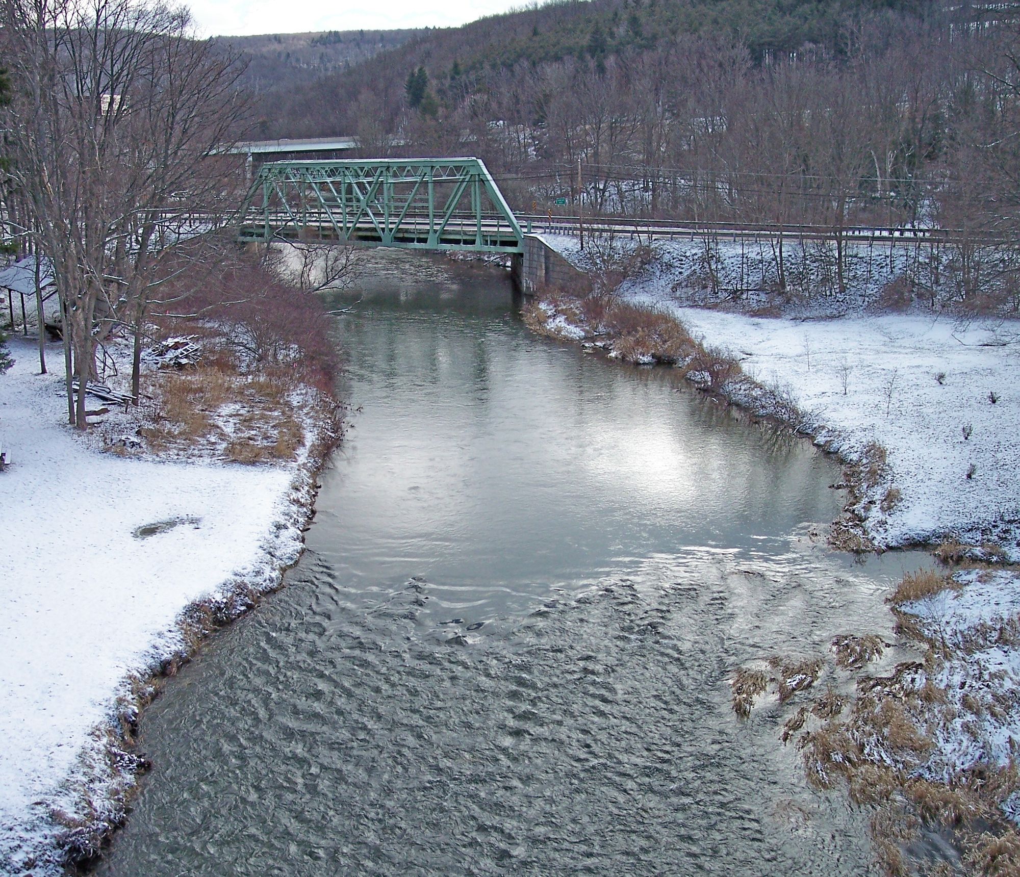
Casselman River
Maryland, Pennsylvania
80.6 miles away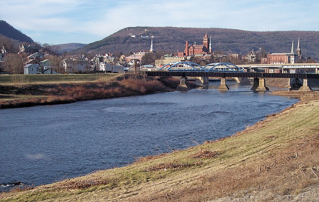
North Branch Potomac River
Maryland, West Virginia
82.4 miles away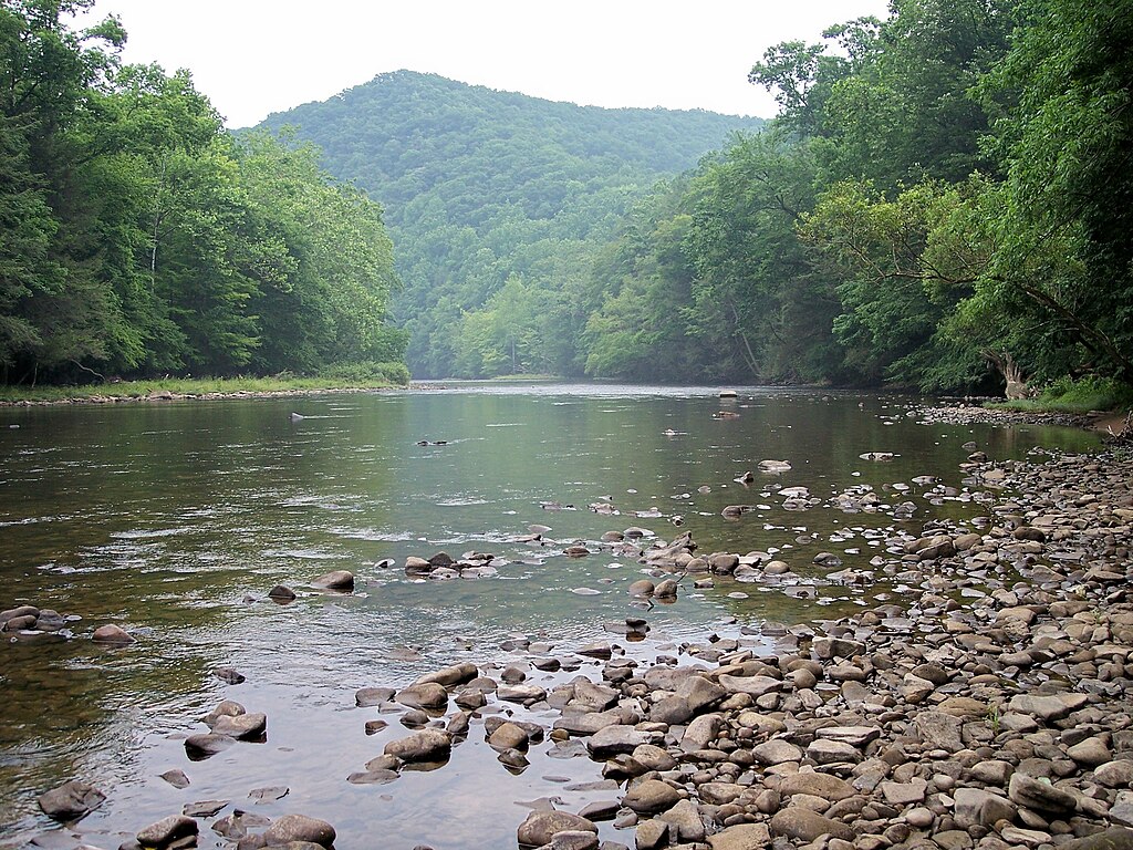
Shavers Fork
West Virginia
55.4 miles away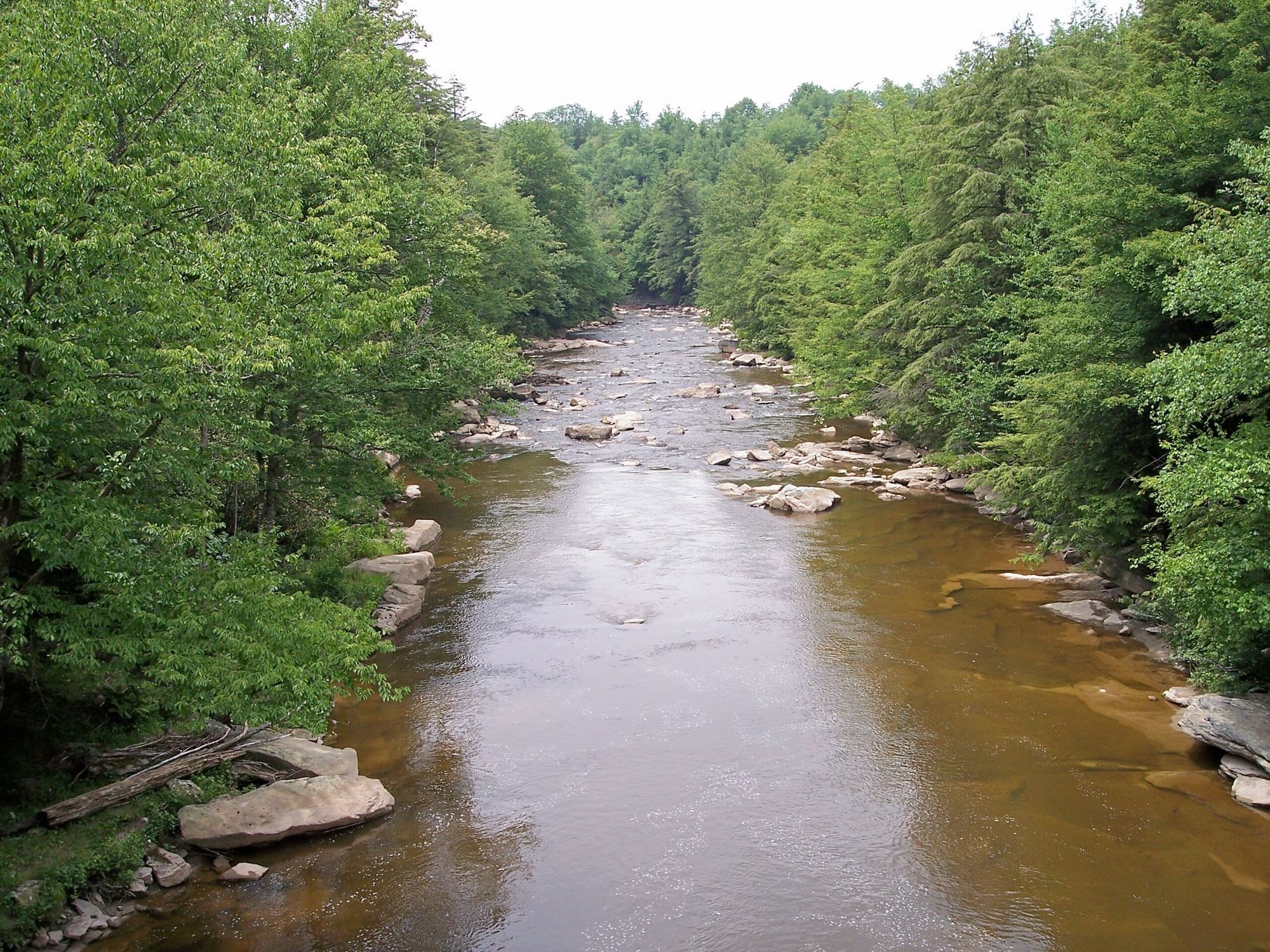
Blackwater River
West Virginia
58.9 miles away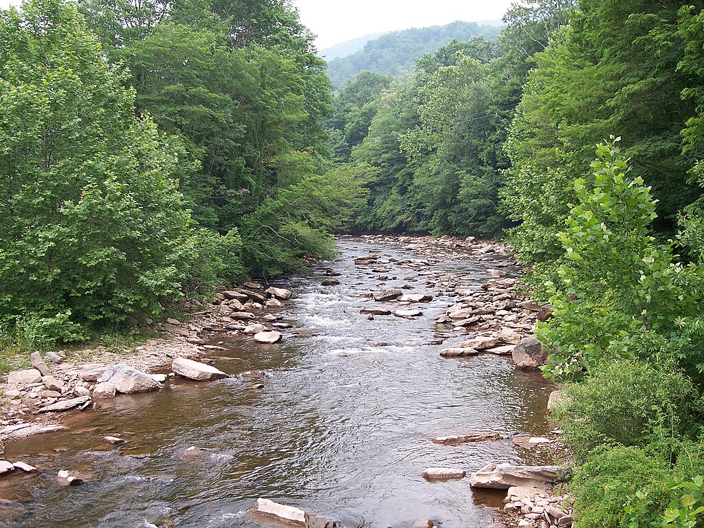
Dry Fork
West Virginia
60.4 miles away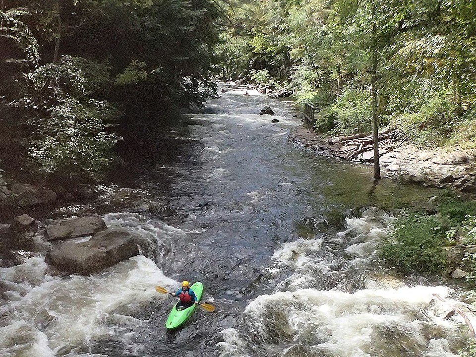
Savage River
Maryland
82.3 miles away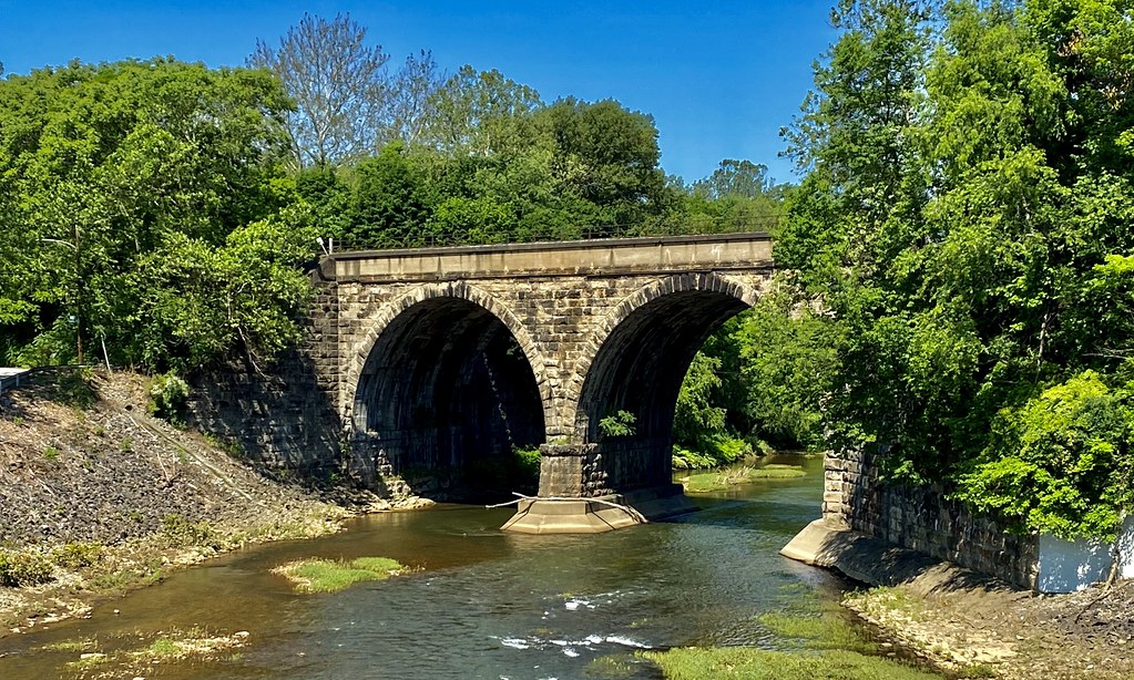
Loyalhanna Creek
Pennsylvania
93.9 miles awayExplore West Virginia waters
Top paddling waters
Popular Cities
Loading popular cities...
Explore near Dog Run
Paddling routes
Access points
Nearby waters
More in West Virginia

Smarter Paddling Starts in the App.
PaddleWays gives you everything you need to plan smarter, paddle better, and own every trip from first launch to takeout.