Curated by PaddleWays
RouteClass III–IV
- Distance
- 2.8 mi
- Paddle time
- ~0.5 hrs
- Best for
- Experienced paddlers
- Put-in → take-out
- Audra State Park Boat Ramp → Tygart Gorge Access
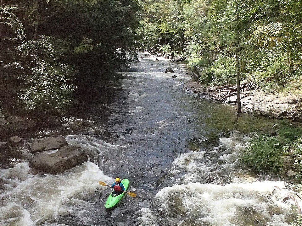
Class IV rapids on the Middle Fork
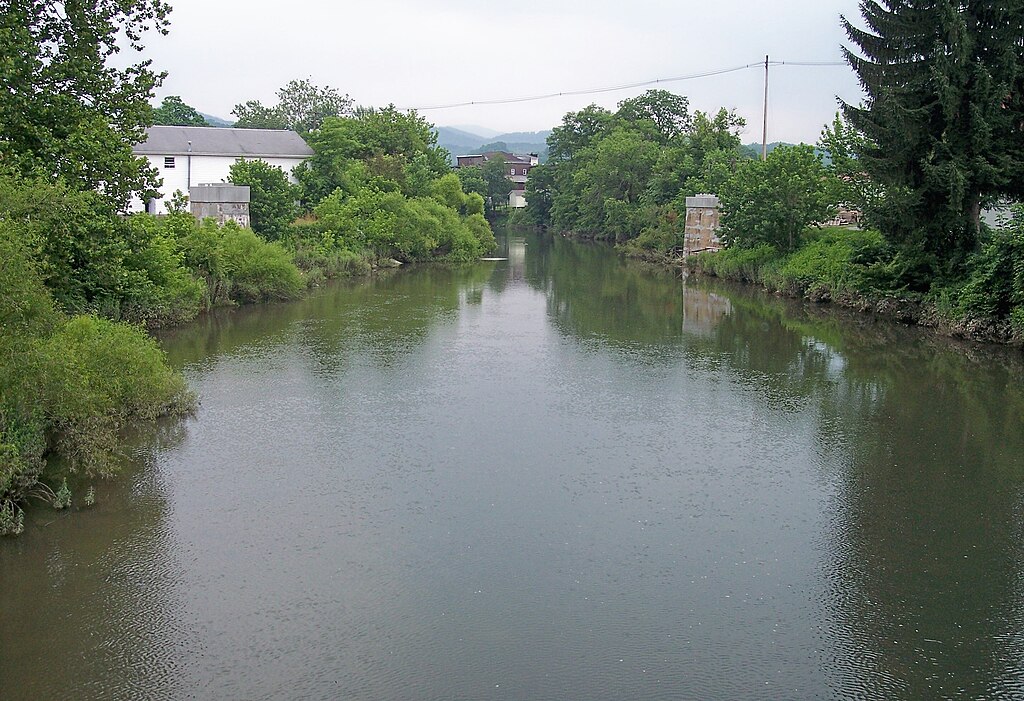
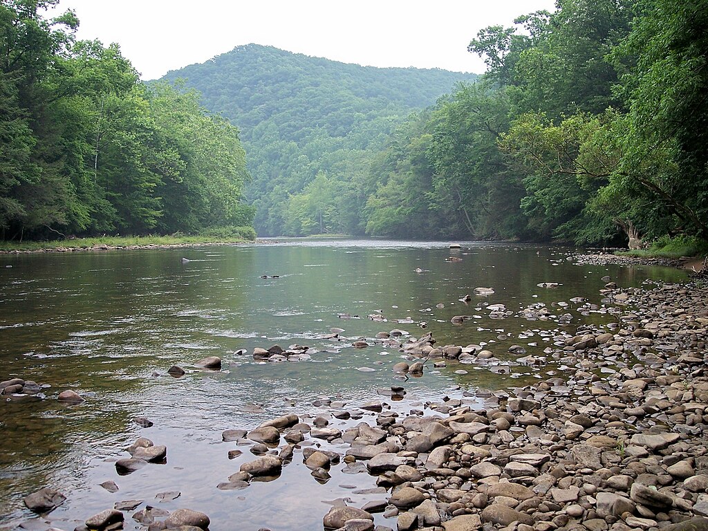
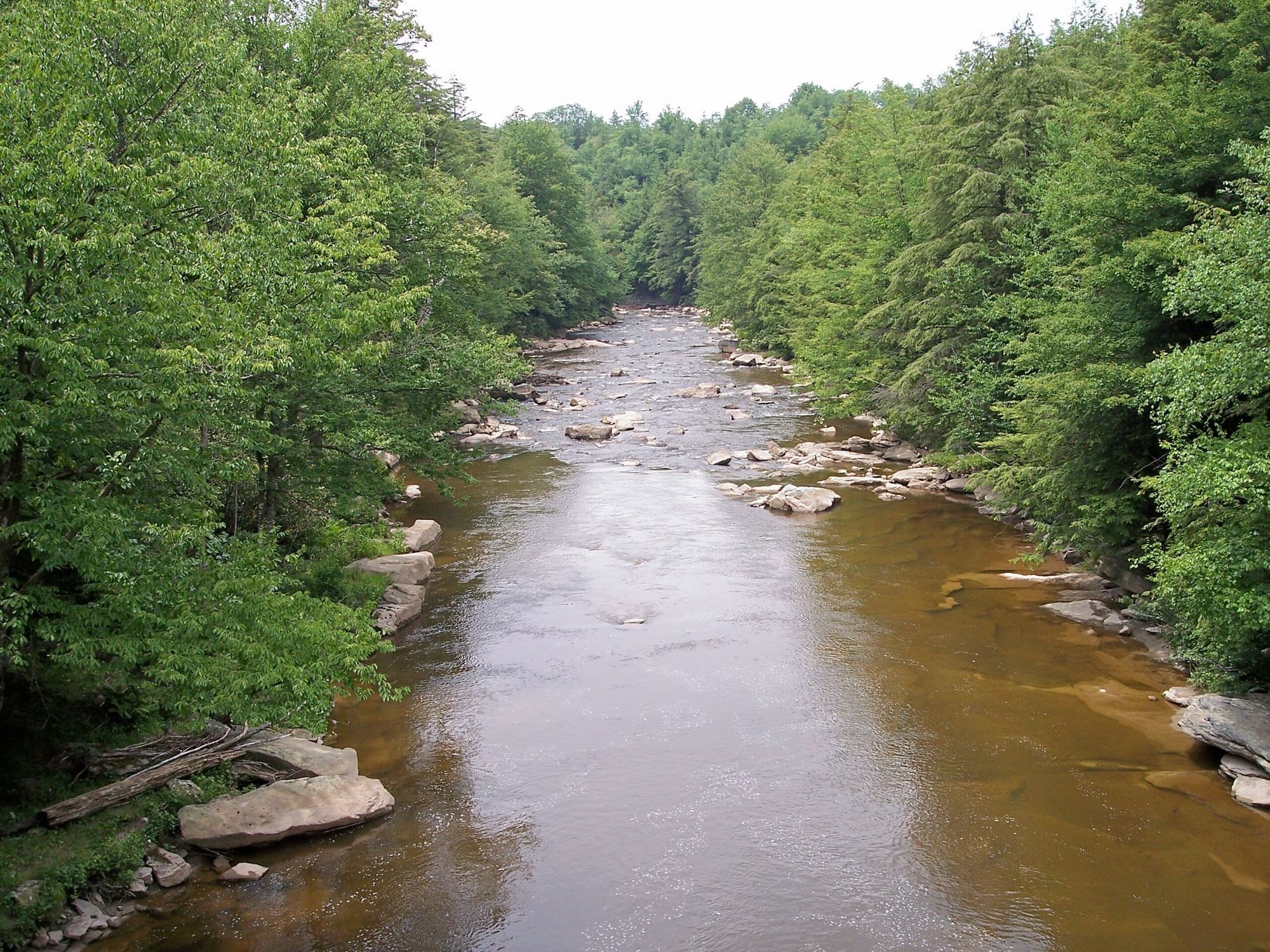
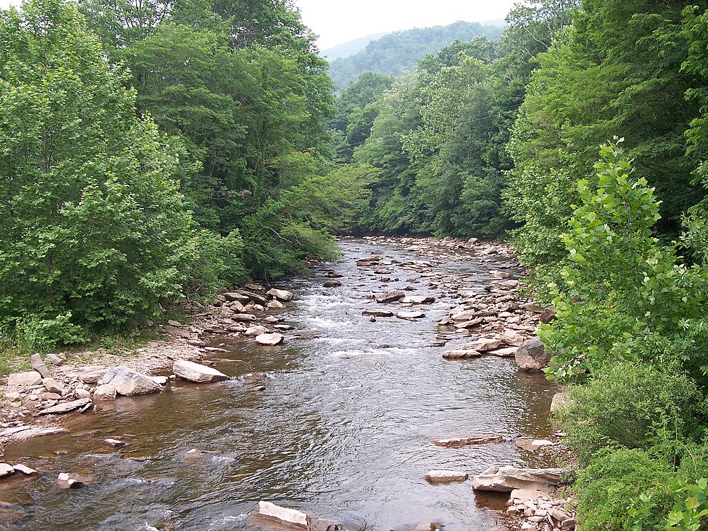
The Middle Fork River in West Virginia is a scenic and challenging waterway that offers paddlers a diverse range of whitewater experiences. Originating in western Randolph County, this pristine river flows northward through heavily forested areas, carving its way through the Appalachian Mountains before joining the Tygart River.
The Middle Fork presents two distinct paddling sections, each catering to different skill levels. The upper section, from the confluence of Laurel Fork to Audra State Park, is a 5-mile stretch of Class I-III rapids suitable for intermediate paddlers. This run provides a perfect warm-up with its mix of easy flatwater and moderate rapids, all while surrounded by beautiful Appalachian wilderness.
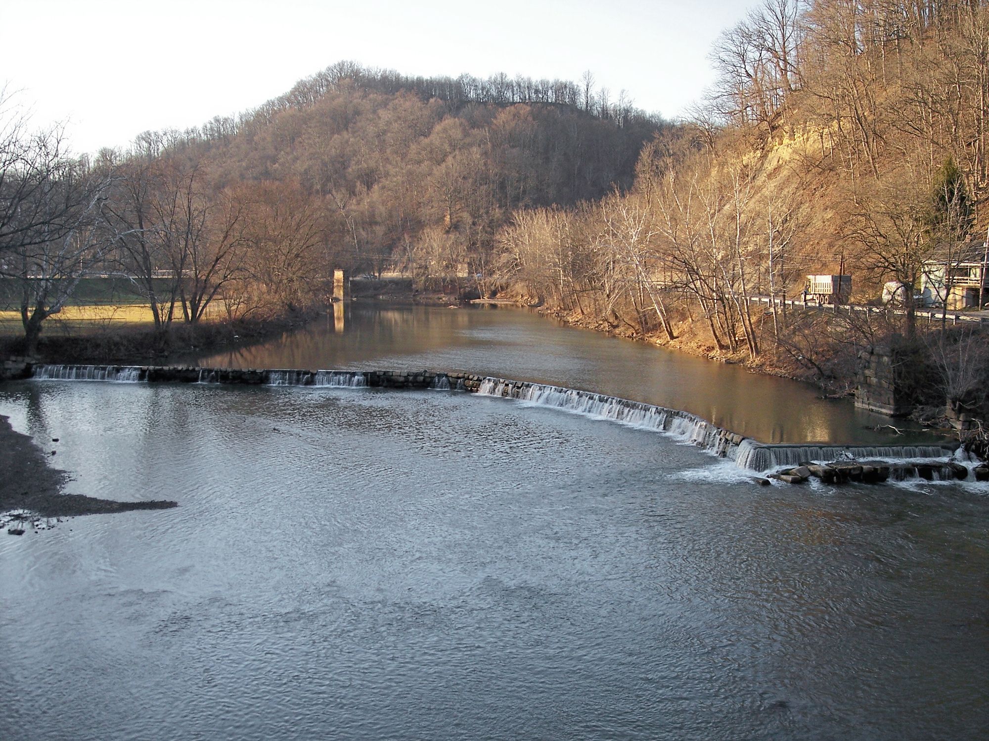
For more experienced paddlers seeking a thrilling adventure, the lower section from Audra State Park to the Tygart River confluence offers 2.9 miles of challenging Class III-IV whitewater. With a steep average gradient of 79 feet per mile, this section delivers non-stop action and requires solid whitewater skills to navigate safely.
The best time to paddle the Middle Fork is typically in the spring and early summer when water levels are optimal. However, it's essential to check current conditions and water levels before embarking on any trip, as the river can become dangerous during high water events or too low to run effectively during dry periods.
As you paddle the Middle Fork, you'll be treated to a rich ecosystem teeming with diverse flora and fauna. The river corridor is home to various hardwood trees, including maples, oaks, and hemlocks. Wildlife enthusiasts might spot white-tailed deer, wild turkeys, and a variety of bird species along the banks.
One of the most significant landmarks along the Middle Fork is Audra State Park, which serves as both a take-out for the upper section and a put-in for the lower section. The park offers camping facilities and is an excellent base for exploring the river and surrounding area.
For those looking to extend their adventure, a popular option is to continue past the Middle Fork's confluence with the Tygart River and paddle an additional 4 miles through the Tygart River Gorge. This combined 7-mile trip offers a fantastic mix of whitewater and scenery, making it a favorite among experienced paddlers.
Safety is paramount when paddling the Middle Fork. All boaters should wear appropriate safety gear, including helmets and life jackets. It's also crucial to be aware of potential hazards such as strainers and log jams, particularly in the less frequently paddled upper reaches of the river.
The Middle Fork River is not just a recreational resource; it also holds historical and ecological significance. Approximately 94% of the river's watershed is forested, playing a vital role in maintaining water quality and supporting local ecosystems.
The river's pristine nature and challenging whitewater have made it a beloved destination for paddlers from across the region. Whether you're seeking a relaxing float through scenic Appalachian wilderness or an adrenaline-pumping whitewater adventure, the Middle Fork River offers something for every paddler. Its combination of natural beauty, varied whitewater, and rich ecological diversity makes it a true gem among West Virginia's rivers.
Curated routes
Hand-picked by the PaddleWays team, with put-ins, take-outs, paddle times and the hazards along the way.
RouteClass III–IV
RouteClass I–III
Hazards
No hazards are marked on Middle Fork River yet. That is not the same as none being there: if you find one, report it for the next paddler.
From the community
Nobody has shared a trip on Middle Fork River yet. Paddle it, then tell the next paddler how it went.
See exactly where the public can get on and off the river. Launch points and boat ramps are paired with PaddleWays' public land data so you know where you can legally land.
Public shoreline
6%of the river's shoreline is public
Most of the riverbank is private. Launch, land and camp only at public access points.
Flows, weather and a route-by-route verdict, so you know which stretch of the Middle Fork River is worth paddling today.
All Flow Stations
Live flows, marked hazards and fresh trip reports from paddlers who were just on the water, all in one place.





Every user gets free access to launch points, boat ramps, and public property parcels.

Loading popular cities...
PaddleWays gives you everything you need to plan smarter, paddle better, and own every trip from first launch to takeout.