Curated by PaddleWays
RouteClass IV–V
- Distance
- 20 mi
- Paddle time
- ~5 hrs
- Best for
- Experienced paddlers
- Put-in → take-out
- Seneca Creek Trail Access → Seneca Creek Boat Ramp
Class IV-V+ whitewater in upper section
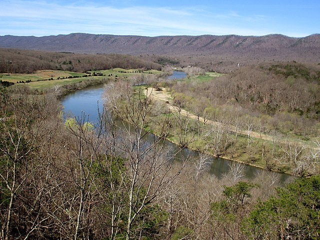
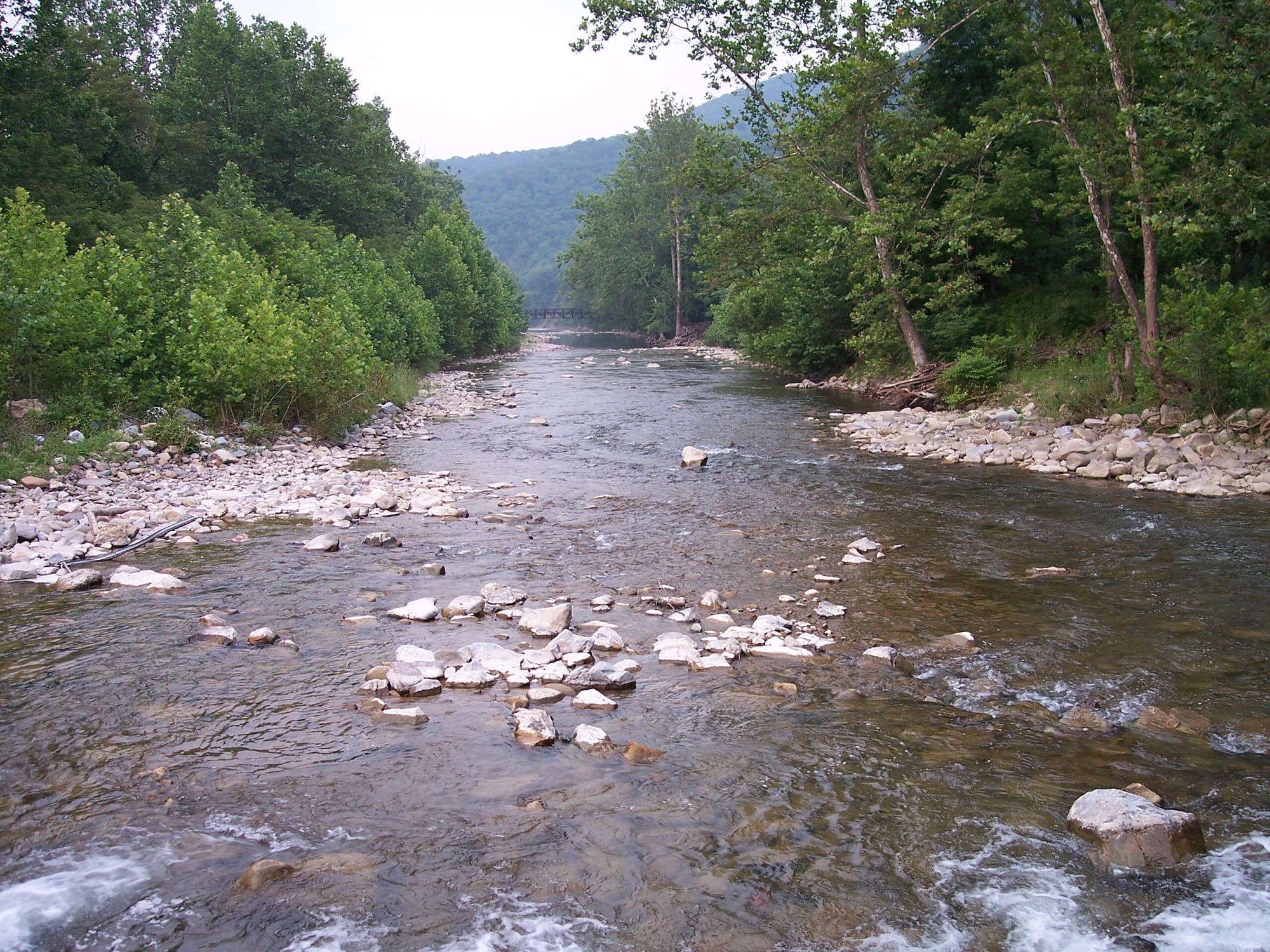
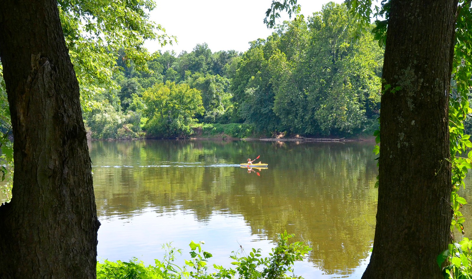
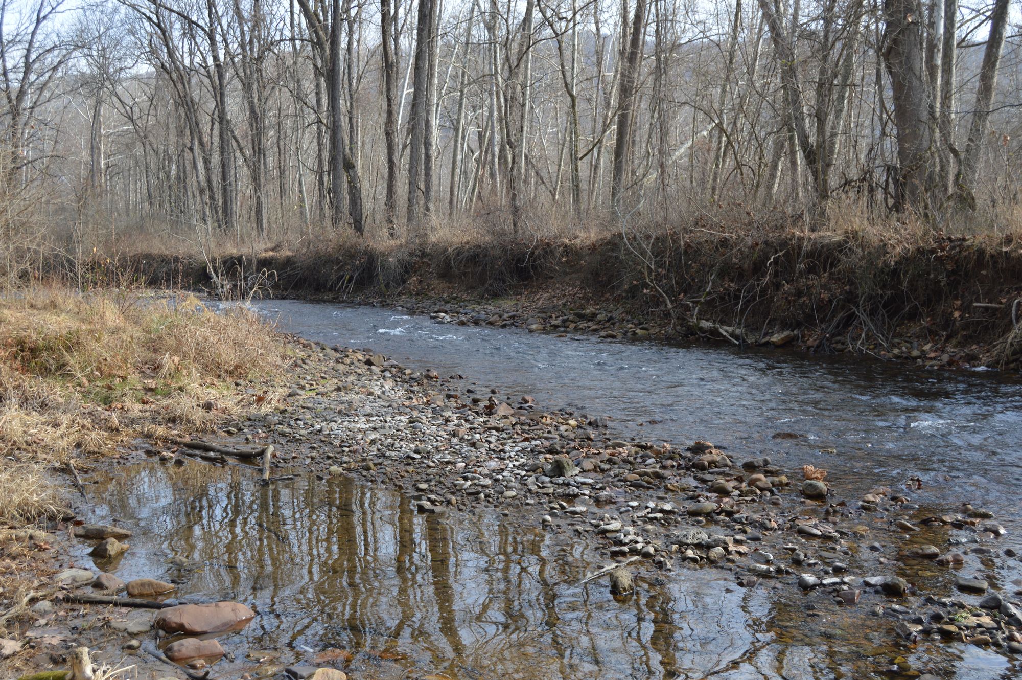
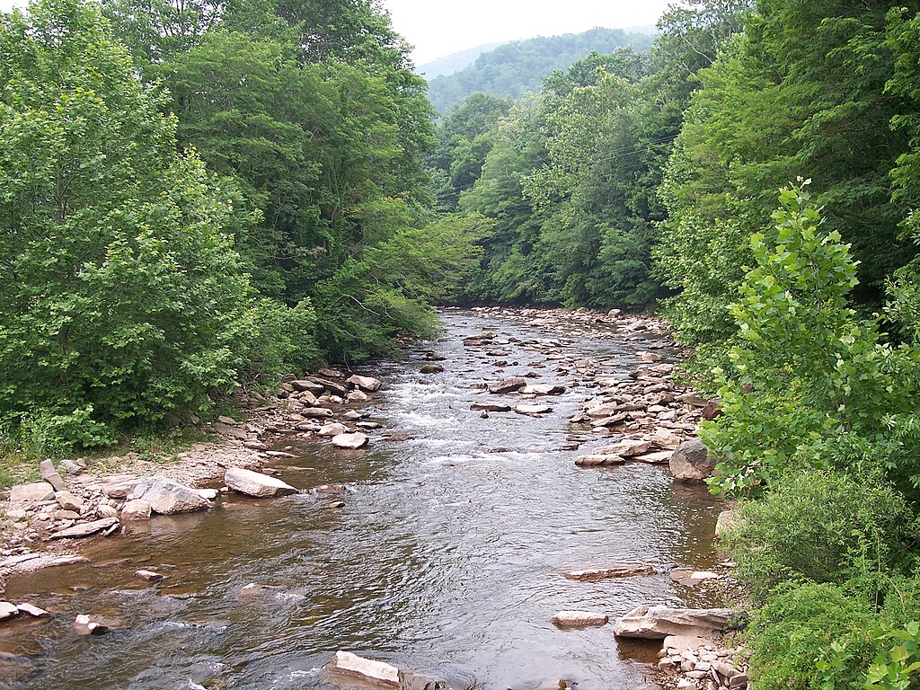
Seneca Creek is a picturesque mountain stream located in the Monongahela National Forest of eastern West Virginia. Originating high on the slopes of Spruce Mountain, it flows northward for approximately 13 miles before joining the North Fork of the South Branch of the Potomac River near Seneca Rocks. The creek carves a scenic path through rugged Appalachian terrain, characterized by steep forested hillsides and rocky outcroppings.
For whitewater enthusiasts, Seneca Creek offers a challenging and scenic paddling experience, with the upper section providing the most intense whitewater. The 5-mile upper stretch from Judy Springs to the Forest Service Campground features continuous Class IV-V+ rapids, steep gradients, and several waterfalls. This section is suitable only for expert paddlers with solid rescue skills and requires a mile-long hike to the put-in. The lower section, from the campground to the Route 28 Bridge, is less documented but likely offers a more moderate paddling experience.
The creek's flow is highly dependent on rainfall and snowmelt, with spring typically providing the most reliable water levels. Late fall can also offer good paddling opportunities after heavy rains. Summer often sees lower water levels, making the creek less suitable for boating but ideal for hiking and camping along its banks.
The surrounding ecosystem is rich in biodiversity, typical of the Central Appalachian forest. Hemlock, spruce, and hardwood trees line the creek, providing habitat for a variety of wildlife including black bears, white-tailed deer, and numerous bird species.
Key landmarks include the series of waterfalls in the upper section and the scenic Spruce Knob-Seneca Rocks National Recreation Area. The nearby town of Seneca Rocks serves as a base for outdoor enthusiasts exploring the region.
Access to Seneca Creek is primarily via Forest Road 112 and the Judy Springs Trail. The remote nature of the area requires careful planning and self-sufficiency. There are no developed facilities along the creek, but dispersed camping is permitted in the national forest.
Seneca Creek holds cultural significance as part of the traditional lands of indigenous peoples and later as an area of early European settlement and logging operations. Today, it's valued for its natural beauty and recreational opportunities.
Safety is paramount when paddling Seneca Creek. The challenging whitewater, remote setting, and potential for rapidly changing water levels demand respect and proper preparation. All boaters should wear appropriate safety gear and be prepared for self-rescue situations.
For those seeking a multi-day adventure, combining a Seneca Creek run with hiking in the surrounding backcountry can create a memorable wilderness experience in one of West Virginia's most beautiful natural areas.
Curated routes
Hand-picked by the PaddleWays team, with put-ins, take-outs, paddle times and the hazards along the way.
RouteClass IV–V
Hazards
No paddler has reported a hazard here yet, so these are the dams, falls and big rapids on our map. Hazards change with flows and storms, so check them before you launch.
Waterfall
Upper Seneca Creek Falls is a spectacular 30-foot waterfall located at the terminus of the Seneca Creek Trail in Monongahela National Forest, accessible via a 5-mile hike from…
From the community
Nobody has shared a trip on Seneca Creek yet. Paddle it, then tell the next paddler how it went.
See exactly where the public can get on and off the river. Launch points and boat ramps are paired with PaddleWays' public land data so you know where you can legally land.
Public shoreline
65%of the river's shoreline is public
Flows, weather and a route-by-route verdict, so you know which stretch of the Seneca Creek is worth paddling today.
No forecast data available.
Live flows, marked hazards and fresh trip reports from paddlers who were just on the water, all in one place.





Every user gets free access to launch points, boat ramps, and public property parcels.
Loading popular cities...
PaddleWays gives you everything you need to plan smarter, paddle better, and own every trip from first launch to takeout.