Curated by PaddleWays
RouteClass I–II
- Distance
- 33.3 mi
- Paddle time
- Multi-day
- Put-in → take-out
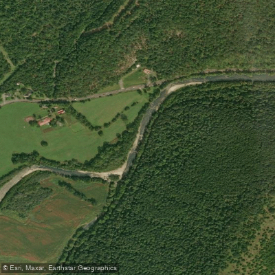
- Romney Bridge Boat Ramp → Mouth of South Branch Boat Ramp
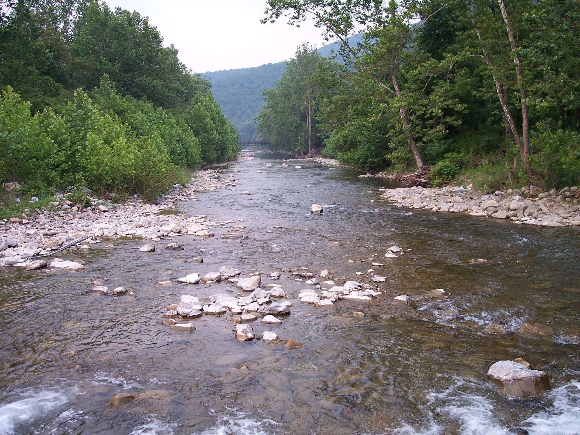
The South Branch Potomac River is a scenic waterway flowing through the eastern panhandle of West Virginia, offering paddlers a diverse range of experiences from peaceful floats to more challenging rapids. This tributary of the Potomac River winds its way northward through picturesque valleys and gorges, carving a path through the Appalachian landscape.
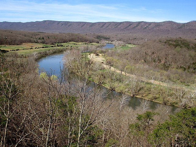
The river provides numerous paddling opportunities, with several popular sections catering to different skill levels. The stretch from Petersburg to Moorefield offers a pleasant 20-mile journey through a varied landscape, where the river valley alternates between wide open areas and narrow "mini-Troughs" with hills hugging the water's edge. Further downstream, the famous Trough section presents a stunning 7-8 mile paddle through a remote, wooded gorge flanked by impressive cliffs rising nearly 2,000 feet.
Generally, the South Branch Potomac is suitable for beginner to intermediate paddlers, with most sections rated as Class I-II. The river's difficulty can vary with water levels, so it's essential to check conditions before embarking on a trip. The Petersburg to Moorefield section and the Trough are particularly popular for family outings and those seeking a taste of wilderness without extreme challenges.
Spring and early summer typically offer the best paddling conditions, with higher water levels from snowmelt and rainfall. However, the river can be enjoyed well into fall, with autumn colors providing a spectacular backdrop for late-season trips. During summer, lower water levels may require more attentive navigation around shallow spots, especially in areas like Moorefield.
The river corridor is home to diverse wildlife, including bald eagles, which are frequently spotted soaring above the water. The surrounding forests and hills showcase the rich flora of the Appalachian region, with a mix of hardwoods and evergreens lining the banks.
Notable landmarks along the South Branch include the Hanging Rocks, impressive perpendicular cliffs rising nearly 300 feet above the river about 4 miles north of Romney. This geological feature, also known as Painted Rocks or Blue's Rocks, serves as a striking backdrop for paddlers and marks a popular take-out point.
Key access points and nearby towns include Petersburg, Moorefield, and Romney, each offering amenities and services for river users. These communities serve as gateways to different sections of the river and provide opportunities to explore the local culture and history of the region.
The South Branch Potomac holds significant historical importance, having been a transportation route and resource for indigenous peoples and early settlers. Today, it continues to play a vital role in the region's ecology and outdoor recreation economy.
Safety considerations include being prepared for changing weather conditions, wearing appropriate safety gear, and being aware of potential hazards such as strainers or low-head dams. It's advisable to check with local outfitters or authorities for current river conditions and any specific regulations.
For those seeking a multi-day adventure, the entire 75-mile stretch from Petersburg to the confluence with the Potomac River offers an excellent opportunity to immerse oneself in the river's changing character. This longer journey allows paddlers to experience the full range of landscapes and ecosystems the South Branch has to offer, from wide valleys to narrow gorges.
Whether you're looking for a short day trip or an extended river journey, the South Branch Potomac River provides a perfect blend of natural beauty, gentle rapids, and rich history, making it a premier paddling destination in the Mid-Atlantic region.
Curated routes
Hand-picked by the PaddleWays team, with put-ins, take-outs, paddle times and the hazards along the way.
RouteClass I–II
RouteClass II–III
RouteClass II
RouteFlatwater
RouteClass I–II
RouteClass II–III
Hazards
No hazards are marked on South Branch Potomac River yet. That is not the same as none being there: if you find one, report it for the next paddler.
From the community
Real trips from PaddleWays paddlers: which route they ran, how the flows were, and what to watch for.
Loading trip reports
Matthew R.
Romney to Potomac River• 449 cfs at Springfield
The trough
See exactly where the public can get on and off the river. Launch points and boat ramps are paired with PaddleWays' public land data so you know where you can legally land.
Public shoreline
15%of the river's shoreline is public
Most of the riverbank is private. Launch, land and camp only at public access points.
Flows, weather and a route-by-route verdict, so you know which stretch of the South Branch Potomac River is worth paddling today.
All Flow Stations
Live flows, marked hazards and fresh trip reports from paddlers who were just on the water, all in one place.





Every user gets free access to launch points, boat ramps, and public property parcels.
Loading popular cities...
PaddleWays gives you everything you need to plan smarter, paddle better, and own every trip from first launch to takeout.