Lake Anna
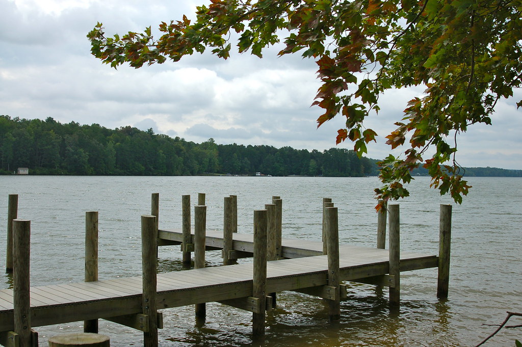
Lake Anna
- Boat Ramps
- 14
- Access Points
- 16
- Campsites
- 1
Lake Anna is a 13,000-acre lake located in Virginia, offering 200 miles of shoreline for paddlers to explore. The lake features both a public "cold side" and a private "warm side" separated by three stone dikes. Kayaking and stand-up paddleboarding are popular activities, with rentals available from local outfitters. The lake's expansive size provides ample space for paddlers to find tranquil areas away from motorized boat traffic.
Access points include Lake Anna State Park, which offers a boat launch and beach area. The park's 3,127 acres contain over 15 miles of trails, allowing paddlers to combine water activities with hiking. For wildlife enthusiasts, the lake is home to various fish species including largemouth bass, crappie, and striper.
Water temperatures are typically suitable for comfortable paddling from late spring through early fall. The lake is known for its clean, clear waters, though paddlers should be aware that the lake serves as a cooling system for a nearby nuclear power plant.
Paddlers can explore numerous coves and inlets along the shoreline. The lake's geography includes both open water areas and more sheltered sections, providing options for paddlers of different skill levels. Historical points of interest include the remnants of the Goodwin Gold Mine, which operated in the area in the 1800s before the lake's creation in 1971.
Lake Anna State Park offers amenities such as picnic areas, restrooms, and a visitor center with exhibits on local wildlife and gold mining history. Paddlers should note that the park can reach capacity on busy summer weekends, so arriving early is recommended. While specific paddling regulations are not detailed, standard water safety practices should be observed.
Water access, boat ramps & amenities
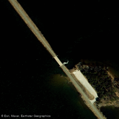
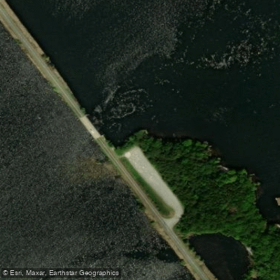
Learn how to get on Lake Anna. Uncover great paddling access points, boat ramps, and all the facilities you need for an unforgettable day on the water. Some locations shown may border or include private property. Always check property boundaries and applicable regulations before visiting. PaddleWays's Public & Private Land layer can help you plan your access with confidence.
Paddle smarter with real-time insights
Whether you're en route and conditions shift or you're looking for the best spot based on current flows, we enable you to make informed decisions on the fly.








Find Places to Paddle

Over 400,000 Places to Paddle
Every user gets free access to launch points, boat ramps, and public property parcels.


Water and weather conditions (10 day forecast)
See the best times to paddle Lake Anna and check the forecast before you go.
LAKE ANNA NEAR HENRYS POINT NEAR HOLLADAY, VA
All Flow Stations
Paddling near Lake Anna

Rappahannock River

Potomac River
Potomac Creek
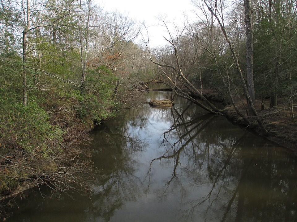
Mattaponi River
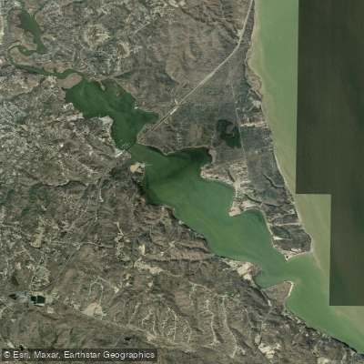
Aquia Creek

James River

Patuxent River
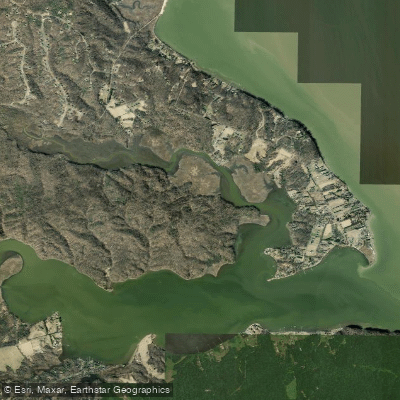
Accokeek Creek
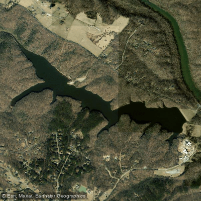
Motts Run Reservoir
Explore Virginia waters
Top paddling waters
Popular Cities
Loading popular cities...
Explore near Lake Anna
Access points
- Christopher Run Campground Boat Ramp
- Anna Point Marina Boat Ramp
- Lakewood Circle Boat Ramp
- Pleasant Landing Boat Ramp
- Twin Lakes Lane East Boat Ramp
- Dukes Creek Boat Ramp
- Mobile Watercraft Boat Ramp
- The Boardwalk on Lake Anna Boat Ramp
- Twin Lakes Lane West Boat Ramp
- The Cove at Lake Anna Boat Ramp
- High Point Marina Boat Ramp
- Sturgeon Creek Marina Boat Ramp
- All 17 spots
Nearby waters
More in Virginia

Smarter Paddling Starts in the App.
Paddleways gives you everything you need to plan smarter, paddle better, and own every trip from first launch to takeout.