Stony Creek
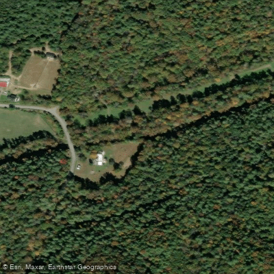
Stony Creek
- Boat Ramps
- 0
- Access Points
- 0
- Campsites
- 0
Stony Creek originates in the George Washington National Forest and flows northward through Shenandoah County, Virginia, eventually joining the North Fork Shenandoah River near Edinburg. This freestone stream cuts through limestone and shale formations characteristic of the Valley and Ridge physiographic province, creating a mix of riffles, pools, and small rapids as it descends from the mountains.
The creek offers approximately 15.5 miles of paddleable water from Liberty Furnace downstream to its confluence with the North Fork Shenandoah River. This section has been classified as Class I-III whitewater, making it suitable for intermediate paddlers with some moving water experience. The upper reaches near Liberty Furnace provide more technical challenges, while lower sections become progressively calmer as the creek approaches the North Fork. Paddling opportunities are best from late fall through late spring when water levels are sufficient.
The creek is stocked with trout by the Virginia Department of Wildlife Resources eight times annually between October and May, as summer temperatures become too warm for trout survival. This stocking schedule coincides with optimal paddling conditions, though paddlers should be aware of anglers during these months.
The watershed supports a healthy riparian ecosystem with American holly, rhododendron, and wildflowers lining the banks. The creek provides habitat for both stocked rainbow trout and native brook trout in its tributaries. The endangered Candy Darter, considered one of North America's most colorful freshwater fish, inhabits these waters.
Access points include the area near Liberty Furnace in the upper section and various locations downstream toward Edinburg. The creek flows past Columbia Furnace, a historic iron-making site that operated in the 19th century. Big Stony Creek Road (Route 635) parallels much of the creek, providing road access to multiple put-in and take-out locations.
Harry Murray's Fly Shop in Edinburg serves as a local resource for creek conditions and is recognized as the oldest fly shop in Virginia. The shop holds the only permit to guide on small streams within Shenandoah National Park and provides expertise on Stony Creek fishing and paddling conditions.
Paddlers should note that water levels fluctuate significantly with rainfall, and the creek can become too low for navigation during dry periods or too dangerous during high water. The rocky streambed requires attention to avoid obstacles, and the relatively small size of the creek means that fallen trees and debris can create hazards that change seasonally.
Water access, boat ramps & amenities
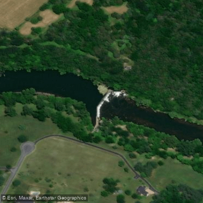
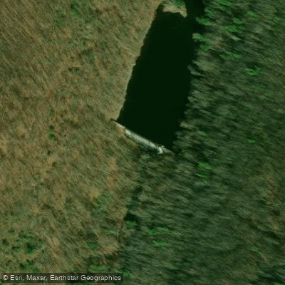
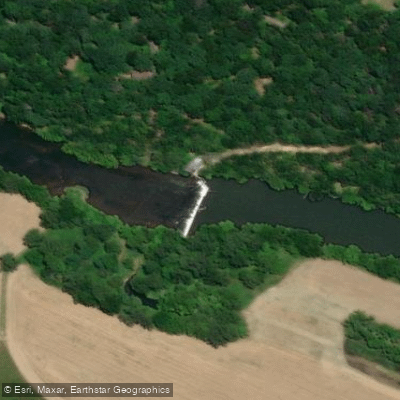
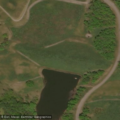
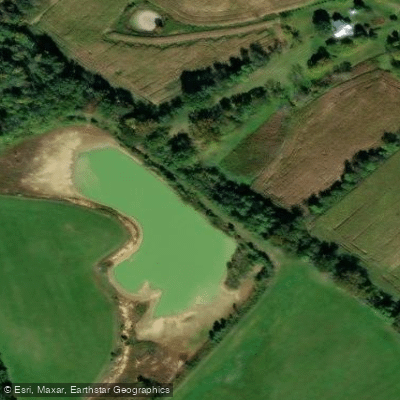
Learn how to get on Stony Creek. Uncover great paddling access points, boat ramps, and all the facilities you need for an unforgettable day on the water. Some locations shown may border or include private property. Always check property boundaries and applicable regulations before visiting. PaddleWays's Public & Private Land layer can help you plan your access with confidence.
Paddle smarter with real-time insights
Whether you're en route and conditions shift or you're looking for the best spot based on current flows, we enable you to make informed decisions on the fly.








Find Places to Paddle

Over 400,000 Places to Paddle
Every user gets free access to launch points, boat ramps, and public property parcels.


Water and weather conditions (10 day forecast)
See the best times to paddle Stony Creek and check the forecast before you go.
No forecast data available.
Paddling near Stony Creek
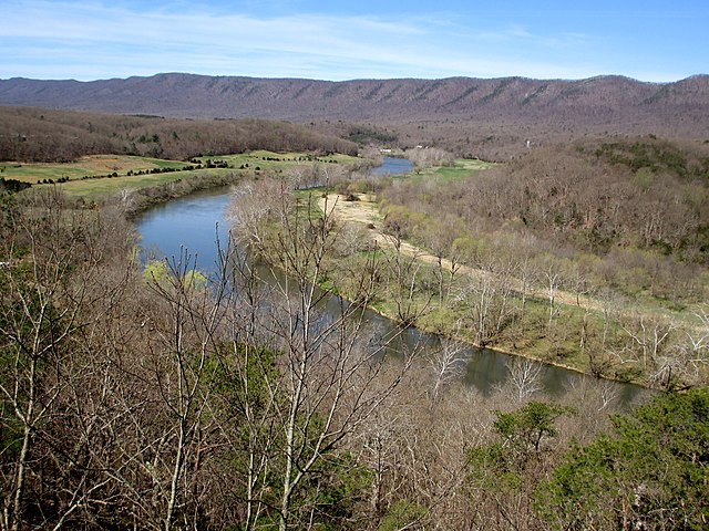
South Fork Shenandoah River

Rappahannock River
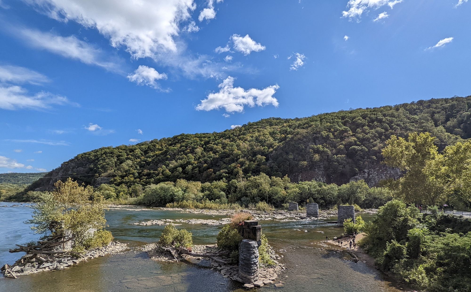
Shenandoah River
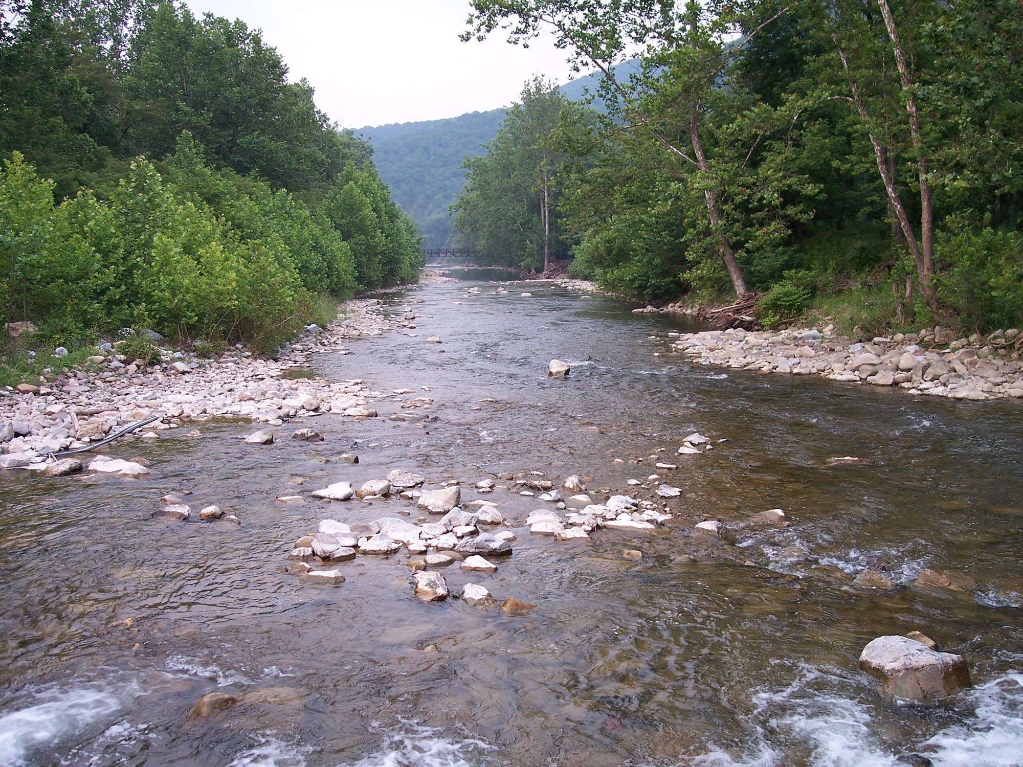
North Fork South Branch Potomac River
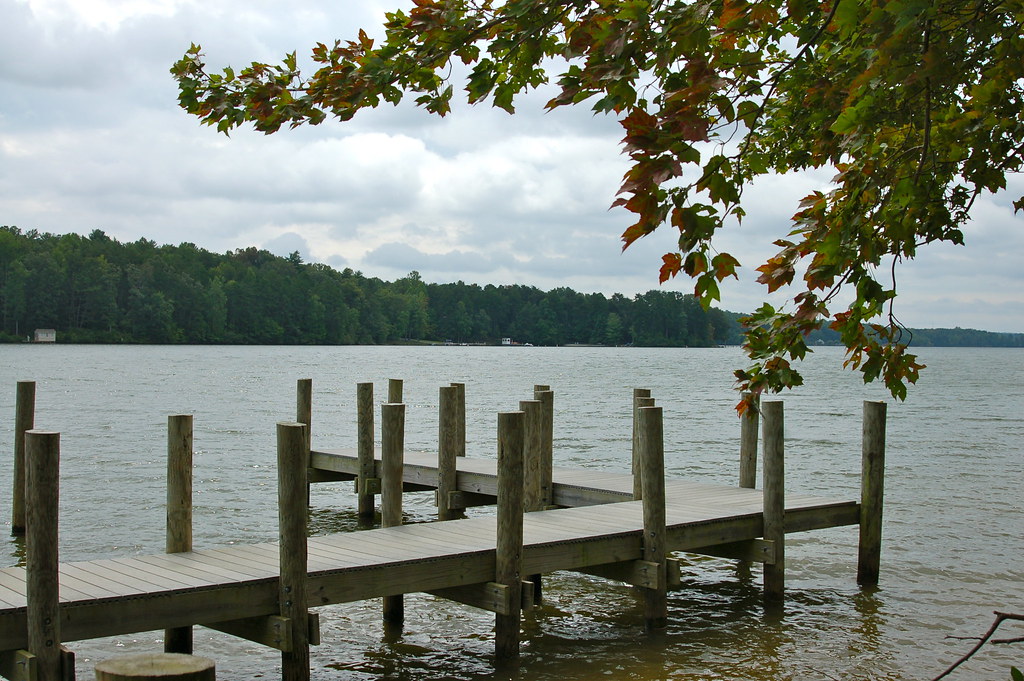
Lake Anna
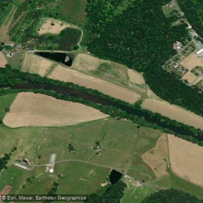
North Fork Shenandoah River
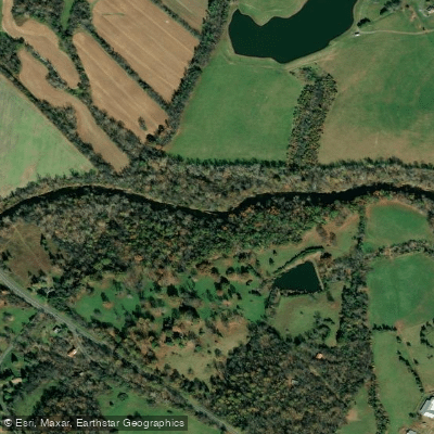
Rapidan River
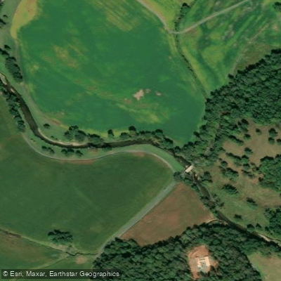
Robinson River
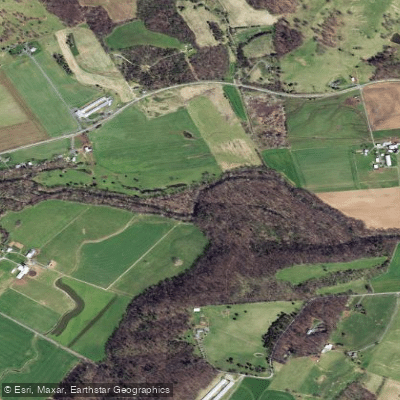
North River
Explore Virginia waters
Top paddling waters
Popular Cities
Loading popular cities...

Smarter Paddling Starts in the App.
Paddleways gives you everything you need to plan smarter, paddle better, and own every trip from first launch to takeout.