Curated by PaddleWays
RouteFlatwater
- Distance
- 4.2 mi
- Paddle time
- ~1.5 hrs
- Put-in → take-out
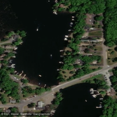
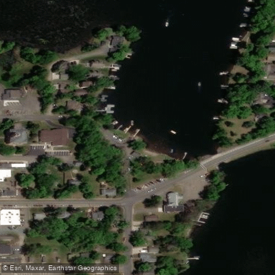
- Kennedy Dam Access → Sunrise Beach Public Access
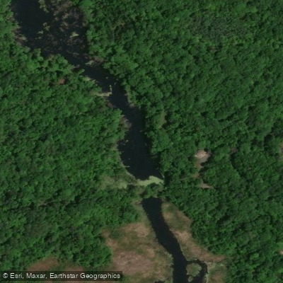
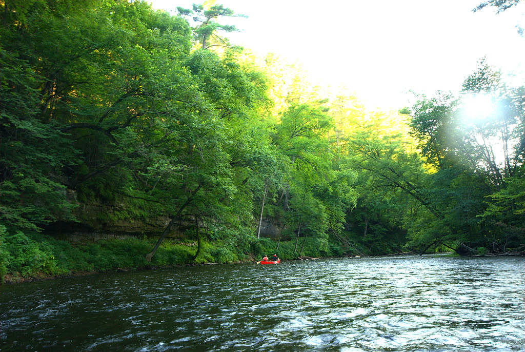
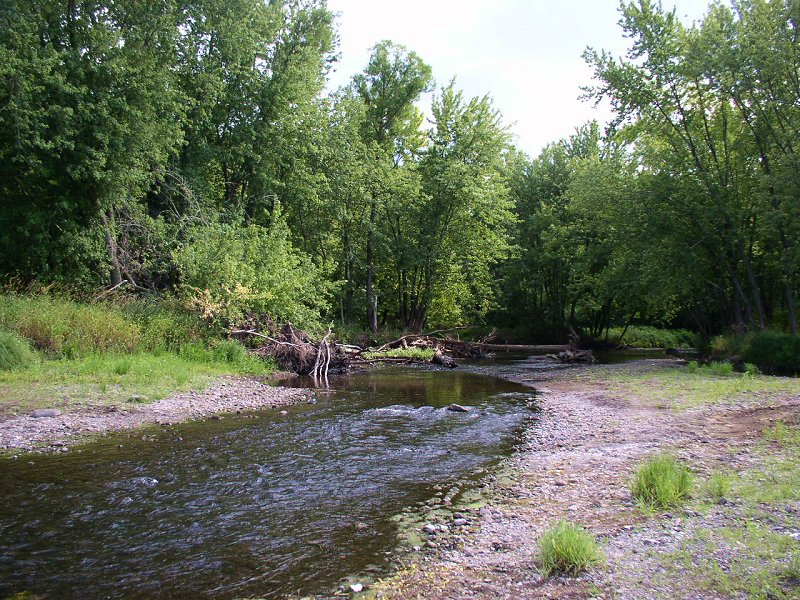
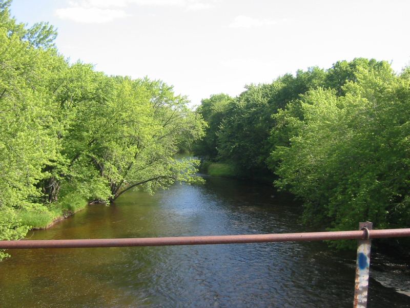
The Balsam Branch is a scenic waterway located in Polk County, Wisconsin. This river system originates at Balsam Lake in central Polk County and flows southward, eventually joining the Apple River. The Balsam Branch is part of the larger St. Croix River watershed. Paddling opportunities on the Balsam Branch are somewhat limited, with the most accessible section being from Balsam Lake to Lake Wapogasset. This approximately 8-mile stretch offers a peaceful flatwater experience through Wisconsin's picturesque lake country. The route passes through the 180-acre Balsam Branch Wildlife Area, providing paddlers with opportunities to observe local flora and fauna.
While the overall difficulty of the Balsam Branch is generally considered flatwater, paddlers should be aware that water levels can fluctuate seasonally. Low water conditions may make parts of the river impassable, particularly in late summer and early fall. Spring and early summer typically offer the best paddling conditions.
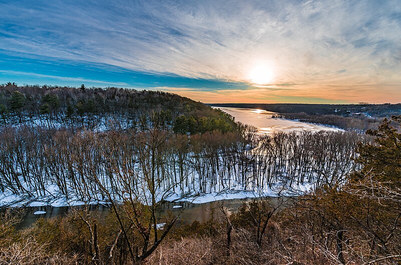
The Balsam Branch supports a diverse ecosystem. The surrounding wildlife area features marsh, pond, prairie grass fields, and upland habitats. Paddlers may encounter various bird species, small mammals, and potentially deer along the shorelines. Key landmarks include the Balsam Branch Dam and the scenic Lake Wapogasset, also known as Lake of the Big Fish. At over 1,400 acres, Lake Wapogasset is the third-largest body of water in Polk County and a popular destination for fishing and water sports.
Access points for paddling the Balsam Branch are limited. The primary put-in is at Balsam Lake, with a take-out at Lake Wapogasset. The nearby town of Amery serves as a good base for exploring the area. While not widely known for its paddling, the Balsam Branch area holds cultural significance as part of Wisconsin's lake country. The region has a long history of outdoor recreation and conservation efforts.
Safety considerations include checking water levels before paddling, as low levels can create obstacles. Paddlers should also be aware of potential dams or other structures along the route. For those seeking longer paddling adventures, combining a trip on the Balsam Branch with exploration of the nearby Apple River or St. Croix River can create multi-day options. The St. Croix River, in particular, offers numerous back channels and scenic stretches suitable for extended trips.
Overall, while the Balsam Branch may not be a premier paddling destination, it offers a serene flatwater experience for those looking to explore Wisconsin's quieter waterways and lake country landscapes.
Curated routes
Hand-picked by the PaddleWays team, with put-ins, take-outs, paddle times and the hazards along the way.
RouteFlatwater
RouteFlatwater
Hazards
No paddler has reported a hazard here yet, so these are the dams, falls and big rapids on our map. Hazards change with flows and storms, so check them before you launch.
From the community
Nobody has shared a trip on Balsam Branch yet. Paddle it, then tell the next paddler how it went.
See exactly where the public can get on and off the river. Launch points and boat ramps are paired with PaddleWays' public land data so you know where you can legally land.
Public shoreline
1%of the river's shoreline is public
Most of the riverbank is private. Launch, land and camp only at public access points.
Flows, weather and a route-by-route verdict, so you know which stretch of the Balsam Branch is worth paddling today.
No forecast data available.
Live flows, marked hazards and fresh trip reports from paddlers who were just on the water, all in one place.





Every user gets free access to launch points, boat ramps, and public property parcels.

Loading popular cities...
PaddleWays gives you everything you need to plan smarter, paddle better, and own every trip from first launch to takeout.