Curated by PaddleWays
RouteClass I–II
- Distance
- 1.8 mi
- Paddle time
- ~0.5 hrs
- Best for
- Experienced paddlers
- Put-in → take-out
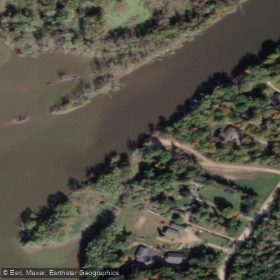
- Big Rapids Park → Highway 97
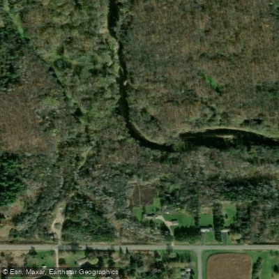
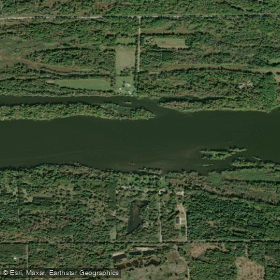
The Big Eau Pleine River is a scenic waterway located in central Wisconsin, flowing generally eastward before joining the Wisconsin River. This river offers paddlers a mix of gentle flows and mild whitewater, making it an attractive destination for intermediate canoeists and kayakers. The river features several popular paddling sections, with the stretch from Hazelnut Road to Highway M being particularly noteworthy. This approximately 18-mile segment can be broken into shorter trips, including the 6.1-mile run from Hazelnut Road to March Rapids Park, the 3.4-mile section from March Rapids Park to Big Rapids Park, and the 8.5-mile stretch from Big Rapids Park to Highway M.
Overall, the Big Eau Pleine River presents Class I to II rapids, with difficulty varying based on water levels. Most sections are suitable for intermediate paddlers, though some experience with moving water is recommended. The river tends to be relatively shallow in many areas, which can affect paddling conditions during low water periods. Spring and early summer typically offer the best paddling conditions, with water levels around 300-400 CFS providing good flow. However, the river can be enjoyed throughout the warm season, with each period offering unique scenery and wildlife viewing opportunities.
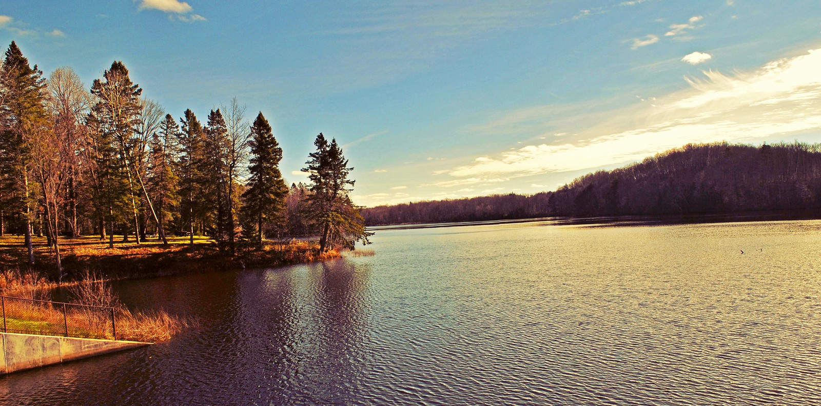
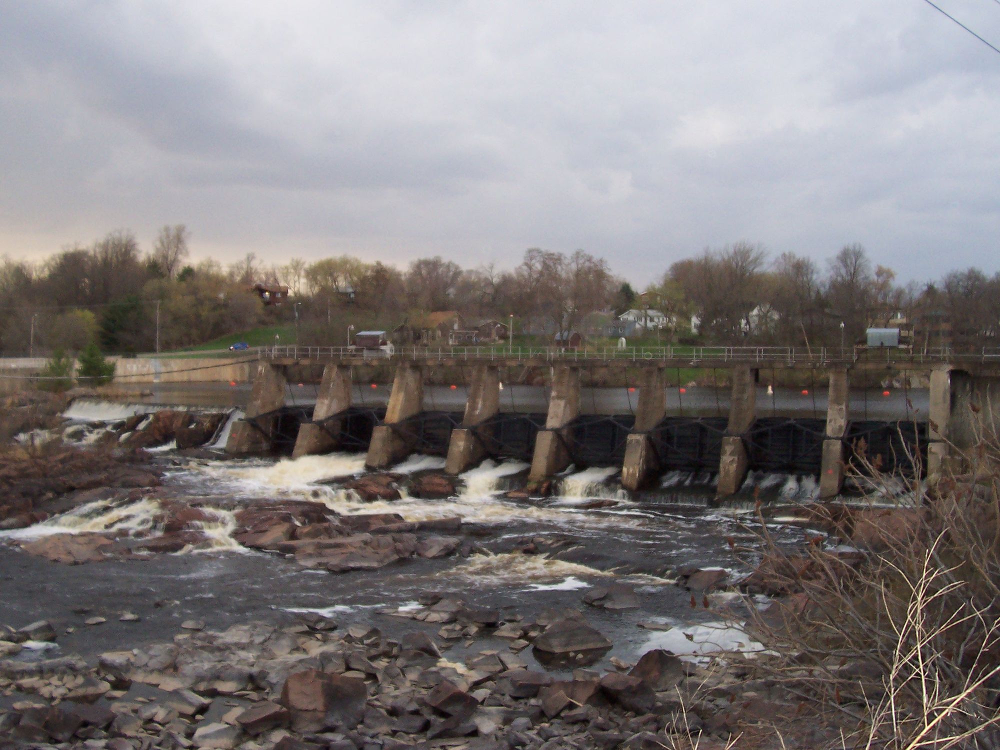
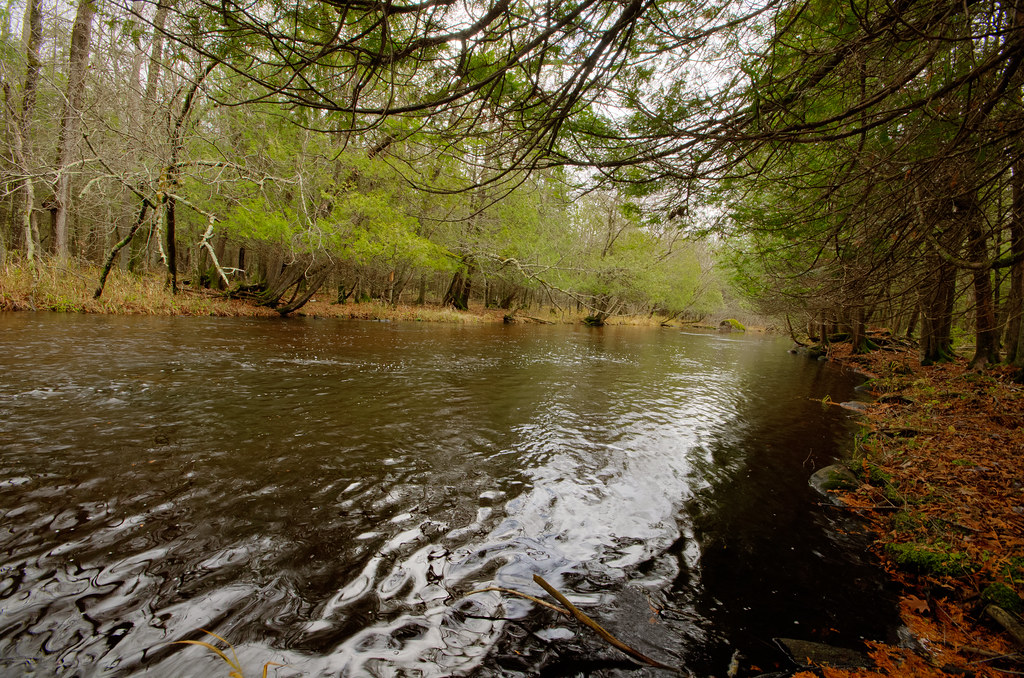
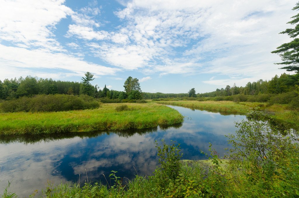
The Big Eau Pleine flows through a mix of forested areas and rural Wisconsin countryside, providing paddlers with scenic views and opportunities to spot local wildlife. The river corridor is home to various bird species, and lucky paddlers might catch glimpses of deer or other mammals along the shoreline. Key landmarks along the river include March Rapids Park and Big Rapids Park, both of which serve as popular access points. Big Rapids Park, a 33-acre county park located 7 miles north of Stratford, offers amenities such as parking, picnic areas, and camping facilities, making it an excellent base for exploring the river.
For those interested in multi-day trips, combining several sections of the river is possible, with Big Rapids Park serving as a convenient overnight stop. Paddlers should be aware of potential logjams and strainers, especially after high water events, and should always check current conditions before embarking on a trip. The Big Eau Pleine River, while perhaps not as well-known as some of Wisconsin's other paddling destinations, offers a rewarding experience for those seeking a mix of scenic flatwater and mild rapids in a less crowded setting. Its accessibility from nearby towns and variety of trip options make it a valuable resource for central Wisconsin's outdoor enthusiasts.
Curated routes
Hand-picked by the PaddleWays team, with put-ins, take-outs, paddle times and the hazards along the way.
RouteClass I–II
RouteClass I–II
RouteClass I–II
RouteClass I–II
Hazards
No paddler has reported a hazard here yet, so these are the dams, falls and big rapids on our map. Hazards change with flows and storms, so check them before you launch.
From the community
Nobody has shared a trip on Big Eau Pleine River yet. Paddle it, then tell the next paddler how it went.
See exactly where the public can get on and off the river. Launch points and boat ramps are paired with PaddleWays' public land data so you know where you can legally land.
Public shoreline
4%of the river's shoreline is public
Most of the riverbank is private. Launch, land and camp only at public access points.
Flows, weather and a route-by-route verdict, so you know which stretch of the Big Eau Pleine River is worth paddling today.
Live flows, marked hazards and fresh trip reports from paddlers who were just on the water, all in one place.





Every user gets free access to launch points, boat ramps, and public property parcels.
Loading popular cities...
PaddleWays gives you everything you need to plan smarter, paddle better, and own every trip from first launch to takeout.