Curated by PaddleWays
RouteClass I–II
- Distance
- 3.1 mi
- Paddle time
- ~1 hr
- Best for
- Beginners
- Put-in → take-out
- Amco Park
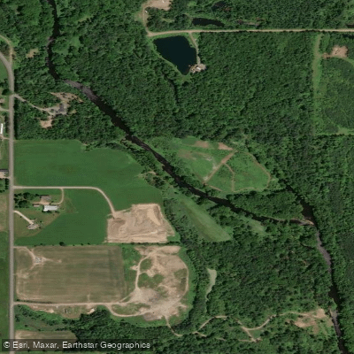
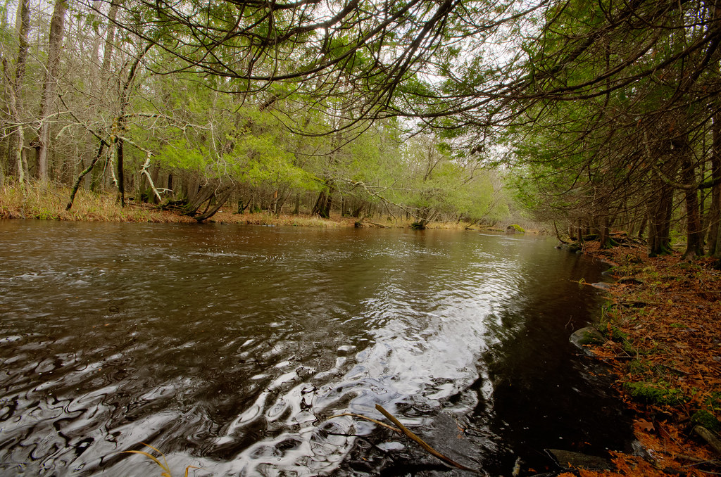
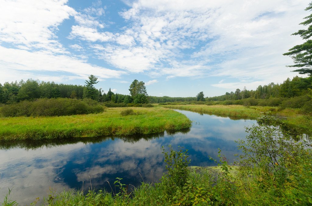
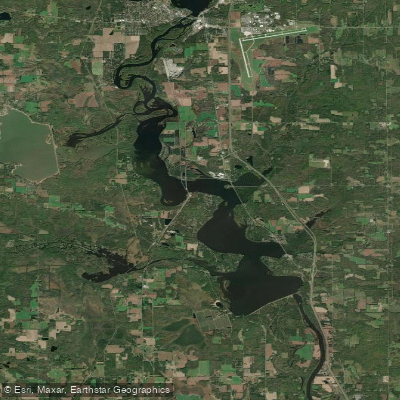
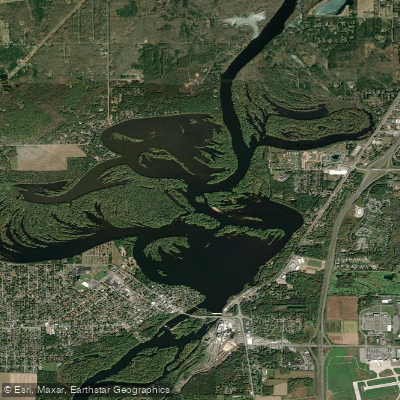
The Big Rib River is a notable waterway in central Wisconsin, originating in the northern part of the state and flowing southward. As a tributary of the Wisconsin River, it plays a crucial role in the region's watershed. The river averages about 70 feet in width, giving it a substantial feel compared to smaller creeks in the area.
Paddling opportunities on the Big Rib River are diverse and cater to various skill levels. The river is divided into several popular sections, including the challenging Rib Dells stretch near Highway 64, which features Class II rapids over a 2.5-mile run with an average gradient of 22 feet per mile. Other notable segments include the Goodrich to County Road A section, offering a mix of scenic views and whitewater, and the County Road A to Rib Falls stretch, which is popular among local Marathon County paddlers.
The overall difficulty of the Big Rib River ranges from Class I to III, with some sections suitable for beginners and others demanding more experienced paddlers. The Rib Dells section, in particular, requires solid whitewater skills. While not considered among the top-tier water trails in central Wisconsin, the Big Rib River still provides enjoyable paddling experiences.
The river's flow can vary significantly, with optimal conditions often occurring in spring and early summer. At 170 CFS or 2.65 feet, the river offers good paddling conditions for many sections.
The river corridor supports a variety of flora and fauna, with opportunities for wildlife viewing and birding. Black Creek, a noteworthy tributary located about five miles southwest of Amco Park, offers additional exploration possibilities.
Key access points include Goodrich, County Road A, Rib Falls County Park, and locations near Marathon City. These put-ins and take-outs allow paddlers to customize their trips based on desired length and difficulty.
For those interested in multi-day adventures, combining sections like County Road F to County Road A (11 miles) with County Road A to Rib Falls (7.7 miles) can create longer journeys. The river's proximity to towns like Wausau provides convenient logistics for extended trips.
Safety considerations include checking current water levels and being prepared for varying conditions. Some sections, like the Rib Dells, require careful scouting and potentially portaging for less experienced paddlers.
The Big Rib River, while not as renowned as some of Wisconsin's premier paddling destinations, offers a rewarding experience for those seeking to explore central Wisconsin's waterways. Its mix of gentle flows and challenging rapids, coupled with scenic surroundings, makes it a worthy destination for paddlers of various skill levels.
Curated routes
Hand-picked by the PaddleWays team, with put-ins, take-outs, paddle times and the hazards along the way.
RouteClass I–II
RouteClass I–II
RouteClass II–III
RouteClass II–III
Hazards
No paddler has reported a hazard here yet, so these are the dams, falls and big rapids on our map. Hazards change with flows and storms, so check them before you launch.
From the community
Nobody has shared a trip on Big Rib River yet. Paddle it, then tell the next paddler how it went.
See exactly where the public can get on and off the river. Launch points and boat ramps are paired with PaddleWays' public land data so you know where you can legally land.
Public shoreline
15%of the river's shoreline is public
Most of the riverbank is private. Launch, land and camp only at public access points.
Flows, weather and a route-by-route verdict, so you know which stretch of the Big Rib River is worth paddling today.
Live flows, marked hazards and fresh trip reports from paddlers who were just on the water, all in one place.





Every user gets free access to launch points, boat ramps, and public property parcels.
Loading popular cities...
PaddleWays gives you everything you need to plan smarter, paddle better, and own every trip from first launch to takeout.





