Curated by PaddleWays
RouteClass I–II
- Distance
- 16.2 mi
- Paddle time
- 6–8 hrs
- Best for
- Beginners, intermediate paddlers
- Put-in → take-out
- Brule River Access Hwy 139 → Brule River Access
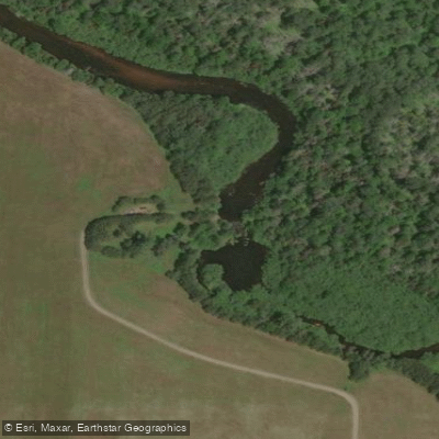
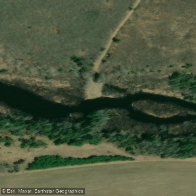
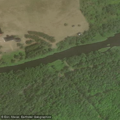
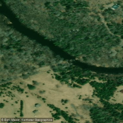
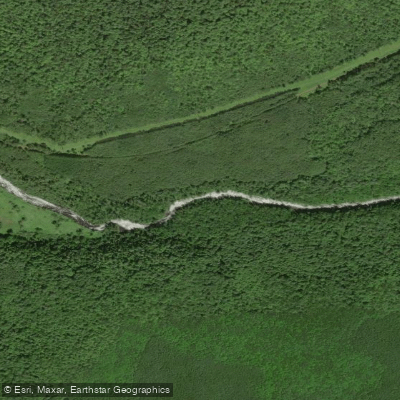
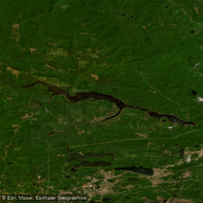
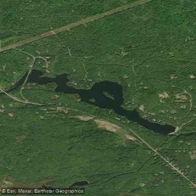
The Brule River forms a natural boundary between Wisconsin and Michigan's Upper Peninsula for approximately 44-55 miles of its course, flowing through Florence County, Wisconsin, and Iron County, Michigan, with headwaters originating near the Forest County line. Beginning at Brule Lake on the state border, the river winds generally east and southeast through remote northwoods terrain before joining the Michigamme River near Florence to form the Menominee River, which ultimately reaches Lake Michigan's Green Bay. This intimate waterway maintains a character distinctly different from its more famous namesake, the Bois Brule River in northwestern Wisconsin.
The border Brule courses through dense northern lowland forests of spruce, tamarack, cedar, and mixed hardwoods, with the Chequamegon-Nicolet National Forest dominating the Wisconsin shoreline and Michigan DNR lands flanking the opposite bank. The river typically measures 35-50 feet wide with clear to tannin-stained water flowing over sand, gravel, and occasional bedrock granite, creating excellent trout habitat throughout much of its length.
Paddling opportunities range from beginner-friendly quietwater sections to intermediate whitewater stretches. The upper river from Highway 55 to Highway 139 features meandering bog sections interspersed with Class I-II rapids through boulder gardens. Downstream from Highway 139 to Forest Road 2150, paddlers encounter more consistent riffles and light rapids, including named drops like Twin's Rapids, Railroad Rapids, and Two Foot Falls. The gradient averages approximately 7.5 feet per mile, with steeper sections near Pentoga where short Class I-II rapids punctuate longer calm stretches. Water levels typically remain reliable due to spring-fed tributaries, though late summer can present shallow conditions requiring careful rock-dodging.
Brook trout dominate the upper reaches, with brown trout becoming more prevalent downstream. Fish regularly reach 14-18 inches, with occasional browns exceeding 20 inches. Wildlife sightings commonly include white-tailed deer, beaver, river otter, common mergansers, wood ducks, great blue herons, and various warbler species. The surrounding boreal landscape supports extensive trillium displays in spring and vibrant fall colors.
Access points include bridges at Highway 55 (Alvin area), Highway 139 (near Tipler), Forest Roads 2152 and 2150, Pentoga Road, and US Highway 2/141. The Brule River Campground provides riverside camping access. Crystal Falls and Iron River serve as the nearest supply towns, both within reasonable driving distance.
French explorers named the river "Brule" (meaning "burned") after observing fire-damaged forests near its confluence with the Menominee. The Ojibwe called it "We-sa-co-ta." Logging operations historically utilized the river for log drives, leaving remnants of old dams and splash dams visible along certain stretches.
Paddlers should note that Michigan-Wisconsin Boundary Water Regulations apply, requiring only one state's license for fishing throughout. The remote nature demands self-sufficiency, as development is minimal with perhaps a dozen structures visible along the entire navigable length. Two primitive riverside campsites exist for overnight trips. Shuttle distances can be lengthy due to limited road access through national forest lands, with some routes requiring travel on unpaved forest roads.
Curated routes
Hand-picked by the PaddleWays team, with put-ins, take-outs, paddle times and the hazards along the way.
RouteClass I–II
Hazards
No paddler has reported a hazard here yet, so these are the dams, falls and big rapids on our map. Hazards change with flows and storms, so check them before you launch.
From the community
Nobody has shared a trip on Brule River yet. Paddle it, then tell the next paddler how it went.
See exactly where the public can get on and off the river. Launch points and boat ramps are paired with PaddleWays' public land data so you know where you can legally land.
Public shoreline
54%of the river's shoreline is public
Flows, weather and a route-by-route verdict, so you know which stretch of the Brule River is worth paddling today.
All Flow Stations
Live flows, marked hazards and fresh trip reports from paddlers who were just on the water, all in one place.





Every user gets free access to launch points, boat ramps, and public property parcels.

Loading popular cities...
PaddleWays gives you everything you need to plan smarter, paddle better, and own every trip from first launch to takeout.