Chippewa River
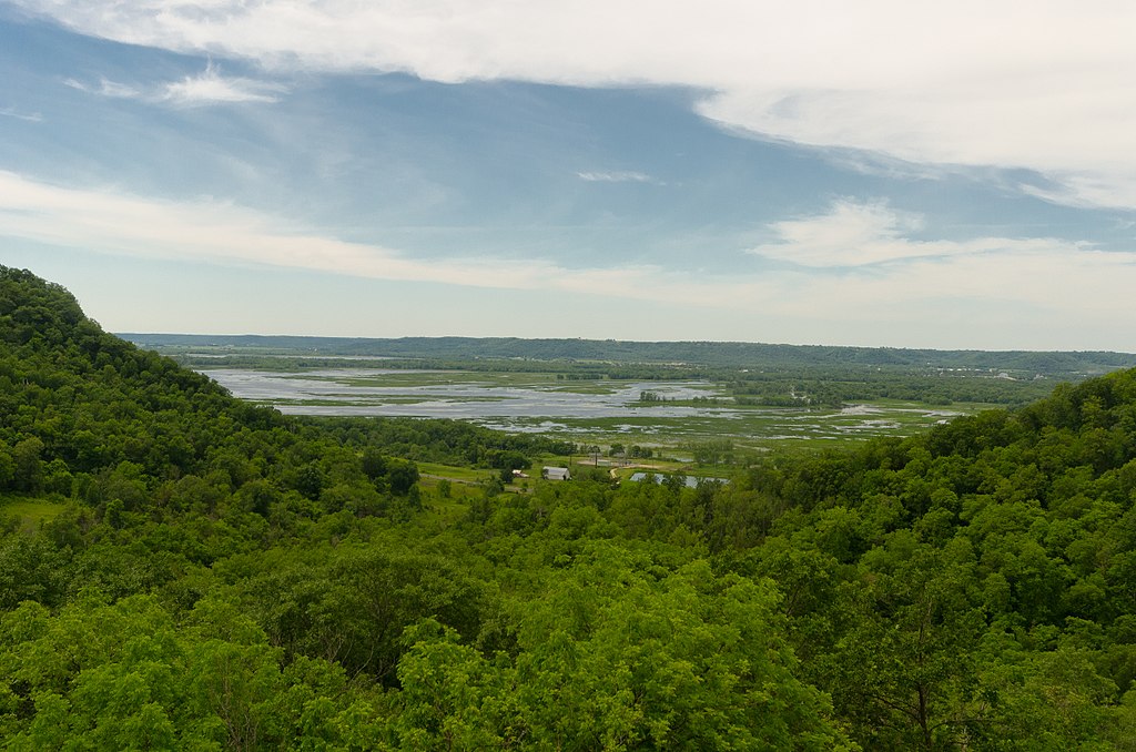
Chippewa River
- Boat Ramps
- 12
- Access Points
- 15
- Campsites
- 11
Chippewa River offers paddlers a quintessential Minnesota river experience as it winds through Wabasha County's rolling farmland and wooded valleys before joining the mighty Mississippi. This tributary showcases the region's agricultural heritage while providing surprisingly wild stretches that feel far removed from civilization.
The most popular section runs from Highway 35 bridge to the beach landing in Wabasha beneath the electrical transmission tower, covering approximately 5.2 miles of easy to moderate paddling. This downstream float typically takes 2-4 hours depending on water levels and your pace. The river here maintains a gentle current with no significant rapids, making it accessible for beginners while still engaging for experienced paddlers seeking a relaxing day on the water.
You'll find the Highway 35 put-in easily accessible with adequate parking, though the concrete ramp primarily serves motorboats. From here, the Chippewa meanders through a landscape of protected forest and wetlands, part of the Upper Mississippi River National Wildlife and Fish Refuge. The river corridor feels remarkably undeveloped for much of this stretch, with oak savannas, prairies, and pine barrens creating a sense of wilderness.
The paddling experience varies with the seasons and water levels. Spring offers the most reliable flows but can bring cooler water temperatures requiring appropriate gear. Summer provides warm, comfortable conditions, though you'll encounter more recreational boat traffic as you approach the Mississippi confluence. Fall delivers spectacular foliage along the wooded banks, while winter paddling remains possible during mild spells.
Wildlife viewing opportunities abound throughout this section. Bald eagles nest along the river, and you'll likely spot several during your trip, along with osprey, great blue herons, and various waterfowl. White-tailed deer frequent the shoreline, and the diverse habitat supports turkey vultures, owls, and numerous songbird species. The fishing can be excellent, with both Minnesota and Wisconsin licenses valid between the railroad tracks that border the Mississippi.
As you approach Wabasha, the river widens and the current slows. The final portion includes a brief but memorable crossing of the Mississippi River itself – a highlight that adds scale and grandeur to the trip. Exercise caution here, as barge traffic and powerboats create potentially hazardous conditions. Stay well clear of the navigation channel marked by red and green buoys, paddling instead between the shore and buoys or behind islands.
The take-out at Wabasha's beach landing sits conveniently beneath the prominent electrical transmission tower on river right, making it easily identifiable from the water. This location provides good access and parking while positioning you perfectly for exploring Wabasha's historic downtown or grabbing a meal at nearby restaurants.
Water levels generally remain paddleable throughout the season, though late summer can bring shallower conditions. The river's wide, meandering character means you'll rarely encounter strainers or significant obstacles, though always remain alert for downed trees, especially after storms. The gentle gradient and forgiving nature make this an ideal choice for families or those new to river paddling.
What makes the Chippewa River special in Wabasha County is its ability to provide both solitude and accessibility. The protected corridor offers genuine wilderness experiences despite being easily reached from the Twin Cities or Rochester. The combination of diverse wildlife, varied scenery, and the dramatic finale at the Mississippi creates a memorable paddling adventure that captures the essence of southeastern Minnesota's river country.
The shuttle between put-in and take-out covers about 10 minutes by car, making logistics simple for day trips. For those seeking extended adventures, the Chippewa connects to longer routes both upstream and down the Mississippi, offering multi-day possibilities with camping on sandbars and islands.
Water access, boat ramps & amenities
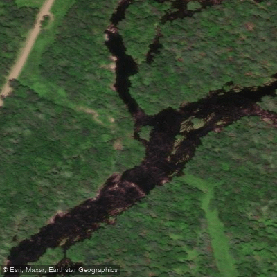
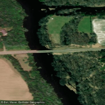
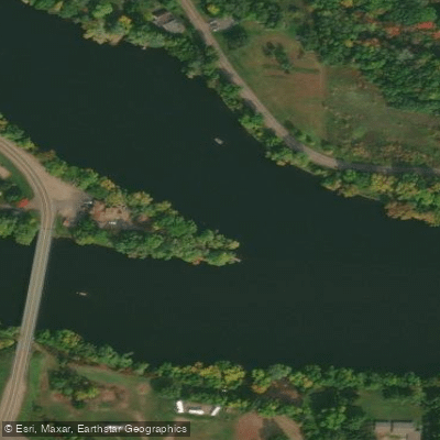
Learn how to get on Chippewa River. Uncover great paddling access points, boat ramps, and all the facilities you need for an unforgettable day on the water. Some locations shown may border or include private property. Always check property boundaries and applicable regulations before visiting. PaddleWays's Public & Private Land layer can help you plan your access with confidence.
Paddle smarter with real-time insights
Whether you're en route and conditions shift or you're looking for the best spot based on current flows, we enable you to make informed decisions on the fly.








Find Places to Paddle

Over 400,000 Places to Paddle
Every user gets free access to launch points, boat ramps, and public property parcels.


Water and weather conditions (10 day forecast)
See the best times to paddle Chippewa River and check the forecast before you go.
CHIPPEWA RIVER NEAR BRUCE, WI
All Flow Stations
Paddling near Chippewa River
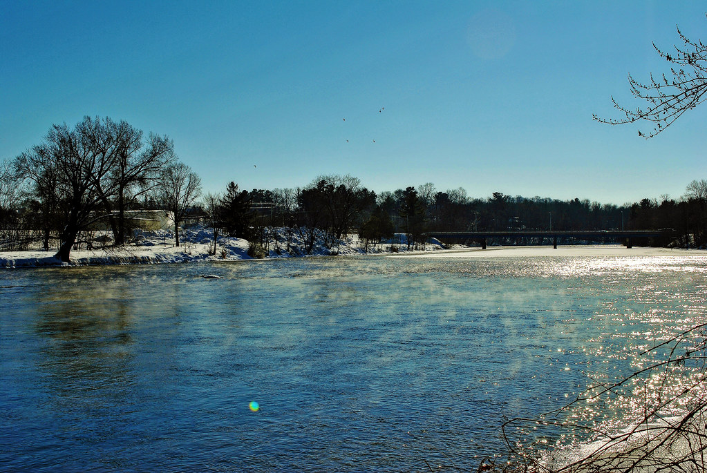
Red Cedar River
Lake Chetek

Mississippi River
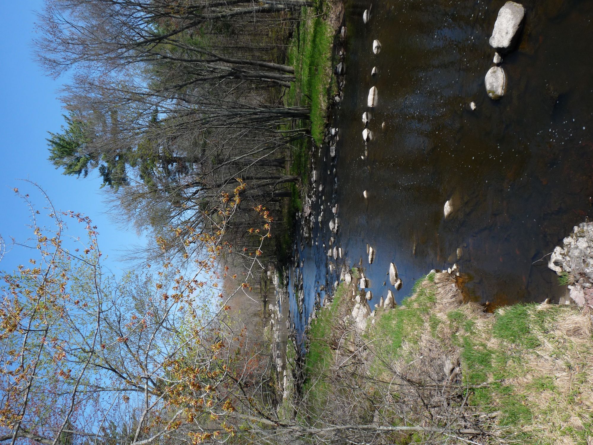
Yellow River
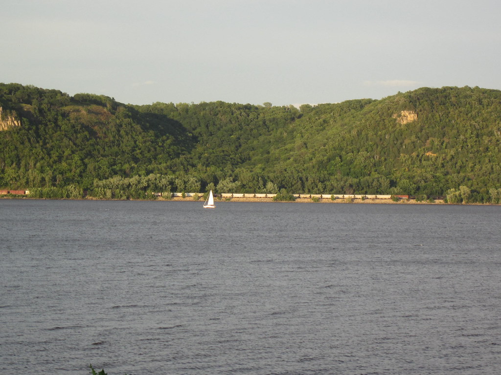
Lake Pepin
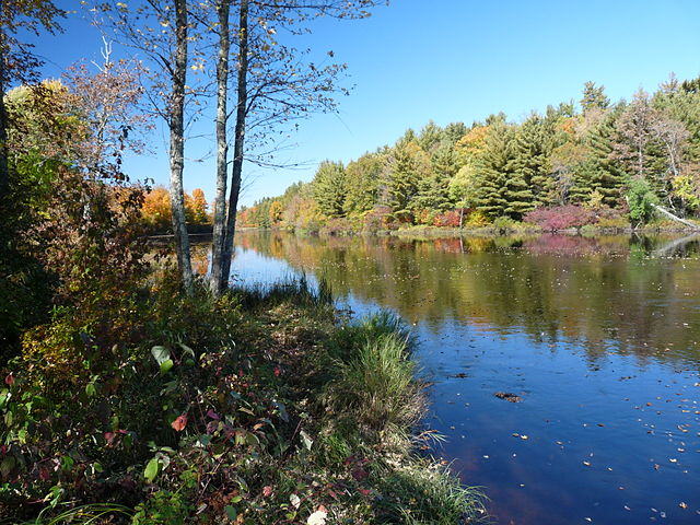
Flambeau River
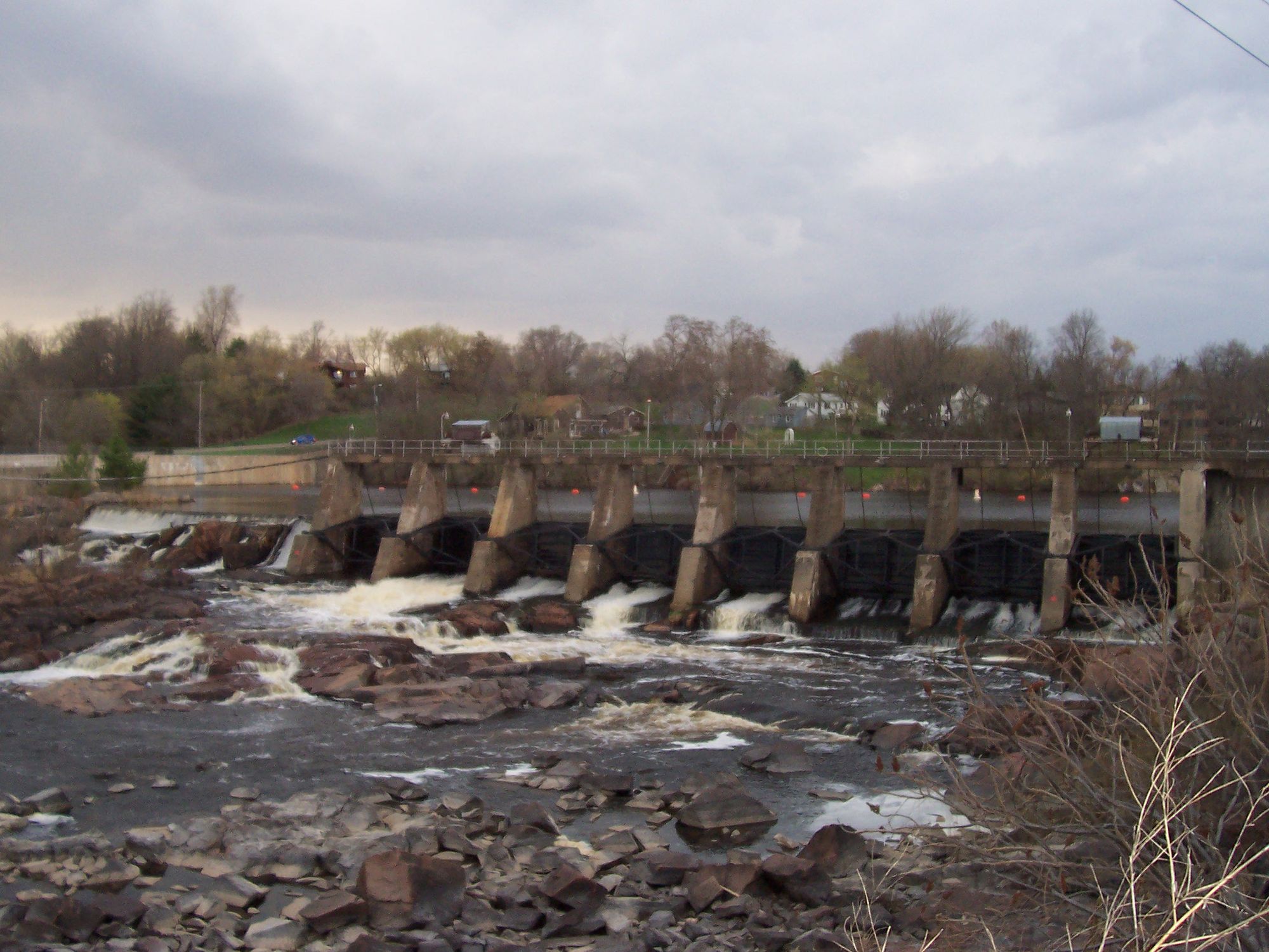
Black River

Willow River
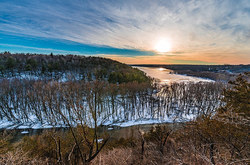
Kinnickinnic River
Explore Wisconsin waters
Top paddling waters
Popular Cities
Loading popular cities...
Explore near Chippewa River
Access points
Nearby waters
More in Wisconsin

Smarter Paddling Starts in the App.
Paddleways gives you everything you need to plan smarter, paddle better, and own every trip from first launch to takeout.