East Fork Chippewa River
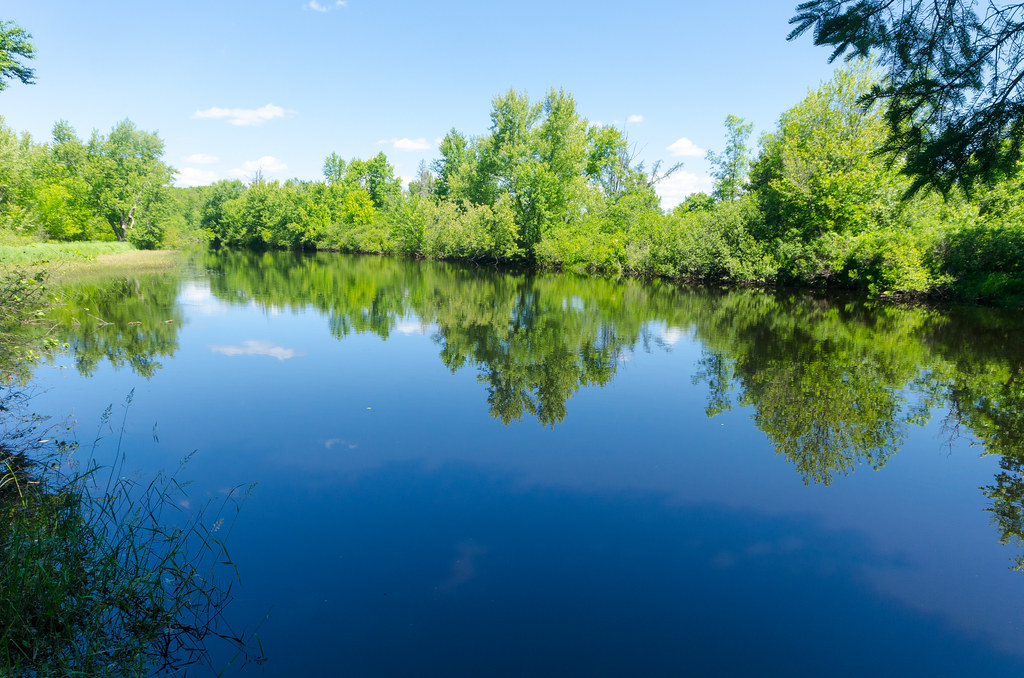
East Fork Chippewa River
- Boat Ramps
- 6
- Access Points
- 6
- Campsites
- 5
The East Fork Chippewa River is a scenic waterway in northwestern Wisconsin, originating in the forests near Glidden and flowing southwest to join the main stem of the Chippewa River. This tributary is part of the larger Chippewa River watershed, which ultimately drains into the Mississippi River. Paddlers can enjoy several sections of the East Fork, with the most popular runs being from Stockfarm Bridge to County GG and from County GG to Blaisdell Lake Road landing. These sections offer a mix of calm waters and gentle rapids, making the river suitable for beginners and intermediate paddlers alike. The overall difficulty ranges from Class I to II, with some mild rapids providing excitement without significant danger.
The river is best paddled in late spring through early fall, with water levels typically most favorable from May to June. During these times, paddlers can expect a peaceful journey through Wisconsin's northwoods, surrounded by towering red pines and diverse wildlife. Notable landmarks include the Stockfarm Bridge Recreation Area, a secluded spot offering camping, fishing, and canoeing opportunities. As the river approaches Bear Lake, it widens and slows, providing a tranquil paddling experience. The Snoose Creek State Natural Area, adjacent to the river, offers excellent wildlife viewing opportunities.
Access points are relatively well-spaced, with put-ins and take-outs at Stockfarm Bridge, County GG, and Blaisdell Lake Road landing. The nearest town is Glidden, about 10 minutes northeast of Stockfarm Bridge. The East Fork Chippewa River holds cultural significance as part of the traditional lands of the Ojibwe people. Today, it serves as an important recreational resource for locals and visitors alike.
Safety considerations include being prepared for changing weather conditions and potential logjams, especially in less-traveled sections. Paddlers should also be aware of the few sets of rapids between Bear Lake and County GG, which can become more challenging in high water conditions. For those interested in multi-day trips, combining the Stockfarm Bridge to County GG section with the County GG to Blaisdell Lake Road landing section creates an excellent two-day journey of about 13 miles. This allows paddlers to fully immerse themselves in the river's changing character, from its forested upper reaches to the more open waters near Blaisdell Lake.
The East Fork Chippewa River offers a quintessential northern Wisconsin paddling experience, blending natural beauty, mild whitewater, and rich cultural history into an accessible adventure for a wide range of paddlers.
Water access, boat ramps & amenities
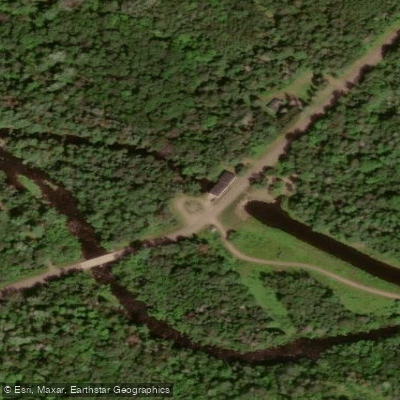
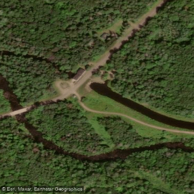
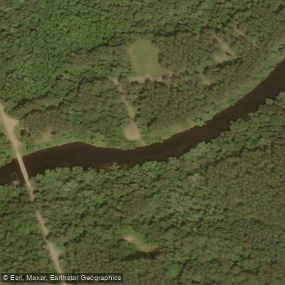
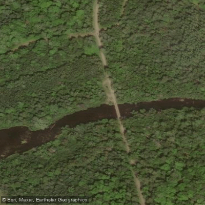
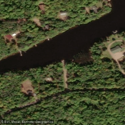
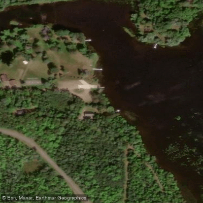
Learn how to get on East Fork Chippewa River. Uncover great paddling access points, boat ramps, and all the facilities you need for an unforgettable day on the water. Some locations shown may border or include private property. Always check property boundaries and applicable regulations before visiting. PaddleWays's Public & Private Land layer can help you plan your access with confidence.
Paddle smarter with real-time insights
Whether you're en route and conditions shift or you're looking for the best spot based on current flows, we enable you to make informed decisions on the fly.








Find Places to Paddle

Over 400,000 Places to Paddle
Every user gets free access to launch points, boat ramps, and public property parcels.


Water and weather conditions (10 day forecast)
See the best times to paddle East Fork Chippewa River and check the forecast before you go.
No forecast data available.
Paddling near East Fork Chippewa River
Namekagon River
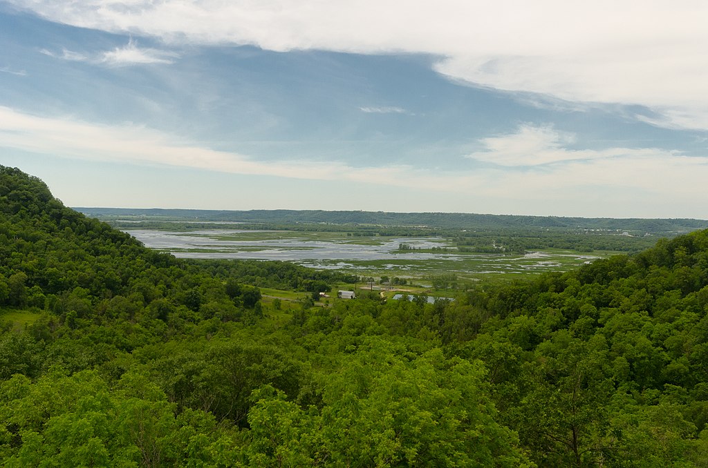
Chippewa River

Lake Superior
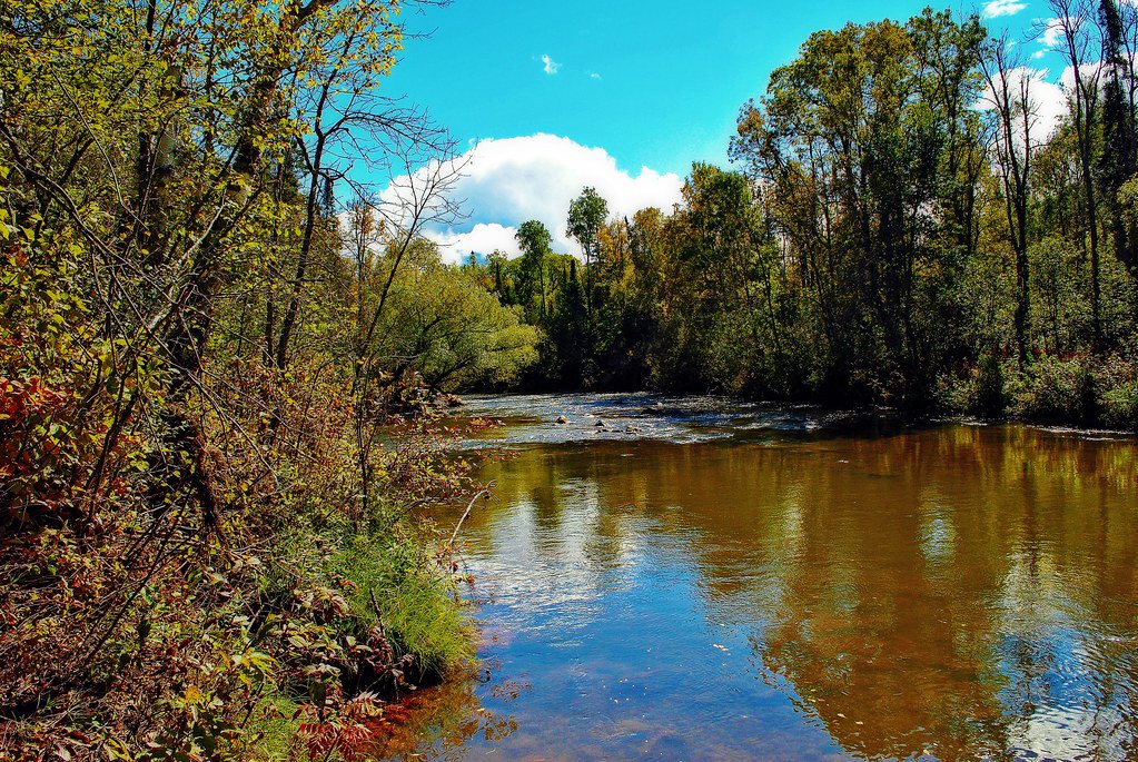
Bois Brule River
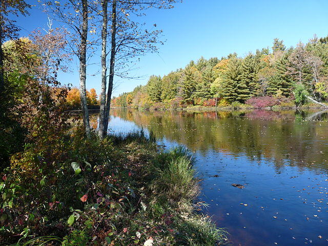
Flambeau River
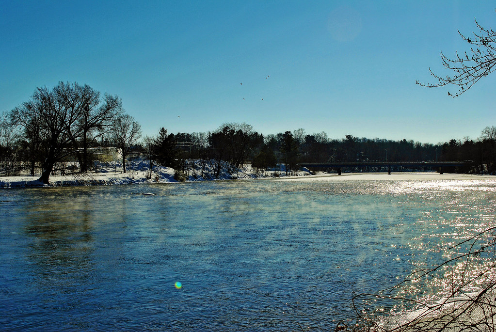
Red Cedar River
Yellow River
Long Lake Branch
Totagatic River
Explore Wisconsin waters
Top paddling waters
Popular Cities
Loading popular cities...
Explore near East Fork Chippewa River
Access points
Nearby waters
More in Wisconsin

Smarter Paddling Starts in the App.
Paddleways gives you everything you need to plan smarter, paddle better, and own every trip from first launch to takeout.