Totagatic River
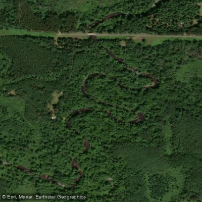
Totagatic River
- Boat Ramps
- 5
- Access Points
- 5
- Campsites
- 10
The Totagatic River is a pristine waterway flowing through northwestern Wisconsin. Originating at Totagatic Lake in Bayfield County, it winds southwest for approximately 70 miles before joining the Namekagon River, a tributary of the St. Croix. The river passes through five counties - Bayfield, Sawyer, Washburn, Douglas, and Burnett - draining a watershed of rich forests and wetlands.
Paddlers can experience the Totagatic's wild character across four main sections. The First Reach extends from Totagatic Lake to Nelson Lake, offering a scenic trip through undeveloped wilderness. The Second Reach continues from Nelson Lake Dam to Colton Flowage, providing 13 miles of Class I-II paddling. The Third Reach, a 36-mile stretch from Colton Flowage to the Washburn-Douglas County line, is popular for multi-day trips. For whitewater enthusiasts, a 8.9-mile section from Totogatic Flowage to Colton Flowage offers exciting Class II-III rapids.
Overall, the Totagatic ranges from flatwater to moderate whitewater, suitable for beginners to intermediate paddlers depending on the section. Spring and early summer typically offer the best water levels, though the river is paddleable into fall during wet years.
The river corridor supports diverse ecosystems, home to species like bald eagles, otters, and brook trout. Old-growth forests line much of the banks, creating a pristine paddling environment. Key landmarks include several dams and flowages, with High Falls and Buck Falls providing notable whitewater features. Primary access points include Totagatic Lake, Nelson Lake, Colton Flowage, and Minong Flowage, all within an hour's drive of Hayward or Spooner.
The river holds cultural significance for the Ojibwe people, from whom its name derives. As a state-designated Wild River, the Totagatic is protected from development, preserving its natural character.
Paddlers should be aware of potential logjams and rapids, especially at higher water levels. Camping is restricted along some sections, so trip planning is essential for multi-day excursions. The Totagatic River offers a true wilderness experience, allowing paddlers to immerse themselves in the beauty of northern Wisconsin's forests and waters across day trips or extended journeys.
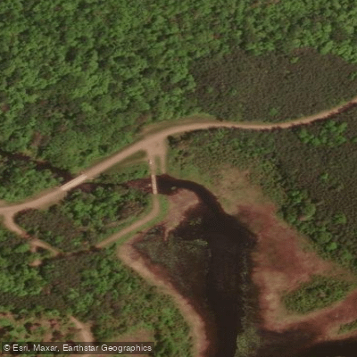
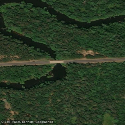
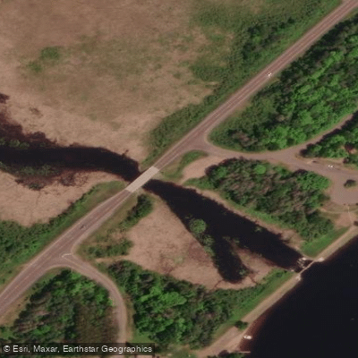
Water access, boat ramps & amenities
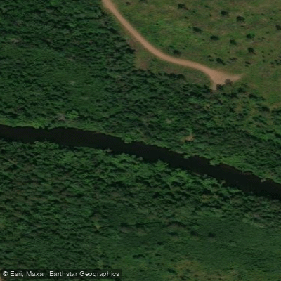
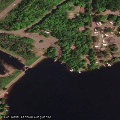
Learn how to get on Totagatic River. Uncover great paddling access points, boat ramps, and all the facilities you need for an unforgettable day on the water. Some locations shown may border or include private property. Always check property boundaries and applicable regulations before visiting. PaddleWays's Public & Private Land layer can help you plan your access with confidence.
Paddle smarter with real-time insights
Whether you're en route and conditions shift or you're looking for the best spot based on current flows, we enable you to make informed decisions on the fly.








Find Places to Paddle

Over 400,000 Places to Paddle
Every user gets free access to launch points, boat ramps, and public property parcels.


Water and weather conditions (10 day forecast)
See the best times to paddle Totagatic River and check the forecast before you go.
No forecast data available.
Paddling near Totagatic River
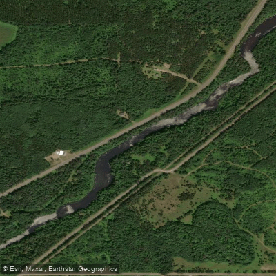
Namekagon River
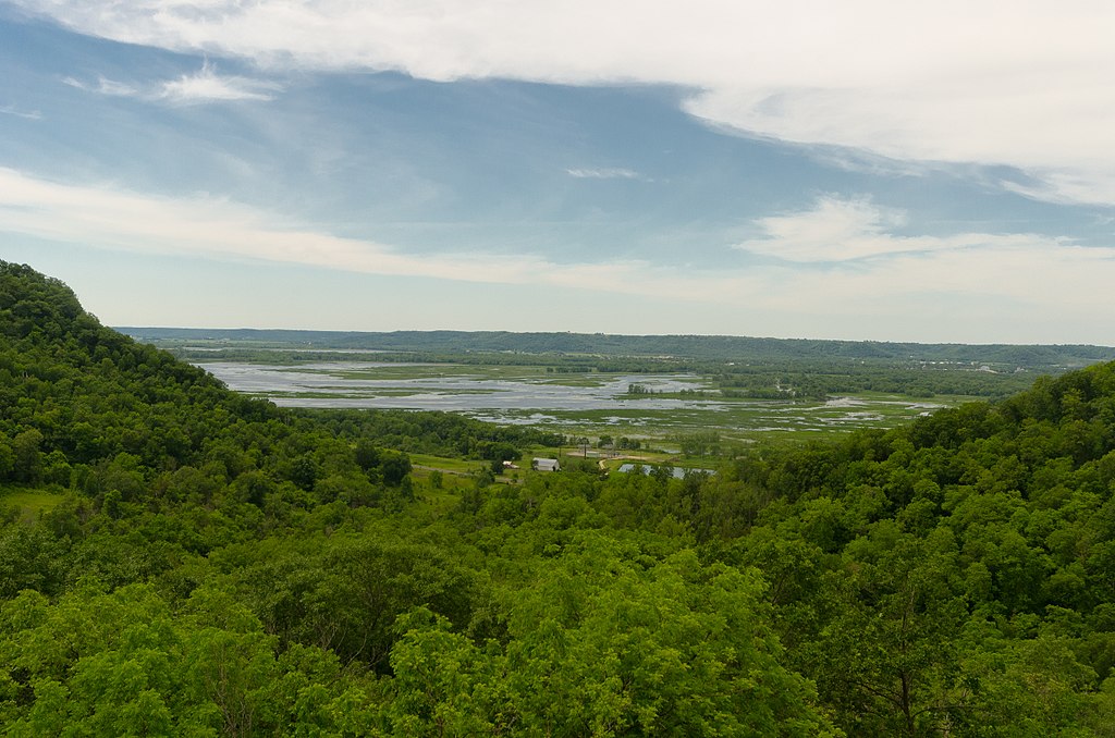
Chippewa River

Lake Superior
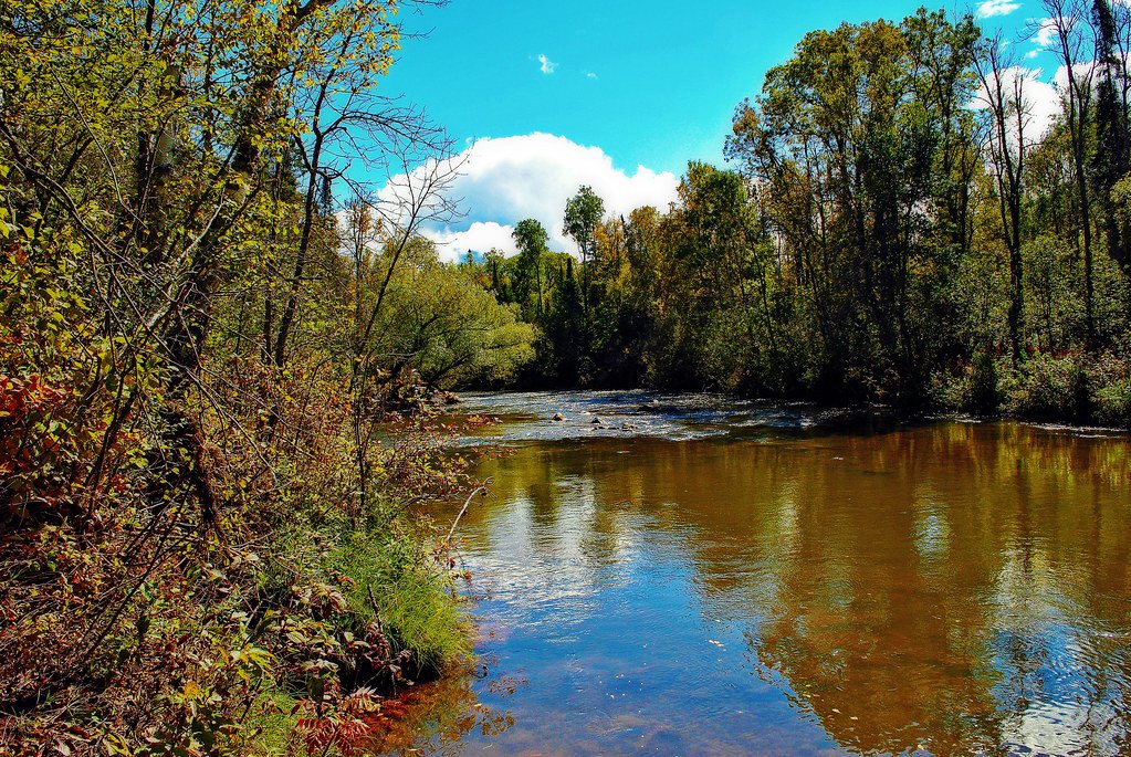
Bois Brule River
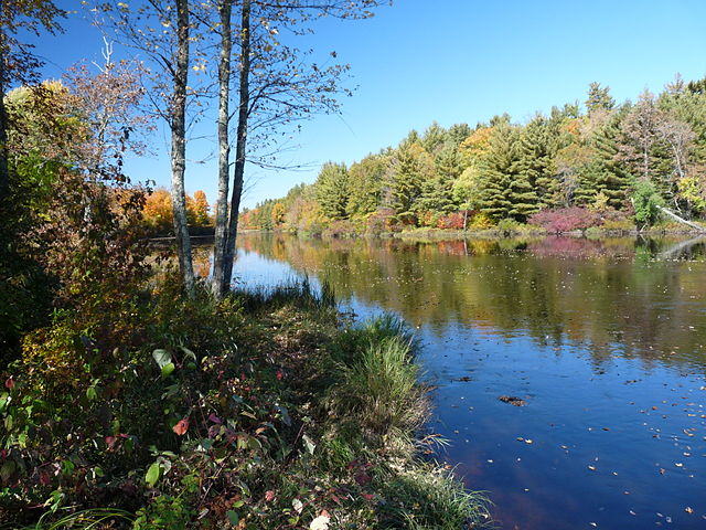
Flambeau River
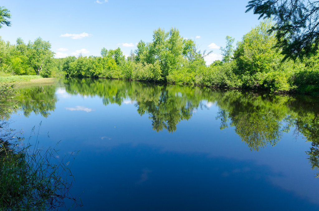
East Fork Chippewa River
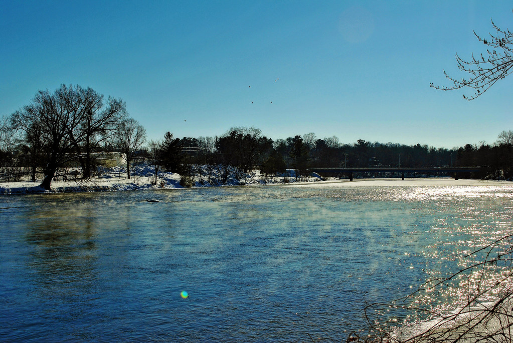
Red Cedar River
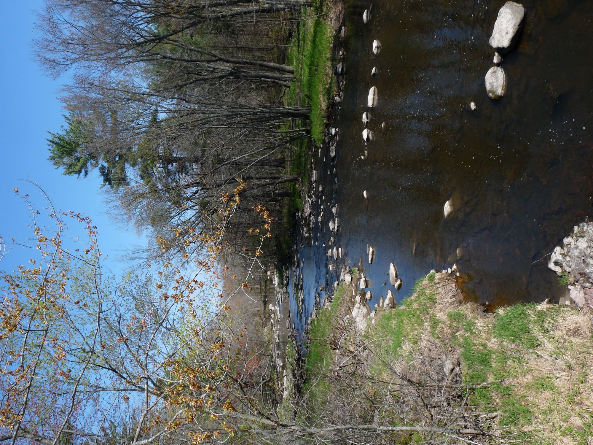
Yellow River
Long Lake Branch
Explore Wisconsin waters
Top paddling waters
Popular Cities
Loading popular cities...
Explore near Totagatic River
Access points
- Totagatic River Access
- Totogatic River Carry-in
- Totagatic River Access
- Totogatic River Carry-in
- Nelson Lake Park Boat Access
- Totagatic County Park Campground
- Shangri-la (old Brad And Kays) Campground
- Chicog Town Park Campground
- Howell Landing Campground
- Minong Wild Rivers Trail Campground
- Interstate Park Campground
- Pacwawone Flowage Campground
- All 16 spots
Nearby waters
More in Wisconsin

Smarter Paddling Starts in the App.
Paddleways gives you everything you need to plan smarter, paddle better, and own every trip from first launch to takeout.