Curated by PaddleWays
RouteClass II–III
- Distance
- 33.8 mi
- Paddle time
- ~8.5 hrs
- Put-in → take-out
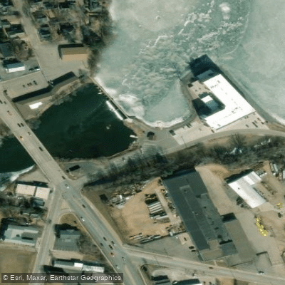
- Highway G → Schofield Dam Boat Launch
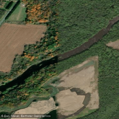
The Eau Claire River originates in southwestern Langlade County where its East and West Branches converge before flowing southwestward through Marathon County to join the Wisconsin River at the edge of Wausau. This descent from the Northern Highland to the Wisconsin River valley creates significant gradient changes, producing some of the finest whitewater paddling in central Wisconsin.
The river's most celebrated feature is the Eau Claire Dells, located in the Dells of the Eau Claire County Park. Here, the river has carved through ancient mylonite and rhyolite bedrock—igneous rock formations dating back 2 billion years—creating dramatic vertical cliffs and a challenging Class III-IV rapid sequence. These geological formations, polished smooth by millennia of water flow, display visible glacial potholes carved by the swirling action of Glacial Wisconsin's meltwater.
Paddling opportunities range from intermediate to expert level. The section from Bear Lake Road to County N Bridge offers approximately 14 miles of varied whitewater, with the most technical water concentrated between the Dells County Park and County Z. Class II rapids dominate most sections, featuring boulder gardens and granite ledges, while the Dells themselves present Class III-IV challenges that experienced whitewater paddlers seek out. Downstream sections from Club House Road to Ross Avenue provide 7.5 miles of easier Class I water interspersed with boulder gardens, suitable for paddlers with basic whitewater skills.
Water levels fluctuate dramatically and are critical to trip planning. The USGS gauge at Kelly (Highway SS Bridge) provides flow data, with 600-1500 cfs generally offering optimal conditions for intermediate paddlers. Below 300 cfs, rocky sections become unrunnable; above 2000 cfs, the river demands advanced skills. Spring runoff and periods following sustained rainfall provide the most reliable water levels, though the river can spike quickly during summer storms.
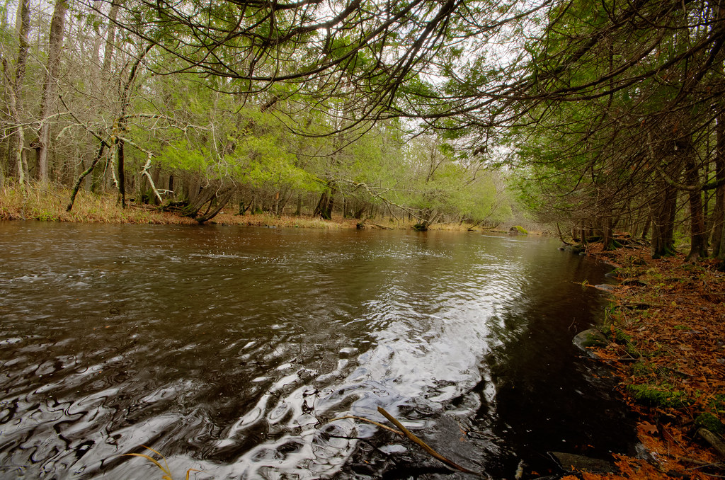
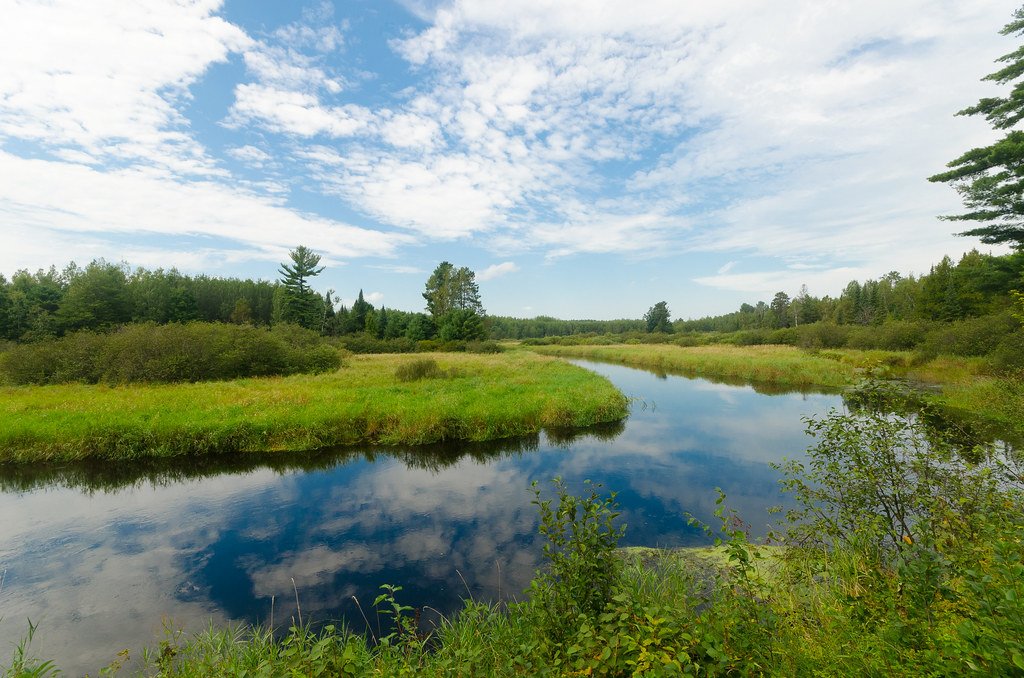
The river corridor showcases northern Wisconsin's conifer-hardwood forest, with white cedars, hemlocks, and white pines prominent along the banks. Bald eagles, sandhill cranes, and various heron species frequent the waterway, while deer and black bears inhabit the surrounding forests.
Access points include Bear Lake Road, Highway 52 at Hogarty, the Dells County Park (which offers camping), County Z, County N, Club House Road, and Ross Avenue near Weston. Most facilities are basic roadside accesses, though the county park provides developed amenities.
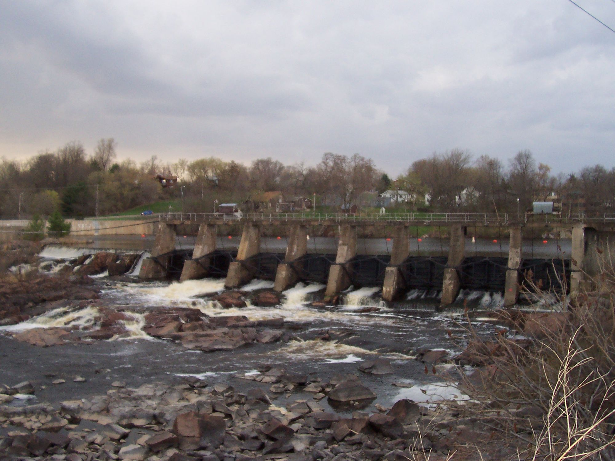
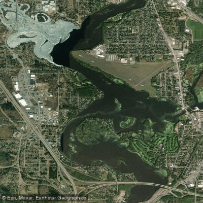
The Dells County Park preserves not only geological wonders but also segments of the Ice Age Trail and historic Civilian Conservation Corps structures from the 1930s. A dam at the park creates a small flowage; paddlers must portage or run the dam's gates depending on skill level and water conditions. The final miles enter Lake Wausau's impoundment before the Wisconsin River confluence, transitioning from whitewater to flatwater paddling.
Curated routes
Hand-picked by the PaddleWays team, with put-ins, take-outs, paddle times and the hazards along the way.
RouteClass II–III
Hazards
No paddler has reported a hazard here yet, so these are the dams, falls and big rapids on our map. Hazards change with flows and storms, so check them before you launch.
From the community
Nobody has shared a trip on Eau Claire River yet. Paddle it, then tell the next paddler how it went.
See exactly where the public can get on and off the river. Launch points and boat ramps are paired with PaddleWays' public land data so you know where you can legally land.
Public shoreline
6%of the river's shoreline is public
Most of the riverbank is private. Launch, land and camp only at public access points.
Flows, weather and a route-by-route verdict, so you know which stretch of the Eau Claire River is worth paddling today.
Live flows, marked hazards and fresh trip reports from paddlers who were just on the water, all in one place.





Every user gets free access to launch points, boat ramps, and public property parcels.
Loading popular cities...
PaddleWays gives you everything you need to plan smarter, paddle better, and own every trip from first launch to takeout.